


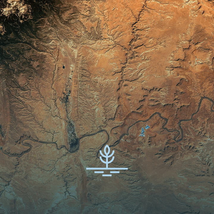
Vegetative Encroachment

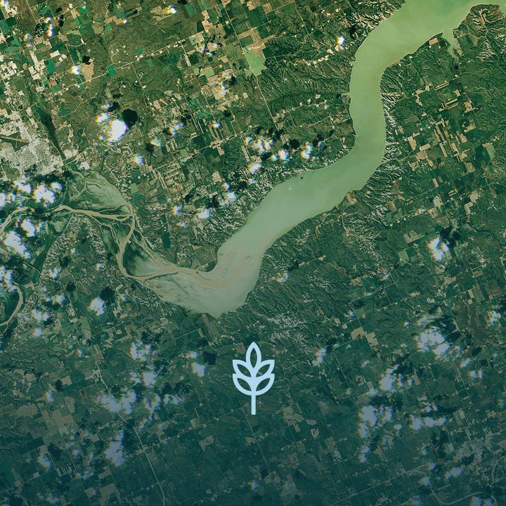
Crop Health
Flash Drought