Earth Observation: EarthMosaics
See the World Clearly — Every Pixel, Every Decision
Seamless, Cloud-Free Satellite Mosaics Powered by the EarthDaily Constellation
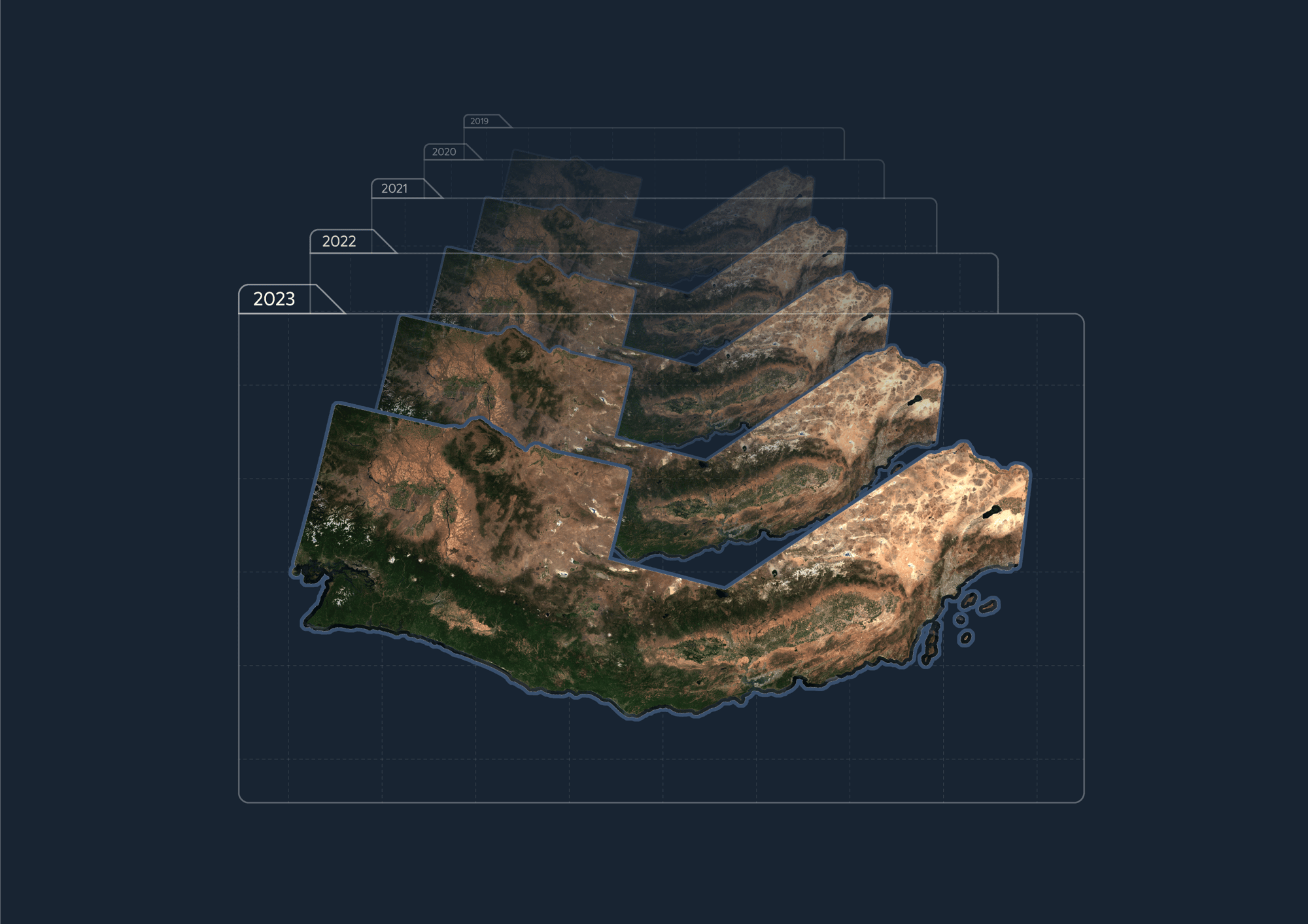
Data That Drives Better Decisions at Scale
Earth Observation users struggle with incomplete and inconsistent image data—clouds, geometric distortions, and processing gaps limit the accuracy and speed of large-scale analysis.
EarthMosaics solves this, providing:
- Cloud-free, high-quality mosaics
- Seamless integration of Sentinel-2 and Landsat imagery
- Accurate corrections for atmosphere and geometry
Combined with the EarthDaily Constellation (EDC), the future of scalable, global data is here.
High-Quality Imagery, Harmonized for Analytics
- Global Coverage: Access data from 2016 to the present, anywhere in the world.
- Cloud-Free and Location-Corrected: Always consistent, ready for machine learning and geospatial analysis.
- Custom or Self-Service: Self-serve via Web UI, or request bespoke mosaics with advanced formats like airborne and hyperspectral.
EarthDaily Constellation Integration –
The Next Level of Data
EarthMosaics leverages EarthDaily Constellation (EDC) to offer higher resolution and greater precision, smaller time scales for updates, and seamless analysis in complex environments.With this integration, EarthMosaics becomes a real-time solution for your most challenging data needs.
Cloud-Free Mosaics
Built for precision, EarthMosaics removes data gaps and inconsistencies to deliver mosaics you can trust.
Scalable and Accessible
Choose between self-service access through an intuitive Web UI or custom solutions for advanced requirements.
AI-Ready
Optimized for data science workflows, EarthMosaics supports radiometry consistency and high-volume geospatial processing.
The EarthMosaics Difference
Radiometric Balancing: image normalization to scientific sensors resulting in scientific-grade balancing of radiometry (e.g. seasonal changes) for any ingested dataset
Geometric Alignment: Removal of any geometric distortion, paired with correction for any camera orientation effects leading to the highest level of resolution and accuracy
Pixel Composition: Pixel level mapping to source images and metadata allowing every best available measurement to be mapped back to its source for traceable analytics
Data Filter and Selection: The process of determining the best available pixel for the best available output measurement based on optimized criteria for different use cases
Ready to Get Started?
Request a demo today and experience how EarthMosaics can transform your Earth Observation workflows.
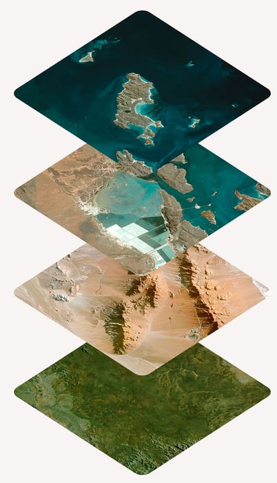
Be Ready to Respond to Any Geospatial Challenge
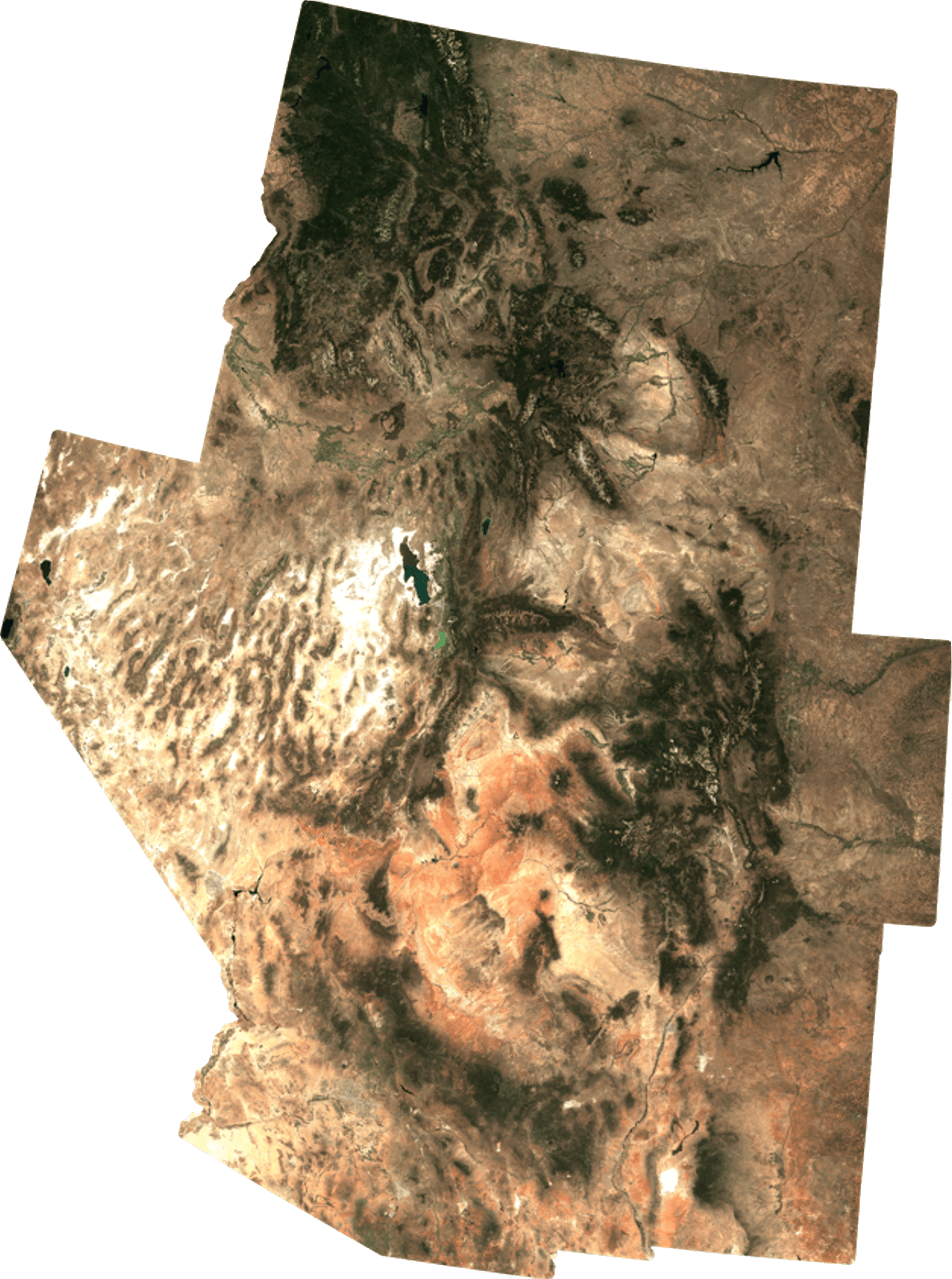
Mapping Big & Small
Mosaic challenges grow exponentially with scale—correcting 10 images can be hard, but how about 1000s of images? Our analytics-ready mosaics provide maps for you to power large scale applications.
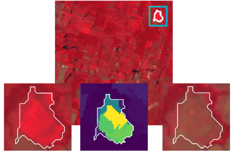
Mapping Big & Small
Mosaics are geometrically and radiometrically corrected so you can see the subtle changes in your maps. Detect changes easier and faster than ever before with fewer false positives. Above: Sentinel-2 Mosaic. Images from left to right show significant change between spring & fall 2019.
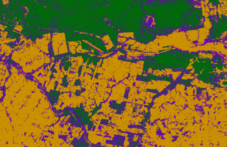
Environmental Change
Natural regions change as new ecosystem variables are introduced, such as mining sites. Seasonal mosaics enable you to measure change over the course of a year or multiple years.
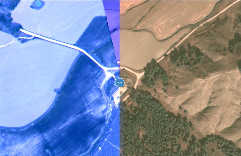
Exploitation Ready
See the scientific signals, minimize false positives in change detection, and contextualize data with other datasets. Cloud-free 10m Sentinel-2 mosaics delivered as you need them—through a web interface, a Cloud-Optimized GeoTIFF, or an XYZ tiled web-streaming service.
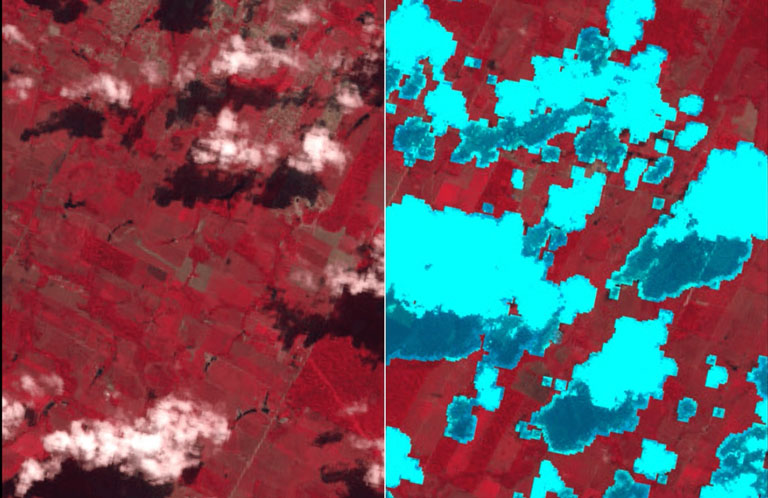
Automated Refinement
You don't have to manage: searching and sorting, cloud masking, image balancing, or location corrections. With analytics-ready mosaics, you are ready to solve the most challenging geospatial analytics problems.
Not sure what you're looking for? Let's discuss your unique geospatial challenges.
Get in touch to discover how EarthMosaics can help you break through your geospatial data bottlenecks.
Join Industry Leaders in Data Innovation
Trusted by experts in forestry, natural resources, and government sectors for reliable, harmonized Earth Observation data.