EarthDaily for Governments
Geospatial Intelligence for a Changing World
EarthDaily Analytics delivers advanced Earth Observation data and analytics solutions to government agencies worldwide, empowering fast, high-stakes decisions in the face of mounting global pressures.
In a World of Risk, Delay Is the Enemy
Today’s Governments Are Under Pressure Like Never Before
Rising climate volatility. Growing geopolitical instability. Increasing demand on natural resources. These are the realities national governments must navigate daily—yet many are doing so without the data needed to act with speed or confidence.
Access to Earth Observation data is often siloed, delayed, or too complex to use at the speed of modern decision-making. The result? Delayed action. Missed signals. Increased risk. To govern effectively in this era of rapid change, access isn’t enough. Governments need clarity, speed, and confidence—exactly what EarthDaily delivers.

Powered by Deep Data Expertise
Governments Deserve Clarity at the Speed of Global Change
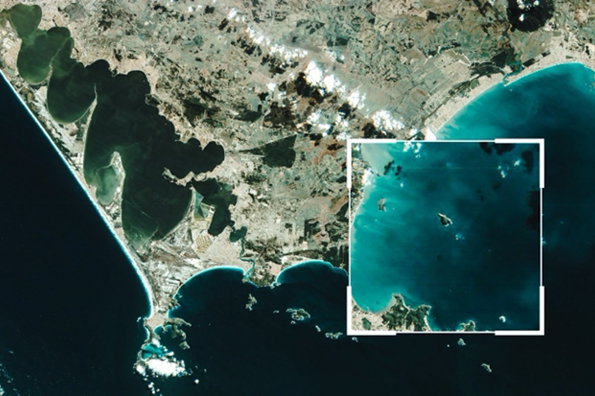
At EarthDaily, we equip governments and international organizations to act fast—and act right. Our platform unites premium Earth Observation imagery, trusted global datasets, and powerful analytics into one seamless solution.
We don’t just deliver satellite imagery—we deliver clarity. With deep expertise and integrated technology, EarthDaily powers rapid, precise, mission-critical decisions.
From high-resolution EO data to expertly curated insights and intuitive tools, we provide the full spectrum of operational geospatial intelligence—built for speed, built for action.
In moments of crisis, delays aren’t an option. Whether responding to environmental disasters or security threats, EarthDaily cuts through the noise—turning raw global data into real-time, actionable intelligence.
Unlock the Full Power of Geospatial Intelligence
Governments around the world are using EarthDaily’s tools to make faster, smarter decisions—whether managing natural disasters, securing borders, or protecting critical resources.
Discover the products, platforms, and solutions tailored to meet your mission.
A New Era of Global Monitoring
EarthDaily Constellation:
Superspectral EO Data at Your Fingertips
With the launch of the EarthDaily Constellation, governments will gain daily, high-resolution imaging of land and maritime zones worldwide—unlocking persistent change detection, object tracking, and situational awareness at unmatched scale.
This next-generation capability brings the full picture into view—every day, everywhere.
EarthDaily partners with a number of public and commercial data providers to create a "virtual constellation" that provides our customers with complementary datasets. Discover more about other data products available to supplement your analyses.
These capabilities translate into real-world impact across the government mission space.
Example Use Cases
Solving Complex Challenges, Quickly
By combining Earth Observation (EO) and remote sensing data, with AI-driven analytics, and all the tools needed to expedite their workflows, mining companies can gain unprecedented insights into every stage of the mining process. From identifying mineral deposits to monitoring mine site stability and environmental impact, these solutions enable data-driven decision-making that enhance productivity and reduces risk.
Surveillance and Reconnaissance
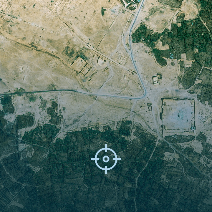
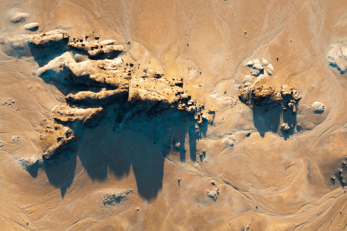
Gather intelligence on potential threats, troop movements, and activities of interest in remote or inaccessible areas. Maintain situational awareness and enhance conflict preparedness and humanitarian relief efforts.

Maritime Security
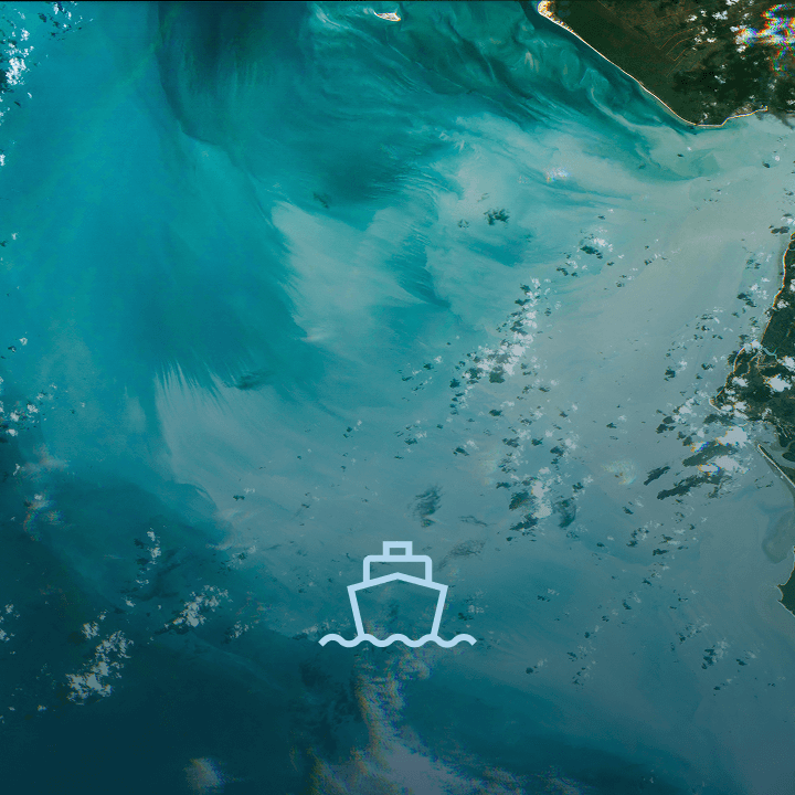
Identify potential threats from unknown or suspicious ships—even along extensive coastlines or large maritime regions. Combat illegal fishing to improve conservation efforts, monitor economic trade routes, and increase food security.
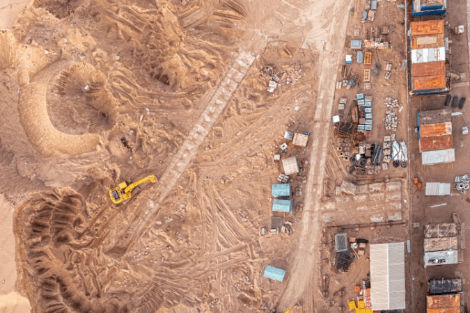
Sanctions Monitoring and Compliance
Identify new construction activities in sanctioned areas where building work might be prohibited, including military facilities, nuclear sites, or other sensitive infrastructure. Verify claims of decommissioning or dismantling facilities as required under certain sanctions or international agreements.

Border and Exclusive Economic Zone Enforcement
Monitor activities within a country’s borders and EEZ, to ensure no unauthorized activities occur. Improve border security in remote regions by detecting unauthorized crossings or actions that might signal security threats.

Designed for Government. Built for Impact.
- Environmental Resilience
Detect wildfires, floods, droughts, and pollution before they escalate. Monitor ecosystem degradation, urban expansion, and climate shifts to inform both emergency response and policy action. - Strategic Resource Oversight
Track agricultural output, water availability, and energy assets to safeguard food security, optimize national resource strategies, and reduce economic vulnerabilities. - National and Border Security
Strengthen border operations, monitor unrest or illicit activity, and keep a persistent eye on high-risk zones—ensuring national sovereignty and public safety. - Maritime Domain Awareness
Oversee exclusive economic zones, monitor fishing activity, track vessel movement, and detect smuggling or piracy—securing vital maritime interests.
Whether it’s crisis response, resource management, or national security—EarthDaily is the partner governments trust to deliver when the stakes are high.
Contact Us
A Trusted Partner to Public Sector Leaders
EarthDaily works with national authorities, intergovernmental alliances, and civil agencies to deliver trusted geospatial intelligence—tailored to mission needs and global scale.
Let’s talk about how we can help your agency lead with confidence, powered by clarity.