The Amazon Rainforest, the Serra da Neblina, and Everything in Between – All of Brazil Every Day…Even When It’s Cloudy
Our customers and partners include leaders and innovators across the public and private sectors, including long-established and instantly familiar names, up-and-coming firms at the cutting edge of their fields, and numerous companies that have realized the tangible value of having a better, more contextualized, and more up-to-date understanding of the world around them.
As we count down the days until the scheduled launches of the EarthDaily Constellation (“EDC”), we are shining a spotlight on some of those who recognize the benefit of working with EarthDaily Analytics in unlocking the game-changing power of Everywhere Everyday and an end-to-end, purpose-built AI-driven data platform.
Today’s Channel Partner in the Spotlight:
A Brazilian geotechnology and earth observation platform, TecTerra develops partnerships, strategies, and innovative integrated solutions with applications across numerous verticals.
TecTerra has signed a contract to offer EarthDaily Constellation data on its platform, dTEC, incorporating EDA’s daily revisit, global coverage, and breadth of spectral signatures into its direct product offering and integrated solutions.
In this way, TecTerra, in partnership with EarthDaily Analytics and utilizing EDA technology, now offers all spatial analysis options based on remote sensing.
The Challenge:
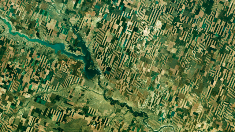
Brazil’s vast and diverse landscapes, combined with dynamic weather conditions, pose significant challenges for regional and national imaging, monitoring, and analysis. Whether mapping and assessing the vast, often cloud-covered, and densely packed Amazon rainforest for purposes of tree species identification and cataloging, or attempting to monitor and regulate illegal forestry, mining, or other illicit or otherwise problematic activities across tens of thousands, hundreds of thousands or even millions of square kilometers, the processes of collection, processing, and change detection each require consistent data quality, expert knowledge, and advanced data tools.
How EDA is the Solution:
Following the launch of EarthDaily’s Constellation, the most advanced change detection system in the world, EDA will be able to capture and provide TecTerra and its clients a uniquely powerful data stream purpose-built for AI applications. EDA’s multi-spectral daily global coverage and AI-driven ground segment powered by AWS make it possible to effectively monitor exponentially larger and more complex regions than would be possible with less powerful solutions. By imaging the world at the same time and angle every day, and then capturing and cross-referencing across 22 spectral bands, the EarthDaily Constellation will enable TecTerra’s customers to not only see what is happening in near real-time with high-frequency revisit, but to utilize AI tools to see far more than what the human eye can capture: vegetation robustness or degradation, wild flora identification, concentrations of invisible gases such as methane, variations in heat related to unseen fires or industrial activity, and numerous other phenomena – even when there is cloud cover.
Are you interested in learning more and getting in on the ground floor of the Earth Observation revolution that is the EarthDaily Constellation? Learn More
Next Steps
—Ready to talk to us? Contact Us
—Want to hear more from us? Sign up for our newsletter

