.jpg?width=289&height=168&name=Data%20Use%20cases%20(1).jpg)
Over the last few years, NASA’s Jet Propulsion Laboratory (JPL) has been advancing its SAR-based capabilities through its Observational Products for End-Users from Remote Sensing Analysis (OPERA) project.
The OPERA project includes two Interferometric Synthetic Aperture Radar (InSAR) products that will be deployed continuously for North America and U.S. territories:
- Coregistered Single Look Complex (CSLC)
- Surface Deformation (DISP-S1)
These products are part of an InSAR processing system that plays a critical role in tracking surface deformation, providing high-resolution geospatial intelligence for applications such as monitoring coastal subsidence, groundwater depletion, and effects of resource extraction.
EarthDaily collaborated with JPL in the development and verification of these OPERA products, conducting independent validation of the quality of CSLC products and confirming their usability for large-scale analysis of land surface deformation. EarthDaily was also able to independently verify certain deformation signals with unusual temporal characteristics with its deformation time-series pipelines.
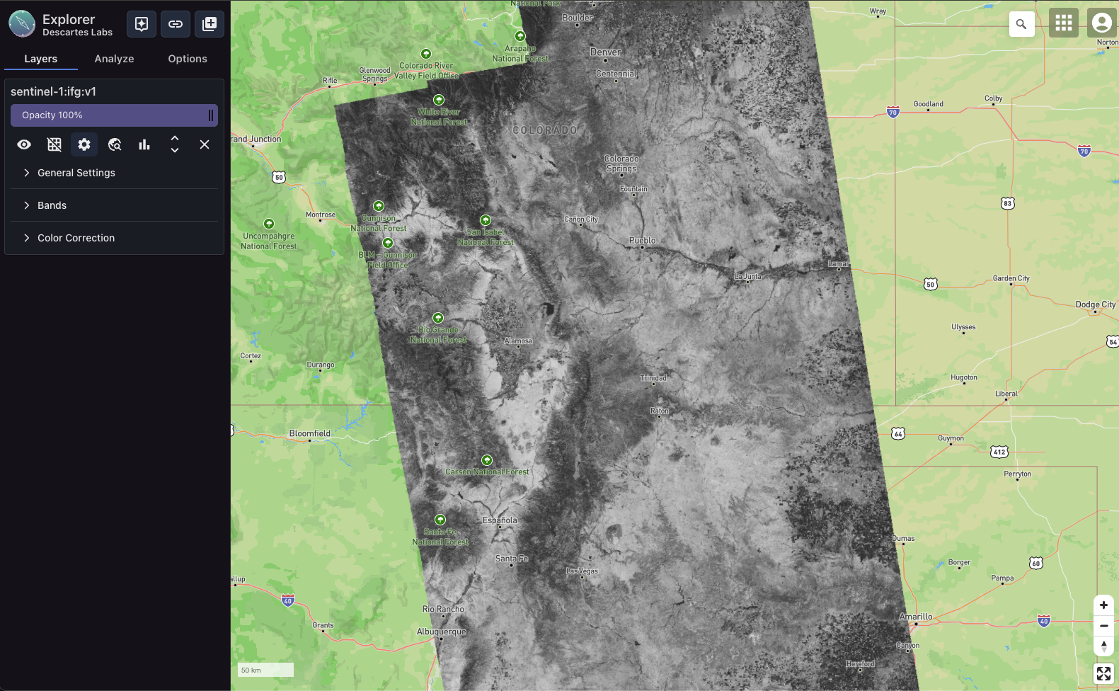
OPERA - Coregistered Single Look Complex
OPERA’s Coregistered Single Look Complex (CSLC) product consists of single-look complex (SLC) images that have been precisely aligned to a predefined UTM/Polar stereographic map projection system. This Level 2 product, derived from Sentinel-1 radar observations, is delivered with a spatial posting of 5 meters by 10 meters in the eastward and northward directions respectively. The CSLC product serves as the foundational dataset for JPL’s OPERA Displacement product, produced with open-source InSAR Scientific Compute Environment Enhanced Edition (ISCE3) and is accessible through the Alaska Satellite Facility Distributed Active Archive Center. The team at EarthDaily had extensive experience with pipeline development using CSLC data prior to the engagement with JPL (see An Efficient Global Scale Sentinel-1 Radar Backscatter and Interferometric Processing System.)
EarthDaily began collaborating with JPL early in the process of verifying usability of the CSLC product for large scale InSAR analysis. Key contributions include:
- Feasibility Assessment: Demonstrated federation of CSLC products via NASA’s Earthdata cloud infrastructure within the EarthDaily platform to access and analyze the data just like other cloud native datasets.
- Evaluate Consistency: Developed methodology for analyzing burst overlap interferograms over long data takes to assess consistency of processing across different Sentinel-1 bursts.
- Independent Verification: Validated that OPERA CSLC products produced consistent deformation estimates by comparing with EarthDaily’s independent InSAR time-series processing pipeline that uses geocoded (CSLC) bursts from an in-house developed processor.
OPERA - Land Surface Displacement Mapping of North America and US Territories
The North America Displacement Map, recently released by OPERA, provides a high-resolution deformation map for monitoring surface deformation changes across North America and U.S. territories. This dataset is a crucial tool for analyzing tectonic shifts, subsidence, infrastructure stability, and natural hazard risks.
EarthDaily is proud to have played a role in this effort by:
- Contributing Phase Unwrapping Code: Developed the Spatial and Temporal Phase Unwrapping for InSAR Time-series (SPURT) module and contributed it to JPL-maintained ISCE framework for direct integration into their time-series analytics tools.
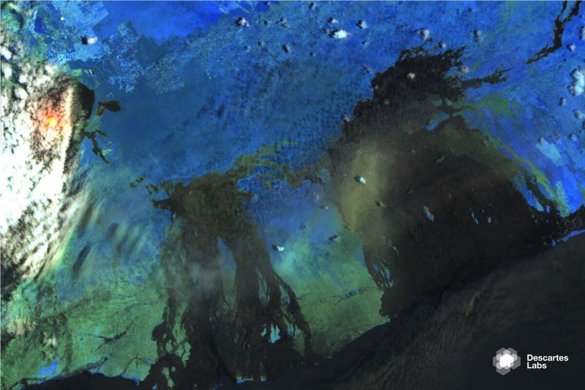
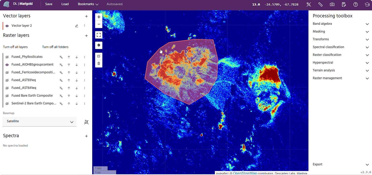
- Providing Independent Verification Using Quicklook: EarthDaily’s Iris Quicklook capability enabled efficient cross-checking of deformation signals discovered by JPL. Quicklook provides on-demand deformation analyses using Sentinel-1 data at slightly lower resolution than EarthDaily’s production pipelines, making it an effective tool for rapid regional trend assessment and identifying areas for further investigation. Below are three examples showing seasonal groundwater depletion (used as a validation for JPL’s pipeline), wastewater injection, and subsurface mining.

Example - Quicklook capability visualized in Iris. Step-like subsidence signals over an area in Central Valley indicating subsidence due to ground water use in summer months.
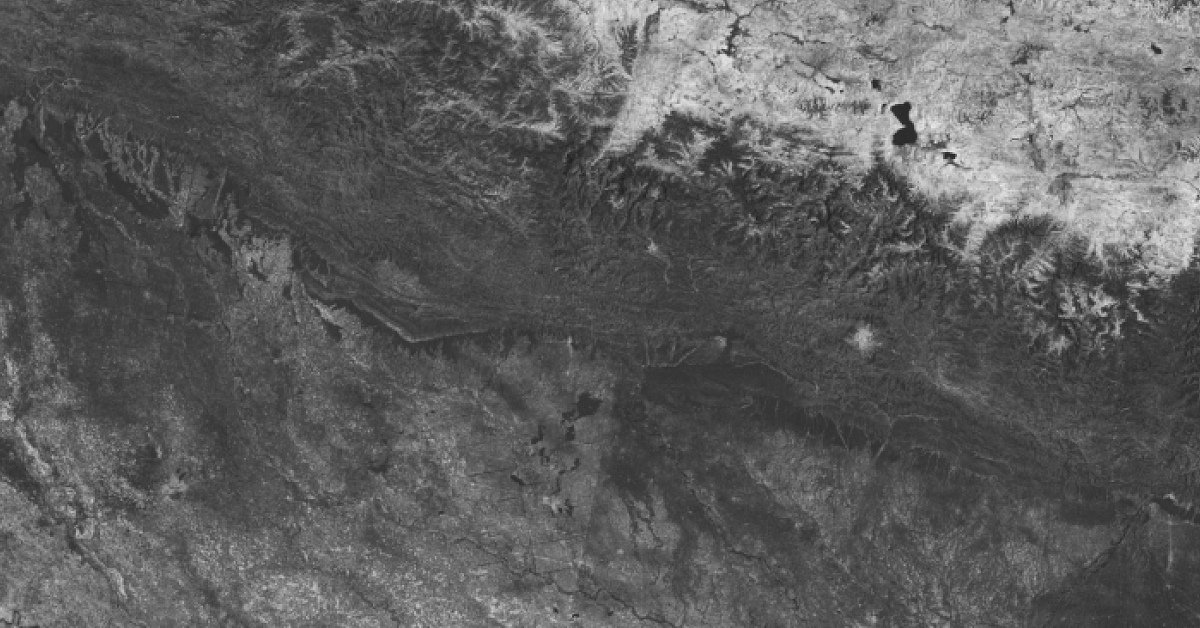
Example - Quicklook capability visualized in Iris. Pressure and relief cycle associated with induced seismicity in the Permian basin.

Example - Quicklook capability visualized in Iris: Subsidence due to underground mining in Wyoming.
Advancing Open Source InSAR Collaboration
Participating in the OPERA project also allowed EarthDaily to contribute directly to open-source innovation within the InSAR research community.
- SPURT Phase Unwrapping Module: EarthDaily released the Spatial and Temporal Phase Unwrapping for InSAR Time-series (SPURT) module into the public domain via the InSAR Scientific Computing Environment (ISCE) framework on GitHub. This tool enhances the accuracy and robustness of deformation mapping by providing independent verification.
- Expanding Open-Source Contributions: EarthDaily also contributed to other open repositories, such as RAiDER and GMTSAR, and remains committed to sharing advancements with the broader scientific community.
- Publishing: EarthDaily’s commitment to broad scientific engagement has led to a number of publications and technical notes. Including:
o An Efficient Global Scale Sentinel-1 Radar Backscatter and Interferometric Processing System
o Radiometric Terrain Flattening of Geocoded Stacks of SAR Imagery
o Contextual uncertainty assessments for InSAR-based deformation retrieval using an ensemble approach
o Deformation monitoring with Sentinel-1 Wave mode data
o Merging Point Data for InSAR Deformation Processing
o Modifying Range-Doppler geometry frameworks to process Spotlight SAR imagery in Polar Format
Sharing the Value
The OPERA RTC/CSLC products are now fully integrated into the EarthDaily platform, offering seamless access via the same API as our other geospatial products. Additionally, the platform supports federated access to a variety of complementary open SAR datasets, including:
- RCM (RADARSAT Constellation Mission) ARD data over Canada
- Umbra and Capella Geocoded Ellipsoid Corrected (GEC) images from their open data programs
This provides a high-value, scalable solution for leveraging OPERA’s cutting-edge deformation mapping technology alongside a broader suite of geospatial analytics tools.
Looking Ahead
EarthDaily remains dedicated to supporting national geospatial initiatives and furthering InSAR innovation. Looking ahead, we are:
- Preparing to integrate Sentinel-1C into production pipelines.
- Anticipating the launch of NISAR, ensuring readiness to ingest, federate and process its data at scale. NISAR’s longer wavelength will support analysis that are complementary to Sentinel-1.
- Committed to continuing collaboration with JPL and the broader scientific community, reinforcing our goal of delivering high-quality, mission-critical geospatial intelligence.
As JPL continues to pioneer InSAR-based deformation mapping, EarthDaily is honored to contribute to these transformative efforts. By combining government-led innovation with industry expertise, we are ensuring that InSAR technology continues to drive progress in monitoring our planet’s ever-changing surface.
Additional Links:
OPERA Project Releases Level 3 Displacement Products
Webinar: Discover and Access the OPERA-DISP Dataset Using ASF DAAC’s Displacement Portal