.jpg?width=289&height=168&name=Data%20Use%20cases%20(1).jpg)
Science-grade Earth observation is about trust in data — calibrated, consistent, and comparable meas...
Science-grade Earth observation is about trust in data — calibrated, consistent, and comparable meas...
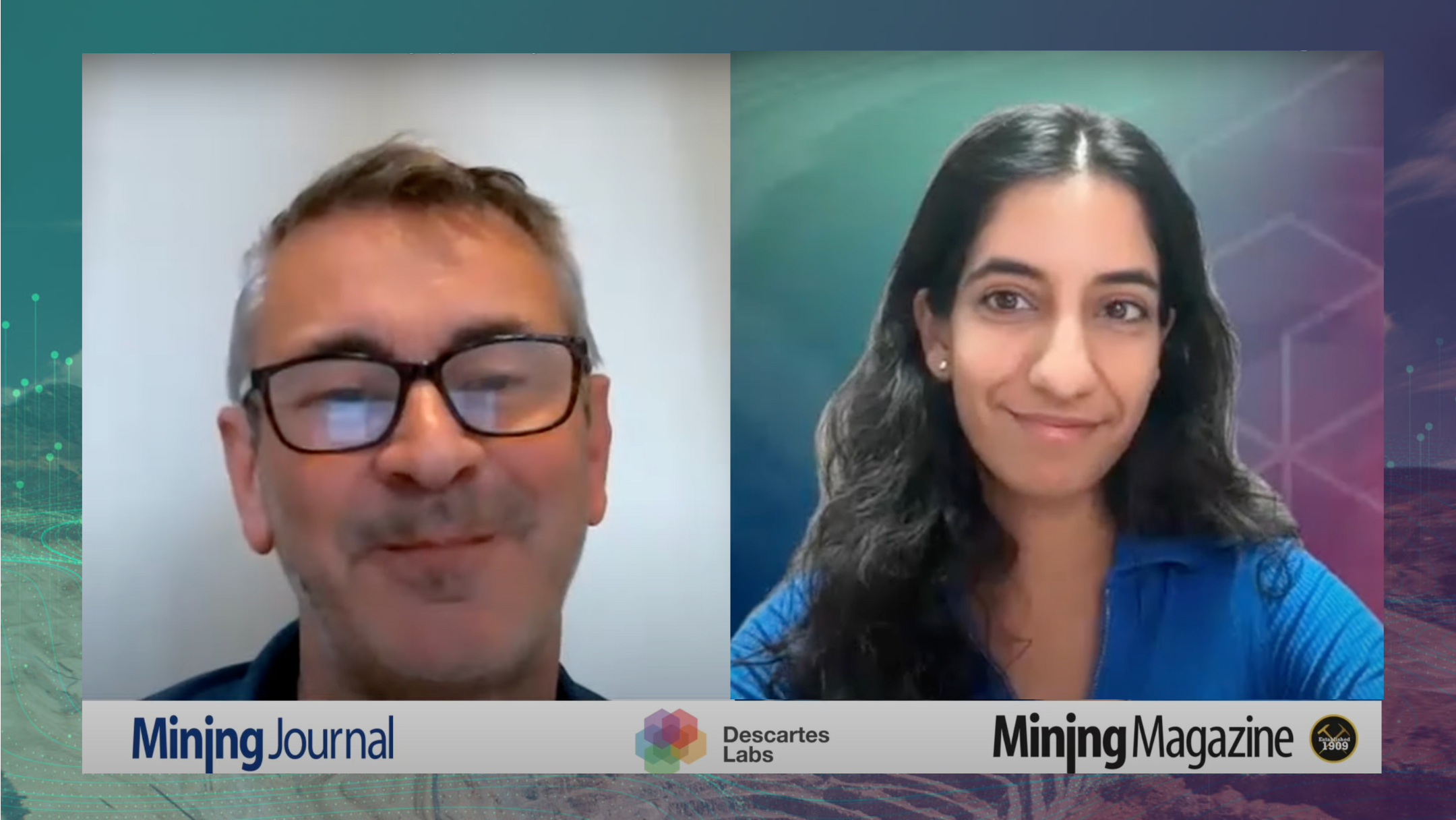
Recently our VP of Business Development, Sahiba Sachdeva, sat down with Martin Veitch of Mining Jour...
Market Insights Overview: Descartes Labs' advanced geospatial insights uses quantitative models for ...
Market Insights Overview: Descartes Labs' advanced geospatial insights uses quantitative models for ...
Market Insights Overview: Descartes Labs' advanced geospatial insights uses quantitative models for ...
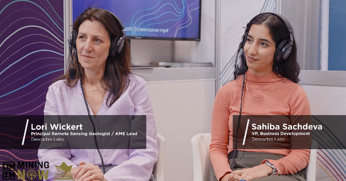
Earlier this year at PDAC 2024, our Principal Remote Sensing Geologist, Lori Wickert, and VP of Busi...
Market Insights Overview: Descartes Labs' advanced geospatial insights uses quantitative models for ...
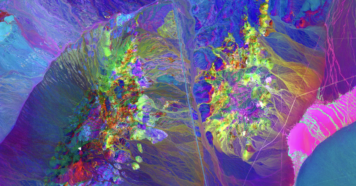
Impact on Mineral Mapping Accuracy with Increased Spatial Resolution: A Case Study of EnMAP versus S...
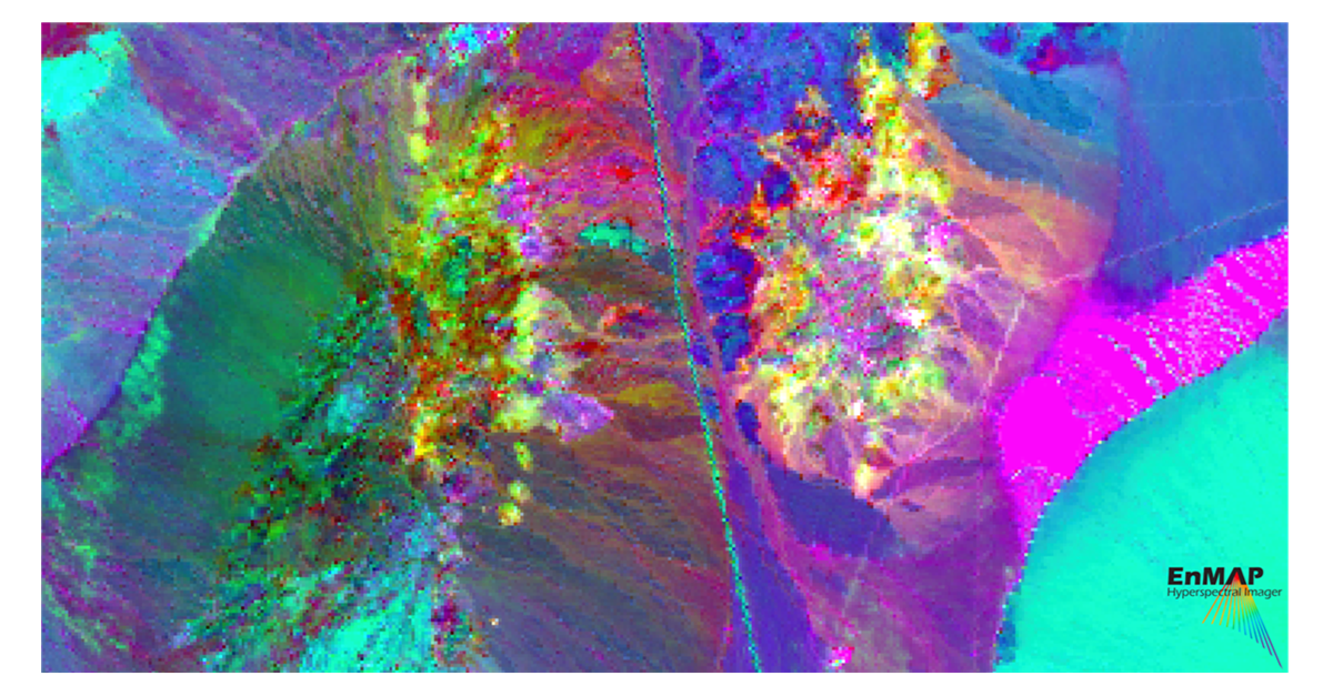
Authors: Samuel Casement, Spectral Geologist; Lori Wickert, Principal Remote Sensing Geologist
Market Insights Overview: Descartes Labs' advanced geospatial insights uses quantitative models for ...
New York, NY; May 3, 2024 - Descartes Labs and its subsidiary, Descartes Labs Government, has select...

Market Insights Overview: Descartes Labs' advanced geospatial insights uses quantitative models for ...
