EarthDaily for Agriculture
The Future of Agriculture Is Clear
Mastering the Unknown
Uncertainty. We Help You Overcome It.
Agriculture faces constant uncertainties: market volatility, unpredictable weather, supply chain disruptions, and production risks. EarthDaily for Agriculture delivers near real-time, actionable intelligence to help you:
- Commodity Traders: Track global production trends and predict market movements
- Digital Agriculture: Enhance precision farming with high-frequency crop monitoring
- Agriculture Insurers: Improve underwriting accuracy and claim assessments with data-backed insights
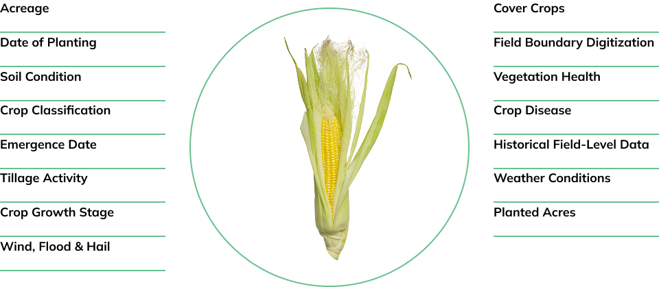
Turning Data Into Agricultural Advantage
Space Age Data and Analytics for the People Who Feed the Planet
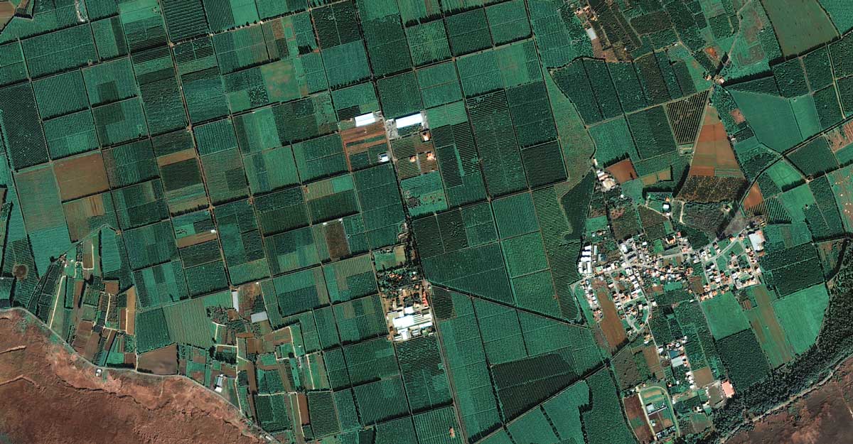
EarthDaily delivers cutting-edge geospatial analytics and AI-driven insights, empowering commodity traders, agribusinesses, food supply chains, and insurers to make data-driven decisions, mitigate risk, and drive profitability.
- Monitor crops and market trends with precision
- Forecast yields and supply chain disruptions with confidence
- Reduce risk exposure and optimize resource allocation
Explore Our Products and Solutions for Agriculture
Gain a competitive edge with the most advanced satellite-powered agricultural intelligence available.
Act on Agriculture with Timely Precision
Delivering answers to better power your decision-making processes.
In today’s fast-moving agricultural markets, access to reliable, timely insights is critical. EarthDaily delivers daily, global, AI-ready satellite data—empowering every corner of the agriculture ecosystem to make smarter, faster, and more confident decisions.
Make Every Ag Decision Smarter
De-Risk Agricultural Lending with Real-Time Field Insights
Streamline Underwriting and Claims with Satellite-Verified Data
Trade Smarter with Global Crop Intelligence
For Agribusinesses
Make Every Ag Decision Smarter
-
Support operational and strategic decisions with consistent, calibrated, and continuous Earth Observation data.
-
Monitor vegetation health with multispectral indices (NDVI, EVI, GCVI, NMDI, NDWI, and more) updated daily
-
Analyze intra-seasonal crop conditions with uninterrupted time-series, even in cloudy regions via gap-filling and fusion techniques
-
Detect early-stage anomalies like delayed emergence, drought stress, or pest pressure before ground teams can
-
Correlate environmental indicators (LST, soil moisture proxies, precipitation) with crop performance across multiple seasons
-
Integrate EarthDaily imagery into farm management platforms via API for automated alerting and benchmarking
-
For Agricultural Lenders
De-Risk Agricultural Lending with Real-Time Field Insights
Leverage remote sensing to assess risk, validate performance, and support scalable production-based lending.
-
Access 20+ years of retrospective field-level productivity data to build borrower profiles and detect yield volatility
-
Monitor in-season progress with daily field updates, enabling early risk mitigation or intervention
-
Validate planting, growth stage, and harvest timing without relying solely on farmer-reported data
-
Flag inconsistencies or potential non-compliance using time-series spectral signatures and field boundary tracking
-
Feed geo-validated insights directly into credit risk models and decision engines via secure APIs
For Crop Insurance Providers
Streamline Underwriting and Claims with Satellite-Verified Data
Replace inconsistent field reports with unbiased, high-frequency satellite analytics across policy lifecycles.
-
Confirm crop type, planting date, and phenological stage with spectral pattern recognition and classification models
-
Detect extreme weather impacts—like flood extent, drought zones, frost events, and wind damage—within 24 hours
-
Automate anomaly detection at scale using pixel-level time-series analysis and AI-driven alerts
-
Support claims adjudication with downloadable field reports, full-resolution imagery, and objective crop condition scores
-
Reduce fraud exposure by validating acreage, losses, and timing with third-party, tamper-proof data
For Commodity Traders
Trade Smarter with Global Crop Intelligence
Access early, independent, and actionable intelligence on crop production and growing conditions worldwide.
-
Track acreage and emergence at the country, region, or basin level using automated classification models
-
Monitor crop health and development through the season using calibrated indices and climatology-based comparisons
-
Forecast yield outcomes up to 30–45 days ahead of harvest using machine learning models trained on EarthDaily data
-
Benchmark growing conditions in real time against historical performance for supply-side price movement prediction
-
Reduce reliance on lagging government reports with high-frequency, satellite-driven evidence available via API or dashboard
How it Works
Turning Satellite Data Into Agricultural Intelligence
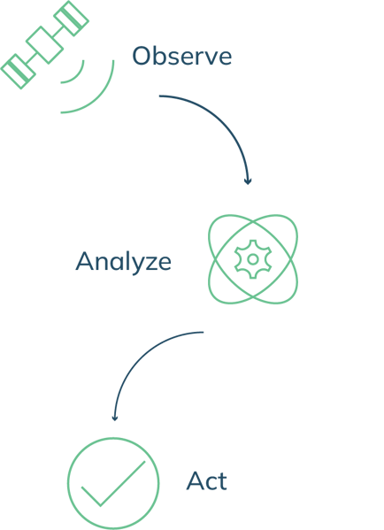
Step 1: High-Frequency Earth Observation
Our satellites capture daily, high-resolution, cloud-free imagery of the Earth’s agricultural regions.
Step 2: AI-Powered Analytics & Machine Learning
We process and analyze data using industry-leading AI models tailored for agriculture.
Step 3: Actionable Insights Delivered to You
Receive easy-to-interpret reports, risk assessments, and recommendations through our user-friendly platform or API integration.
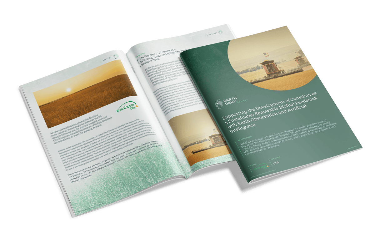
Case Study
Camelina Biofuel
Discover how Global Clean Energy and EarthDaily are using satellite intelligence and AI to unlock the potential of camelina as a scalable, sustainable biofuel feedstock.
Trusted by Industry Leaders Across Agriculture


EarthDaily Constellation: Actionable Insights for Modern Agriculture
The upcoming EarthDaily Constellation will take our agricultural offerings to the next level—delivering high-quality, analysis-ready imagery with daily global coverage. Built for AI and machine learning applications, it enables faster, more accurate insights to support critical decisions across the growing season.
