Earth Observation
Data-Driven Decisions, Powered by Space
EarthDaily’s analysis-ready data delivers clear, consistent, and error-free insights for businesses, governments, and researchers. We curate tailored data layers to provide industry-specific intelligence on the global phenomena that are most critical to your operations.
The Value of Earth Observation
Earth Observation (EO) is a super-powered set of eyes on our planet 24/7. By using satellite imagery, sensors, and other technologies we can monitor Earth's land, oceans, and atmosphere providing critical insights for understanding environmental changes, improving resource management, and driving innovation across industries.
Mitigating Climate Change:
Tracking environmental changes and assess biodiversity loss.
Supporting Disaster Response:
Early detection and monitoring of natural disasters such as wildfires, floods, and droughts.
Strengthening Food Security:
Monitoring crop health, predict yields, and optimize resource management in agriculture.
Earth Data Layers for Any Insights
We empower businesses, researchers, and governments with reliable data to make informed decisions and create meaningful solutions. Our curated data sets are designed to address critical global challenges:

Wildfire Risk, Intensity & Burn Scar Mapping
Maritime Optimized Sea Data

Water Management Forecasting

Forest Harvest Data
Air & Water Quality Data
Conflict Zone Monitoring
Flash Drought Monitoring
Infrastructure Change & Encroachment

Environmental Impact & Biodiversity
Snow & Ice Monitoring
Extreme Heat Event Data
Vegetation Health Monitoring
Wildfire Risk, Intensity & Burn Scar Mapping

Benefits
- Accurate, daily mapping of wildfire evolution
- Real-time alerts for early intervention and risk indicators like temperature & soil moisture
- Dynamic fuel inventory and mapping
The EarthDaily Difference
The EarthDaily Constellation will provide the first daily, global, high-resolution wildfire detection system.
Enabling Better Insights Across Industries
Mining | Governments | Insurance | Market Intelligence | Forestry | Data
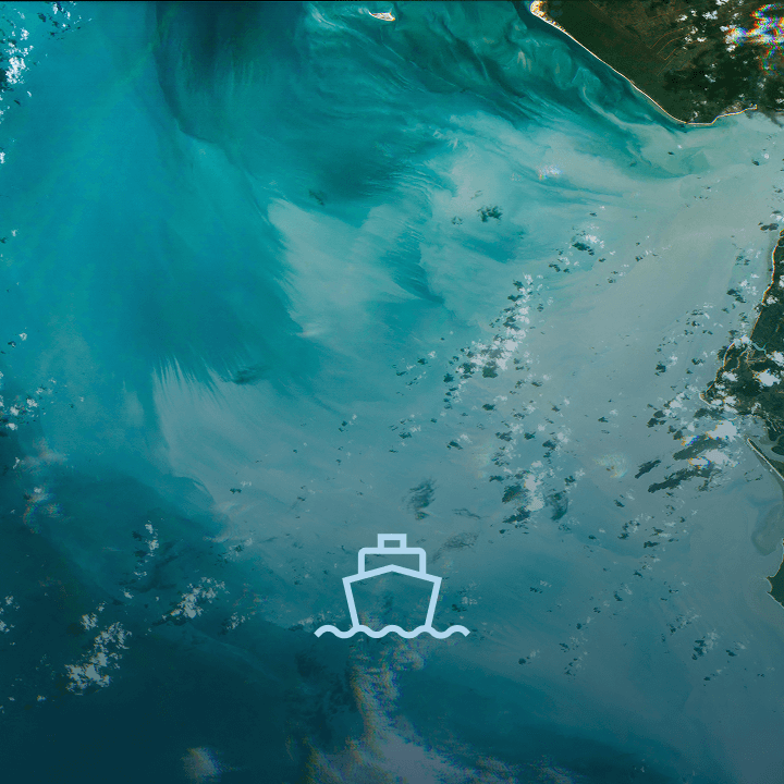
Maritime Optimized Sea Data

Benefits
- Enhanced ship classification and identification (paired with AIS).
- Timely and accurate tracking of illicit (non-AIS) maritime activities.
The EarthDaily Difference
Advanced cloud masks, spectral bands optimized for maritime monitoring, and push-broom sensor design optimized measure ship velocity.
Enabling Better Insights Across Industries
Water Management Forecasting

Enabling Better Insights Across Industries
Insurance | Agriculture | Data | Market Intelligence | Mining | Governments
Forest Harvest Data

Benefits
- Monitoring deforestation and land use changes
- Supporting conservation efforts
- Providing data for climate change and carbon tracking
The EarthDaily Difference
High-frequency updates and precise change detection capabilities with advanced cloud masking, ideal for cloudy regions like rainforest.
Enabling Better Insights Across Industries
Mining | Governments | Forestry | Data
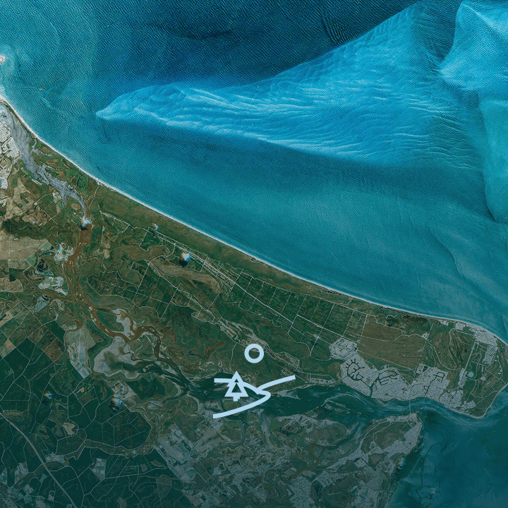
Air & Water Quality Data

Benefits
- Early detection of pollution and harmful algal blooms
- Support for marine ecosystem resource management
- Identification of major methane sources, including natural and anthropogenic.
- Support for climate change mitigation effort for both point and area sources on global scale.
- Data for regulatory compliance and policy enforcement.
- Enhanced disaster response for methane leaks and spills.
The EarthDaily Difference
Daily, global imagery with specialized bands for water quality assessment; providing a more accurate and timely picture of methane emissions compared to existing datasets
Enabling Better Insights Across Industries
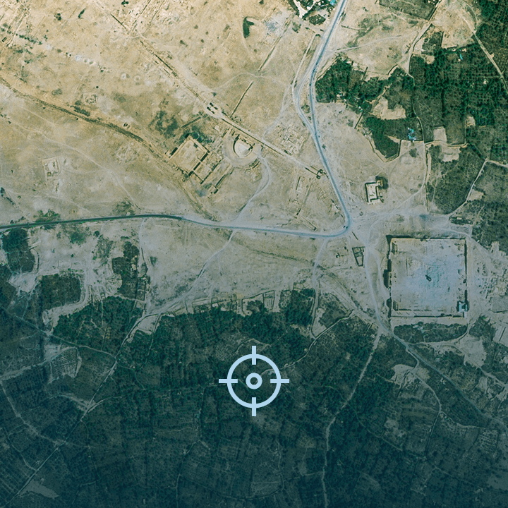
Conflict Zone Monitoring

Benefits
Assess the impact of conflicts on populations and resources, facilitating timely humanitarian responses and peacekeeping efforts.
The EarthDaily Difference
Experience a greater ability to find "the needle in the haystack" with EO data that's built for AI, meaning market-leading signal-to-noise ratios and consistent, reliable data quality.
Enabling Better Insights Across Industries
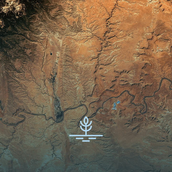
Flash Drought Monitoring

Benefits
- Accurate soil moisture and support for complex evapotranspiration measurements.
- Effective water resource management and planning.
- Enhanced drought forecasting and mitigation.
- Data-driven for agricultural and environmental policies & enforcement.
The EarthDaily Difference
Rapid update cycles and high accuracy in drought detection by combining several parameters (LST + vegetation indices + soil moisture + SWIR bands)
Enabling Better Insights Across Industries
Mining | Governments | Data | Agriculture | Insurance
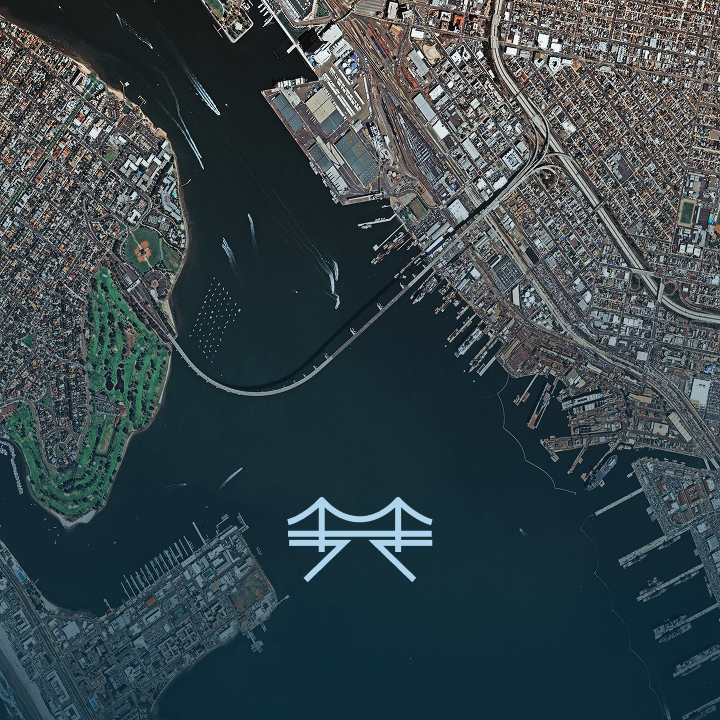
Infrastructure Change & Encroachment

Benefits
- Reliable detection of day-over-day changes for critical infrastructure.
- Enhanced asset management and infrastructure monitoring.
- Improved environmental compliance and reporting.
- High signal-to-noise ratio for precise analysis
The EarthDaily Difference
Consistent imaging (both angle + time), daily revisit and sub-pixel geolocation for robust and timely change detection.
Enabling Better Insights Across Industries
Environmental Impact & Biodiversity

Benefits
Assess the health of ecosystems to inform conservation strategies and guide corporate initiatives.
Enabling Better Insights Across Industries
Mining | Agriculture | Data | Forestry
Snow & Ice Monitoring

Benefits
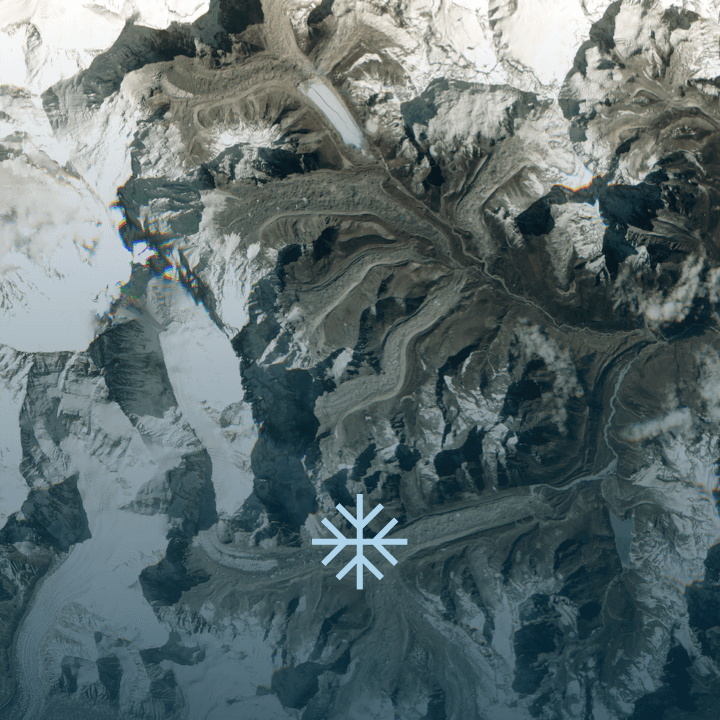
- Best-in-class, daily monitoring of snow and ice conditions
- Support for climate change research and policy
- Enhanced disaster response and preparedness for melt and water management
The EarthDaily Difference
Most accurate cloud-masking models + specialized thermal and SWIR bands, yielding best-in-class snow and ice detection on global scale.
Enabling Better Insights Across Industries
Extreme Heat Event Data

Benefits
- Support for climate modeling and weather forecasting.
- Enhanced agricultural monitoring and planning.
- Improved disaster response for heatwaves and wildfires.
- Data for urban heat island effect studies
The EarthDaily Difference
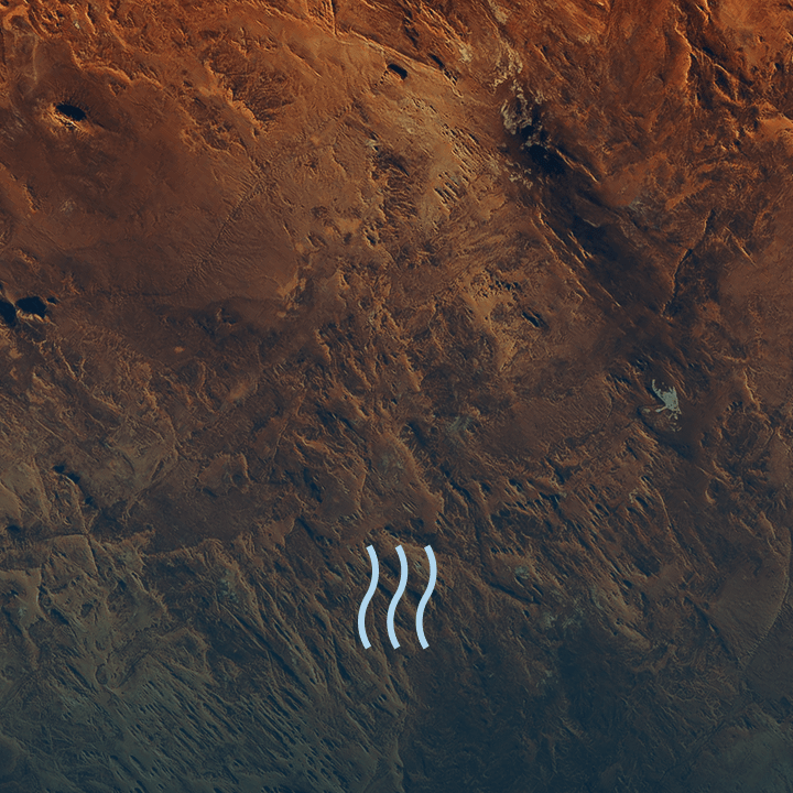
High-resolution, daily global land surface temperature data—currently unavailable from solutions on the market.
Enabling Better Insights Across Industries
Governments | Insurance | Mining | Data
Vegetation Health Monitoring

Benefits
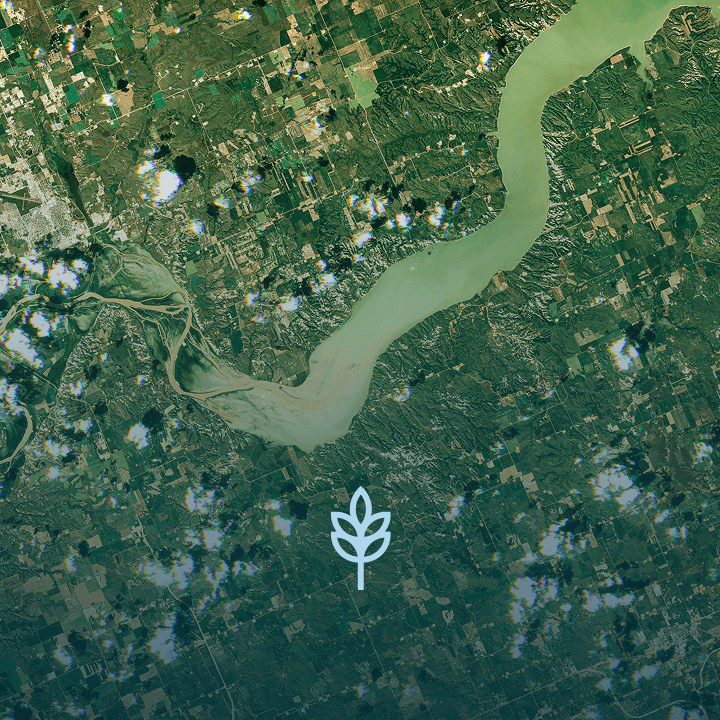
- Daily monitoring of crop health, growth and productivity.
- Early detection of agricultural risks, pests, and diseases.
- Data support for food security and agricultural policy.
The EarthDaily Difference
The EarthDaily Constellation provides daily global coverage of high-resolution vegetation indices with lowest signal-to-noise ratio in the market.
Enabling Better Insights Across Industries
Shaping the Future of Earth Observation
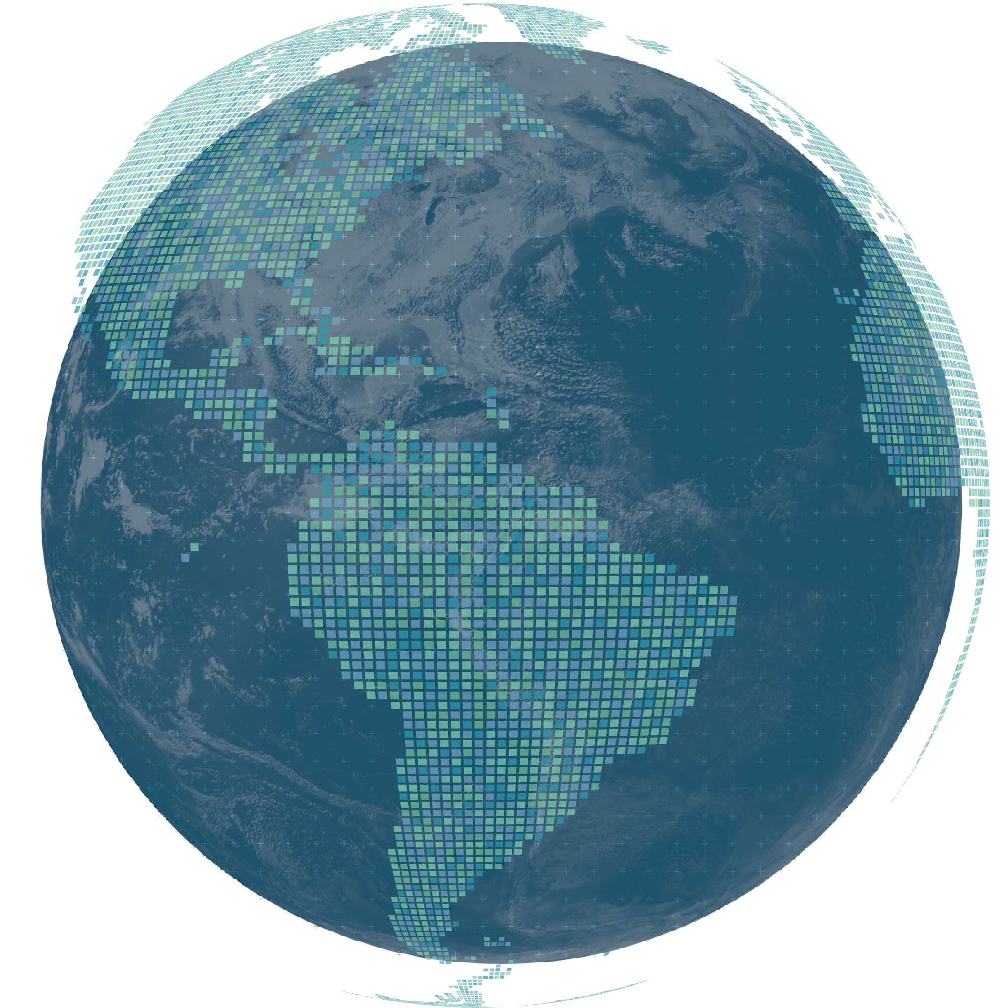
EarthDaily is at the forefront of Earth Observation, delivering AI-Ready Data (AiRD) with Global Daily Coverage, Spectral Diversity, and Scientific-Grade Accuracy. Our data supports governments and global enterprises across major industries:
- Agriculture: Optimize yields and monitor vegetation health.
- Natural Resources & Forestry: Detect illegal logging and assess environmental impacts.
- Maritime: Enhance situational awareness and monitor coastal water quality.
- Finance & Insurance: Assess climate risks and strengthen financial resilience.
- Defense & Intelligence: Monitor conflict zones and ensure border security.
A Partner You Can Trust
With a commitment to innovation and global-scale data delivery, EarthDaily helps organizations turn complex geospatial data into actionable insights.
We Ingest All Data Types
We offer a virtual constellation of Earth Observation data, designed to meet specific challenges and provide comprehensive solutions. EarthDaily Analytic’s powerful backend engineering has the ability to ingest and work with a variety of data modalities, beyond those listed below, including proprietary customer data.
The upcoming EarthDaily Constellation will provide AI-ready, daily satellite imagery from 22 spectral bands and is poised to amplify our existing products and solutions. We also partner with other data providers to provide complementary datasets and derived data products to our customers.
High-resolution, multi-spectral imagery that captures the Earth’s surface in visible and near-infrared bands. Applications:
- Vegetation Health Monitoring
- Urban Planning and Infrastructure Assessment
- Natural Disaster Detection and Recovery Support
SAR data provides radar imagery that penetrates clouds and darkness, making it ideal for consistent monitoring. Applications:
- Flood and Wetland Monitoring
- Coastal Erosion and Maritime Surveillance
- Infrastructure Change Detection
Digital Elevation Models offer 3D representations of the Earth’s surface, helping to model terrain and elevation. Applications:
- Flood Risk Assessment and Water Management
- Construction and Civil Engineering
- Environmental and Geological Research
Enhanced Accuracy: DEMs provide terrain-based analysis that helps organizations predict flood-prone areas and supports precision agriculture.
Atmospheric data captures conditions such as temperature, precipitation, and air quality, providing essential insights for climate and environmental research. Applications:
- Severe Weather Prediction and Response
- Air Quality Monitoring
- Agricultural Weather Forecasting
Future-Ready Insights: Combining weather data with other modalities leads to better situational awareness and long-term environmental planning
Trusted Data Partners
We collaborate with leading data providers, including Commercial Satellites and Scientific Government Missions, to offer comprehensive Earth Observation solutions. Our partners trust us for our EarthPipeline and EarthPlatform, which provide secure data access and processing capabilities at scale.
Let EarthDaily Power Your Insights
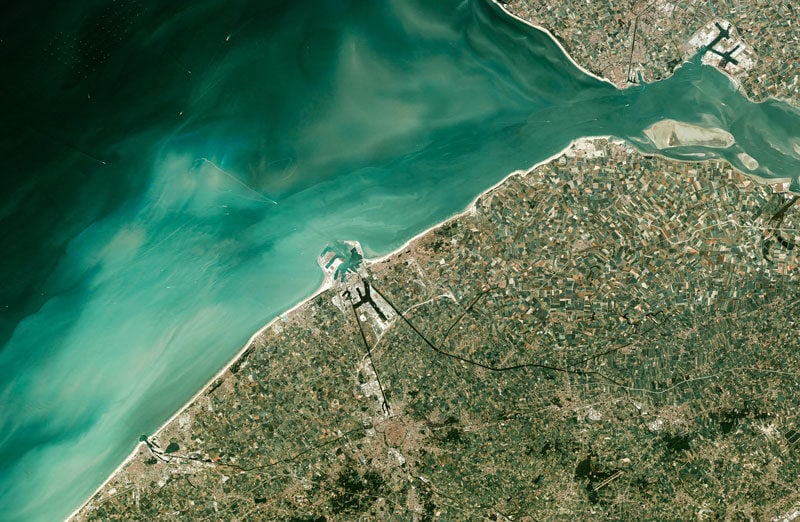
With EarthDaily’s Analysis Ready Data and diverse data modalities, you’ll gain clear, consistent, and actionable insights to drive your organization forward. Your operations have an intrinsic connection to what's happening on the Earth— ready to transform your understanding of the world?