EarthDaily for Agriculture

The Future of Agriculture Is Clear

Make smarter decisions across the agricultural value chain—whether you’re managing risk, optimizing yield, financing farmers, or trading markets.

Mastering the Unknown

Uncertainty. We Help You Overcome It.

Agriculture faces constant uncertainties: market volatility, unpredictable weather, supply chain disruptions, and production risks. EarthDaily for Agriculture delivers near real-time, actionable intelligence to help you:

  • Commodity Traders: Track global production trends and predict market movements
  • Digital Agriculture: Enhance precision farming with high-frequency crop monitoring
  • Agriculture Insurers: Improve underwriting accuracy and claim assessments with data-backed insights
earthdaily-agriculture-fields
agriculture-earth-observation-insights-infographic
360-Degree Crop Health Analytics for Holistic Insights

Turning Data Into Agricultural Advantage

Space Age Data and Analytics for the People Who Feed the Planet

EarthDaily delivers cutting-edge geospatial analytics and AI-driven insights, empowering commodity traders, agribusinesses, food supply chains, and insurers to make data-driven decisions, mitigate risk, and drive profitability.

  • Monitor crops and market trends with precision
  • Forecast yields and supply chain disruptions with confidence
  • Reduce risk exposure and optimize resource allocation


Explore Our Products and Solutions for Agriculture

Gain a competitive edge with the most advanced satellite-powered agricultural intelligence available.

Act on Agriculture with Timely Precision

Delivering answers to better power your decision-making processes.

In today’s fast-moving agricultural markets, access to reliable, timely insights is critical. EarthDaily delivers daily, global, AI-ready satellite data—empowering every corner of the agriculture ecosystem to make smarter, faster, and more confident decisions.


For Agribusinesses

Make Every Ag Decision Smarter

Leverage real-time intelligence to stay ahead of the season and respond quickly to change.
More Information
For Agricultural Lenders

De-Risk Agricultural Lending with Real-Time Field Insights

Build confidence in your loan portfolio with remote monitoring and production-based data.
More Information
For Crop Insurance Providers

Streamline Underwriting and Claims with Satellite-Verified Data

Use continuous, unbiased monitoring to improve efficiency and reduce exposure.
More Information
For Commodity Traders

Trade Smarter with Global Crop Intelligence

Get ahead of the market with production forecasts and timely crop insights.
More Information
  • Support operational and strategic decisions with consistent, calibrated, and continuous Earth Observation data.

    • Monitor vegetation health with multispectral indices (NDVI, EVI, GCVI, NMDI, NDWI, and more) updated daily

    • Analyze intra-seasonal crop conditions with uninterrupted time-series, even in cloudy regions via gap-filling and fusion techniques

    • Detect early-stage anomalies like delayed emergence, drought stress, or pest pressure before ground teams can

    • Correlate environmental indicators (LST, soil moisture proxies, precipitation) with crop performance across multiple seasons

    • Integrate EarthDaily imagery into farm management platforms via API for automated alerting and benchmarking

Leverage remote sensing to assess risk, validate performance, and support scalable production-based lending.

  • Access 20+ years of retrospective field-level productivity data to build borrower profiles and detect yield volatility

  • Monitor in-season progress with daily field updates, enabling early risk mitigation or intervention

  • Validate planting, growth stage, and harvest timing without relying solely on farmer-reported data

  • Flag inconsistencies or potential non-compliance using time-series spectral signatures and field boundary tracking

  • Feed geo-validated insights directly into credit risk models and decision engines via secure APIs

Replace inconsistent field reports with unbiased, high-frequency satellite analytics across policy lifecycles.

  • Confirm crop type, planting date, and phenological stage with spectral pattern recognition and classification models

  • Detect extreme weather impacts—like flood extent, drought zones, frost events, and wind damage—within 24 hours

  • Automate anomaly detection at scale using pixel-level time-series analysis and AI-driven alerts

  • Support claims adjudication with downloadable field reports, full-resolution imagery, and objective crop condition scores

  • Reduce fraud exposure by validating acreage, losses, and timing with third-party, tamper-proof data

Access early, independent, and actionable intelligence on crop production and growing conditions worldwide.

  • Track acreage and emergence at the country, region, or basin level using automated classification models

  • Monitor crop health and development through the season using calibrated indices and climatology-based comparisons

  • Forecast yield outcomes up to 30–45 days ahead of harvest using machine learning models trained on EarthDaily data

  • Benchmark growing conditions in real time against historical performance for supply-side price movement prediction

  • Reduce reliance on lagging government reports with high-frequency, satellite-driven evidence available via API or dashboard

How it Works

Turning Satellite Data Into Agricultural Intelligence

Step 1: High-Frequency Earth Observation

Our satellites capture daily, high-resolution, cloud-free imagery of the Earth’s agricultural regions.

Step 2: AI-Powered Analytics & Machine Learning

We process and analyze data using industry-leading AI models tailored for agriculture.

Step 3: Actionable Insights Delivered to You

Receive easy-to-interpret reports, risk assessments, and recommendations through our user-friendly platform or API integration.


agrictulure-how-it0works
001-3-4

Case Study

Camelina Biofuel

Discover how Global Clean Energy and EarthDaily are using satellite intelligence and AI to unlock the potential of camelina as a scalable, sustainable biofuel feedstock.

Trusted by Industry Leaders Across Agriculture

MAPFRE
TokioMarine
GrainCorp
ASR
Cargill
Mercer
DRW

EarthDaily Constellation: Actionable Insights for Modern Agriculture

The upcoming EarthDaily Constellation will take our agricultural offerings to the next level—delivering high-quality, analysis-ready imagery with daily global coverage. Built for AI and machine learning applications, it enables faster, more accurate insights to support critical decisions across the growing season.

Environmental-Impact-EarthDaily-Data-Layer
Vegetative Encroachment
Vegetation-EarthDaily-Data-Layer
Infrastructure Monitoring
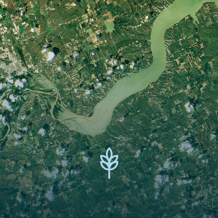
Water-Managment-EarthDaily-Data-Layer
Water Management

Flash-Drought-EarthDaily-Data-Layer
Flash Drought
Extreme-Heat-EarthDaily-Data-Layer
Extreme Heat
Wildfire-EarthDaily-Data-Layer
Wildfire

Ready to Turn Uncertainty Into Your Advantage?

Whether you're financing farms, managing risk, forecasting yields, or trading commodities—EarthDaily delivers the daily, science-grade intelligence you need to move with confidence.

Discover how our AI-ready satellite data can elevate your strategy.