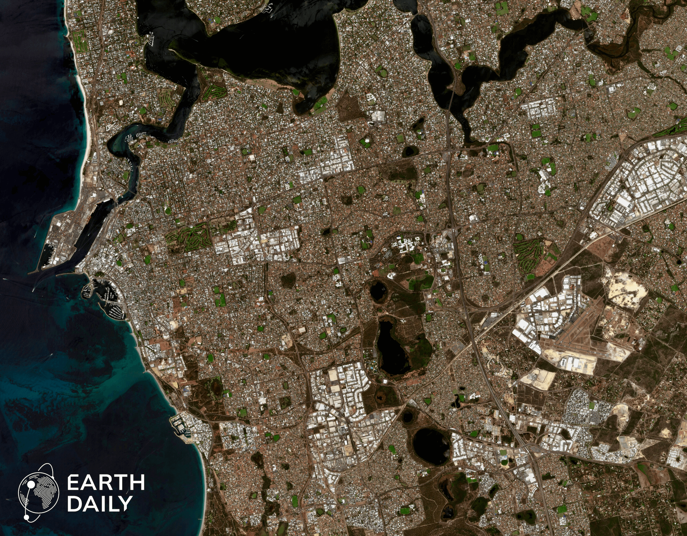
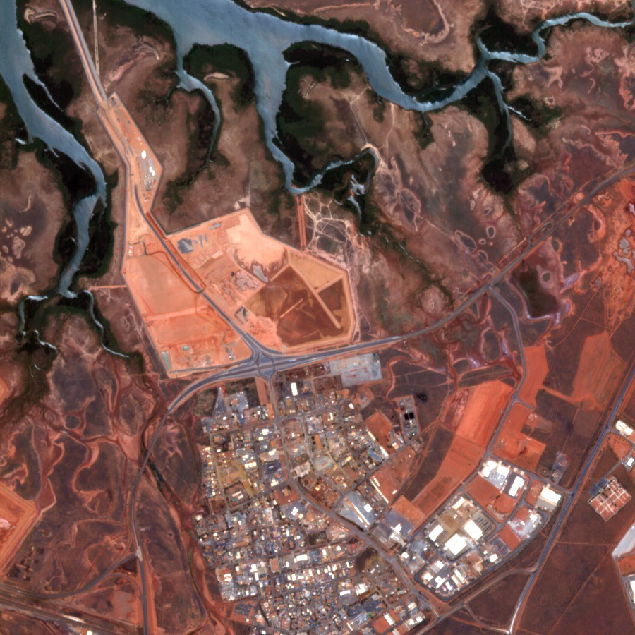
EarthDaily for Mining:
Geospatial Intelligence for the Mining Industry
Accelerate exploration, monitor infrastructure and resource risk, track reclamation efforts, and manage stakeholders with industry-leading remote sensing technology.

A responsible future depends on mining.
EarthDaily’s mining intelligence solutions deliver
value across key lifecycle segments:
Accelerate exploration and resource discovery
Enhance operational decision-making and resource planning
Support mine closure and reclamation with remote sensing insights
EarthDaily for Mining Products
Innovative Technology to Drive Mining into the Future
Geospatial Intelligence for the Entire Mining Lifecycle. By combining Earth Observation (EO) and remote sensing data, with AI-driven analytics, and all the tools needed to expedite their workflows, mining companies can gain unprecedented insights into every stage of the mining process.
Mining’s Complex, High-Risk Landscape
Mining companies operate in increasingly complex environments where efficiency, safety, and sustainability are critical. Traditional exploration and monitoring methods rely on costly field surveys and outdated modeling techniques, leading to inefficiencies, regulatory setbacks, and missed opportunities for resource discovery and operational improvements.

Featured Case Study:
Copper Porphyry Exploration
Discover how East Star Resources revolutionized its copper exploration strategy in Kazakhstan’s vast Balkhash-Ili volcanic arc with Marigold’s cutting-edge remote sensing and data analytics.

Integrated remote sensing and geochemistry confirmed mineralized targets
Significantly accelerated exploration workflow and improved field planning efficiency
Silica lithocaps clearly visible via ASTER Bare Earth Composite imagery
Reduced target-identification time from months to hours
Groundbreaking Technology
for the Mining Lifecycle
Start accelerating your geospatial workflows and integrate the best data to improve exploration timelines and optimize ground deformation monitoring.