EarthDaily for Mining
Mining Intelligence at Your Fingertips – From Exploration to Reclamation
Transform Your Mining Operations with Geospatial Intelligence and Advanced Analytics
Mining’s Complex, High-Risk Landscape
Mining companies operate in increasingly complex environments where efficiency, safety, and sustainability are critical. Traditional exploration and monitoring methods rely on costly field surveys and outdated modeling techniques, leading to inefficiencies, regulatory setbacks, and missed opportunities for resource discovery and operational improvements.

Science for Exploration to Restoration
Geospatial Intelligence for the Entire Mining Lifecycle
By combining Earth Observation (EO) and remote sensing data, with AI-driven analytics, and all the tools needed to expedite their workflows, mining companies can gain unprecedented insights into every stage of the mining process. From identifying mineral deposits to monitoring mine site stability and environmental impact, these solutions enable data-driven decision-making that enhance productivity and reduces risk.
Explore Our Products and Solutions for the Mining Industry
Learn how Marigold, our mineral exploration toolkit, accelerates deposit discovery and Iris enhances mine safety through continuous InSAR monitoring.
Our Mining Products
Innovative Technology to Drive Mining into the Future
By combining Earth Observation (EO) and remote sensing data, with AI-driven analytics, and all the tools needed to expedite their workflows, mining companies can gain unprecedented insights into every stage of the mining process. From identifying mineral deposits to monitoring mine site stability and environmental impact, these solutions enable data-driven decision-making that enhance productivity and reduces risk.

Marigold

Iris

Closure Monitoring
Exploration
Marigold

Reduce Time and Costs in Identifying Viable Deposits
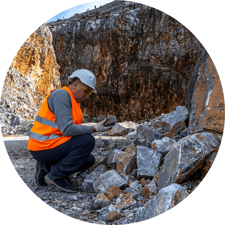
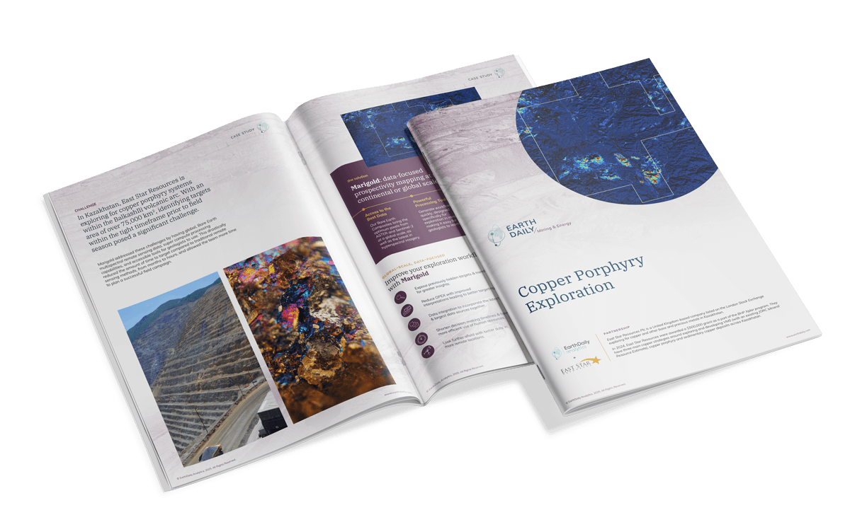
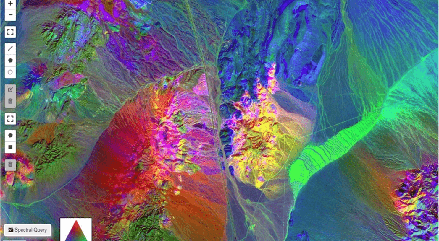
Traditional exploration methods rely heavily on ground surveys and drill testing, which can be both expensive and time-consuming. Advanced spectral analysis and AI-driven models now allow mining companies to quickly and accurately assess potential mineral deposits using remotely sensed data.
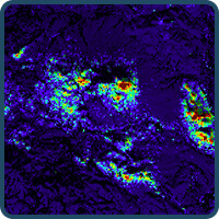
- An AI-powered mineral targeting system that processes hyperspectral, multispectral, and synthetic aperture radar (SAR) satellite data to identify mineral signatures and predict deposit locations.
- Advanced hyperspectral processing capabilities increase exploration granularity, enabling geologists to see right down to the individual mineral species
Incorporates machine learning models trained on geological datasets, optimizing exploration targeting and prioritization.
Safety
Iris

Continuous Surveillance for Risk Mitigation
Geotechnical risks such as tailings dam failures, land subsidence, and slope instability pose significant threats to mine operations and surrounding communities. Leveraging remote sensing and AI, real-time monitoring solutions can provide early warning signals and actionable insights to improve mine site safety.
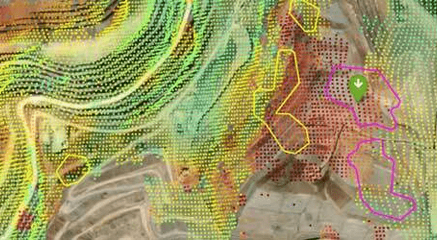
- Iris: A geospatial AI solution designed for real-time mine safety and infrastructure monitoring.
- Detects ground deformation, structural shifts, and tailings dam stability risks using InSAR (Interferometric Synthetic Aperture Radar) and LiDAR-based models.
- Integrates with operational data to enable automated risk scoring and compliance tracking.
- Supports regulatory reporting and predictive maintenance by analyzing geospatial and environmental data.
Restoration
Closure Monitoring

Real-Time Monitoring and Compliance
Sustainability is a growing priority for the mining industry, with companies facing increasing pressure to minimize their environmental impact and improve transparency. Leveraging remote sensing and advanced analytics, mining operations can now monitor their ecological footprint with precision.
- Uses optical and SAR satellite data to track land use changes, vegetation health, and water resource depletion.
- Provides carbon footprint modeling by integrating emission tracking data with operational metrics.

Case Study
Çöpler Mine
This in-depth case study delivers a retroactive look at the Çöpler Mine disaster using remote InSAR monitoring. See how Iris detects movement before failure and helps safeguard future mine sites.
Time lapse of mining operations, as captured by Sentinel-2 between 2015 and 2019.
Why Advanced Geospatial Intelligence for Mining?
-
AI-Driven Decision Making – Tailored workflows combined with data layers curated for mining enable companies to optimize mineral exploration, safety, and sustainability.
-
Proven Solutions for Mining Leaders – Trusted by global mining companies, research institutions, and government agencies.
-
Scalable & Customizable – AI and physics-based models tailored to specific mining needs and operational challenges.
- Continuous Monitoring – Satellite and geospatial intelligence provide near-real-time visibility into mining operations worldwide.
EarthDaily Constellation:
Supercharging EO Capabilities for Mining
The upcoming EarthDaily Constellation will enhance our current offerings for our mining customers. The spectral range of the constellation will power more in-depth insights for mine operations and closures, specifically for pond water monitoring, vegetative encroachment, and soil moisture.
EarthDaily also partners with other data providers to power our virtual constellation of complementary datasets. The mining industry specifically benefits from Digital Elevation Models (DEMs), which allow users to draw more insights from their analyses, and Synthetic Aperture Radar (SAR), the driving force behind Iris, our ground deformation software.
Groundbreaking Technology for the Mining Lifecycle
Start accelerating your geospatial workflows and integrate the best data to improve exploration timelines and optimize ground deformation monitoring.