Data & Imagery
Platform & Processing
Vertical Market Solutions
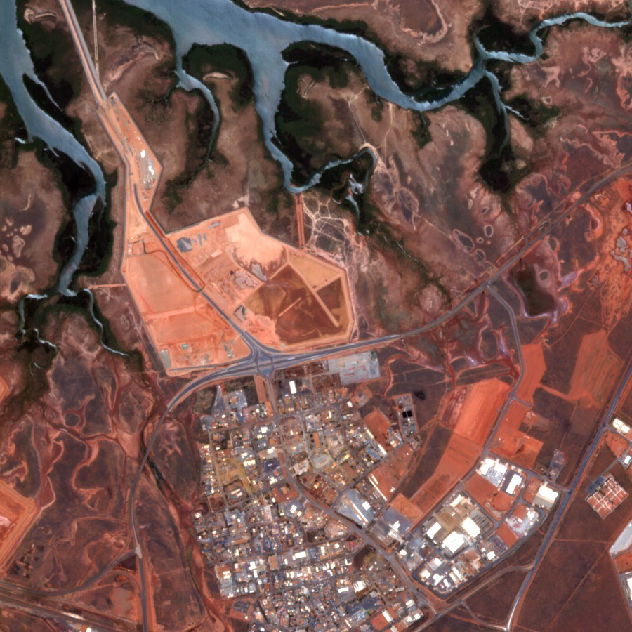
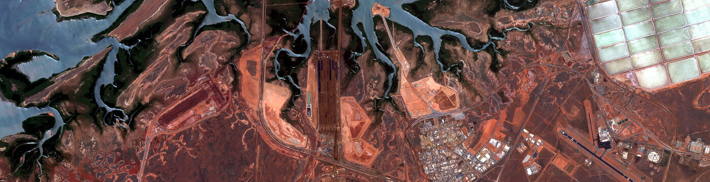
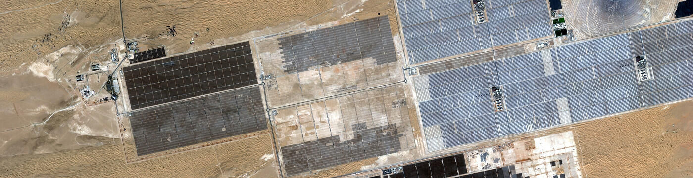
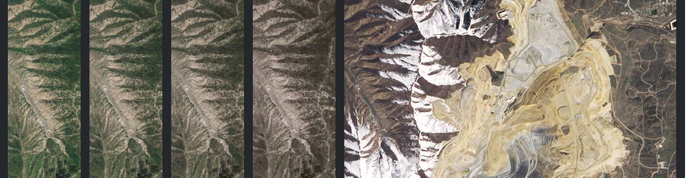
Agriculture Forestry Insurance Logistics Mining & Energy
Agriculture
Defence & Intelligence
Insurance
Mining
Technical Resources
Articles by Industry
Insights & Updates