.jpg?width=289&height=168&name=Data%20Use%20cases%20(1).jpg)
Geospatial analytics helps Brazilian insurer take proactive steps to reduce the cost of claims with ...
Alimentar o mundo de forma sustentável exige imensas quantidades de capital – para cultivar alimento...
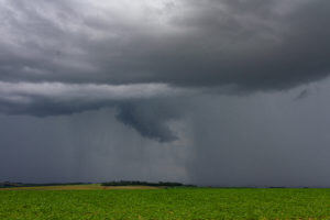
A leading French agricultural insurer harnesses powerful weather and climate data from EarthDaily Ag...
Remote satellite imaging and analytics gives bankers advanced tools for monitoring crops throughout ...

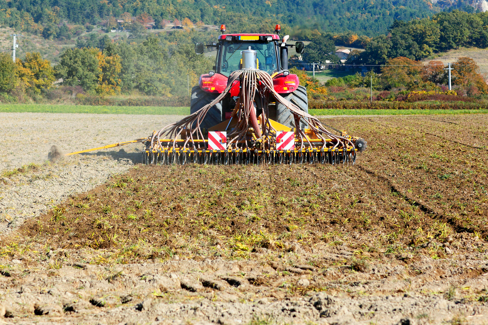
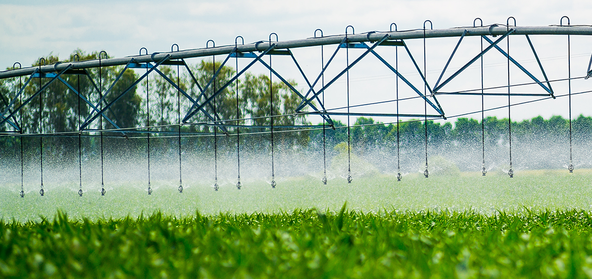
Today’s farm operations are becoming bigger and bigger — but while farmers are farming more land, th...
Agtech innovation has made today’s industry more sophisticated than ever. But with sophistication co...
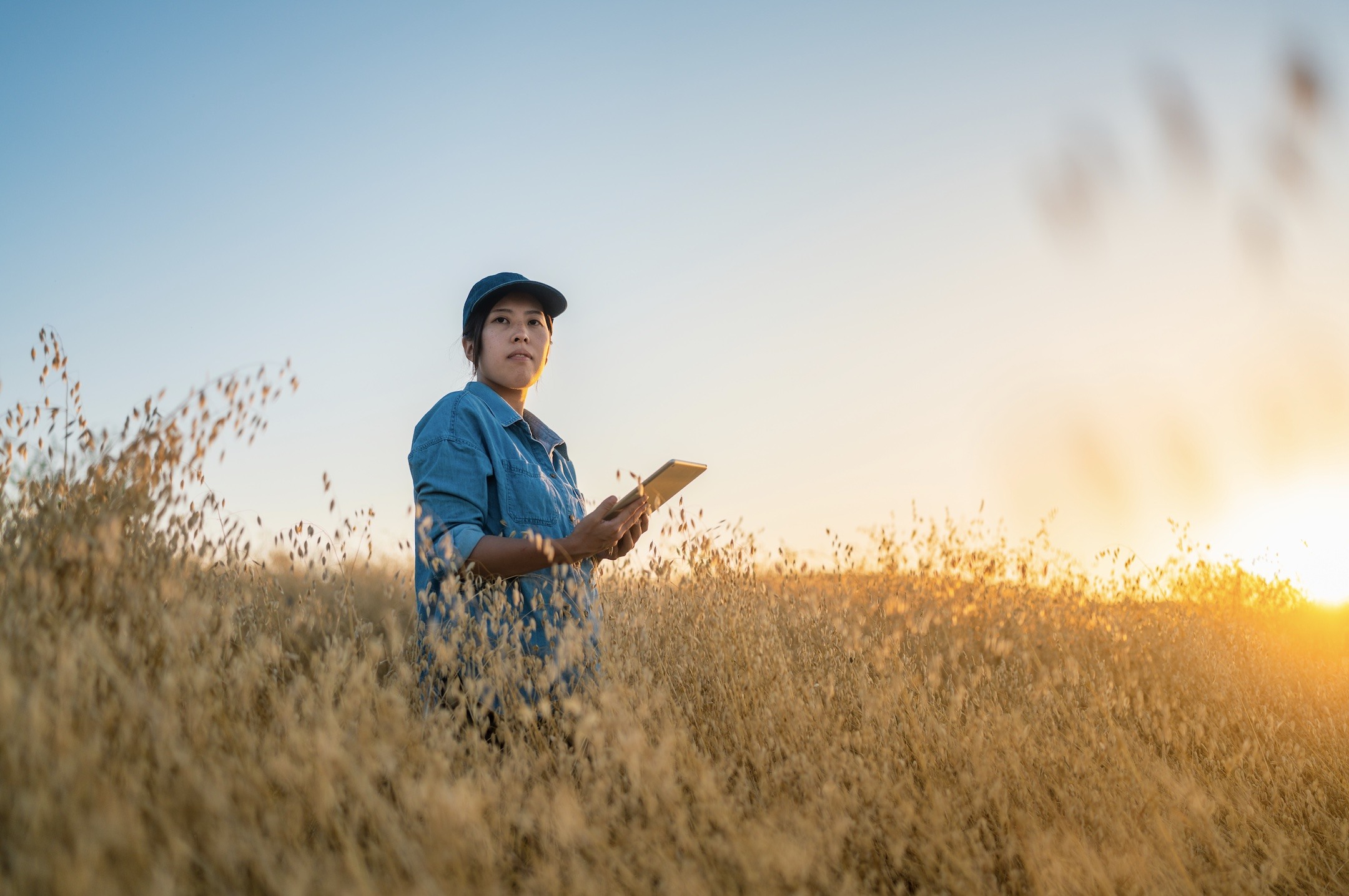
EarthDaily Agro Customers Share How Earth Observation Benefits Their Businesses Coinciding with its ...