.jpg?width=289&height=168&name=Data%20Use%20cases%20(1).jpg)
Market Insights Overview: Descartes Labs' advanced geospatial insights uses quantitative models for ...
Market Insights Overview: Descartes Labs' advanced geospatial insights uses quantitative models for ...
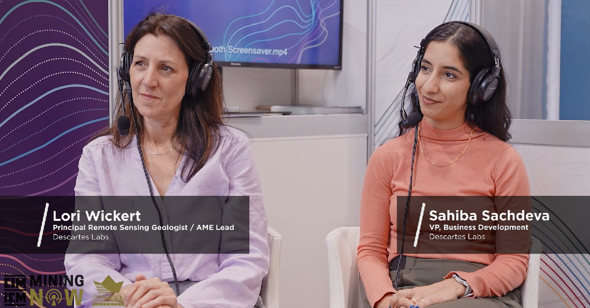
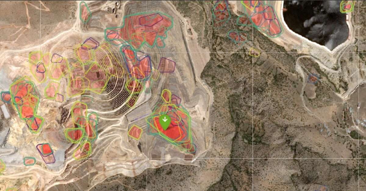
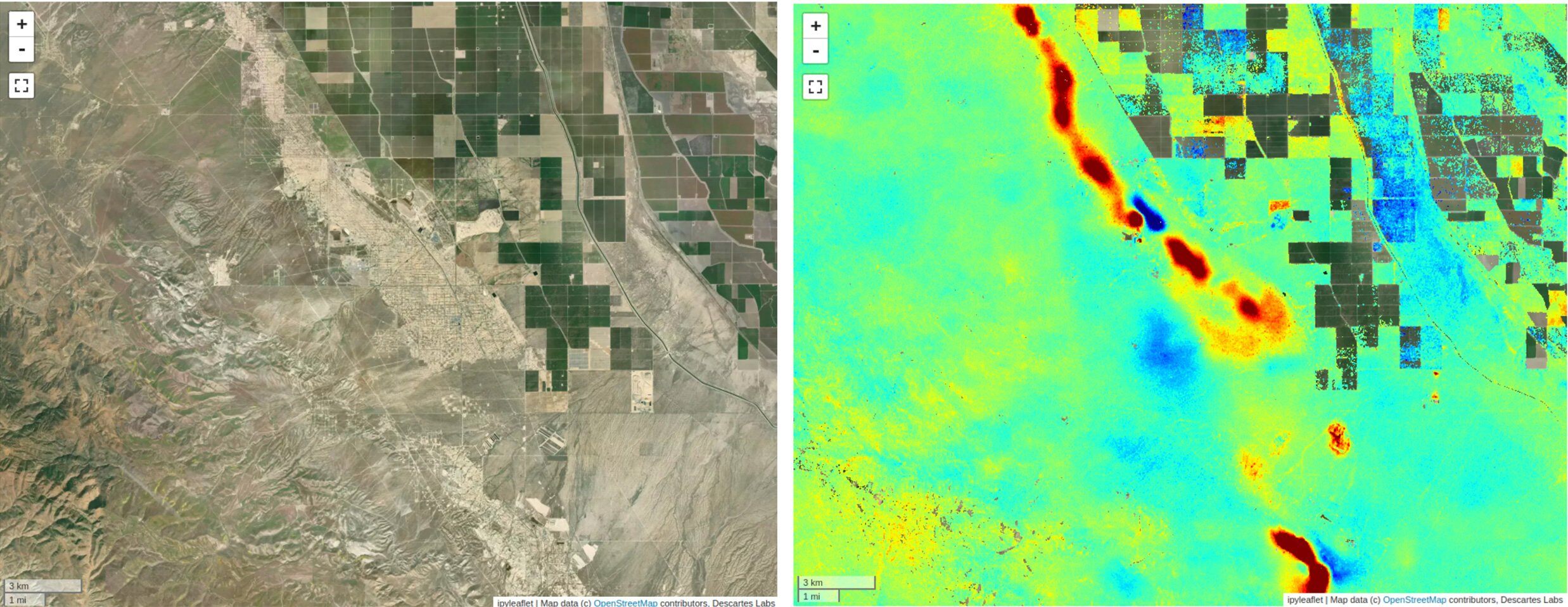
Earlier this year at PDAC 2024, our Principal Remote Sensing Geologist, Lori Wickert, and VP of Busi...
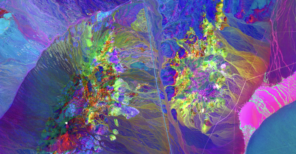
Impact on Mineral Mapping Accuracy with Increased Spatial Resolution: A Case Study of EnMAP versus S...
Market Insights Overview: Descartes Labs' advanced geospatial insights uses quantitative models for ...

Market Insights Overview: Descartes Labs' advanced geospatial insights uses quantitative models for ...
BUSINESSWIRE New York, NY; April 30, 2024 - Descartes Labs, a US based technology company, has won t...
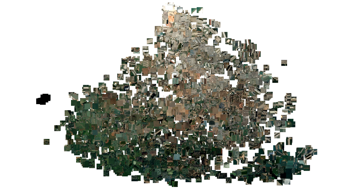
Computer vision (CV) algorithms are used to process data with two dimensional structure (spatial) an...
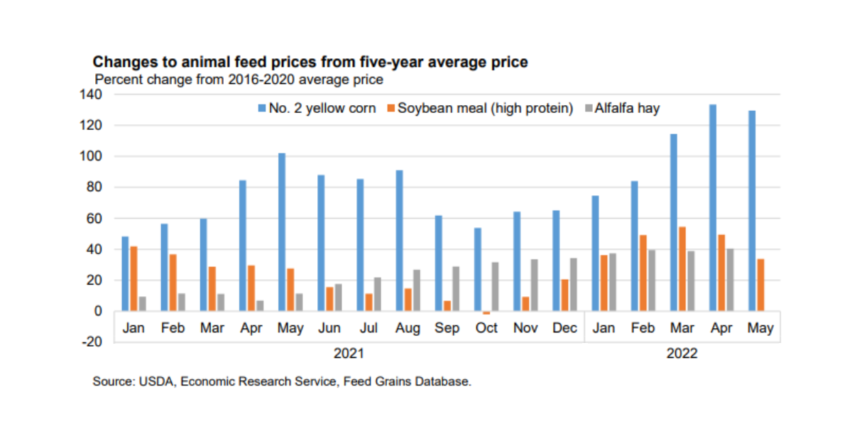
As can be seen on the chart above published by the USDA earlier in 2022, cost of soybean-meal feed w...

2022 has been a difficult year for vegetable oils supply availability worldwide. We have seen declin...
Welcome to the first post in a technical series highlighting the capabilities at Descartes Labs (DL)...

Zoomed out view of mill-level carbon scores. Lower scores mean less nearby deforested area and estim...