.jpg?width=289&height=168&name=Data%20Use%20cases%20(1).jpg)
Tackling the Pressing Challenge of Deforestation to Help Build a More Sustainable Future Terry Cunni...
Tackling the Pressing Challenge of Deforestation to Help Build a More Sustainable Future Terry Cunni...
Several bins of varied winter vegetation cover are defined using NDVI thresholds in Pennsylvania Des...
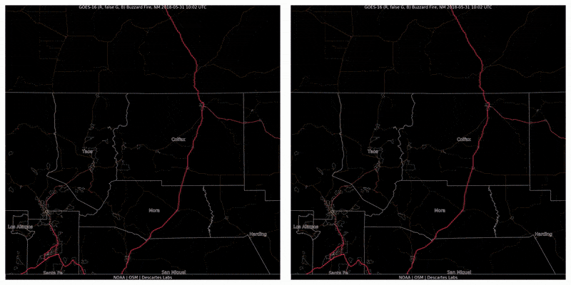
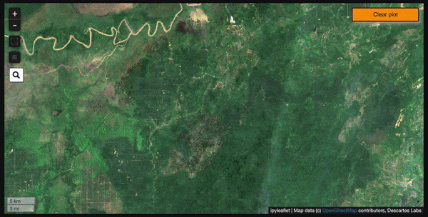
The State Forestry Department will use our automated detector during the 2020 wildfire season In 201...
Descartes Labs has built an operational wildfire detector using satellite imagery which enabled the ...
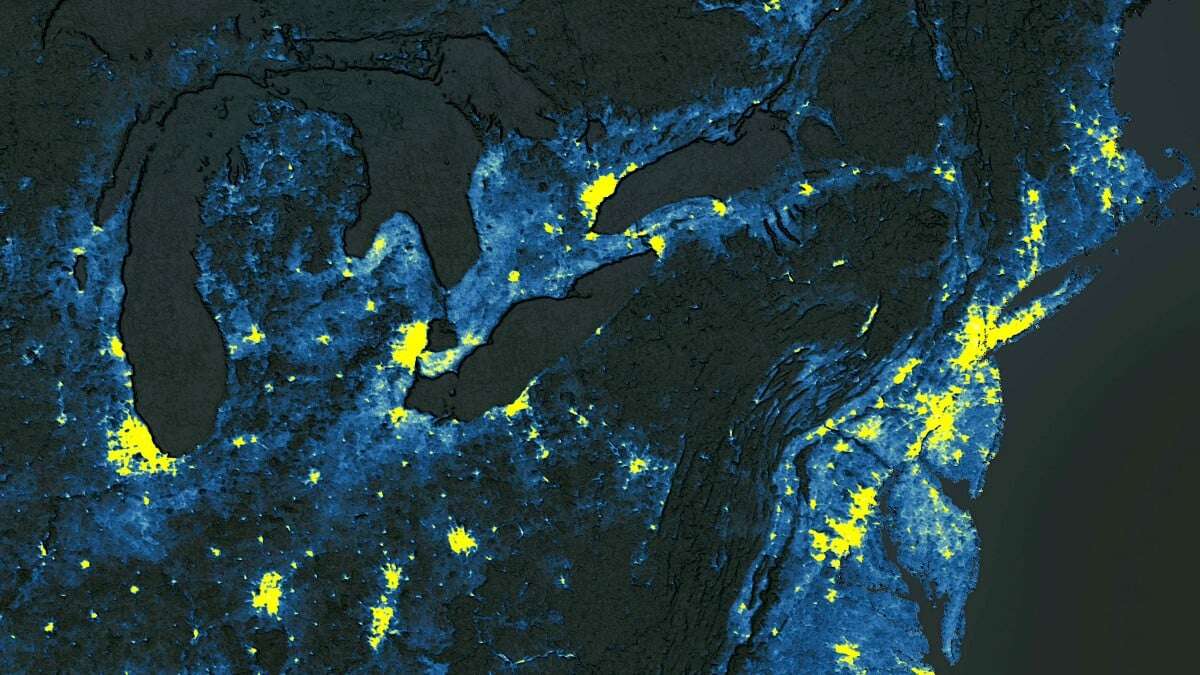
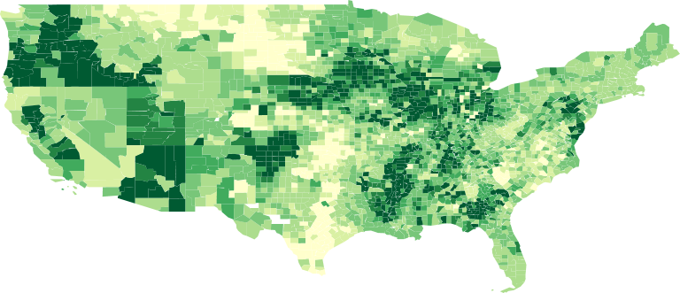
The Descartes Labs Platform supercharges the development of an urban heat island layer across 14,000...
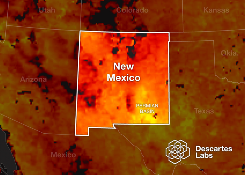
Today we’re excited to announce that Descartes Labs will create mapping and modeling capabilities to...
Descartes Labs aims to improve science around the world with free Platform API access for individual...
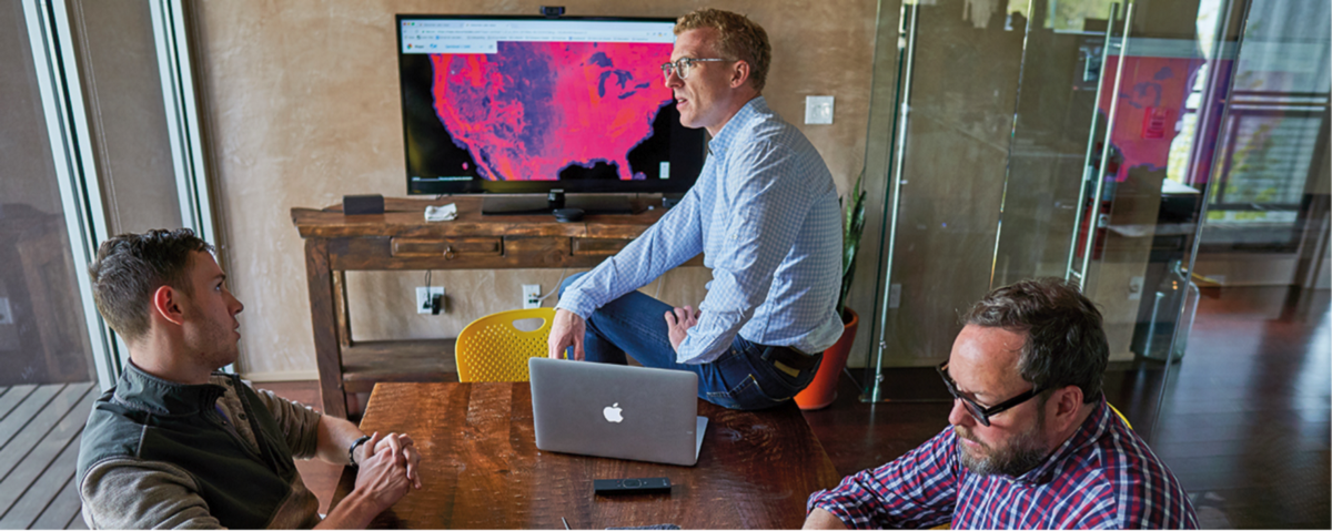
As Descartes Labs grows rapidly, we’re constantly adding to the executive team to support our contin...
At Descartes Labs, we got our start modeling agricultural yields using data from satellites. Along t...
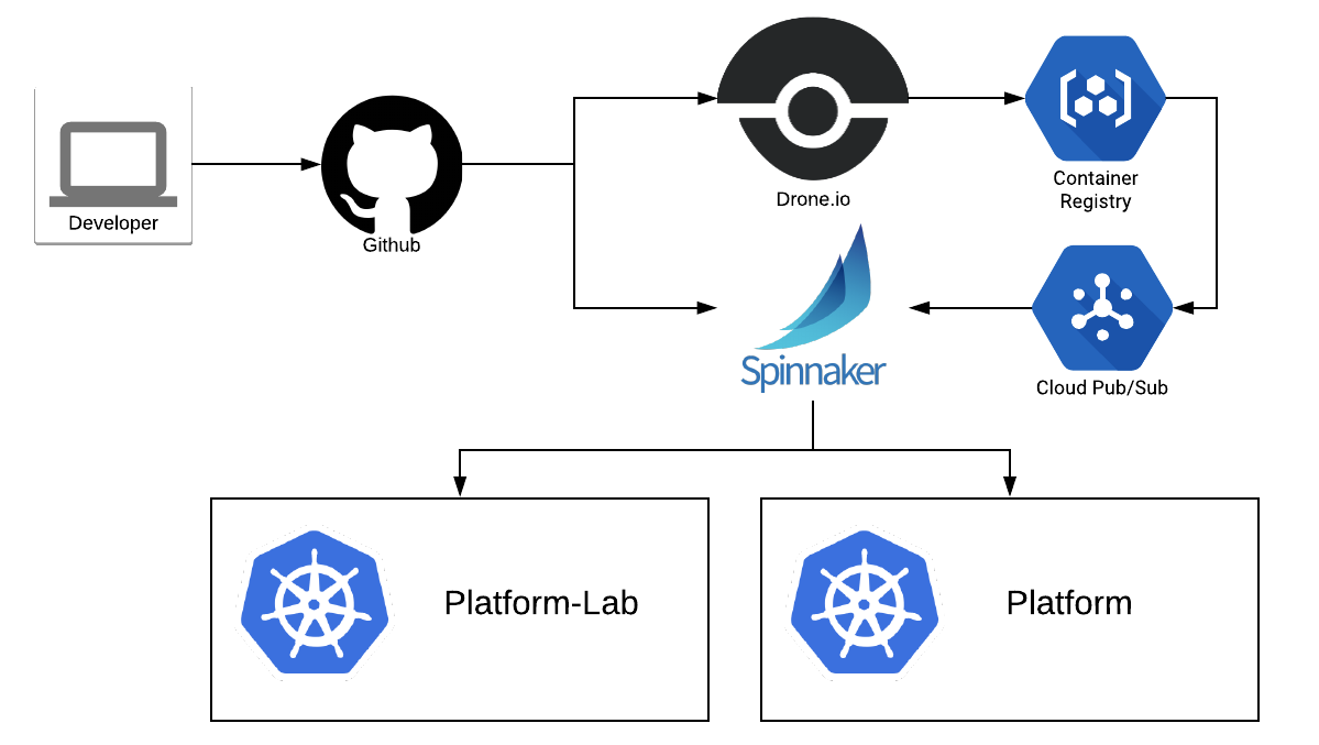
Deployment Pipelines for a Descartes Labs Service At Descartes Labs we’ve been using Spinnaker to de...
(This article has been reposted from www.cargill.com)
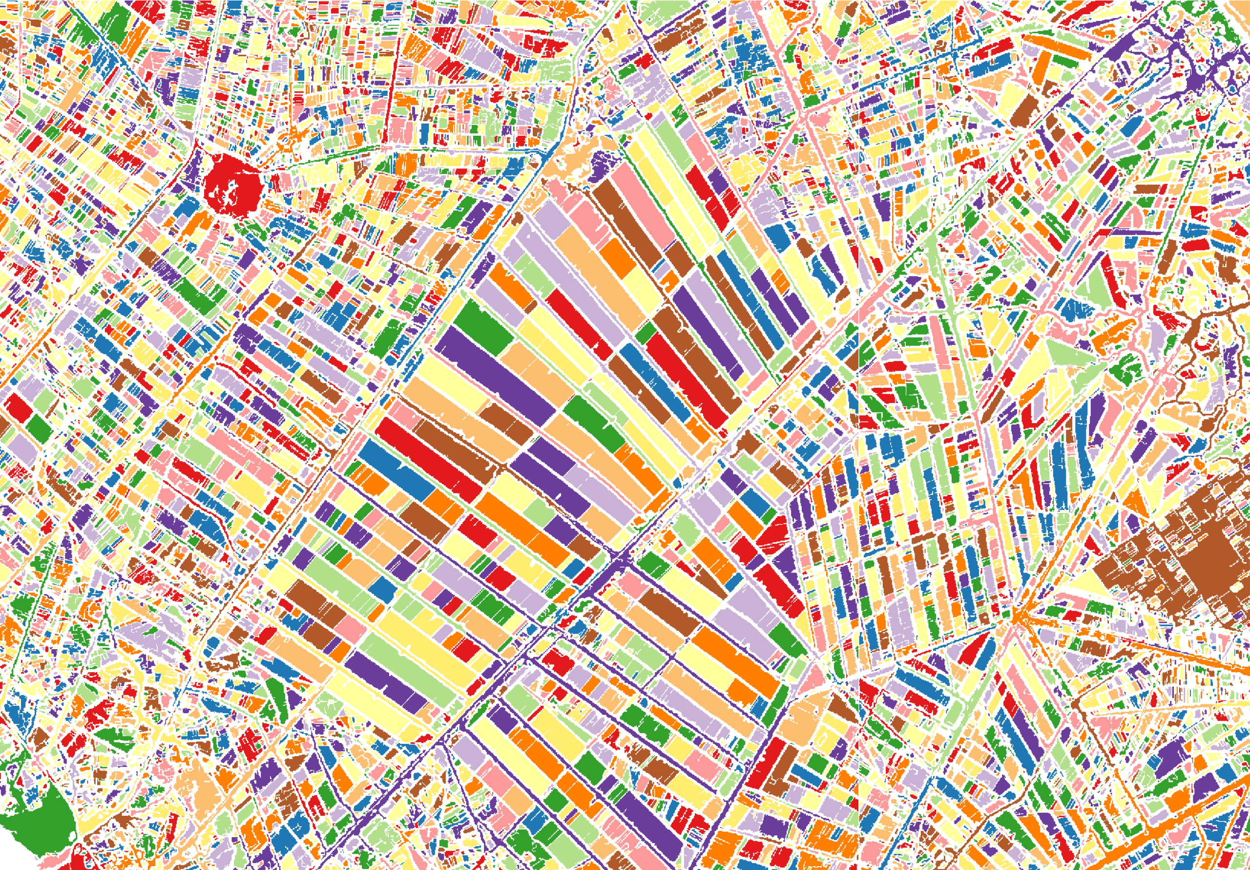
A choropleth map is a “thematic map in which areas are shaded or patterned in proportion to the meas...