Leveraging EarthDaily’s proprietary Bare Earth Composites and robust hyperspectral processing, Marigold enables geologists to pinpoint new deposits in hours instead of weeks.
Its GIS-like user interface and scalable analysis tools empower users to make swift, data-driven decisions, reducing exploration costs and maximizing discovery potential.
The combination of automated spectral processing, interactive data visualization, and geologically meaningful indices make workflows accessible to exploration teams — actionable geological insights.
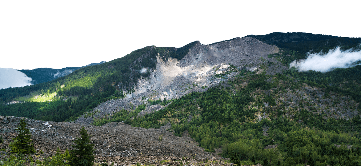
Case Study Çöpler Mine
This in-depth case study delivers a retroactive look at the Çöpler Mine disaster using remote InSAR monitoring. See how Iris detects movement before failure and helps safeguard future mine sites.
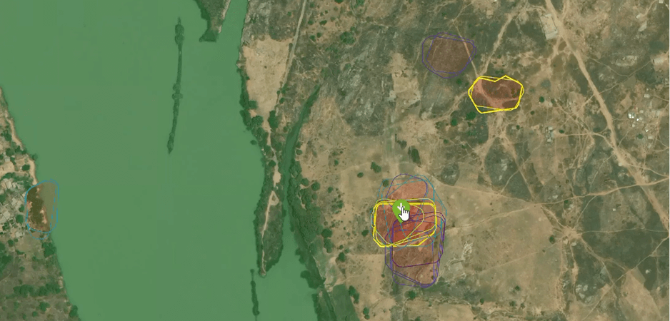
Ensure operational safety, compliance, and transparency by monitoring infrastructure like tailings dams and open pit walls. Receive real-time alerts on ground movement to prevent disruptions and environmental hazards.
Government & Regulatory Bodies
Improve decision-making with real-time deformation insights. Track industry-related ground movements and infrastructure risks, enabling better regulatory oversight and permitting decisions.
Risk Assessment & Insurance
Support predictive maintenance with early-warning InSAR alerts, mitigating costly claims for insurers, real estate, and civil planning. Quantify ground movement risks to enhance investment confidence and improve safety.
Environmental & Humanitarian Initiatives
Utilize ground deformation data to advocate for responsible resource extraction, enhance disaster response planning, and ensure environmental transparency.
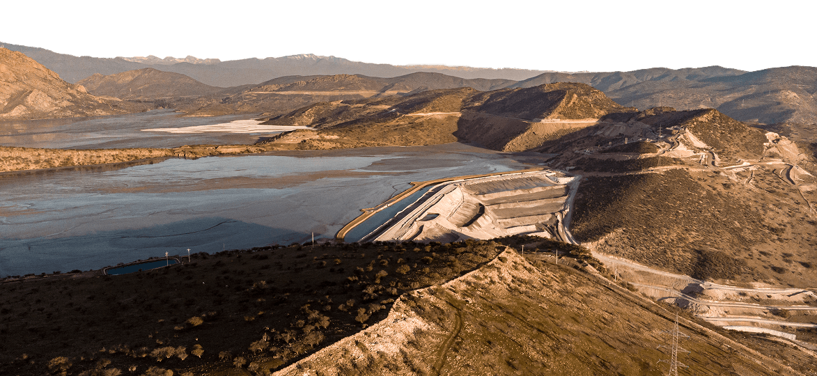
Challenge: Mining companies face infrastructure instability risks, including tailings dam failures and mine wall collapses, which pose safety hazards and financial liabilities.
Solution: EarthDaily’s InSAR monitoring provides early warnings of ground movement, enabling proactive maintenance and risk mitigation.
Outcome: Improved operational safety, reduced regulatory fines, and optimized resource allocation through real-time data insights.
Use Case: Government Regulatory Bodies
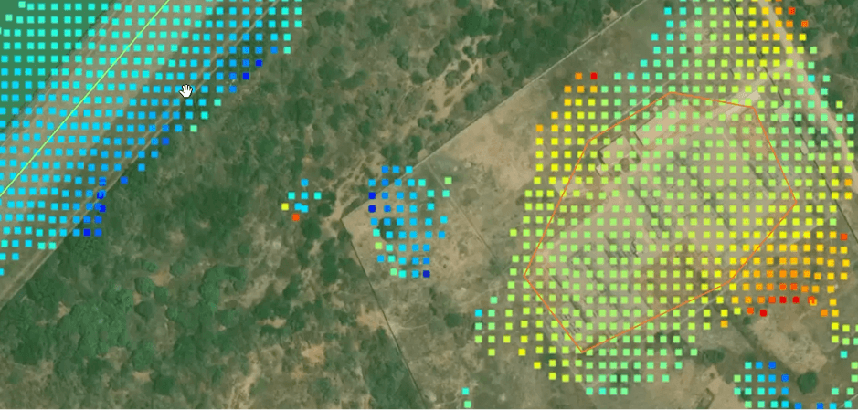
Challenge: Regulatory agencies need reliable, large-scale data to monitor compliance and assess environmental impact but lack access to continuous, high-resolution monitoring.
Solution: EarthDaily’s InSAR technology delivers precise, high-frequency surface deformation insights, aiding in informed decision-making and regulatory enforcement.
Outcome: Enhanced oversight capabilities, improved infrastructure safety, and more effective regulatory compliance enforcement.
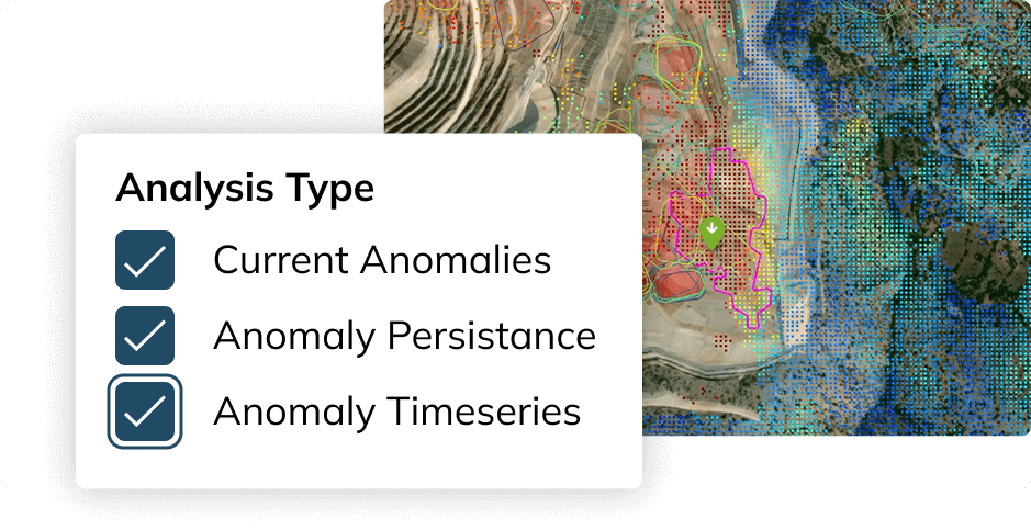
IRIS Features & Capabilities Unlock Powerful Insights with EarthDaily’s Advanced Features
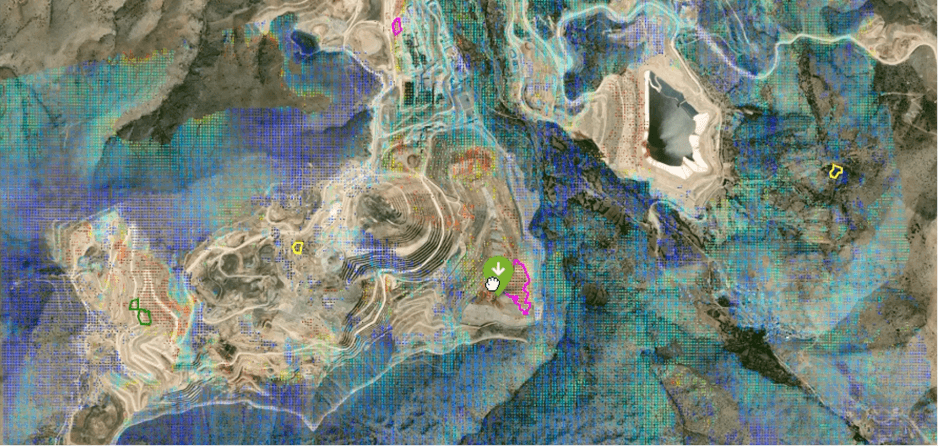
High-Resolution Monitoring
Detect subtle terrain shifts that traditional sensors miss. InSAR’s precision ensures early identification of deformation risks.
Enhance Stakeholder Confidence
Demonstrate commitment to safety and sustainability, meeting environmental regulations and improving public perception.
Reduce Operational Costs
Lower insurance premiums and minimize downtime with proactive monitoring, reducing maintenance expenses and unexpected failures.
On-Demand Historical Analysis
Access years of archived SAR data for a deeper understanding of terrain changes and risk patterns.
Streamline Operations & Extend Asset Lifespan
Optimize predictive maintenance efforts and maximize resource extraction with data-driven decision-making.
Custom Integration & Data Accessibility
Seamlessly integrate InSAR data with GPS, field sensors, and other monitoring tools.
.jpg?width=289&height=168&name=Data%20Use%20cases%20(1).jpg)