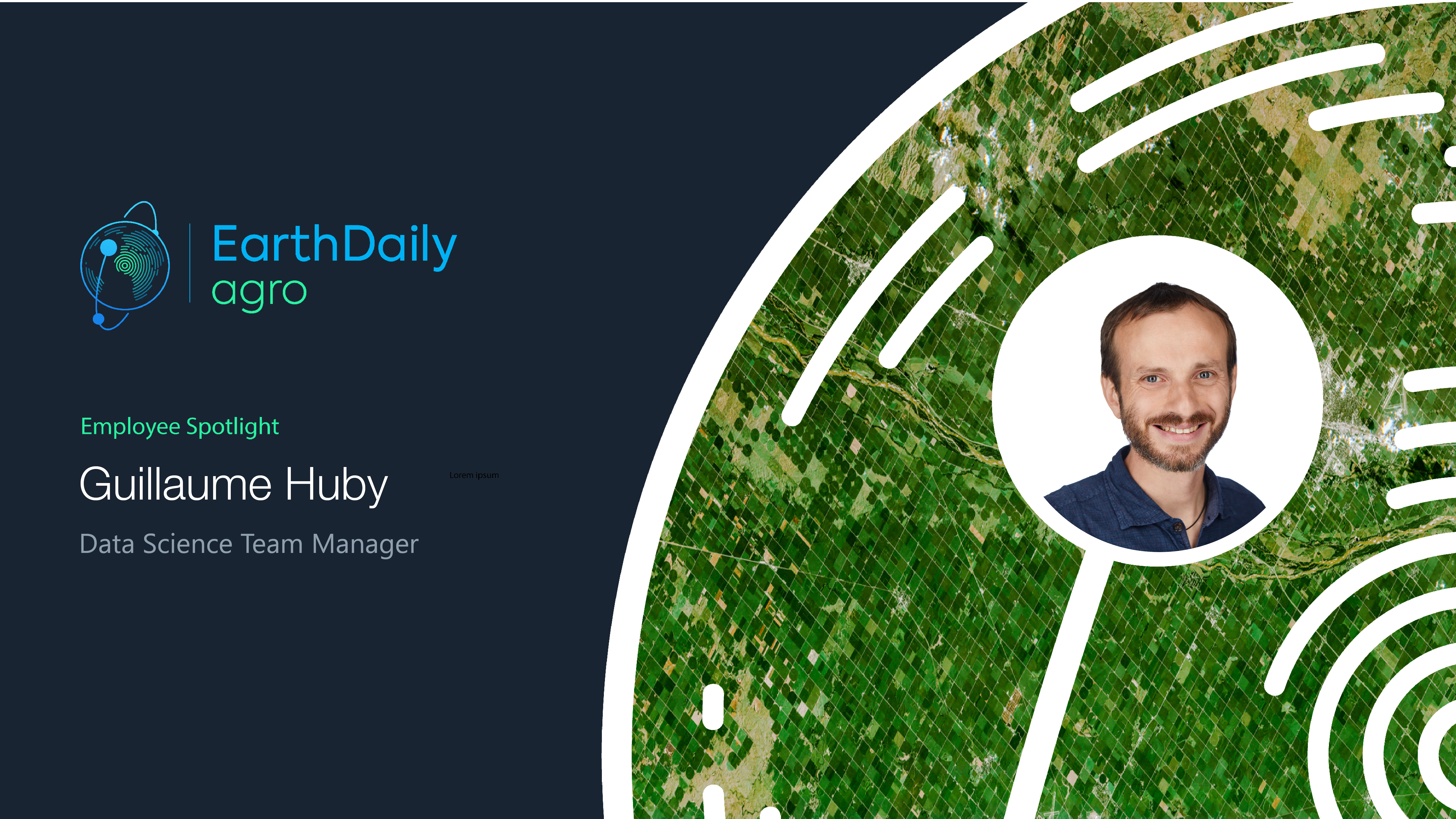
Employee Spotlight: Guillaume HubyMaryna SemerenkoAgricultureCompanyOct 12, 2023, 2:24:56 AMRead more
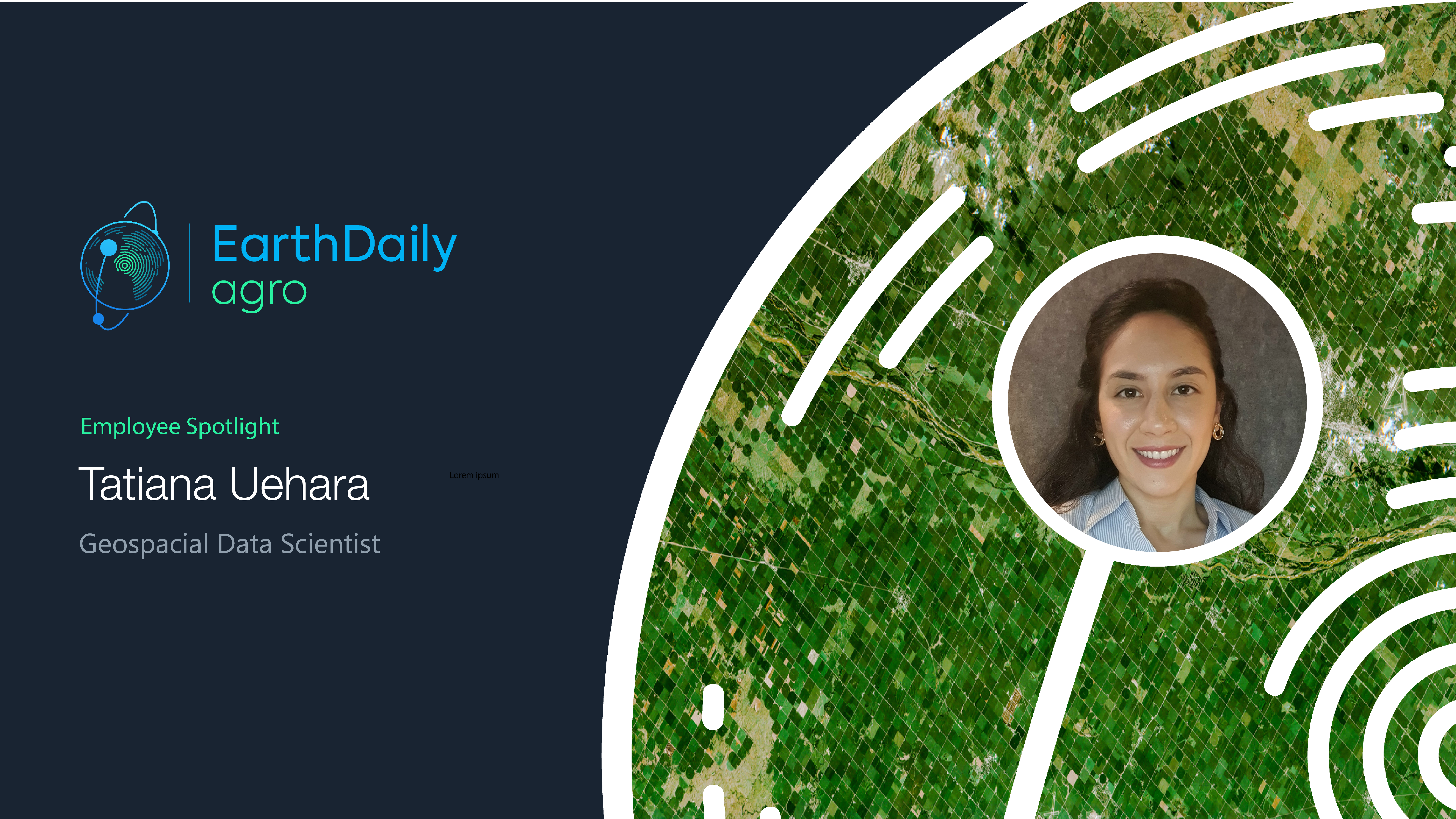
Employee Spotlight: Tatiana UeharaMaryna SemerenkoAgricultureCompanySep 29, 2023, 3:08:47 AMRead more
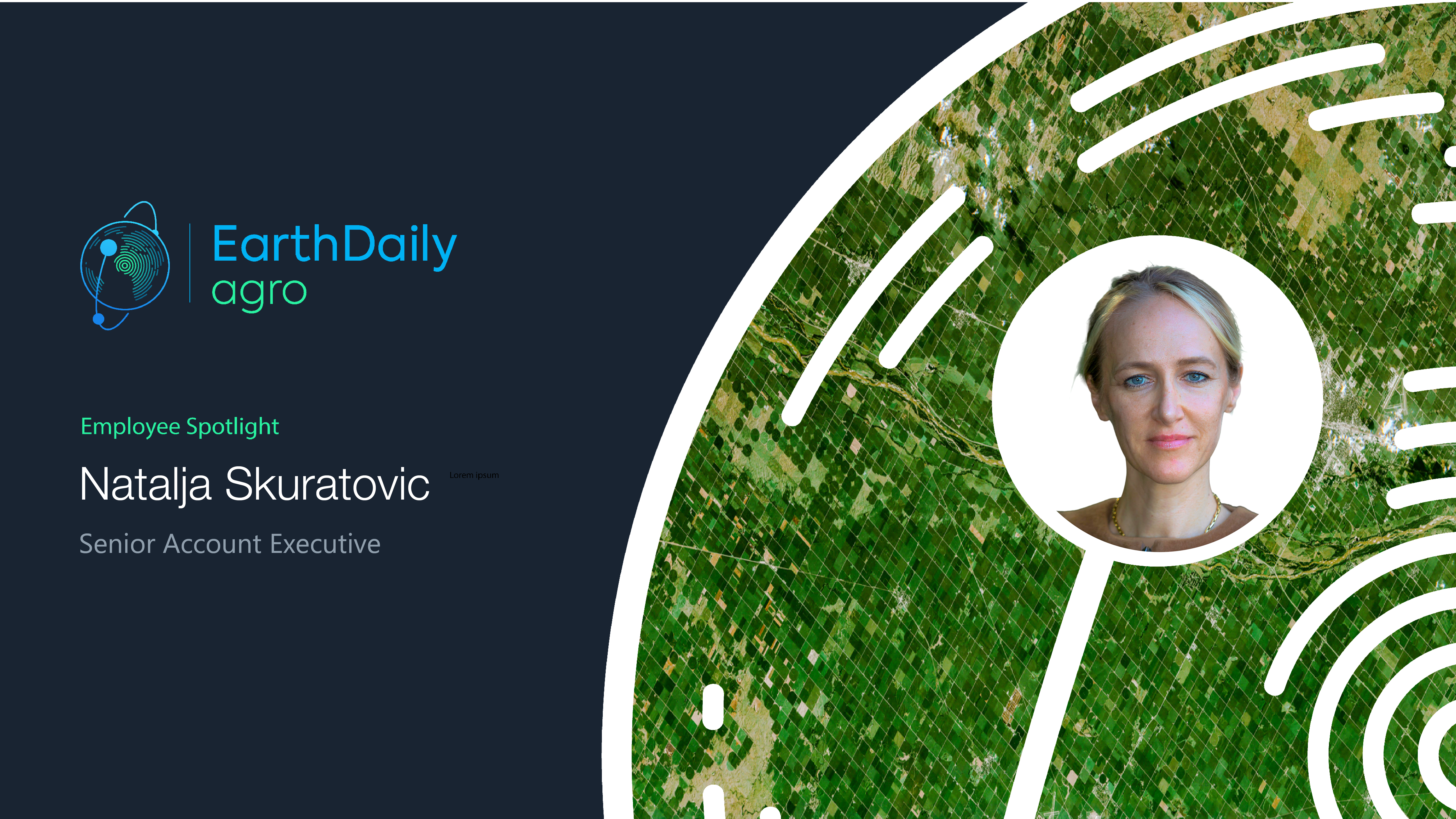
Employee Spotlight: Natalja SkuratovicMaryna SemerenkoAgricultureCompanySep 14, 2023, 7:46:38 AMRead more
$1 Million Grant to Fund New EASY4Ag Program From EarthDaily AgroMaryna SemerenkoFood & BeverageCommoditiesAgricultureAug 24, 2023, 7:13:53 AMRead more
Spend less data scientists' time cleaning data: High-quality cloud masks for Sentinel2, Landsat, and others available today Maryna SemerenkoAgricultureJun 30, 2023, 5:37:58 AMRead more
Employee Spotlight: Christina CollinsMaryna SemerenkoAgricultureCompanyJun 22, 2023, 1:48:12 AMRead more
New Agriculture Customers Get on Board as EarthDaily Analytics Prepares to Launch the World’s Most Advanced Change Detection SystemAndrew MullinAgricultureMar 9, 2023, 1:20:45 PMRead more
If You’re Looking for Agribusiness Solutions, Look to the SkyAndrew MullinCommoditiesAgricultureJan 30, 2023, 8:11:53 AMRead more
.jpg?width=289&height=168&name=Data%20Use%20cases%20(1).jpg)