Data & imagery

Data specifications and calibration

How the constellation data is held stable: the calibration process from lab to orbit, radiometric and geometric consistency, boundary alignment across dates, and the full specification comparison.

Day pass — VNIR, SWIR and TIR

Calibration

How EarthDaily calibration works

The four properties come from a calibration process that starts in the lab before launch and continues throughout the mission. Step through each stage below.

Goal: Make sure the changes you detect are changes on the ground.

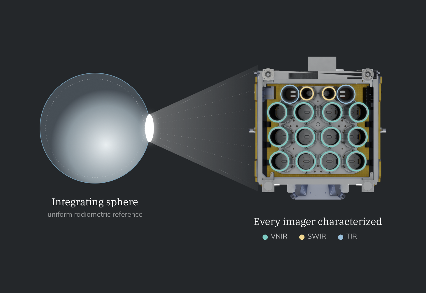
Integrating sphere shining a uniform reference into the imager, with every VNIR, SWIR and TIR imager characterised

Pre-launch calibration

We characterize each imager in the lab for about two years before launch, so we know how it behaves from its first image.

Imagers characterized
160
VNIR · SWIR · TIR
120 · 20 · 20
Lab characterization
~2 yrs
Calibration datasets
500k+

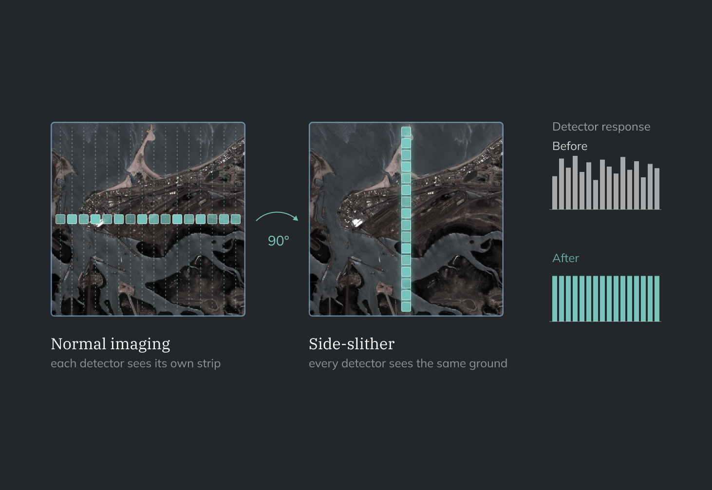
We characterize each detector with an integrating sphere, collimator, TVAC chamber, and laser.
Radiometric consistency

Consistent reflectance over time

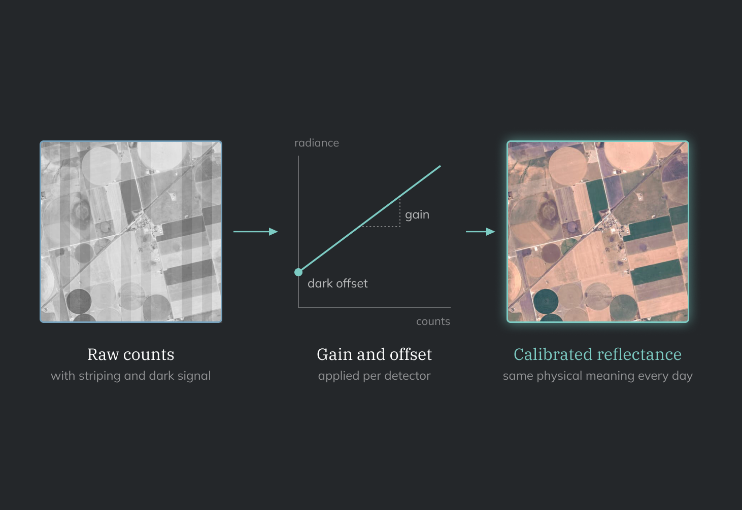
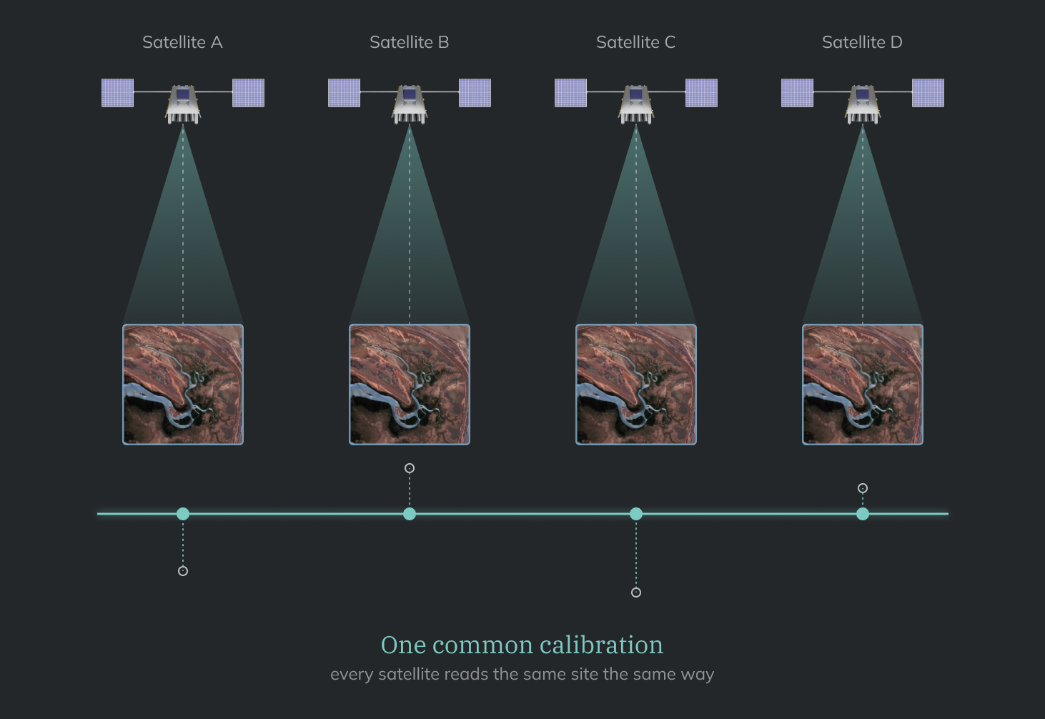
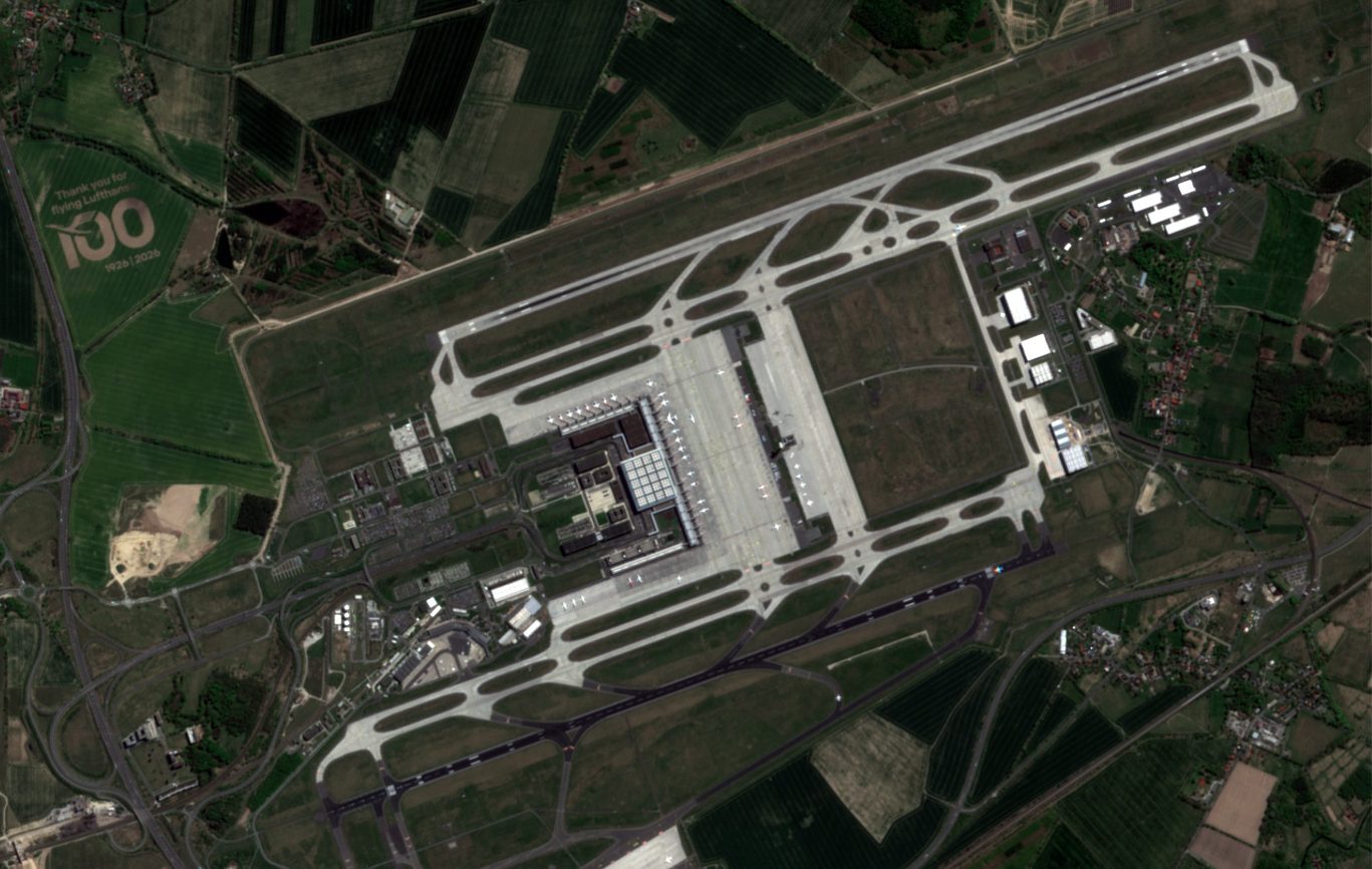
Radiometric calibration makes each pixel’s value represent how much light the Earth reflects, so your measurements stay consistent across dates and satellites.

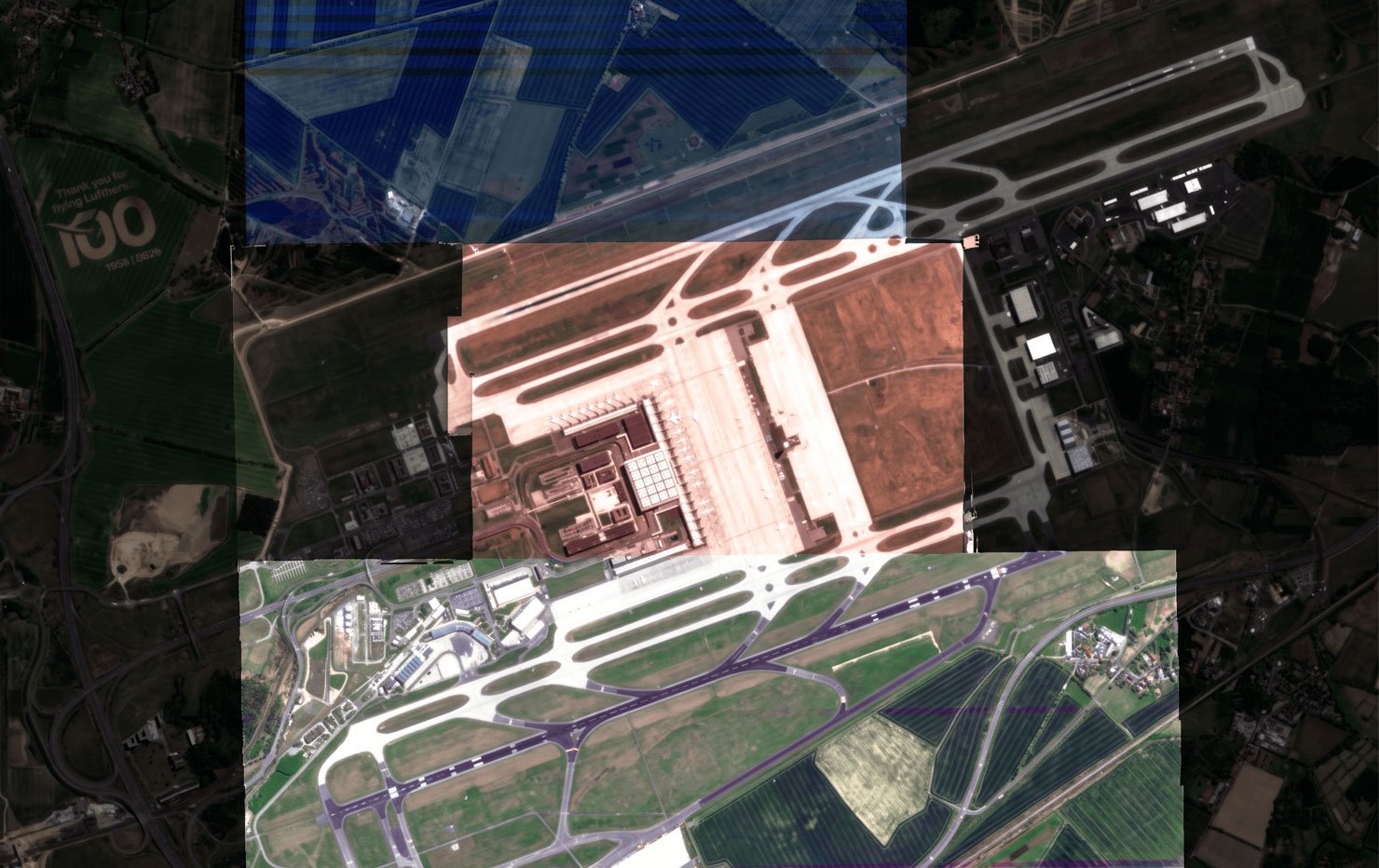
leop-berlin-germany-02 Calibrated
Radiometrically-inacurate-compressed Uncalibrated

Berlin Brandenburg Airport, Germany. Drag to compare the same scene before and after calibration.

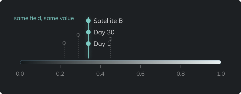
  • Reflectance chart: one field reads the same value on Day 1, Day 30 and on Satellite B

    One absolute reflectance scale

    Calibration puts each image on the same absolute reflectance scale, so a field gives the same reading from one day to the next and from one satellite to another.

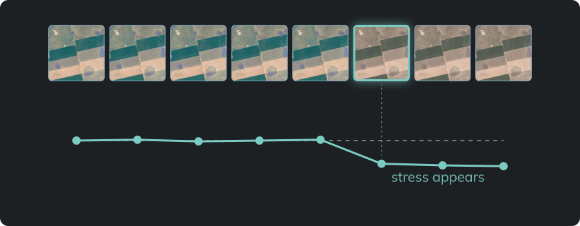
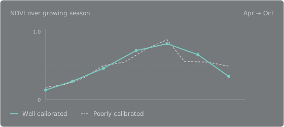
  • Stable reflectance curve over time with the point where crop stress appears

    Reliable time series

    When the signal is stable, a change in reflectance means a change on the ground. You see crop stress sooner, and forecasts built on the data stay consistent.

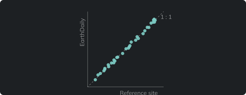
  • EarthDaily reflectance plotted against a reference site along the 1 : 1 line

    Independent verification

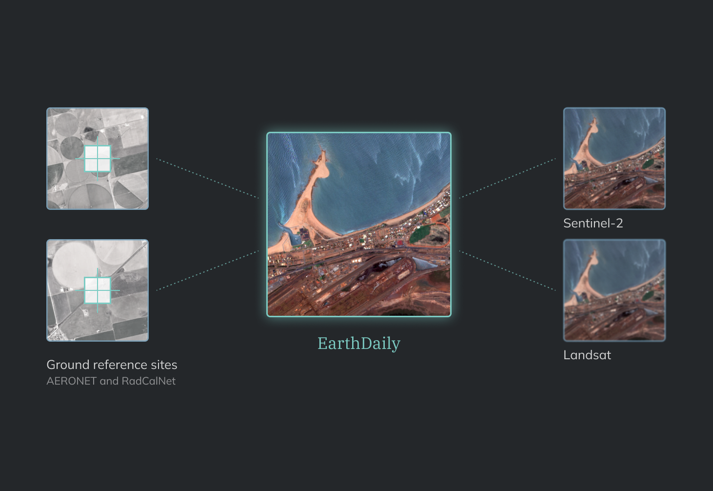
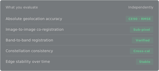
    Radiometric accuracy and stability are independently verifiable against reference sites and across the constellation.

Geolocation & geometric consistency

How geometric calibration places each pixel

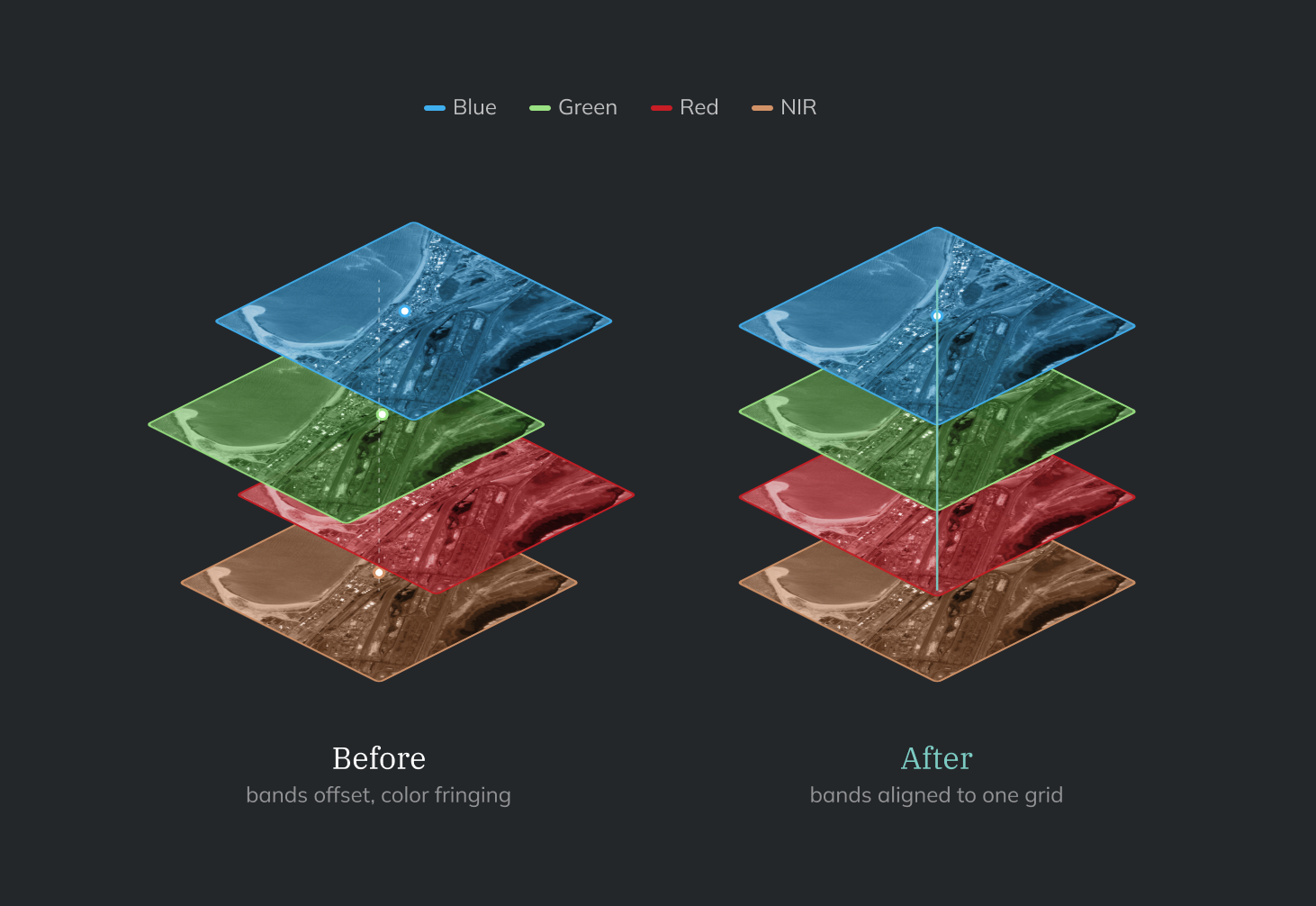
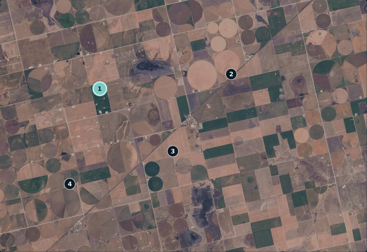
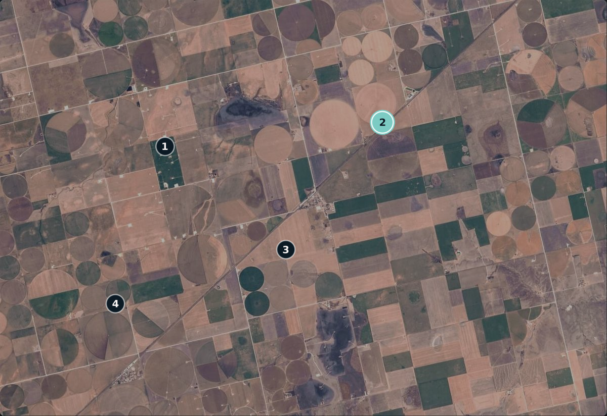
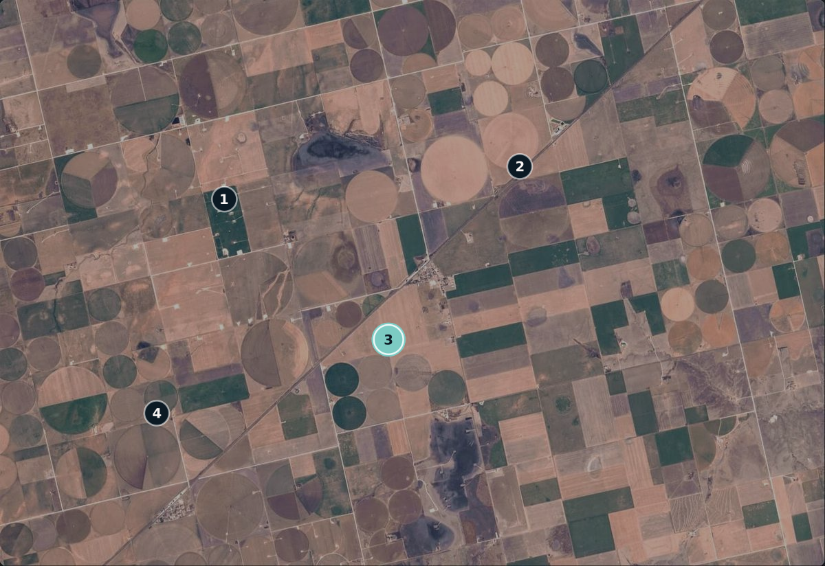
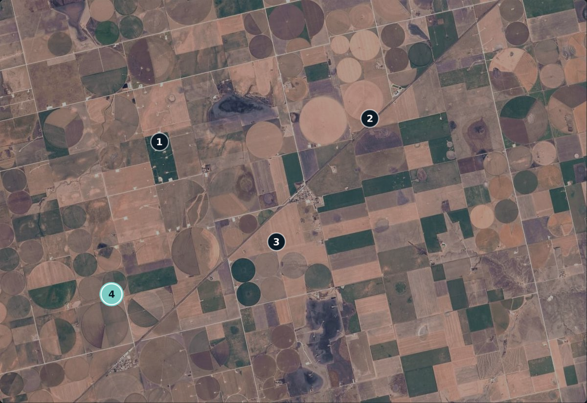
Geometric calibration places each pixel at its correct location on Earth, so you track the same field and the same plants on each visit. Step through each stage below.

Centre-pivot irrigated fields seen from orbit, callout 1 of 4 selected
Precise geolocation

Precise geolocation

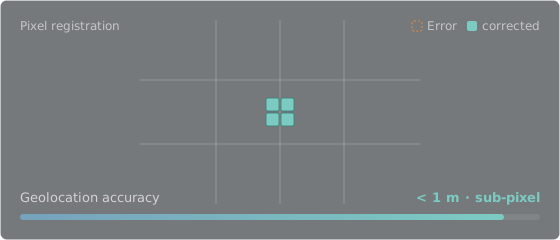
In-flight geometric calibration corrects pointing errors, optical distortions, and timing offsets, so each pixel lands in its correct position.

  • Corrects spacecraft pointing errors
  • Models and removes optical distortions
  • Resolves detector timing offsets
Pixel registration: an offset pixel is corrected into its grid position; geolocation accuracy under 1 metre, sub-pixel

Geometric consistency

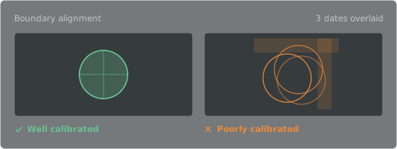
Field boundary alignment across dates and satellites

Registered · 3 dates aligned

data-gallery-camana-peru
Acq. 01 · 12 Apr
Acq. 02 · 03 Jul
Acq. 03 · 21 Sep
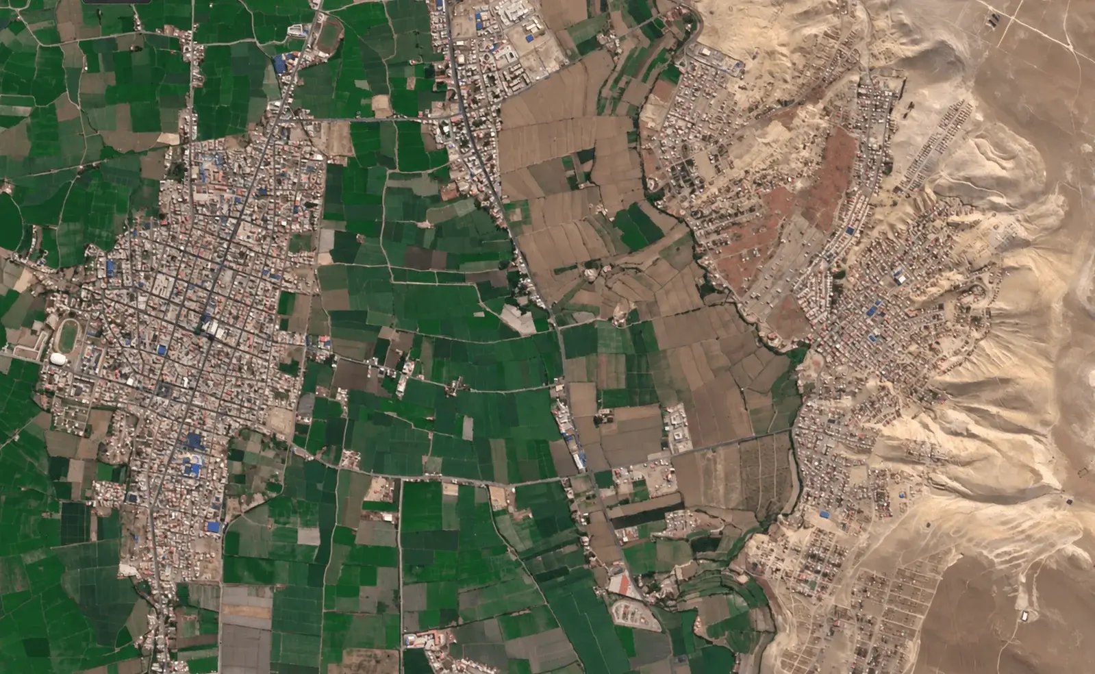
Three acquisitions of one field, each at 50% opacity. The teal posts mark the surveyed boundary – every layer’s corners thread straight onto them.

Registration controls


0 px

What it costs you

Sampled area that is really your field
99.4%
Boundary drift across dates
< 0.3 px
NDVI trend you can trust
Yes

When pixels land in the right place, the same plants are measured every time – so a change in the signal means a change on the ground.

Full comparison

Every specification, and why it matters.

EarthDaily compared with typical CubeSat constellations, and why each specification matters
Feature EarthDaily Typical CubeSat constellations Why it matters
What we collect
Measurement quality Sharp Noisy Ensures detected changes reflect true ground transformations rather than sensor or atmospheric noise.
Swath 240 km 24 to 32 km Expands coverage per pass to monitor regional changes more frequently.
Spectral stack 22 calibrated: 11 VNIR, 6 SWIR, 5 TIR 4 to 8 Aligns pixels under identical atmospheric conditions for accurate detection of subtle surface changes.
Pixel size 5 m 3 to 4 m Slightly lower pixel size improves the SNR, and allows for wider swath.
Radiometry 16-bit depth Lower depth, variable Consistent collection times ensures color accuracy for effective detection.
Geolocation Aligned Misaligned Analyze exact image overlays for greater accuracy.
How we collect
Orbit All satellites are in the same sun-synchronous orbit, crossing the equator at 10:15 and 10:45 local Multiple orbits, inconsistent crossing times Consistent geometry and radiometrics.
Angle Nadir Varied, non-nadir Nadir viewing eliminates geometric distortion, ensuring algorithms compare real surface changes rather than off-axis viewing artifacts.
Contributing satellites 9 + 1 in the same orbit (nine operational, one in-orbit spare) 120+ in different orbits Risk of masking change increases with more satellites used.
Satellite class Minisat, 200 kg CubeSat, ≅ 5 kg Supports superior optics and higher throughput, providing the signal quality and stability critical for accurate broad-area change detection.
Satellite mission 10 yr. avg. 3 yr. avg. Disrupts continuity, increasing data variability.
When we collect
Revisit rate 92% of landmass daily 78% near-daily Receive more accurate change values.
Time of day Exact: 10:15 and 10:45 local crossing times Varied Consistent sunlight provides comparable brightness values.
Latency SLA dependent, priority as quickly as 3 hours SLA dependent Flexible delivery options.

Evaluate EarthDaily data

Book a time with one of our experts to discuss integration.

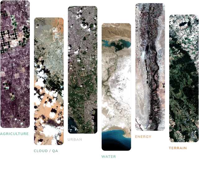
Pioneer Program Dataset Categories Hero