EarthDaily Constellation Imagery 

Curated captures from the launch and early orbit phase.

The Right Data for Your Mission

EarthDaily delivers three distinct data products, each optimized for specific operational requirements.
All three are built on the same consistent constellation, share the same geometric precision, and benefit from the same AI-first engineering.

Learn More

AiRD:
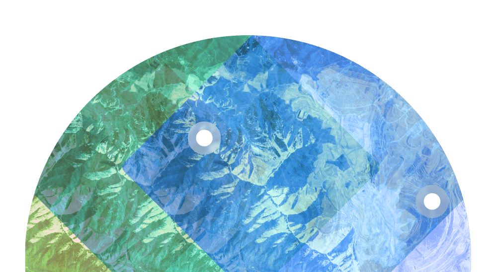
AI-Ready Data for Automated Analytics

Precise orbit control maintains the same overpass time and viewing geometry daily. When your baseline doesn't shift between acquisitions, AI models distinguish real change from sensor artifacts with confidence. The result: demonstrated precision and recall exceeding 85% over operationally challenging environments.

EarthDaily-AIRD
Learn More

Maritime:
Detection Across the World's Oceans

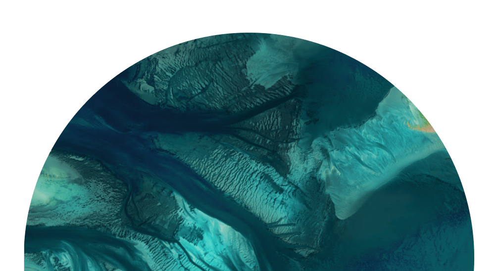
Streamlined 4-band configuration with 8-bit depth, engineered for rapid processing across vast maritime areas. Purpose-built for vessel detection, coastal monitoring, and behavioral analysis at operational scale. Choose Maritime when processing efficiency across millions of square kilometers matters most.

EarthDaily-Maritime
Learn More

Science:
Full Control for Custom Processing

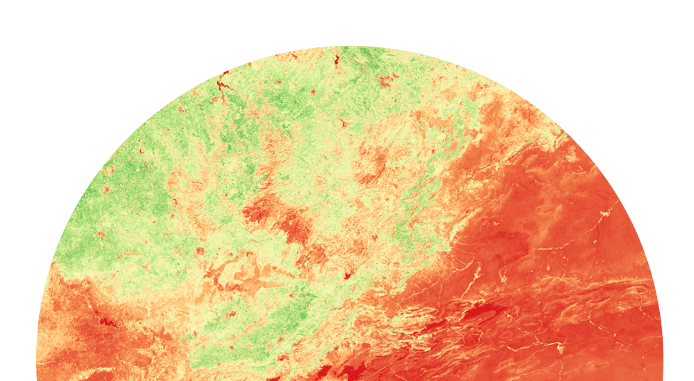
10-band top-of-atmosphere data with L1 calibration, including the Coastal band for atmospheric characterization. Built for teams with their own processing pipelines who require maximum spectral information and complete processing control. Choose Science when your team implements proprietary algorithms and needs full-spectrum, unprocessed data.

EarthDaily-Scientce

Not sure which product fits your requirements?