

.jpg?width=289&height=168&name=Data%20Use%20cases%20(1).jpg)
ITEA PROJECT 22014 · Natural Disaster Risk & Assessment
A platform for natural disaster
risk assessment.
Interoperable, Scalable and STAC standardized Earth Observation for forest fires,
flooding and landslides led by EarthDaily Analytics.
NADIR combines satellite Earth Observation, drone observations and AI‑driven analytics to support the assessment and mitigation of natural hazards.
A 3.25-year ITEA research project, delivered by a consortium of nine organisations across Canada, Portugal, Romania, the United Kingdom and the Republic of Korea.
EarthDaily Analytics is the project leader. NADIR addresses
forest fires, flooding, landslides and natural hazards
whose frequency and intensity continue to rise as climate
patterns shift.
The Challenge
Disaster management tools share a common set of limitations: data is inaccessible, interoperability is poor, and analysis functions are
fragmented.
Between 1900 and 2020, 36,000 recorded natural disasters
resulted in over eight million deaths and billions of dollars in
losses. Emergency and civil protection authorities rely heavily
on geographic information systems to plan for and respond to
these events, but existing tools are limited.
The wider market for natural disaster management services
lacks an ecosystem in which scalable, automated
assessments, alerts and recommendations can be developed
and shared. NADIR was scoped to address these gaps directly.
What NADIR Enables
From daily monitoring of high-risk areas to
early intervention before forecast hazard events.
Continuous monitoring of high-risk areas at daily revisit frequency, drawing on satellite, drone and ground-based observations brought together in a common environment.
Realistic scenarios for emergency response teams, validated against historical events and pilot data from across the consortium.
Risk prediction based on multi-source data fusion — combining EO, IoT sensors, UAV observations and historical pattern analysis.
At a glance.
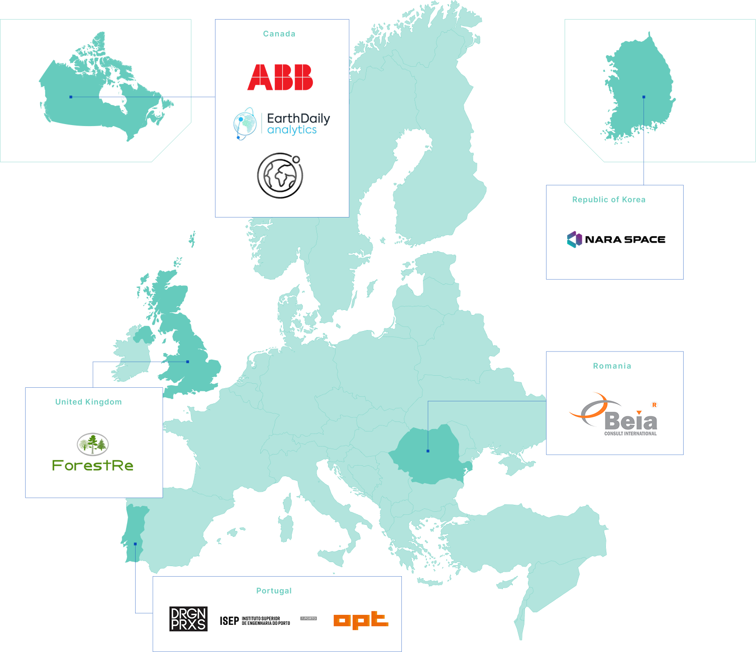
EarthDaily Analytics, Canada
Nine organisations across five countries
Dec 2024 — March 2028
22014

Pilots across Europe, North America and the Republic of Korea
Explore NADIR
Wildfire risk, landslide early warning, and algae bloom detection.
Platform architecture, data sources, AI methods and integration.

ITEA is the Eureka RD&I Cluster on software innovation, enabling industry, SMEs, start-ups, academia and customer organisations to collaborate in funded projects.
ITEA turns innovative ideas into new businesses, jobs, economic growth and benefits for society. It is part of the Eureka Clusters Programme (ECP). NADIR is co-funded by National contributions from NRC Canada and ANI Portugal.