.jpg?width=289&height=168&name=Data%20Use%20cases%20(1).jpg)

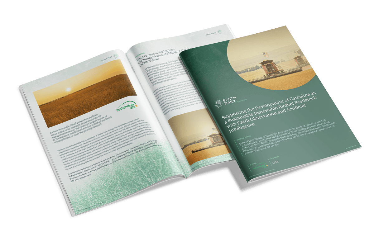
Supporting the Development of Camelina as a Sustainable Renewable Biofuel Feedstock
Our case study reveals how Montana-based Sustainable Oils—part of Global Clean Energy—has harnessed the unique power of camelina, a non-food crop with exceptional carbon sequestration and yield potential, to meet soaring renewable diesel demands.


