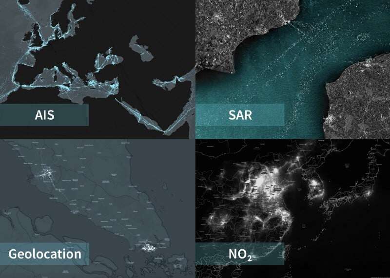
.jpg?width=289&height=168&name=Data%20Use%20cases%20(1).jpg)
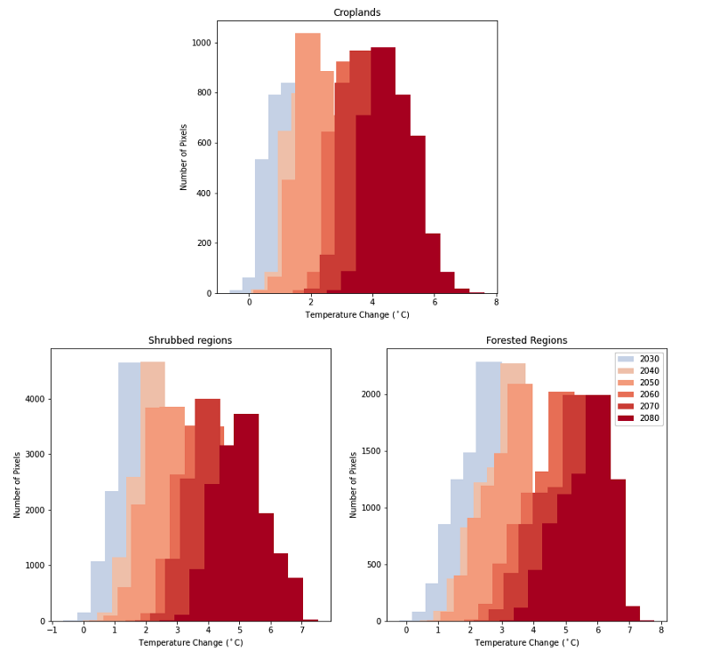

Predicting Vegetation Indices Using Radar Imagery By Terry Conlon — Ph.D. Student in the Sustainable...
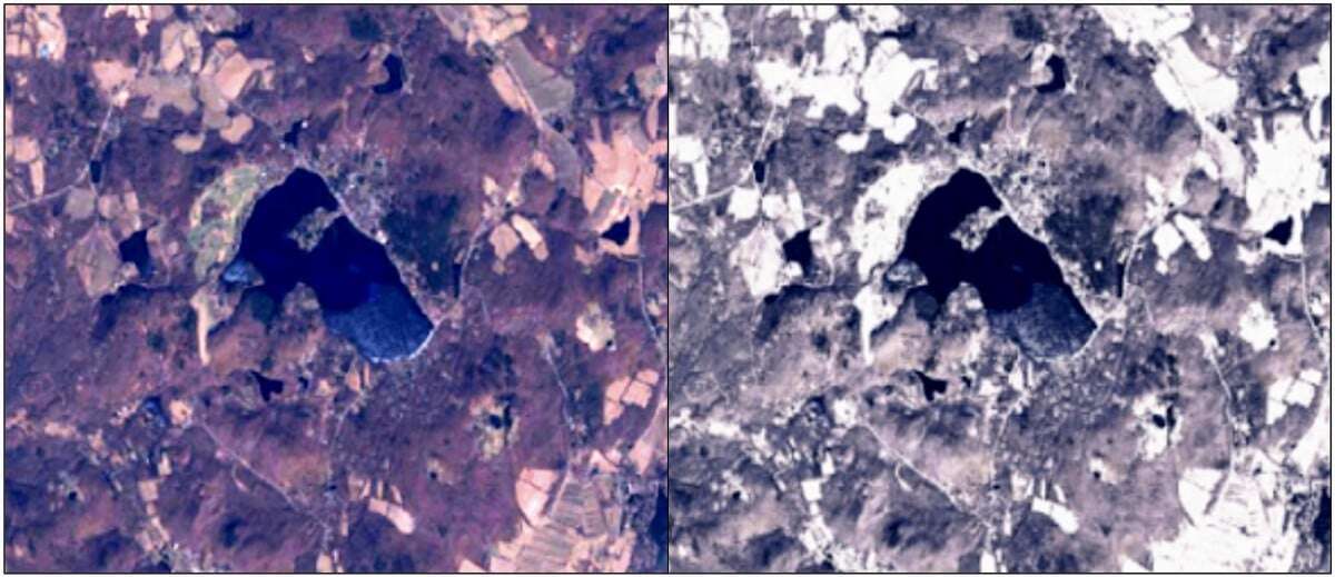
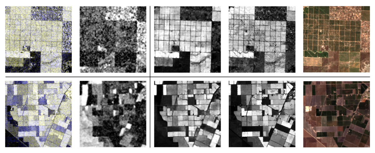
Generating realistic but synthetic images to test automated change detection algorithms By Christoph...
How to remotely monitor supply and demand to make better business decisions in times of economic dis...
Descartes Labs opens up our second round of applications for free platform API access to individuals...
We will recover, but how will we know when? Updated with aggregated mobility data from Friday, June ...
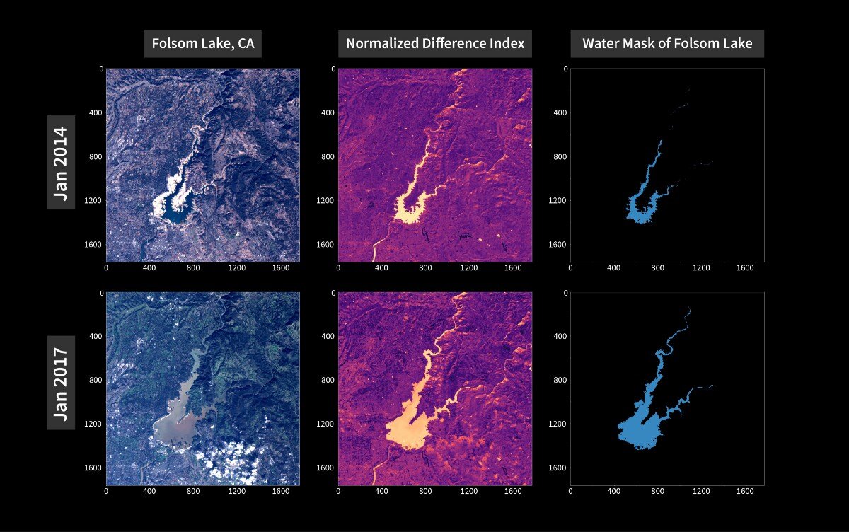
Geospatial data and modeling tools in one package At Descartes Labs, we’ve been working at scale for...
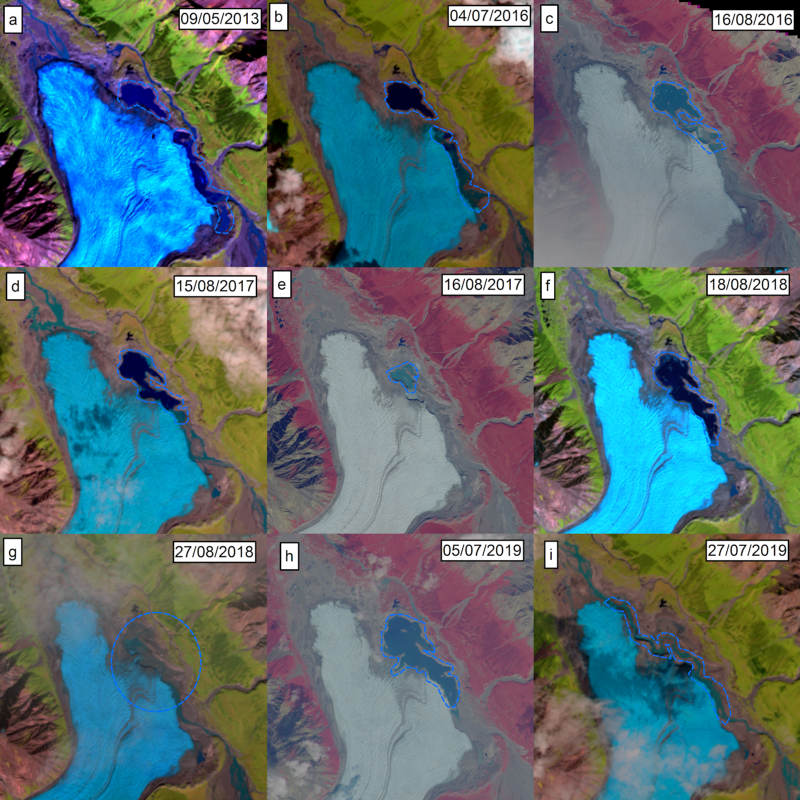
Creating statistical models of reservoir storage and hydropower generation using the Descartes Labs ...
For a fun piece to chew on during the Thanksgiving holiday, National Geographic asked Descartes Labs...
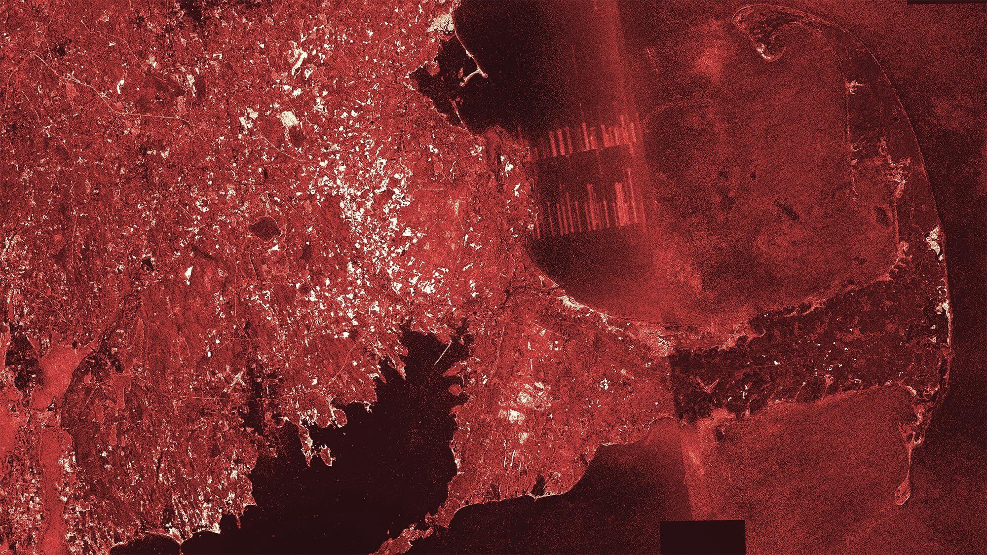
There’s never a dull moment over here at Descartes Labs. Between hosting the 2030 Governor’s Energy ...
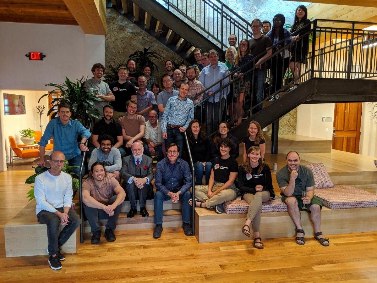
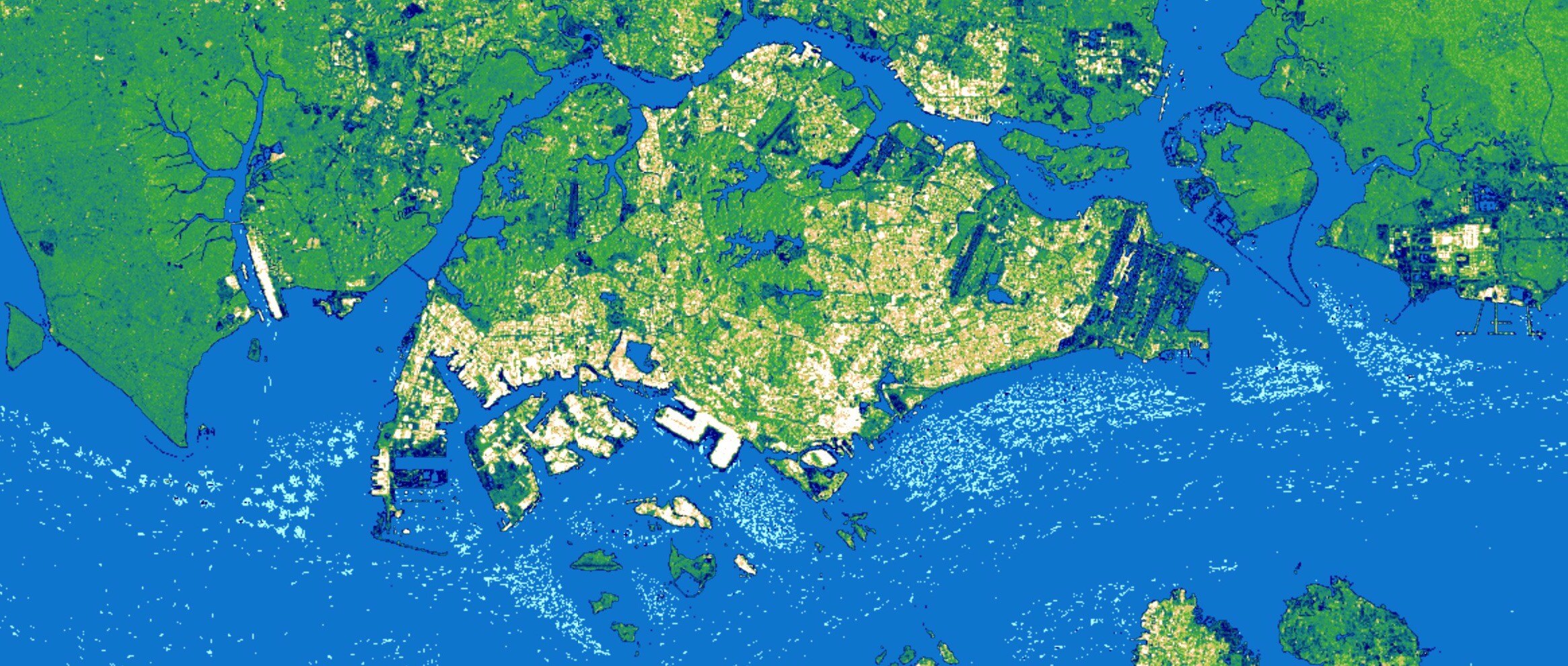
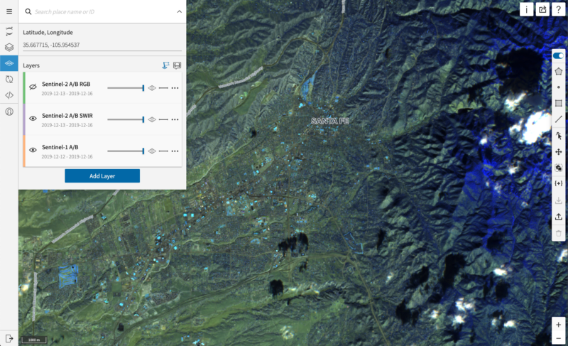
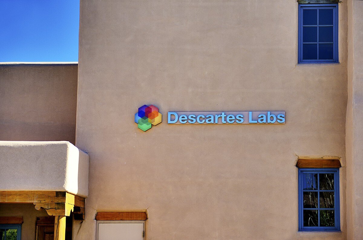
Santa Fe is a special place. Aside from its unique adobe-style architecture, one of the things that ...
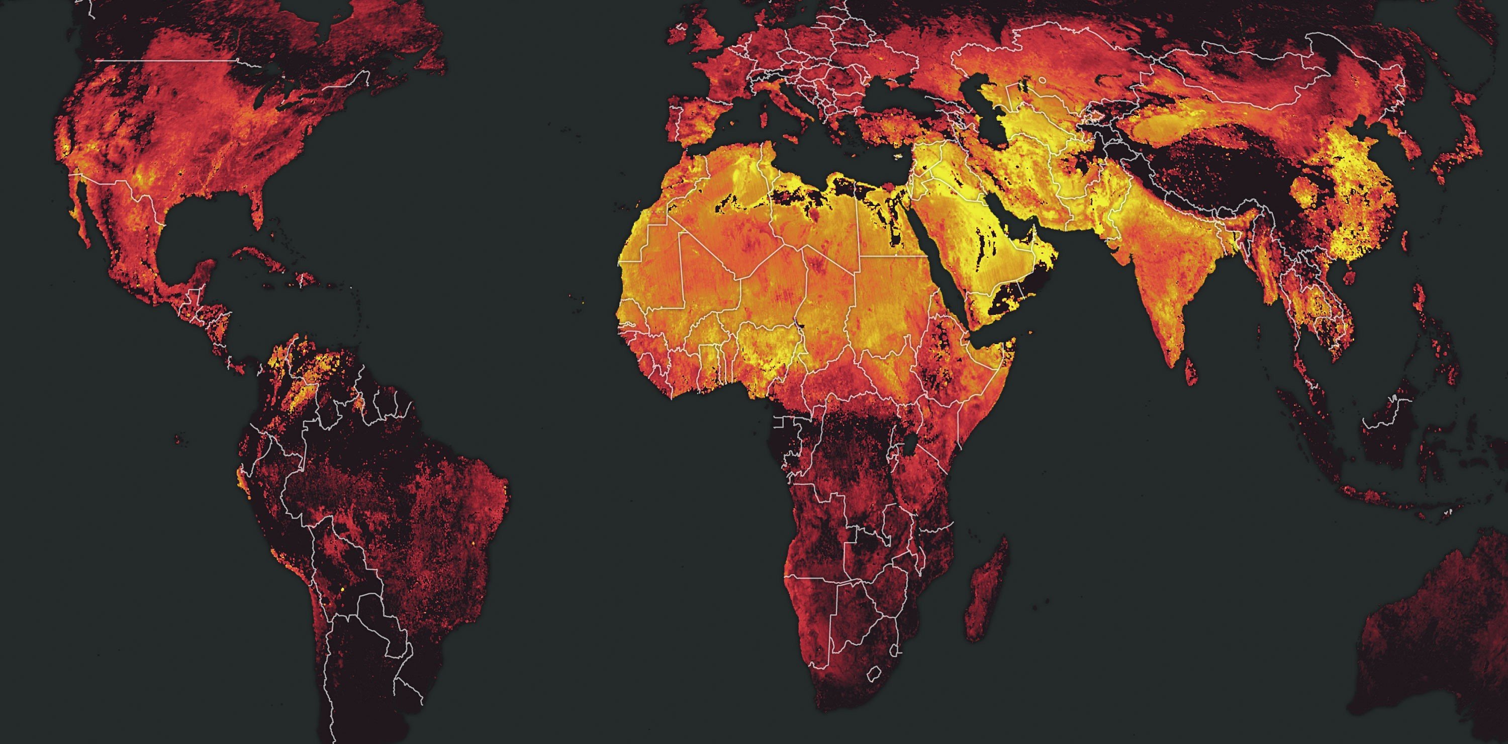
The European Space Agency’s launch of the Sentinel-5P satellite in October of 2017 ushered in a new ...