Partner & Custom Solutions
We provide our partners analysis ready Earth Observation data with Global Daily Coverage, Spectral Diversity, Coherent Data, and Scientific Grade. Our focus is to enable partners using EO data at Scale and/or Solution Providers that take Earth Observation data and create analytic solutions in forestry, maritime, energy, agriculture, mining, defense, and more.

EarthDaily brings more than great data will help you combine, harmonize and prep scientific grade data for analytics. We provide great data at a reasonable price with favorable business terms and ability to influence our mission. Earth Observation data optimized for ESRI Providers.

Experience the EarthDaily Constellation
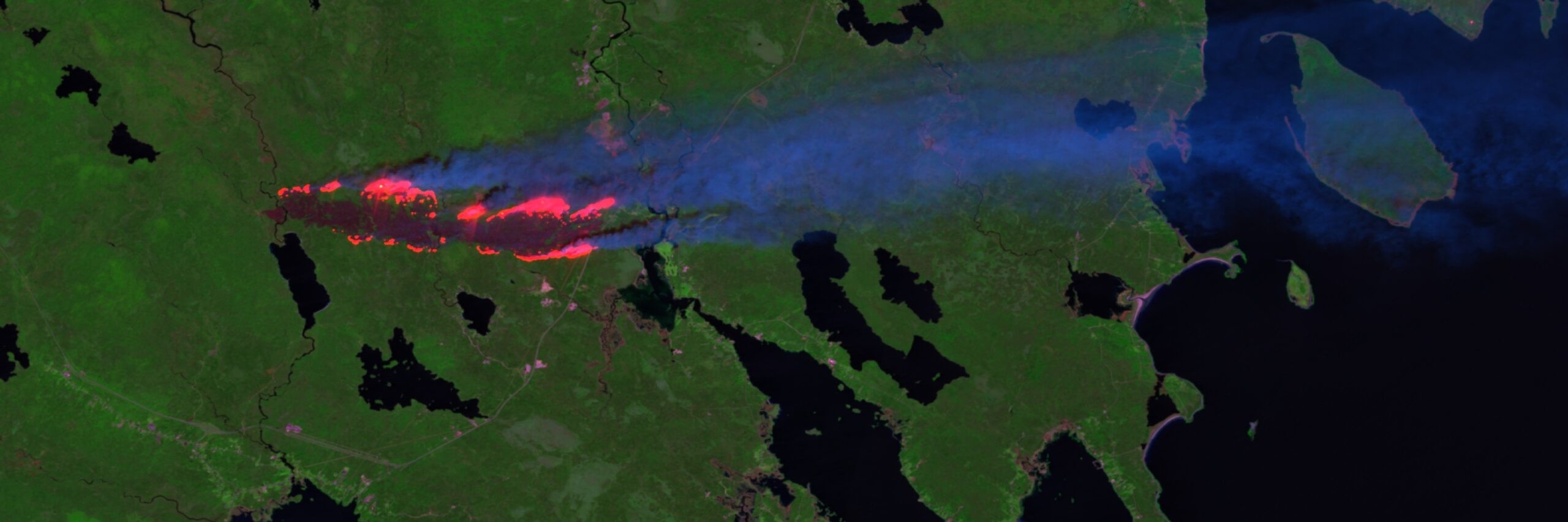
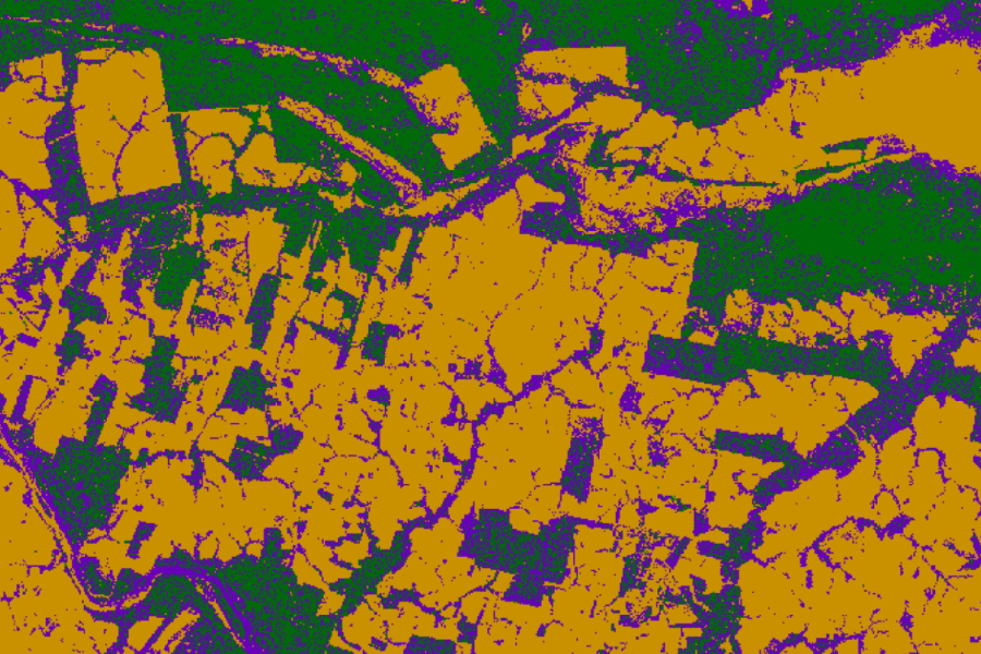
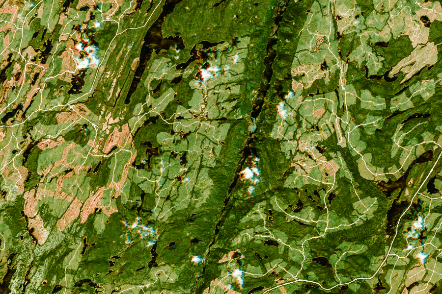
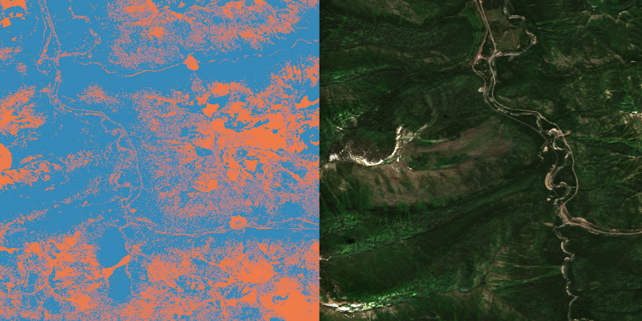
What does the world’s most advanced change detection system look like?
The unprecedented insights unlocked by our constellation will enable our customers to make informed decisions with the magnitude of accuracy and efficiency unseen before.
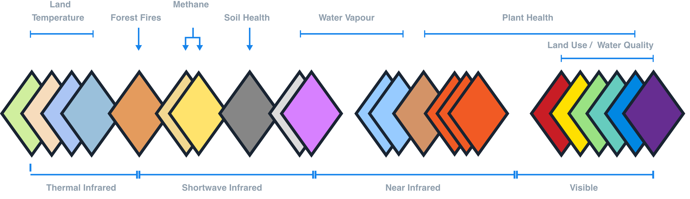
22 Spectral Bands
Tailored to give you the best Analysis Ready Data
EarthDaily’s unique data source allows us to solve the following challenges:
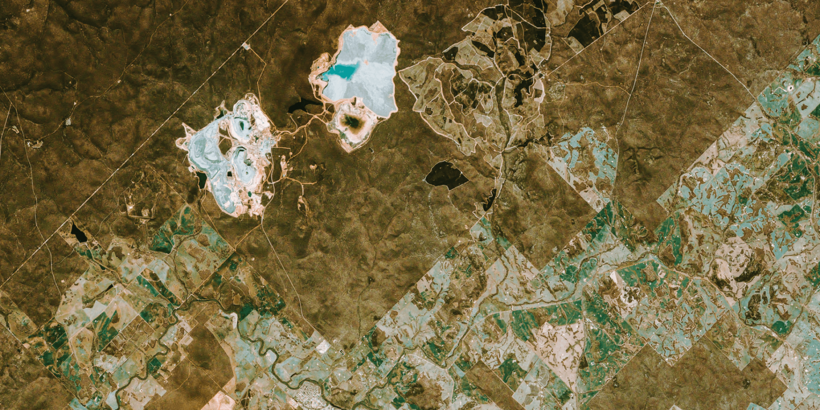
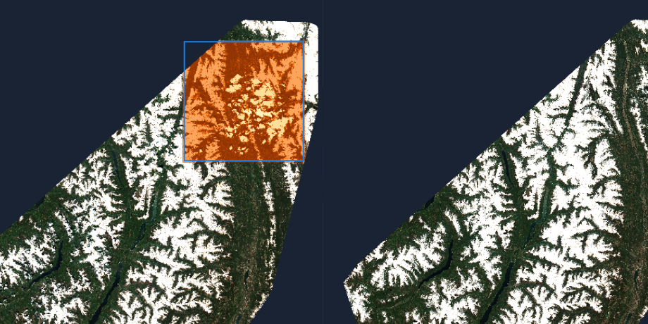
Spectral Diversity
Take advantage of data from 22 spectral bands with spatial resolution of 5 meters allowing for analysis and measurement not readily available today.

Global Daily Coverage
With daily revisit at the same time and location Data is available Everywhere. Everyday.™
Coherent
We provide data that is temporarily, radiometrically, geometrically analysis ready
Scientific Grade
High quality data with consistency and superior pre-processing & cloud masking & backwards compatible with Sentinel & Landsat data.
Foundational Partner Program
EarthDaily is on a mission to bring the world’s most advanced change detection system to market, providing high accuracy broad coverage earth observation data that helps unlock valuable insights far beyond what is economically feasible or technically possible with currently available commercial EO offerings. We are building a global network of foundational partners that are committed to working with EarthDaily in pioneering our next-generation earth observation technology to build innovative and valuable solutions for their customers.
- EarthDaily brings more than better data we solve the pain around data preparation for analytics
- Change detection at the quality that is relevant for your business
- Capacity, quality, consistency, and pre-processing data to reduce your total cost of ownership
- Providing the resolution of natural observable elements every day
Products & Services
EarthDaily is on a mission to empower the entire Space and Earth Observation industry with the most meaningful data and insights,
much needed for decision-making, quantifying, and managing risk across all sectors and industries.


Not all data is created equal. Don’t settle for anything less than what EarthDaily Analytics offers: accuracy, quality and coverage. Join us on the mission to solve the biggest challenges.
Making a difference starts here.