EarthPipeline
Introducing the World’s First Fully Managed Ground Segment Pipeline as a Service. A New Ground solution for New Space designed to transform your downlinked satellite data into high scientific quality “Analysis Ready Data” (ARD) at scale.

How Good is Your Mission?
Mission-level designs combine satellite design with ground segment design to bring the highest value to the end customer.
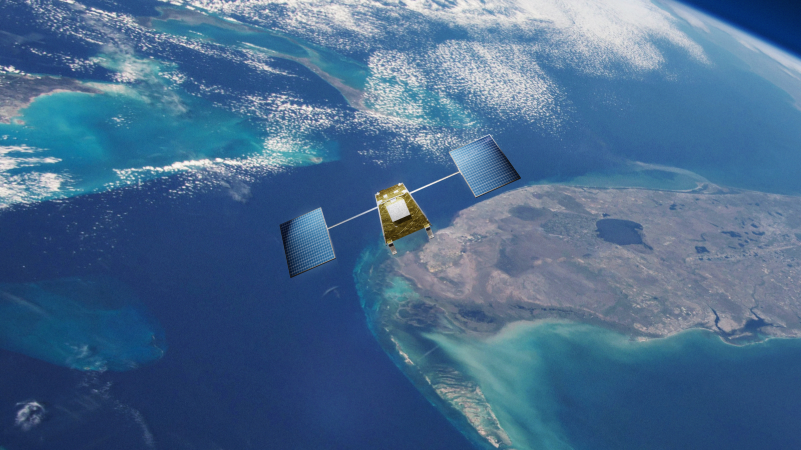
The EarthPipeline is designed to generate Analysis Ready Data products from all types of satellites including satellites with lower cost GPS, star trackers, and optical systems.

Ready for Analytics?
Remote sensing specialists and data scientists routinely report that they spend as much as 80% of their time as “data hygienists” dealing with quality issues and normalizing different data sets.
The EarthPipeline removes the pre-processing, normalization and image transformation tasks from your workflow at scale, delivering Analysis Ready Data (ARD) products ready to be used in artificial intelligence (AI) and machine learning (ML) applications seamlessly, securely, and rapidly.


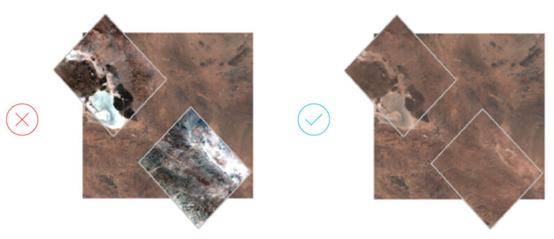
Know Your Location
Some data providers have products that are geometrically misaligned, which is challenging for end users.
See The Signals
Radiometric accuracy is crucial for deriving quantifiable change and actionable insights without false positives.
The EarthPipeline delivers scientific quality radiometrically accurate products designed for geoanalytics.
There's enough data out there, but what’s not enough is the level of accuracy, quality and coverage we offer.
Global change detection at its best is finally a reality.