.jpg?width=289&height=168&name=Data%20Use%20cases%20(1).jpg)
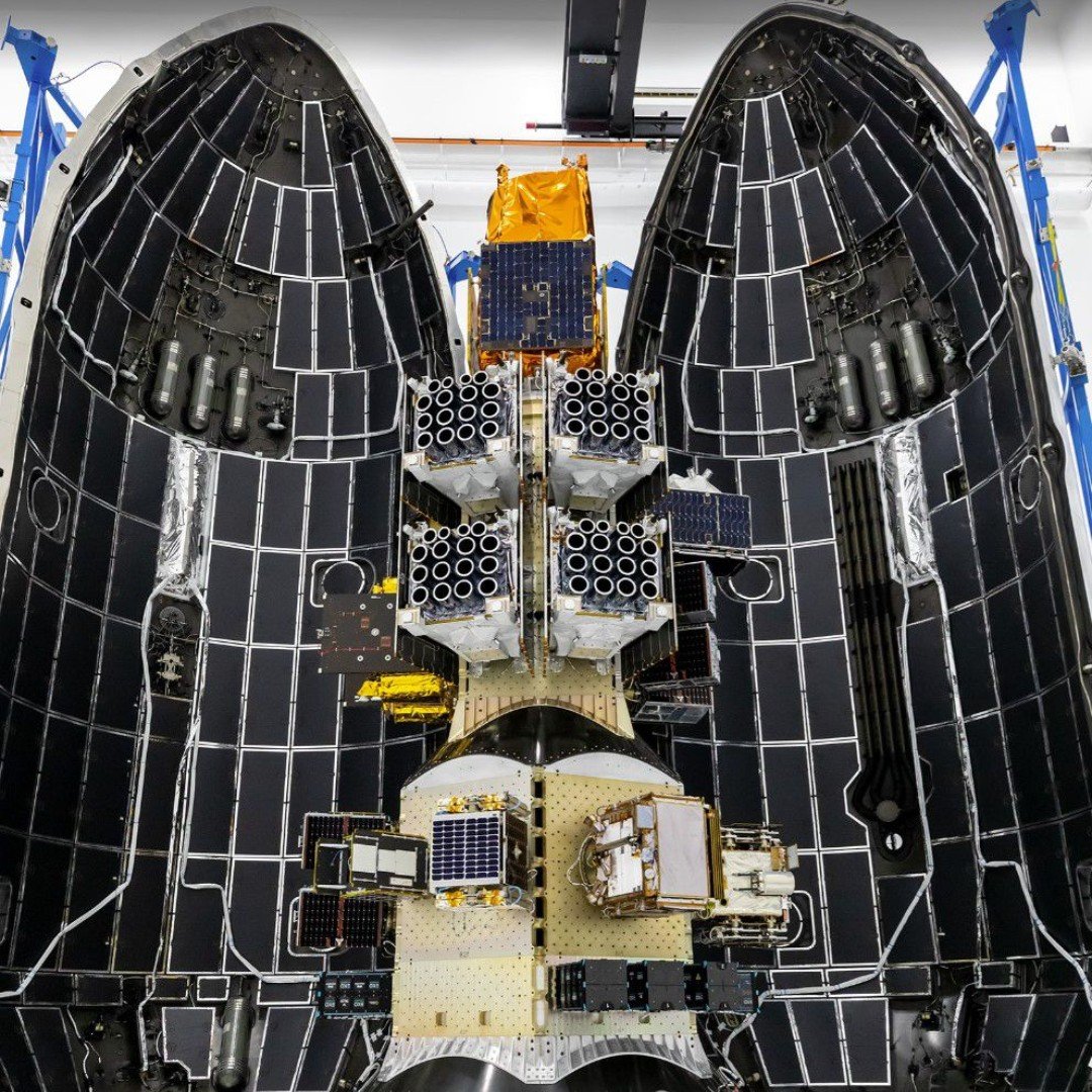
SpaceX Falcon 9 sits on launchpad ahead of the CAS500-2 Mission, on May late night. Image Courtesy of SpaceX
When SpaceX shared launchpad images ahead of the May 3 CAS500-2 rideshare launch, the EarthDaily satellites drew attention for a very visible reason: the circular structures on the spacecraft. Some observers asked what they were. Others noted that the satellites looked like something from science fiction.
Fair enough. They do have a lot of eyes.
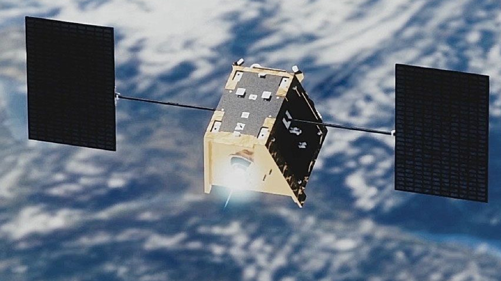
The answer is purely functional. Those are EarthDaily’s cameras and imagers, and they are visible clues to a constellation designed to operate differently from conventional Earth observation systems.
Unlike most commercial optical satellites, which are built around a single or limited number of primary imaging assemblies, each EarthDaily satellite carries 16 imaging systems. With the six satellites launched this week, 96 imagers were added to orbit in a single mission.
Those visible “eyes” are not decorative, though they did earn the nickname on social media. They are central to a mission designed around consistent measurement, not isolated image capture.
The Architecture Behind the Design
This high-density architecture is key to EarthDaily’s mission of measuring change consistently, every day, at a global scale. Because operational decisions require a reliable signal rather than just a snapshot, the system was purpose-built to reduce the data variability often caused by shifting sensors, viewing angles, acquisition times, and illumination conditions.

As EarthDaily CEO Don Osborne explained in a recent interview, variability can come from many places: “It’s just a different satellite, different sensor, different day, different sun angle, different time of day, all those things.”
That is the problem EarthDaily’s architecture was designed to reduce. In practical terms, this means less “spot the difference” and more reliable measurement:
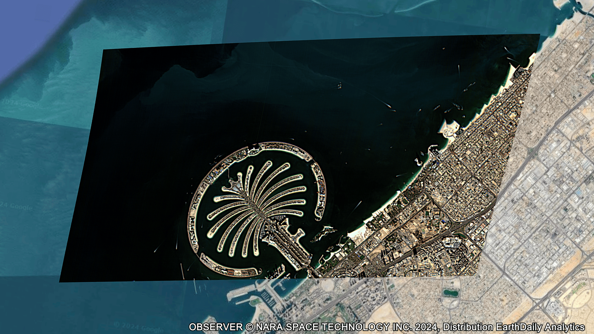
- Wide-Area Collection: 16 imaging systems on each satellite work in tandem to capture a 240 km swath.
- Pixel-Level Consistency: The system is designed around consistency in pixel geolocation, radiometric value, and size, so changes detected over time reflect real ground conditions rather than data artifacts.
- Same-Time, Same-Angle Observation: EarthDaily satellites are designed to image the same locations at roughly the same local time, around 10:30 a.m., from nadir, or straight down, reducing angle-related variability and false change signals.
- Spectral Depth: 22 spectral bands support calibrated measurement across changing surface conditions.
- Science-Grade Calibration: Ongoing cross-calibration against established reference missions such as Landsat and Sentinel supports consistency over time.
- AI-Ready Foundation: A unified time-series dataset designed for advanced analytics and foundation models.
Building the 9+1 Constellation
The CAS500-2 rideshare launch marks a major acceleration in our deployment timeline. With seven satellites now in orbit and stable, we are moving quickly toward the full nine-satellite constellation plus one spare.
The momentum continues through the rest of the year:
- July 2026: An eighth satellite is scheduled for launch, further increasing constellation capacity and revisit.
- Late Summer 2026: The EarthDaily Constellation will enter commercial operations.
- Late 2026: The final two satellites are slated to launch, completing the planned 9+1 constellation.
This rapid scaling marks a pivotal transition point. We are moving from the initial validation of EDC-01 to a fully operational system capable of delivering a daily stream of calibrated measurement at scale, further strengthening our existing portfolio of data and analytics products.
What This Means for Users
The larger purpose is to build a trusted measure of planetary change: a broad-area global change detection system that helps users move beyond fragmented datasets toward a consistent, daily source of measurement.
 For EarthDaily customers, the significance lies in the move toward providing a unified, AI-ready stream of measurement that enables greater scale, accuracy, and automation across customer workflows.
Across governments and commercial markets including agriculture, mining, insurance, and defense, the goal is to support decisions with more consistent, repeatable data. Governments can maintain high-confidence situational awareness and continuously update critical datasets, while commercial users can model risk, forecast outcomes, and optimize operations with greater precision.
This evolution is closely tied to EarthDaily’s investment in AI and foundation models. Predictive intelligence depends on stable input data. A unified, high-quality time-series dataset helps models identify patterns, detect change, and forecast outcomes with improved confidence across mission-critical applications.
As Osborne noted: “Most Earth observation systems were built to capture images. We built EarthDaily to measure change. With this second launch and successful contact across multiple satellites, we are moving quickly toward delivering a consistent, daily understanding of the planet that customers can rely on to act with confidence.”
Those circular structures on the launchpad were not mystery ports, sci-fi props, or extra cupholders for space. They were a glimpse into the architecture behind EarthDaily’s daily measurement mission.
With the full 160 coordinated imagers soon working together, we are delivering the foundation for AI-ready geospatial intelligence at scale.
A lot of eyes on Earth, by design.
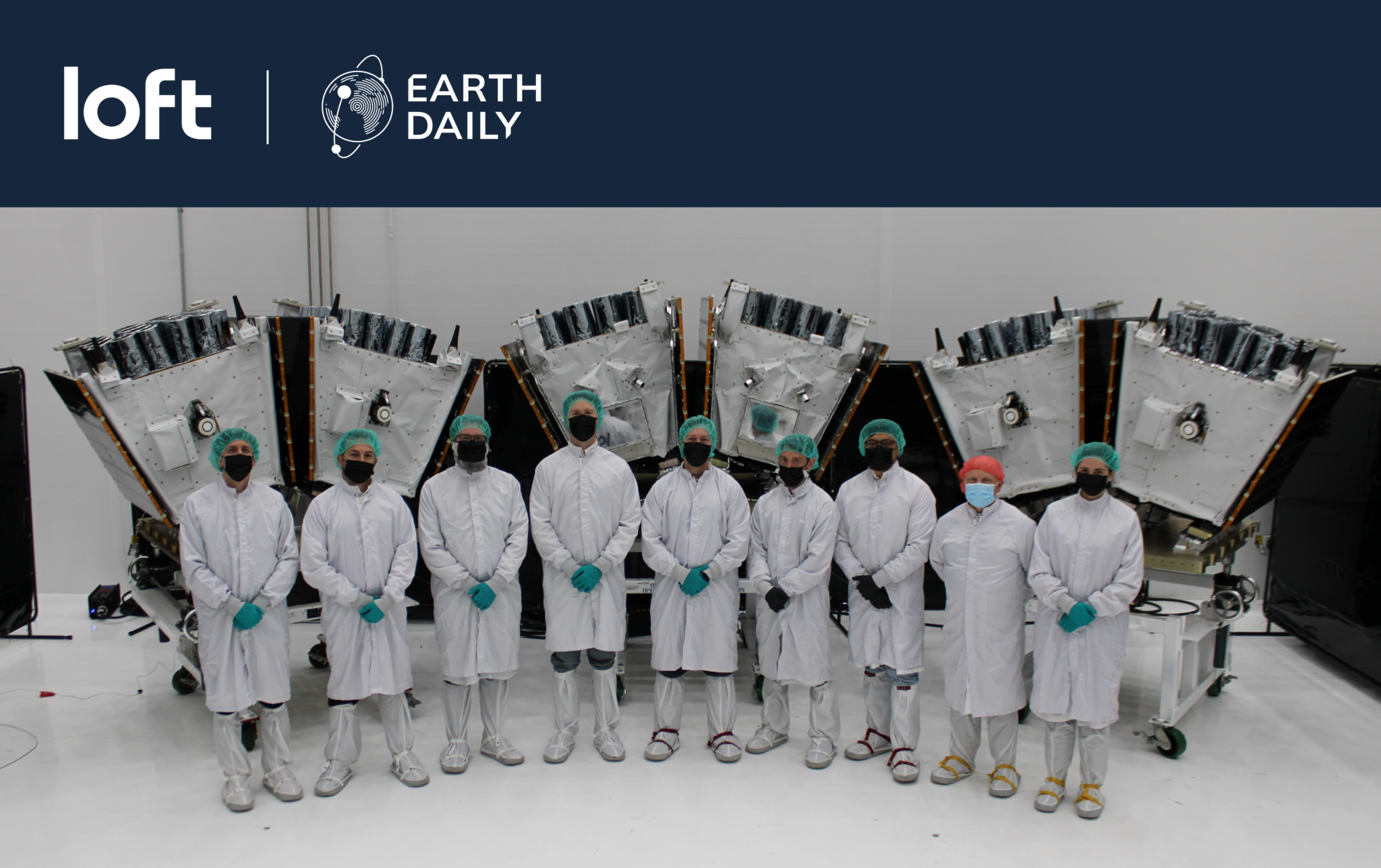
Grateful to our mission partners ABB, Loft Orbital, Airbus, INO, and Xiphos, and to the many teams who helped bring this hardware from design to orbit.
About the Author