.jpg?width=289&height=168&name=Data%20Use%20cases%20(1).jpg)

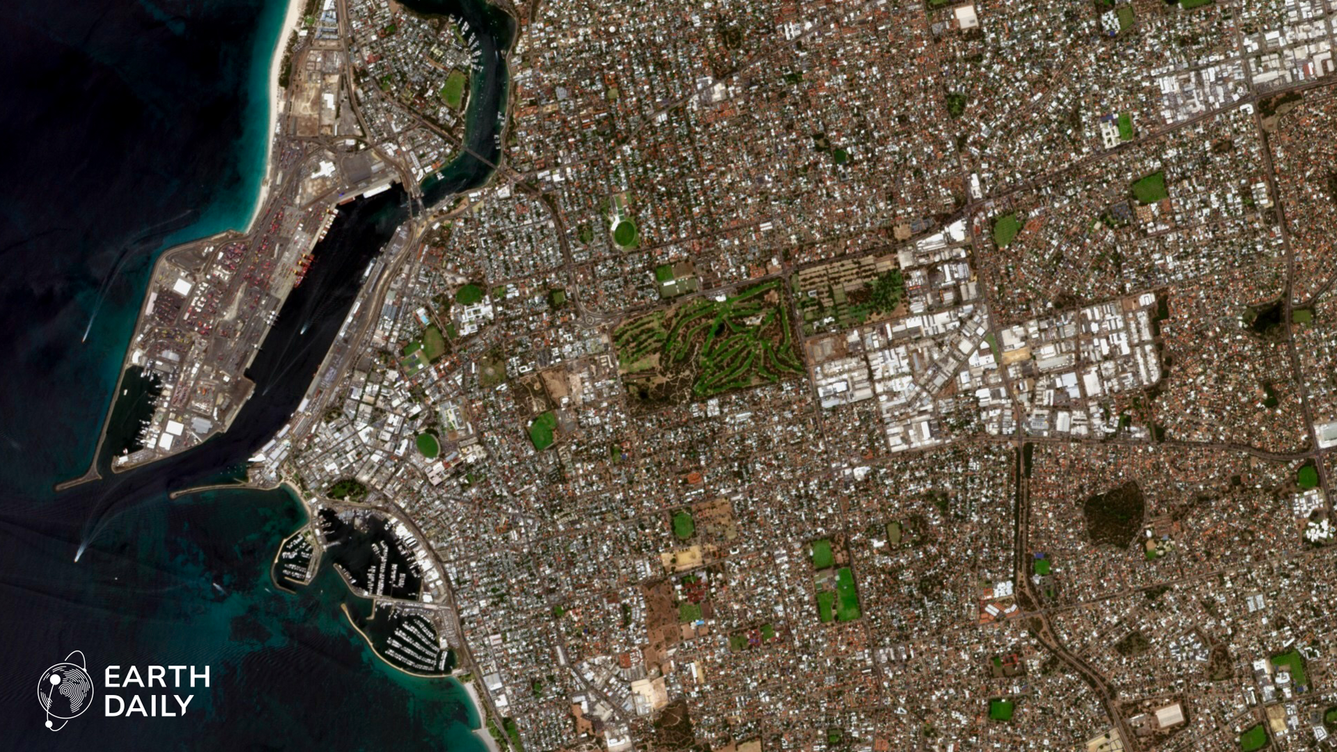
Dubai, captured by EarthDaily’s EDC-01 in February 2026.
EarthDaily’s architecture was shaped by a gap in the Earth observation market: the need for daily, scientifically reliable imagery at global scale. That requirement, first driven by agriculture, led to the design of a constellation built to deliver consistent, calibrated measurements across large areas over time. This is part of a four-part series adapted from a feature first published in SpaceNews: Engineering Behind EarthDaily: Solving for Global Daily Coverage, Scientific Quality, and High-Spectral Diversity.
To understand what has been built, it is necessary to understand the gap it was designed to solve. Agriculture companies needed something that doesn’t exist: daily, scientifically reliable imagery with stable radiometry and geometry. They needed data they could trust at scale to support farmers and agronomic decisions.
That same gap is being felt across other industries: the geospatial market lacked a system capable of delivering daily, broad-area coverage with science-grade radiometric and geometric stability and relatively high resolution (e.g., 5 m). No commercial provider can deliver that combination of frequency, coverage, resolution, and scientific measurement rigor.
That requirement is the foundation of the EarthDaily Constellation — trust over time.
Our first concept focused on five core VNIR spectral bands at 5 m GSD with daily global land mass coverage aimed at agricultural monitoring. Our objective was repeatable, calibrated measurement across vast land areas and across seasons.

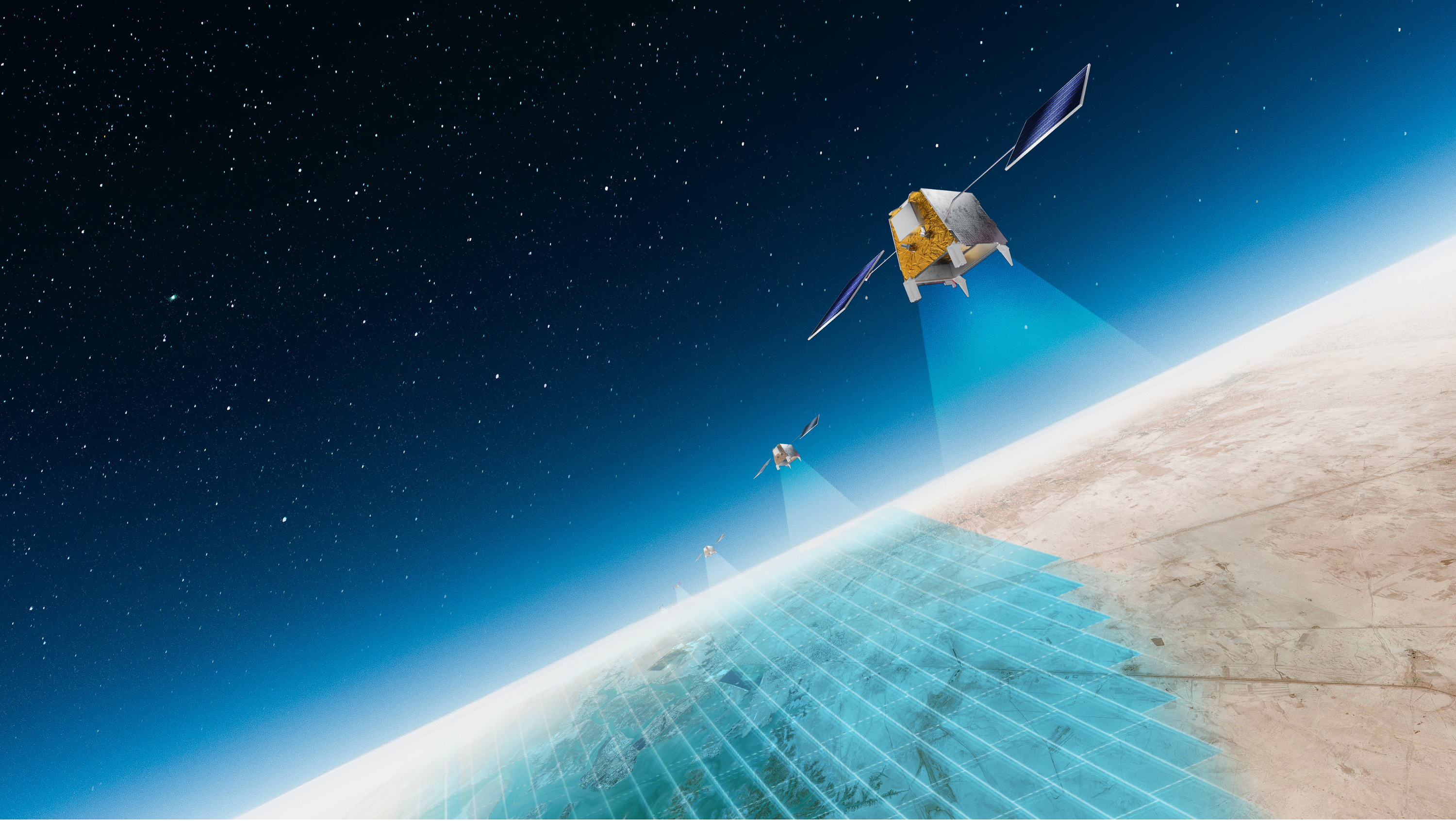
The EarthDaily Constellation spans 22 spectral bands across visible, near infrared, shortwave infrared, and thermal infrared.
From that starting point, the spacecraft evolved into the 16 imager and 22-band design, covering a very broad spectral range that includes VNIR, SWIR and Thermal. The band selection was driven by measurement quality, atmospheric characterization, water vapor correction, improved cloud masking, and reliable separation of cloud from snow and the ability to accurately cross-calibrate to other ultra-high quality science satellites.
This spectral band combination provides for much improved image product quality and information richness important to many applications. Many of the bands are used to improve the ability to compensate for the atmosphere and to provide superior cloud masks.
A longer design life, higher quality, and continuously maintained orbit at the same time every day became crucial to achieving the core tenet of our mission: providing a consistent, science-grade foundation for long term change detection.
Agriculture was the forcing function that shaped the architecture; the philosophy scaled far beyond agriculture into many other applications.
A Launch is the Starting Gun, Not the Finish Line
We launched our first satellite in June 2025. The satellite has since been used for commissioning and calibration campaigns, and the first early imagery from the EarthDaily Constellation was released on February 19, 2026.
For a science-class mission, launch is not the milestone many assume. It is the starting gun for commissioning, calibration, validation, and processing pipeline hardening. We have been using this satellite to optimize our automated data processing and calibration pipelines and also our largely automated satellite operations architecture. A high level of autonomy is required since the constellation will be imaging at an enterprise scale with roughly one hundred terabytes per day acquired across tens of thousands of acquisitions.
Satellite bus and payload control, onboard data management, downlink, our ground systems and the global image acquisition coordination must function as a highly automated integrated system.

Alcoa Pinjarra Refinery, Australia, captured by EarthDaily’s EDC-01.
We launched the first satellite EDC-01 early to provide the opportunity to thoroughly check-out the satellite and optimize the onboard and ground automation software, characterize the imagers and prepare for high volume extensive calibration campaigns and to refine all operating procedures before our next batch of 6 satellites are launched (scheduled for May 2026).
Since the launch of EDC-01, we have undertaken the following:
- Thoroughly checked out all bus and payload subsystems and imagers
- Validated the constellation control and constellation management software and the ground processing technology stack
- Demonstrated sustained imaging operations for different imaging modes and satellite control modes
- Characterized the satellite imagery and optimizing the processing algorithms
- Optimizing the spacecraft and payload software and ground software to validate and improve our automation capability
Producing pixels is not the bar. Meeting scientific measurement quality — consistently and repeatedly — is. That is the standard we are focused on delivering to our data customers.
Explore early imagery from the EarthDaily Constellation in this PDF.
More in this series: