.jpg?width=289&height=168&name=Data%20Use%20cases%20(1).jpg)
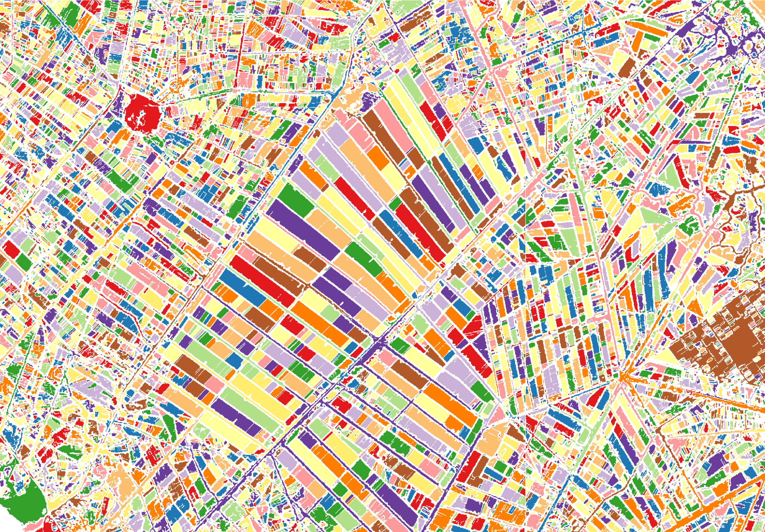
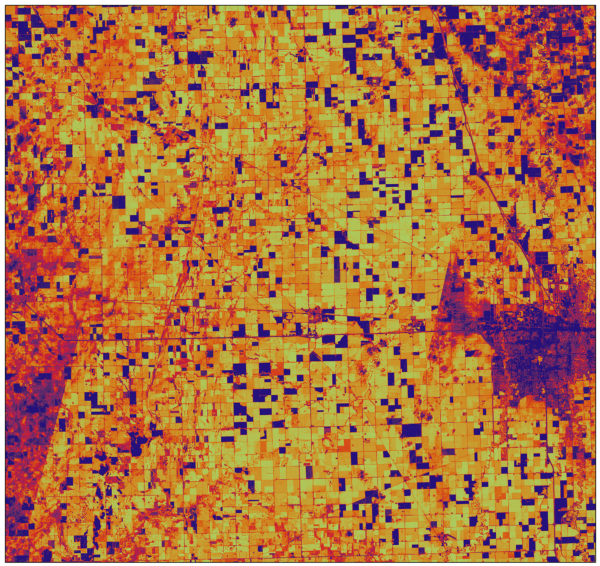
Several bins of varied winter vegetation cover are defined using NDVI thresholds in Pennsylvania Des...
Several bins of varied winter vegetation cover are defined using NDVI thresholds in Pennsylvania Des...
How to remotely monitor supply and demand to make better business decisions in times of economic dis...
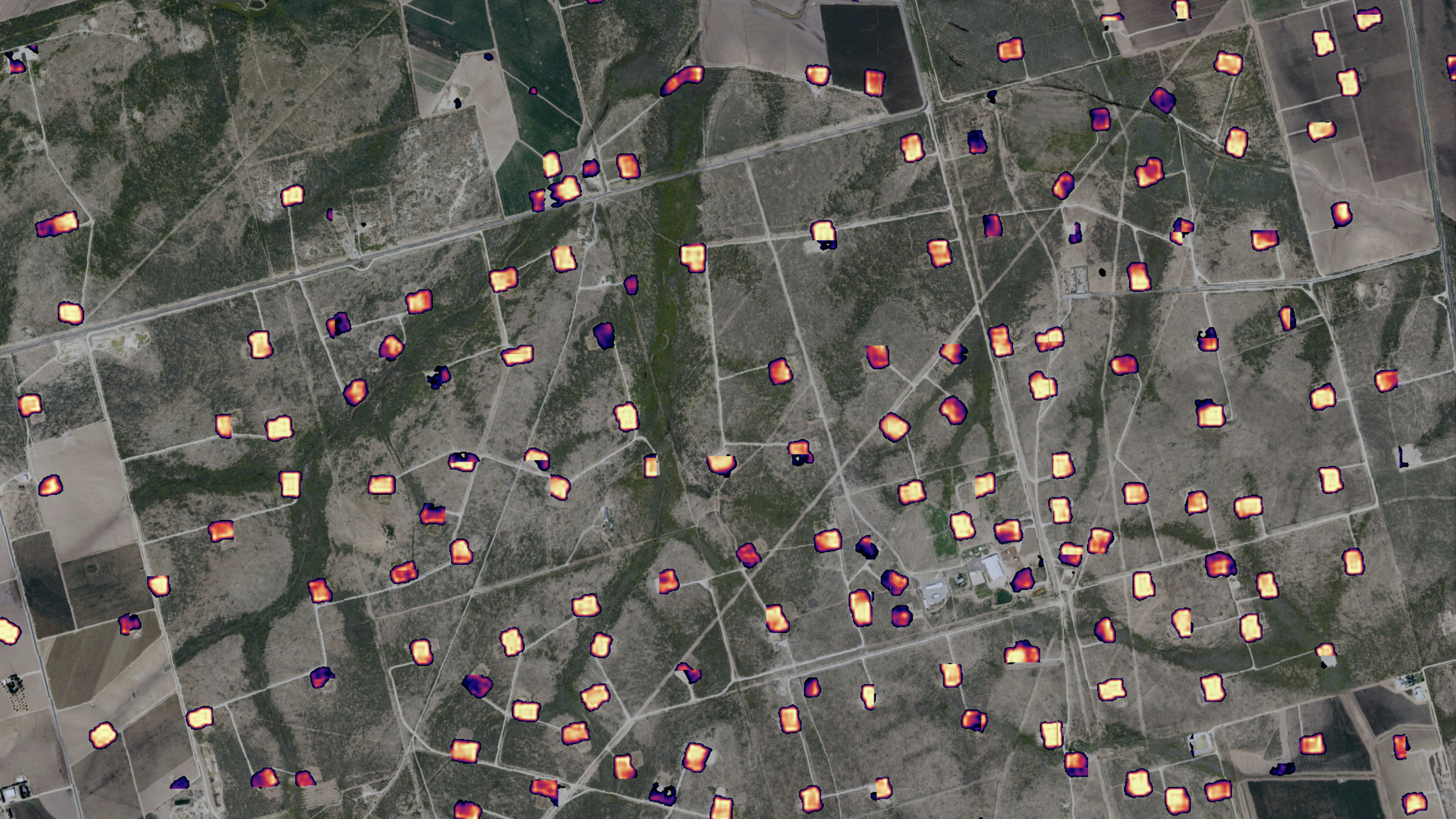
Creating Actionable Intelligence for the Oil & Gas Sector by Fusing Commercial and Proprietary D...
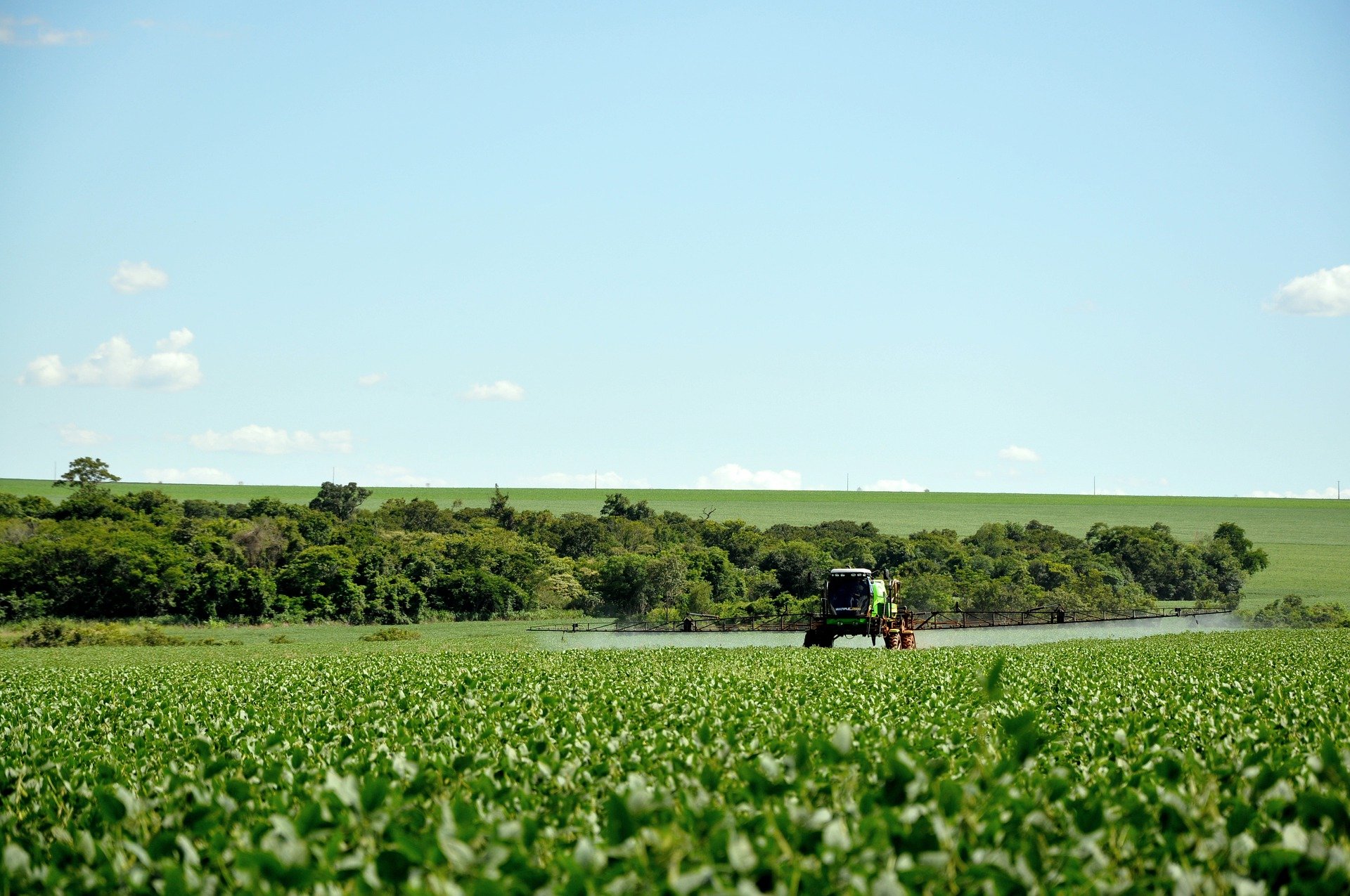
At Descartes Labs, we got our start modeling agricultural yields using data from satellites. Along t...
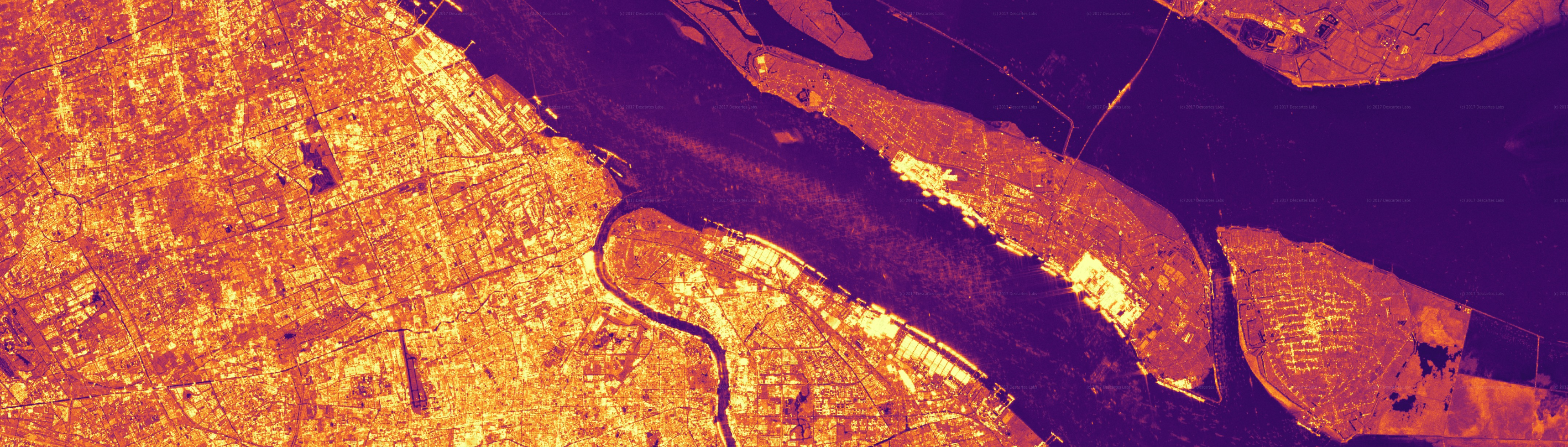
Supply chain is an interesting term. What is it? It is the chain of events, vendors, logistics, purc...
Descartes Labs’ weekly forecast for U.S. corn and soy yields Last month, we were excited to unveil o...
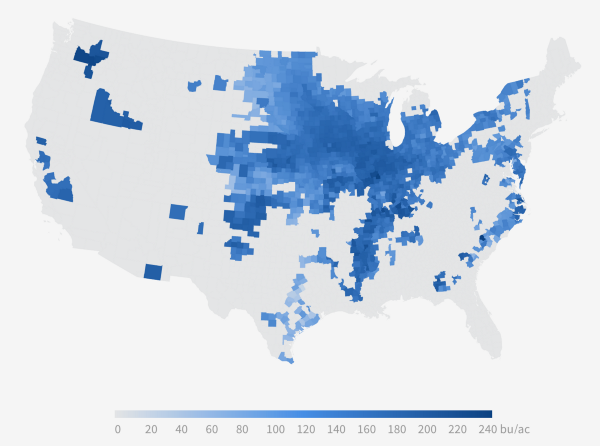
Today, Descartes Labs is releasing our 2016 U.S. Corn Yield Forecast. Not only is this year’s corn m...
