


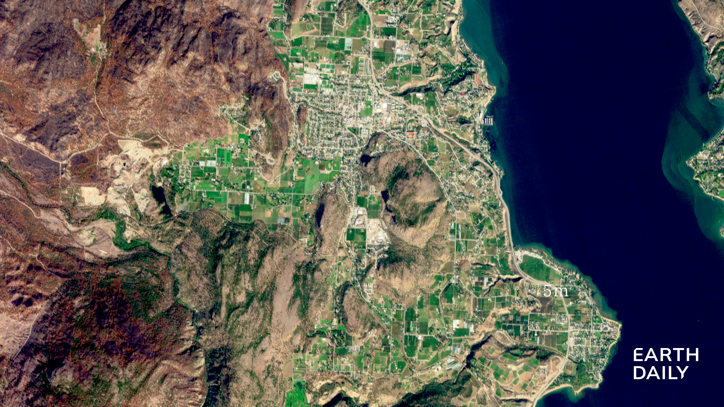

Burn scars from the Bald Range wildfire near Summerland, BC, Canada. Image acquired September 17, 20...
Burn scars from the Bald Range wildfire near Summerland, BC, Canada. Image acquired September 17, 20...
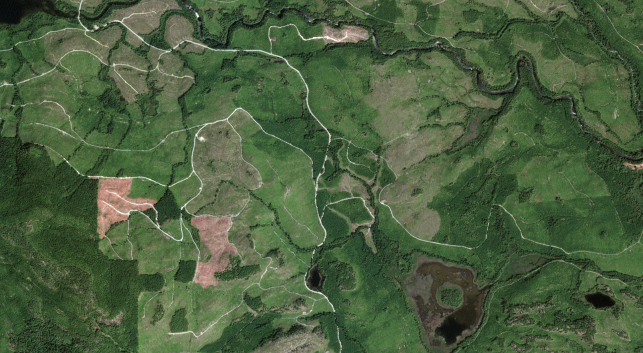
Port Alberni, Vancouver Island. Captured by EarthDaily Constellation in June 2026 Standing offer est...
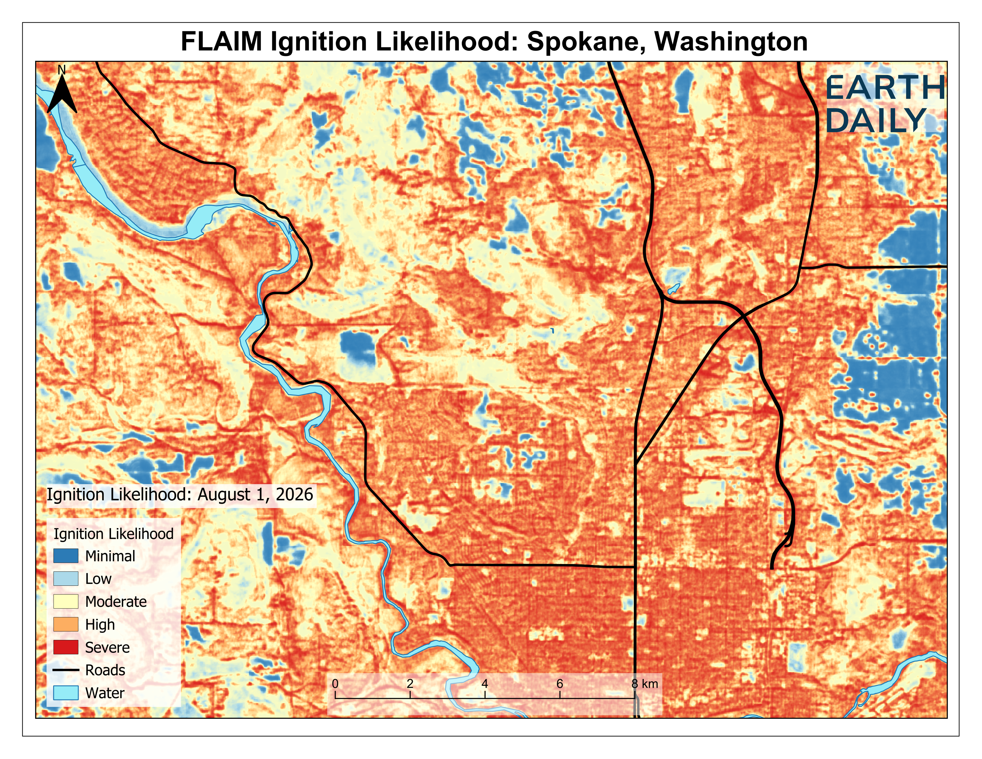
EarthDaily’s Fire Likelihood AI Model (FLAIM) shows a monthly composite of wildfire ignition likelih...
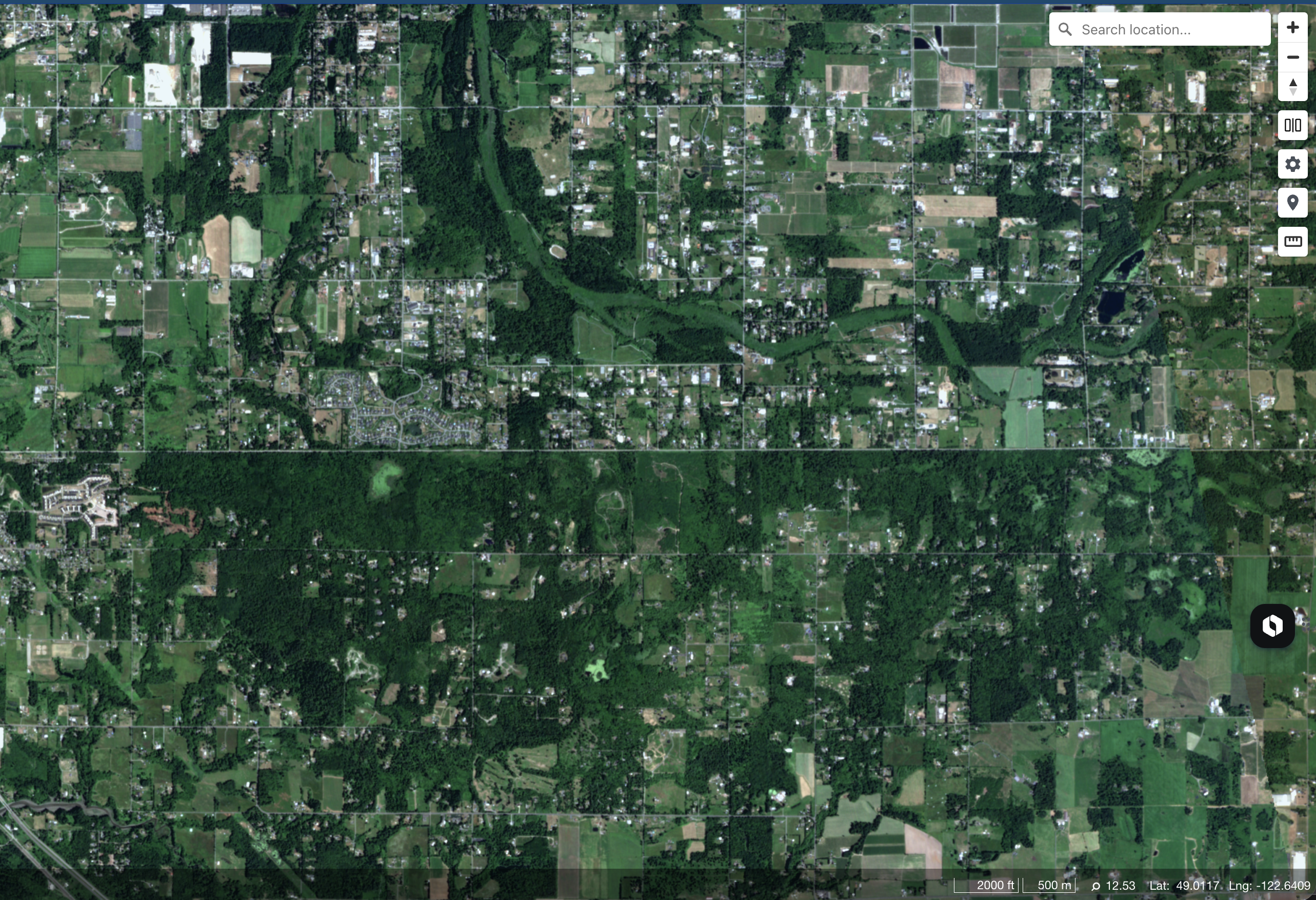
BC/Washington border. Captured by EarthDaily Constellation June 17, 2026 SMATAK project will explore...
EDC-08 launched aboard SpaceX Transporter-17 as EarthDaily releases first imagery from EDC-02 throug...
NRO Director Pete Muend announces EarthDaily’s selection for a Commercial Solutions Opening contract...
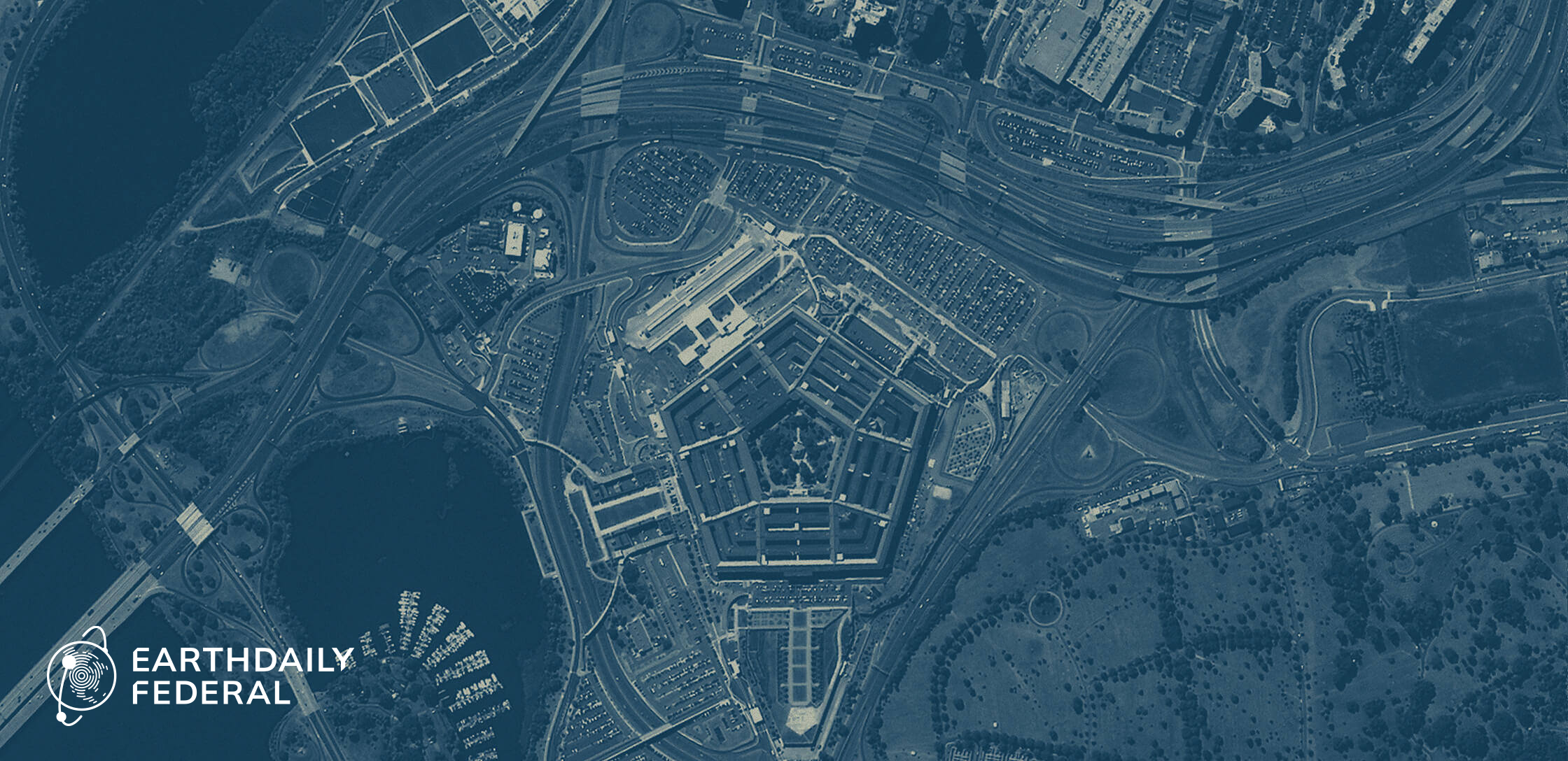
Participation strengthens role in advancing trusted, AI-ready Earth intelligence for U.S. mission re...
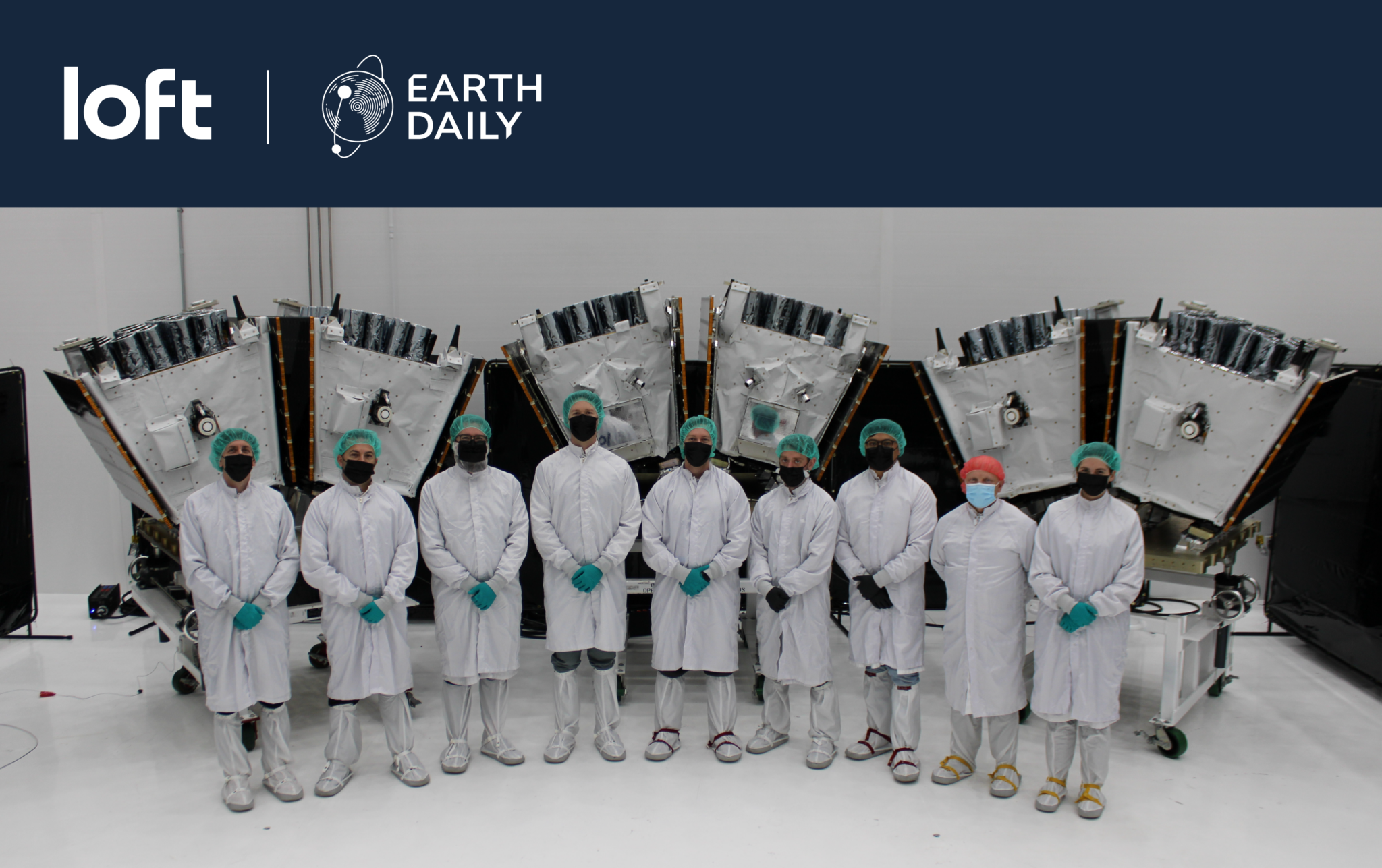
Loft Orbital (“Loft”), a global space infrastructure company, andEarthDaily Analytics (“EarthDaily”)...

Agreement highlights growing demand for calibrated, consistent data powering AI-driven Earth intelli...
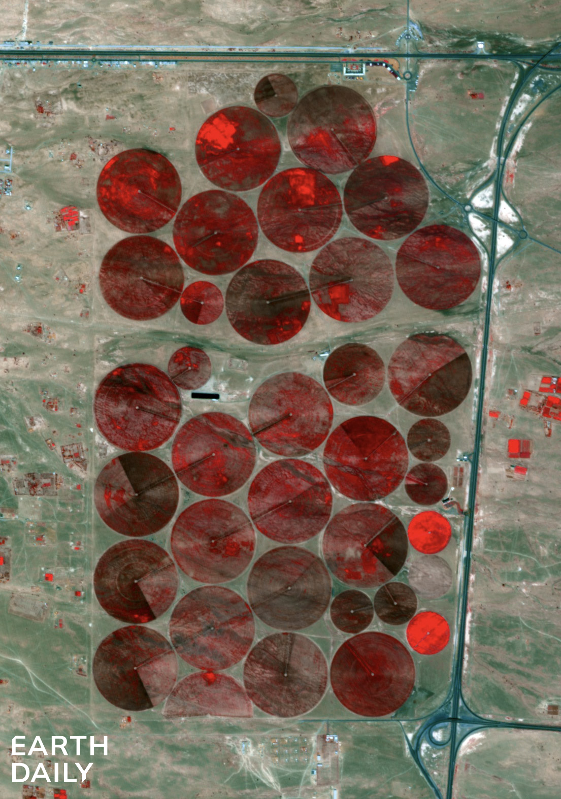
Irrigation fields in false color captured by EDC-01 in Feb 2026