.jpg?width=289&height=168&name=Data%20Use%20cases%20(1).jpg)
Why GEOINT’s Next Advantage Depends on Trusted Measurement
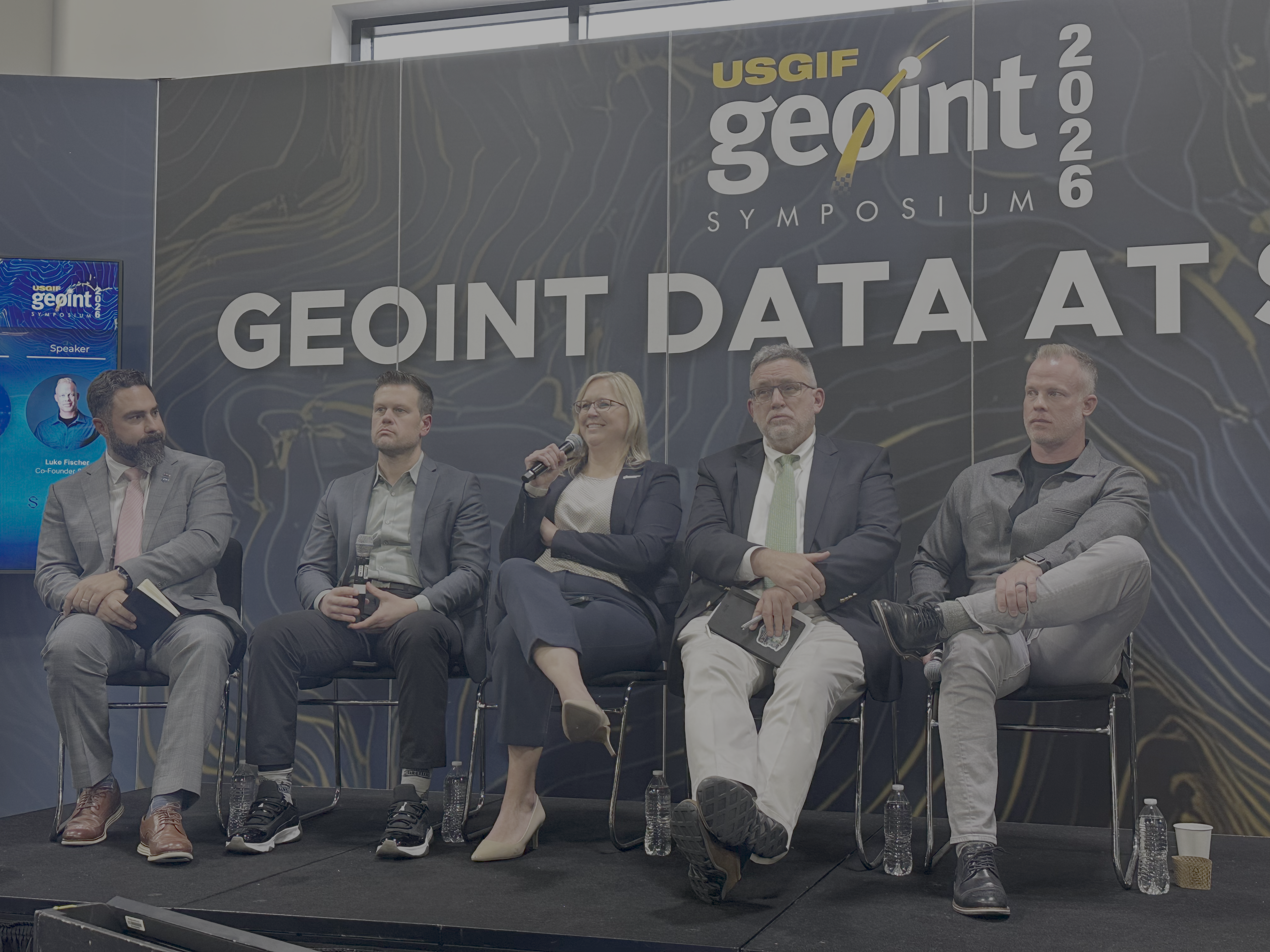
Nicole Toigo, President of EarthDaily Federal, joins industry leaders at GEOINT Symposium 2026 for a panel discussion: Reducing Latency in GEOINT Workflows: Architectures That Shift Analysts From 'Data Hunting' to 'Data Connection'
If you listened to the pulse of the opening conversations at GEOINT 2026 in Aurora, one thing came through bluntly: the era of the “homeland sanctuary” is over. Threats to the homeland are now part of the operational picture, and domain awareness has to extend from seabed to space.
But the harder question is what comes next. More sensors matter. More imagery matters. But neither automatically creates a decision advantage. In the environment GEOINT now faces, the real edge is separating signal from noise fast enough to shape a decision.
For the GEOINT community, this should force a shift in how we think about Earth observation. The next advantage will not come from simply adding more collection. It will come from building trusted measurement infrastructure: persistent, calibrated, AI-ready data that can move from observation to decision without forcing analysts to fight the data first.
Five signals stood out for how we think about Earth observation now.
Seeing More Is Not the Same as Deciding Faster
Visibility is only the starting point. A sensor can show that something happened. That does not mean the system can explain whether it matters, whether it is part of a larger pattern, or whether it should trigger action.
That is where the GEOINT conversation is shifting. Collection still matters. Speed depends on what happens next: how quickly change is detected, how much confidence exists in the signal, and how easily that information moves into operational workflows.
That becomes even more important when the operating picture is changing quickly. A delayed answer can become irrelevant. A noisy signal can send attention in the wrong direction. A fragmented data layer can slow the decision cycle GEOINT is meant to accelerate.
The mission now is to see first, understand quickly, and act in time.
AI Is Now Part of the Operating Model
AI is no longer a side conversation but becoming an integral part of how organizations think about detection, prioritization, workflow support, and decision speed.
AI will only be as useful as the data it is working with. If the input changes because the sensor changed, the angle changed, the time of day changed, or the processing changed, the model may still produce an answer. The problem is whether anyone should trust it.
That matters because AI can make weak inputs look more decisive than they are. A model can flag a change, rank a priority, or generate a recommendation, but if the measurement underneath is unstable, the confidence becomes difficult to defend.
That is the data problem GEOINT cannot skip. For AI to help at operational speed, the underlying measurements have to be consistent enough to compare, automate, and act on.
The Less Glamorous Work Still Matters
GEOINT is often discussed through the lens of advanced targeting, exquisite collection, and high-end AI. But much of the mission is still basic, necessary work: keep the map current, watch the places that matter, notice what changed.
The problem is that the data often makes that harder than it should be. Different sources. Different formats. Different collection conditions. Analysts lose time making the inputs usable before they can get to the actual question.
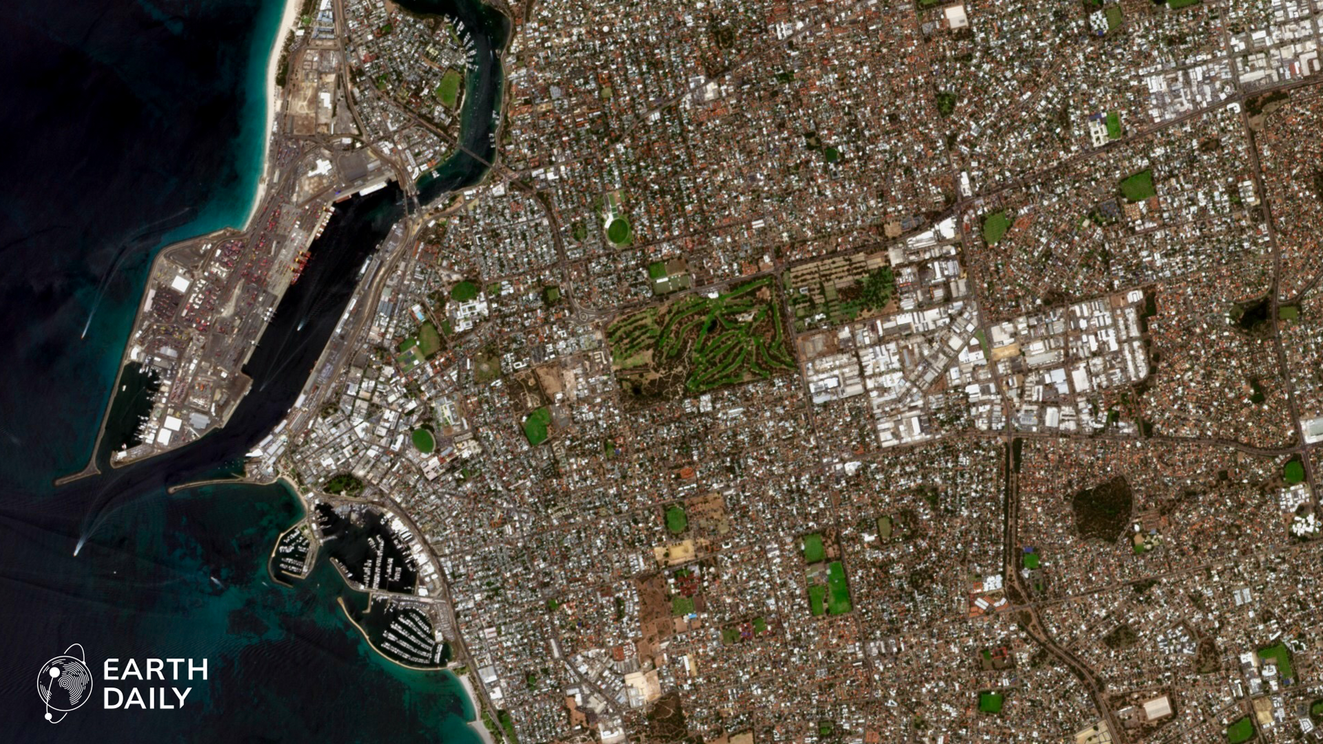
This is where a consistent, daily time series becomes important. You cannot automate the basics if the input data keeps shifting underneath the workflow. Persistent, calibrated, repeatable measurement gives both machines and people a stronger foundation to detect change and act with confidence.
Analysts Need Less Data Friction
The Earth observation industry has spent years optimizing for access: more imagery, more pixels, more tasking options, faster delivery. Those capabilities still matter, but they are no longer enough for the environment GEOINT now faces.
The next requirement is operational consistency. Data has to be collected and prepared in ways that make change easier to detect, compare, automate, and trust. That means repeatable geometry, calibrated measurement, broad-area coverage, and time series designed for AI from the beginning.
For senior leaders, this is the decision point. GEOINT systems cannot keep treating data preparation, normalization, and validation as downstream burdens. If AI is going to support operational decisions, trust cannot be patched in at the end. It has to start with the data itself.
Human Judgment Is Still the Deciding Layer
One of the most provocative questions raised at the symposium was whether GEOINT is moving toward a future without human analysts. The answer was more grounded than dramatic.
Machines are getting better at detecting what changed, where it changed, and when. In narrow, labeled cases, machine-generated reporting is already part of the workflow. But operational judgment is still human work. Context, consequence, intent, risk, and the next decision do not belong fully to the machine.
That distinction matters. The goal is not to remove people from GEOINT. It is to remove friction from the data environment so analysts can spend less time wrestling with inputs and more time applying judgment.
The Bottom Line
The message is clear: if we cannot see it, we cannot engage it. But seeing is only the first step. The harder work is knowing whether the change is real, whether it matters, and whether it can support a decision in time.
At EarthDaily and EarthDaily Federal, this is the problem we are building for: not more scenes for analysts to sort through, but a daily, calibrated measurement layer that helps them see what changed, trust the signal, and move faster.
That is the GEOINT shift now underway. It is also the reason Earth observation has to evolve from a collection business into decision infrastructure.
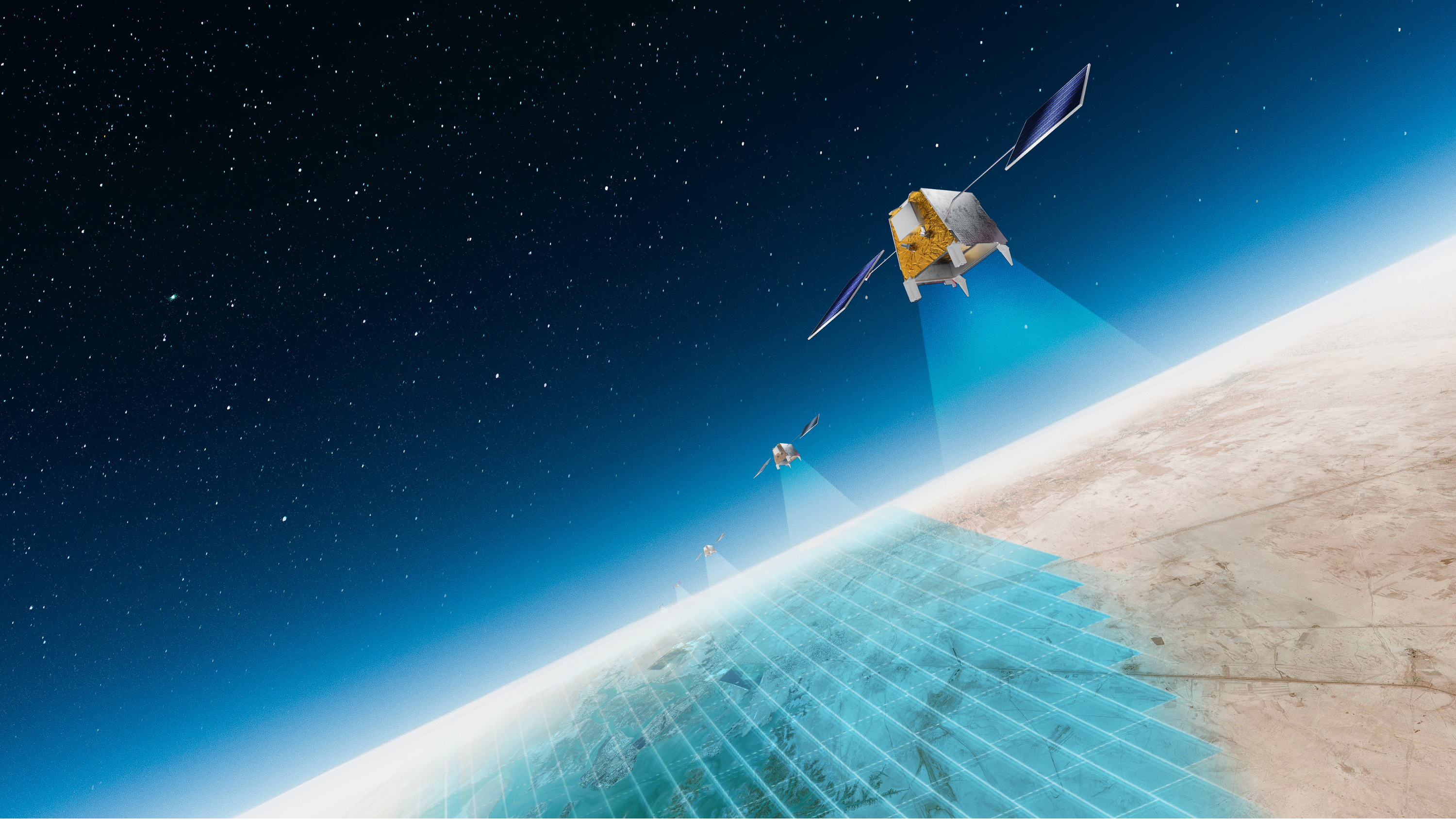
With seven EarthDaily satellites now in orbit following our latest successful launch, the EarthDaily constellation is moving closer to commercial operations targeted for summer 2026. For us, that milestone is part of a larger mission: helping make consistent, science-grade Earth observation data more usable for change detection, AI workflows, and operational decision-making.
About the Author