.jpg?width=289&height=168&name=Data%20Use%20cases%20(1).jpg)
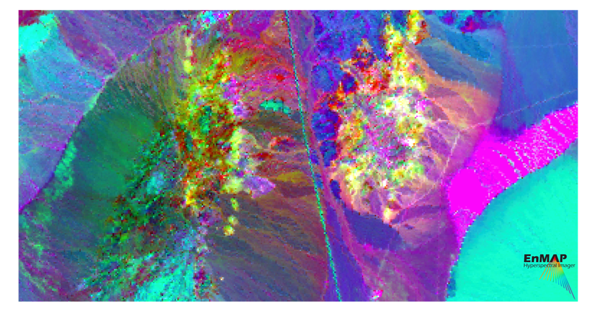
Authors: Samuel Casement, Spectral Geologist; Lori Wickert, Principal Remote Sensing Geologist

Authors: Samuel Casement, Spectral Geologist; Lori Wickert, Principal Remote Sensing Geologist
New York, NY; May 3, 2024 - Descartes Labs and its subsidiary, Descartes Labs Government, has select...
Market Insights Overview: Descartes Labs' advanced geospatial insights uses quantitative models for ...
Press Release Santa Fe, New Mexico; April 2, 2024 - Descartes Labs, a leading provider of geospatial...
Market Insights Overview: Descartes Labs' advanced geospatial insights uses quantitative models for ...
Market Insights Overview: Descartes Labs' advanced geospatial insights uses quantitative models for ...
Market Insights Overview: Descartes Labs' advanced geospatial insights uses quantitative models for ...
Market Insights Overview: Descartes Labs' advanced geospatial insights uses quantitative models for ...

Market Insights Overview: Descartes Labs' advanced geospatial insights uses quantitative models for ...

Market Insights Overview: Descartes Labs' advanced geospatial insights uses quantitative models for ...
Technology Overview: At the core of Descartes Labs’ technology is a powerful end-to-end geospatial m...
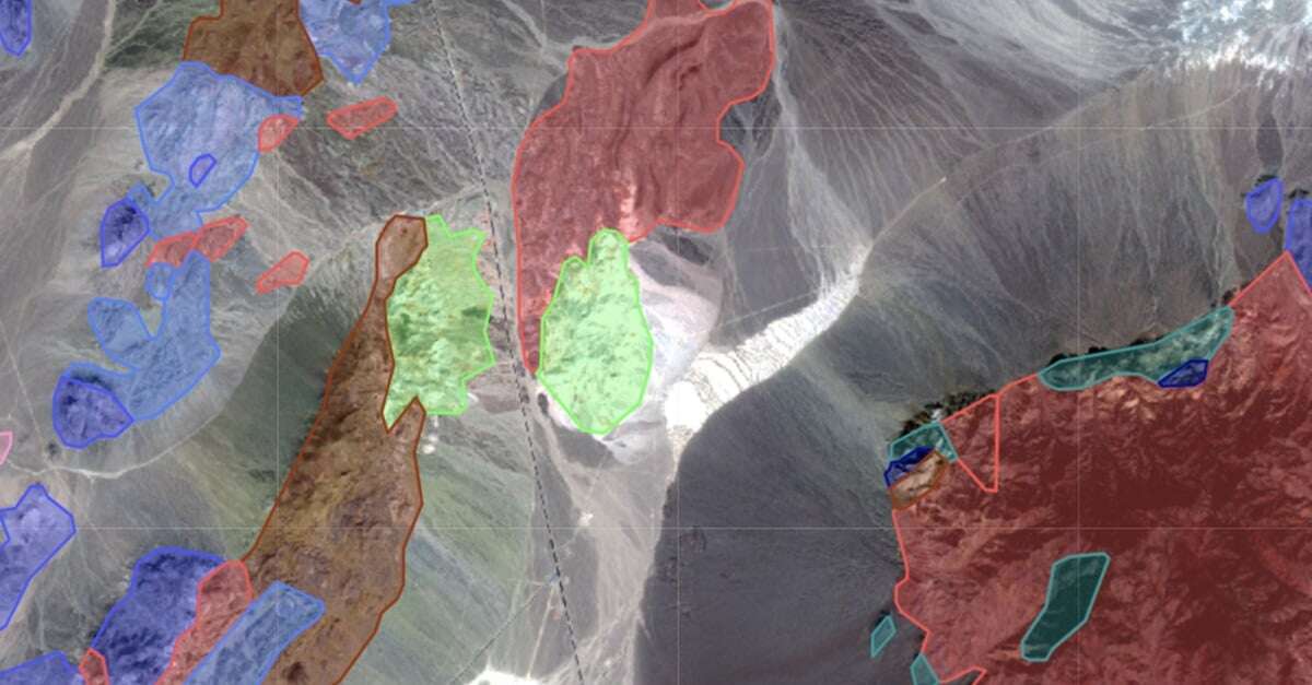
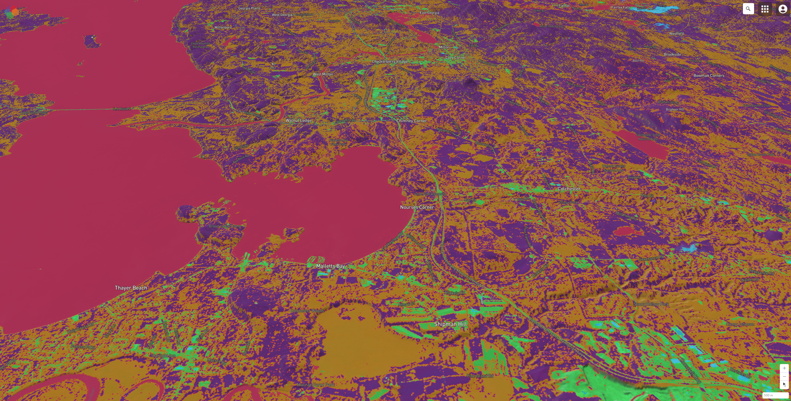
Product Overview: Marigold is a GIS-like user interface, built for the exploration geologist, which ...