.jpg?width=289&height=168&name=Data%20Use%20cases%20(1).jpg)
Impact Forecasting Selects EarthDaily Wildfire Intelligence to Support Catastrophe Modeling Across Canada
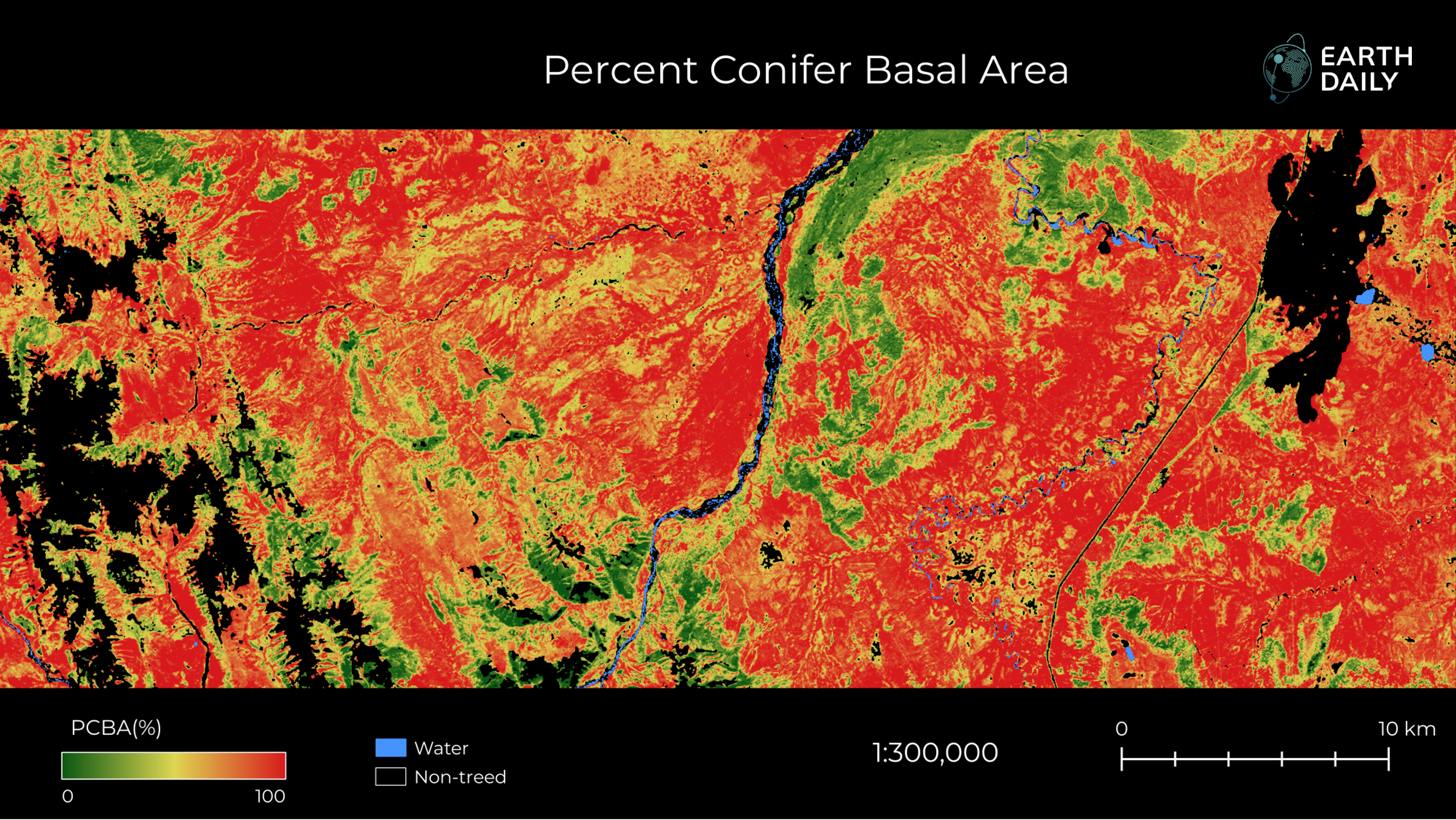
EarthDaily fuel data is contributing to improved model accuracy, with an ongoing collaboration supporting the development of additional wildfire risk analytics.
For insurers using catastrophe models, wildfire risk has to be understood across the portfolio. How much could an insurance portfolio lose in a severe wildfire year, and does the insurer have sufficient capital and reinsurance to withstand those losses?
Impact Forecasting, Aon’s catastrophe model development team, is developing a Canadian wildfire catastrophe model to help its insurance clients assess that risk. The model runs simulations of many thousands of ignitions, fires and weather scenarios to help insurers assess potential losses across their portfolios, including probable maximum loss (PML).
Impact Forecasting selected EarthDaily’s model-ready wildfire fuel data as an input to that work. EarthDaily’s wildfire analytics team is also working with Impact Forecasting to provide additional wildfire risk analytics as development of the model continues.
Characterizing the Fuel Behind Wildfire Risk
Fuel, topography and weather drive wildfire risk. Accurately characterizing the fuel component requires good information about the vegetation present across the landscape.
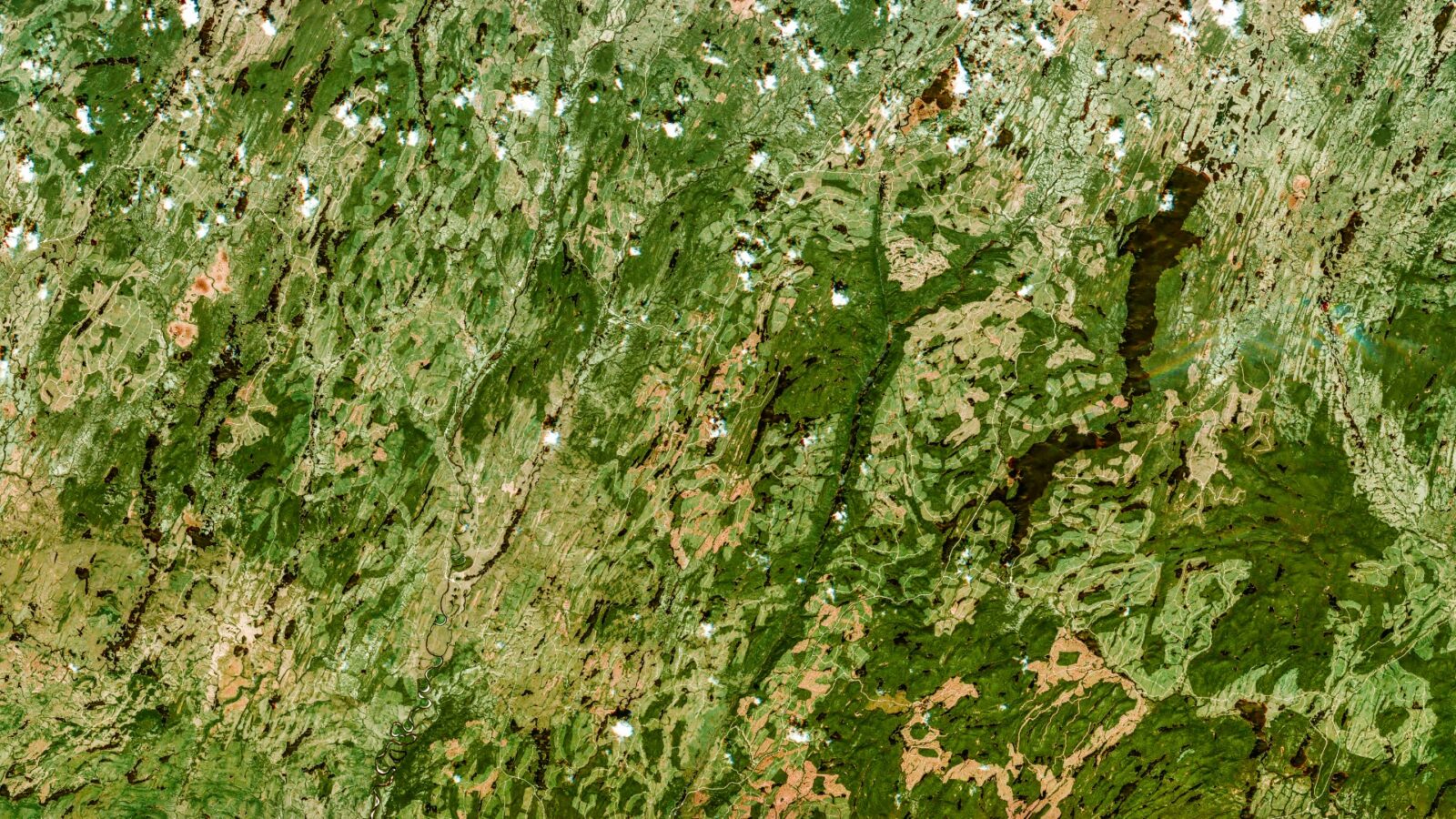
One of the EarthDaily inputs being used by Impact Forecasting is Percent Conifer Basal Area (PCBA). PCBA measures the share of forest basal area made up of coniferous trees, providing information about fuel composition and the distribution of conifers across the landscape.
Conifers are more combustible because of the resins they contain, while deciduous trees generally have higher moisture content. Understanding the distribution of conifers therefore helps modelers more accurately characterize fuel conditions.
“Percent Conifer Basal Area is a key input in modelling wildfire risk, and our evaluation showed that EarthDaily’s wildfire fuel layers contributed to better accuracy in our model. Validation against several recent wildfires gave us confidence that the data could strengthen our modelling workflows across Canada. We look forward to ongoing collaboration with the EarthDaily team on other wildfire risk analytics products,” said Radek Solnický, Statistical Lead, Flood and Wildfire Model Developer, Impact Forecasting.
From Wildfire Hazard to Portfolio Loss
Fuel data helps characterize wildfire hazard. The potential losses to an insurer also depend on the value and concentration of insured properties exposed to that hazard.
If an insurance portfolio is well distributed and not overly concentrated in high wildfire-risk areas, its PML will generally be lower than that of a portfolio with concentrations of insured properties in areas where a wildfire could affect many of them.
Catastrophe models bring those dimensions together. By modeling potential wildfire events against the geographic distribution and value of insured properties, insurers can assess the range of potential losses across their portfolios, including PML. That analysis can then help them determine whether they have sufficient capital and reinsurance to cover that risk.
Good fuel data is an important input to that process. EarthDaily’s PCBA provides nationally consistent, model-ready information about forest composition to support Impact Forecasting’s characterization of wildfire risk across Canada.
“Catastrophe models are only as accurate as the inputs they run on. Accurately characterizing wildfire risk across Canada requires detailed and consistent information about the fuels on the landscape. Our PCBA product gives Impact Forecasting a proven, model-ready source of fuel intelligence for its Canadian wildfire model,” said Phil Green, Vice President of Forestry, EarthDaily.
Building the Model Over Time
The work with Impact Forecasting extends beyond PCBA. EarthDaily’s wildfire analytics team is collaborating with Impact Forecasting to provide additional wildfire risk analytics that complement the fuel data.
The collaboration is expected to continue over several years as Impact Forecasting develops its model and EarthDaily builds out additional wildfire analytics using data from its satellite constellation.
For Impact Forecasting’s insurance clients, the objective is to understand wildfire risk across their overall portfolios: the losses they could face, how concentrations of insured properties in higher-risk areas could affect those losses and whether they have sufficient capital and reinsurance to withstand them.
EarthDaily will continue providing fuel intelligence and additional wildfire risk analytics to support Impact Forecasting as it develops the model.
About the Author