.jpg?width=289&height=168&name=Data%20Use%20cases%20(1).jpg)

Market Insights Overview: Descartes Labs' advanced geospatial insights uses quantitative models for ...
Market Insights Overview: Descartes Labs' advanced geospatial insights uses quantitative models for ...
Market Insights Overview: Descartes Labs' advanced geospatial insights uses quantitative models for ...
Market Insights Overview: Descartes Labs' advanced geospatial insights uses quantitative models for ...
Market Insights Overview: Descartes Labs' advanced geospatial insights uses quantitative models for ...
Market Insights Overview: Descartes Labs' advanced geospatial insights uses quantitative models for ...

Market Insights Overview: Descartes Labs' advanced geospatial insights uses quantitative models for ...

Market Insights Overview: Descartes Labs' advanced geospatial insights uses quantitative models for ...
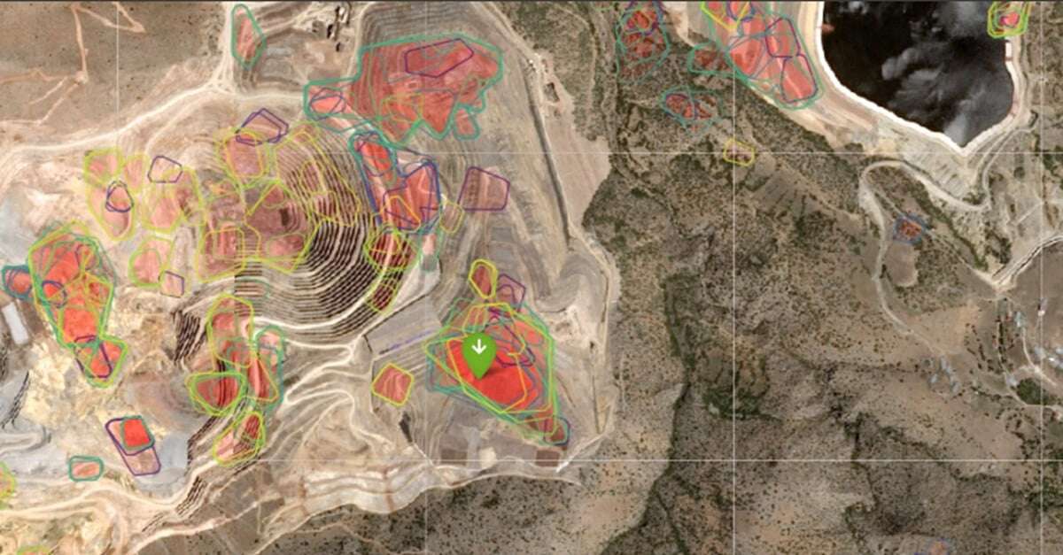
Technology Overview: At the core of Descartes Labs’ technology is a powerful end-to-end geospatial m...
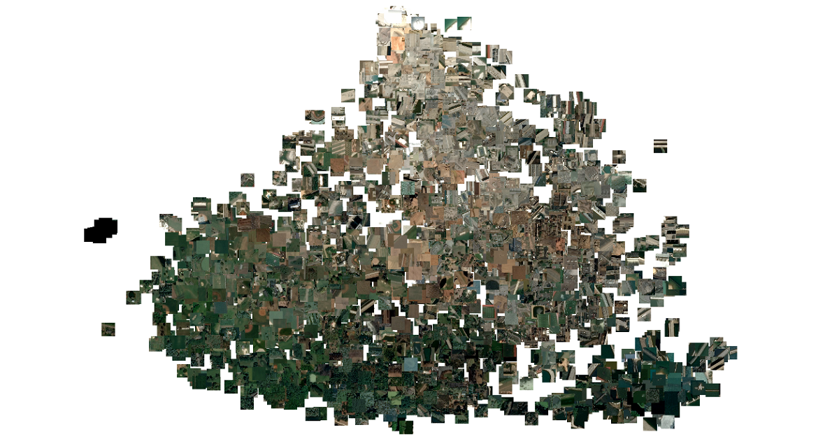
Computer vision (CV) algorithms are used to process data with two dimensional structure (spatial) an...
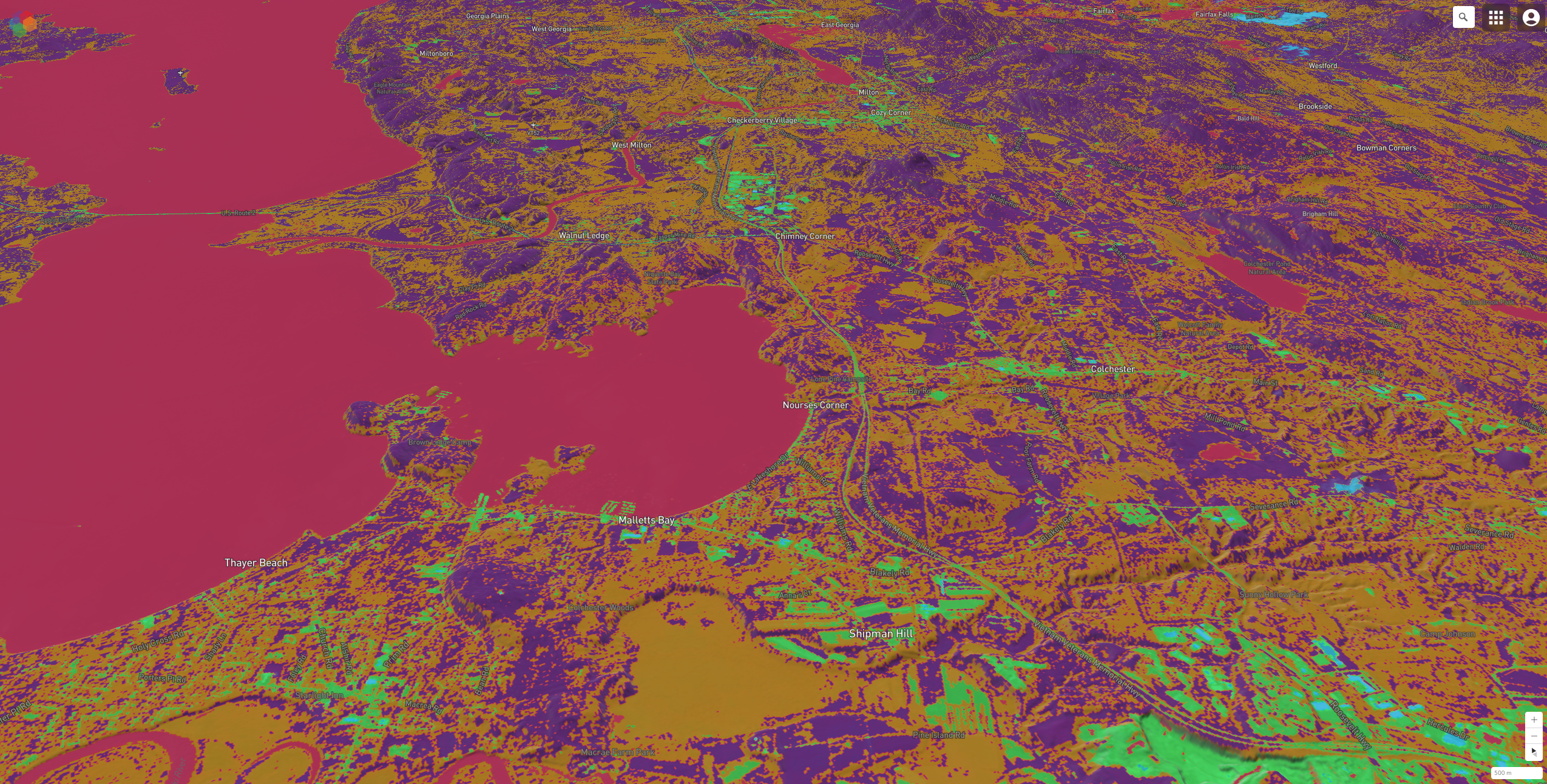
This is Part 5 of a technical series focusing on Descartes Labs’ global SAR processing capabilities....