EarthDaily Analytics Awarded Canadian Space Agency Contract to Demonstrate Cloud Native Ground Processing
Advanced cloud-native SAR processing, data discovery, distribution and exploitation capabilities will be showcased in support of Canada’s current and future SAR missions.
Vancouver, BC, , August 11th, 2021 /PRNewswire/ — EarthDaily Analytics, a vertically-integrated data processing and analytics company, today announced a contract with the Canadian Space Agency (CSA) to conduct trade studies and a demonstration of next generation cloud-based Synthetic-Aperture Radar (SAR) processing.
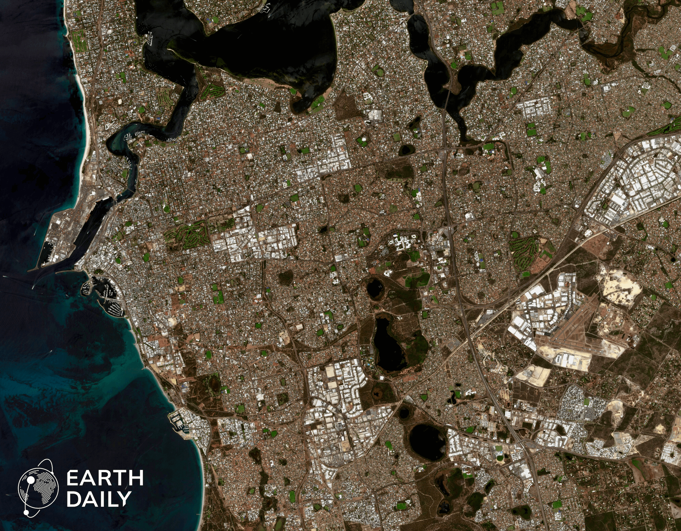
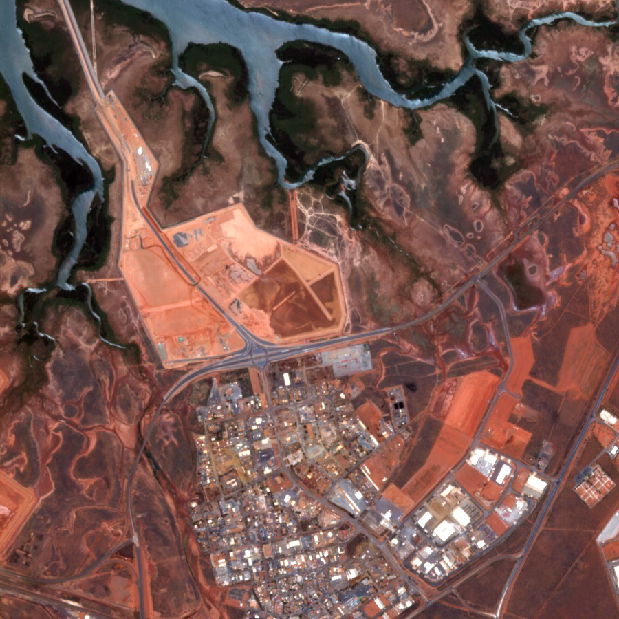
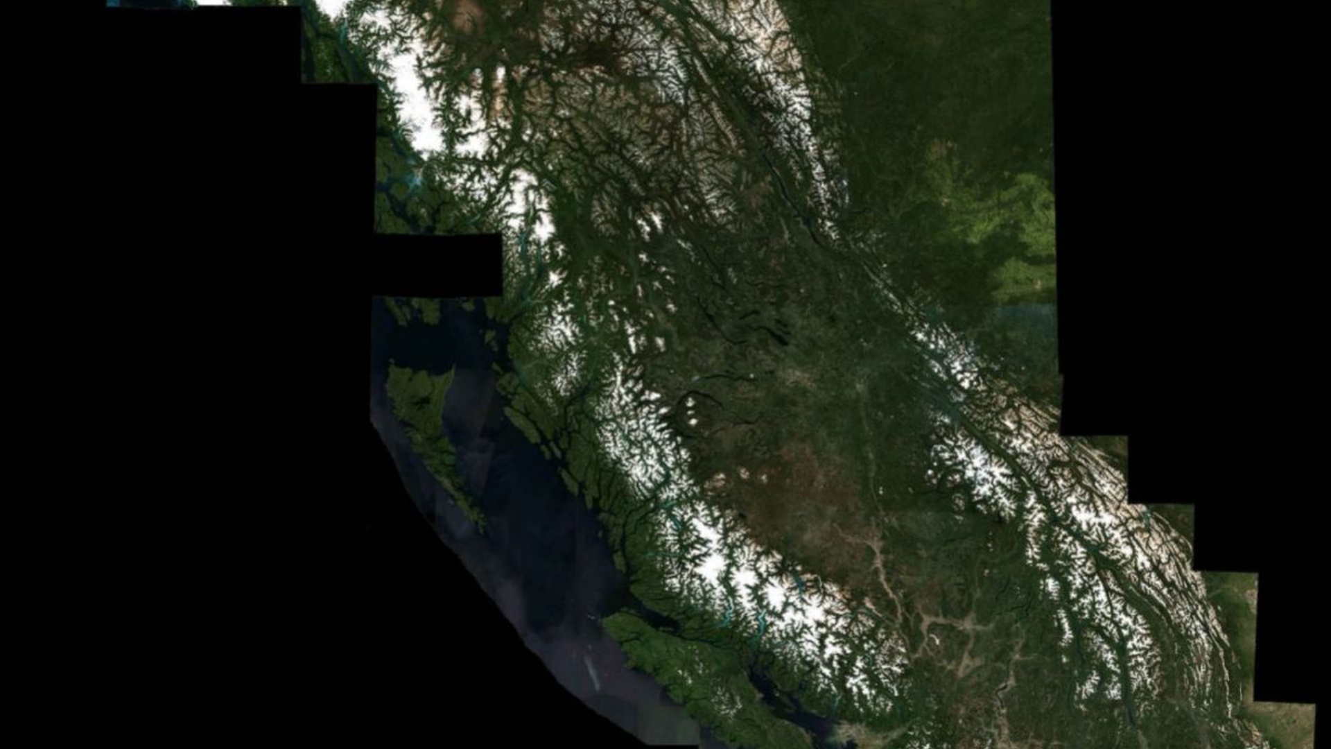
While “New Space” has successfully led to a decrease in cost to build payload technology and launch satellites into orbit, the cost for operations, maintenance, processing, storage, discovery and distribution of Earth Observation (EO) data has generally not been decreasing. As the space sector scales to larger satellite constellations with larger data volumes, these challenges and costs continue to increase. EarthDaily Analytics’ Earth Data Store and EarthPipeline technologies are key to solving these “New Ground” challenges with improved accessibility, quality, latency, scale and costs associated with satellite EO data processing platforms. The award winning EarthPipeline technology is being offered as the world’s first cloud-native Ground Segment Pipeline Software as a Service (SaaS) on Amazon Web Services (AWS) to provide enterprise grade scalability, security, and reliability.
Based on these capabilities, EarthDaily Analytics was selected to perform trade studies, assess SAR ground segment architectures, and demonstrate easy-to-use APIs, cloud-native scalability and automated SAR processing. “This award will help us demonstrate how the EarthPipeline ’s advanced cloud-based SAR processing, data discovery and distribution capabilities can support the CSA’s ambitious mission needs to improve the impact of EO data for decision making and the digital economy.” said Chris Rampersad, VP of Engineering at EarthDaily Analytics. “We’re extremely proud that the CSA appreciates this revolutionary technology that will deliver unprecedented automation, scale, quality, and security for next-generation Earth Observation ground segment services.”
This project will support the CSA’s goal to increase the environmental and economic impact of SAR data by reducing costs associated with traditional on-premise architecture, enabling rapid deployment capabilities to deliver mission critical features, and providing scalable and flexible services tailored to the end user’s need.
The EarthPipeline’s ground segment technology will also be used as a key enabler in the upcoming EarthDaily Constellation mission and as a Software as a Service for other Earth Observation companies.
About EarthDaily Analytics
EarthDaily Analytics (EDA) is a Canadian company with headquarters in Vancouver, British Columbia, providing evidence-based, actionable insights for addressing some of the world’s greatest challenges, from sustainable agriculture and disaster management to climate change monitoring and forestry protection, among many others. Its Geosys division, with operations in Minneapolis, USA, and Toulouse, France, has more than thirty years of AgTech experience analyzing weather and satellite data for agriculture, serving stakeholders across the agricultural value chain with proven solutions for monitoring and benchmarking crops throughout the growing season.
EDA has developed EarthPipeline, the world’s first Ground Segment as a Service, that uses proprietary algorithms combined with the latest advancements in computer vision and machine learning to produce scientific quality Analytics Ready Data in the cloud at massive scale for “big data” infrastructure and geoanalytics. This fully automated processing pipeline is used with data from a number of satellite sensors to power the geoanalytics services by its Geosys division and is now also being offered commercially. EDA is also developing the EarthDaily Satellite Constellation to image the Earth’s landmass and large maritime areas every single day, with the data being processed by the EarthPipeline to produce scientific-quality superspectral imagery that will power groundbreaking innovations in a wide range of AI and machine learning applications. More information can be found at www.earthdaily.com