

.jpg?width=289&height=168&name=Data%20Use%20cases%20(1).jpg)


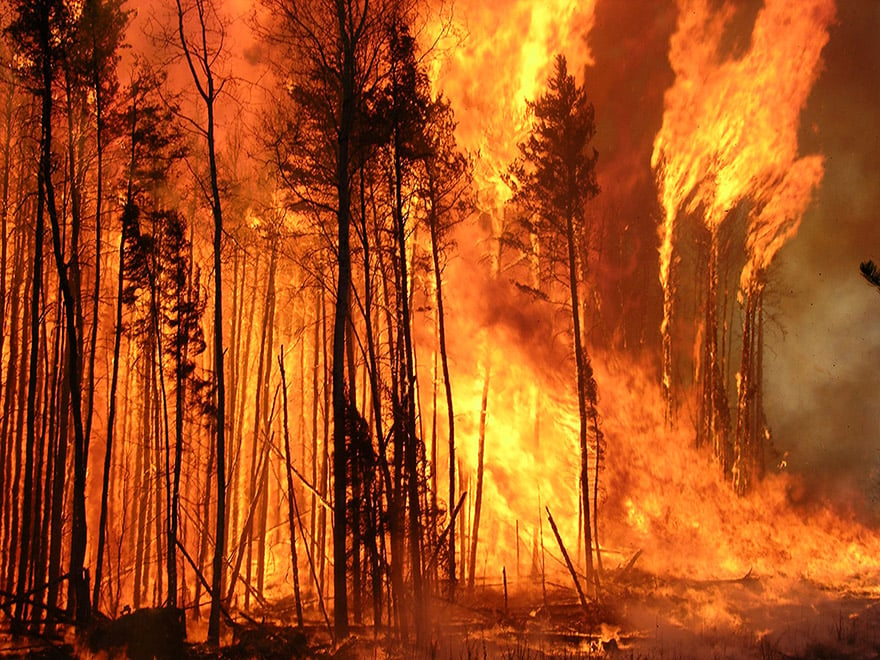
Canada is home to 367 million hectares of forest, including a quarter of the world’s boreal forests....
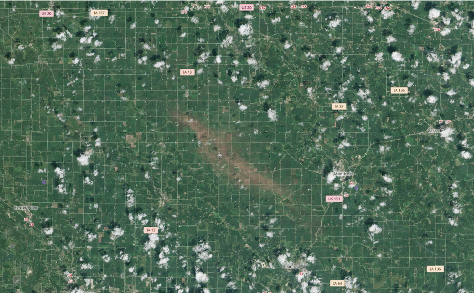
California has declared a statewide emergency to prepare for potentially record-breaking El Niño sto...
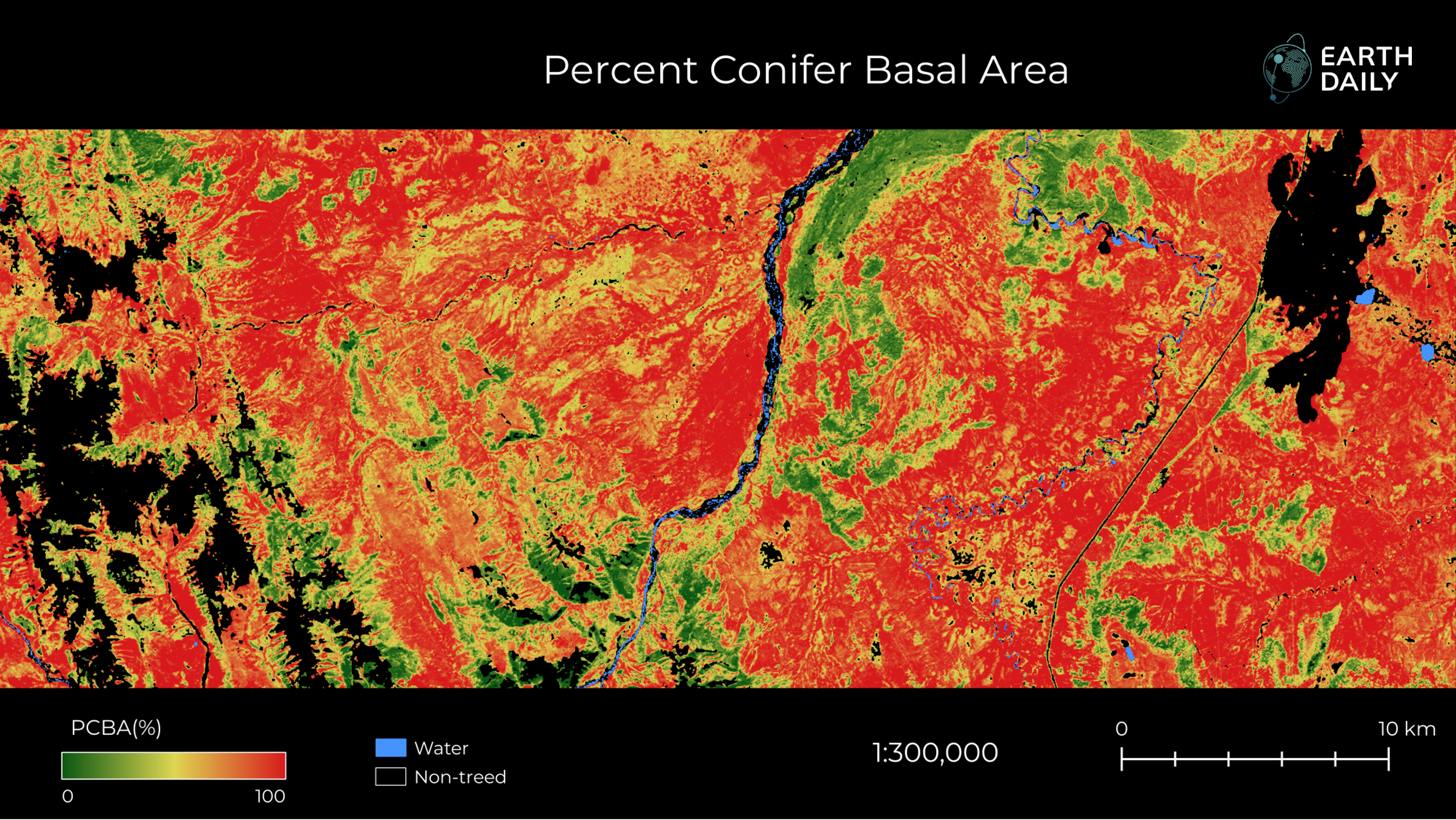
EarthDaily fuel data is contributing to improved model accuracy, with an ongoing collaboration suppo...
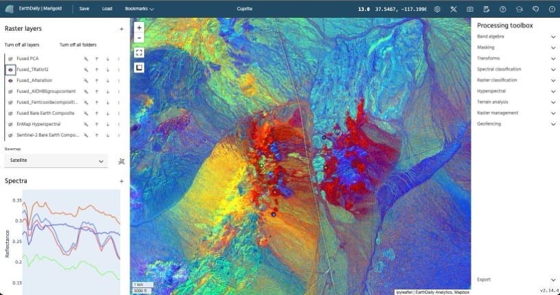
Renewals validate Marigold’s ability to deliver consistent, high-quality mineral intelligence across...
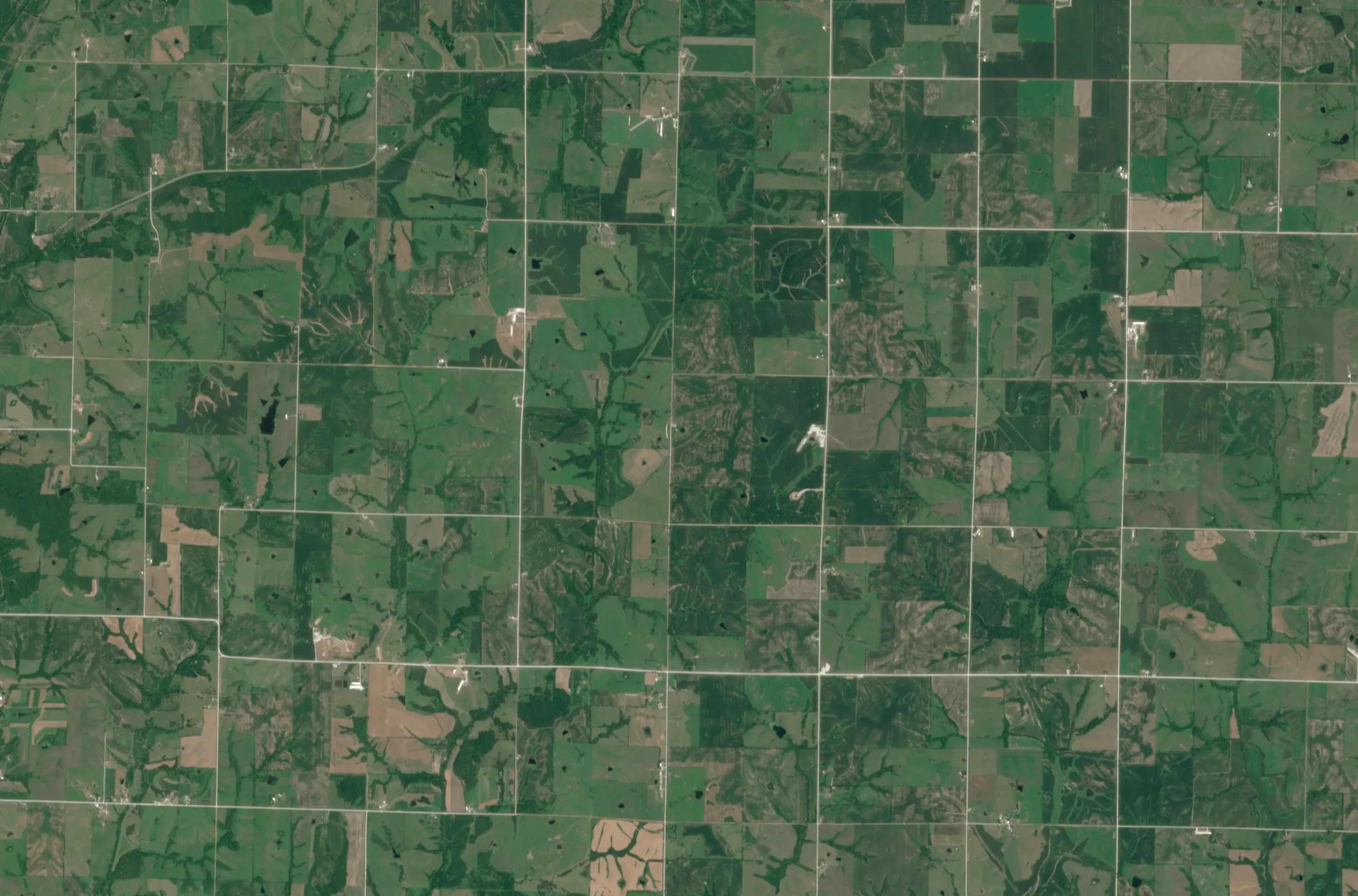
Climate risk builds before a fire ignites or a crop fails. Continuous Earth observation helps track ...
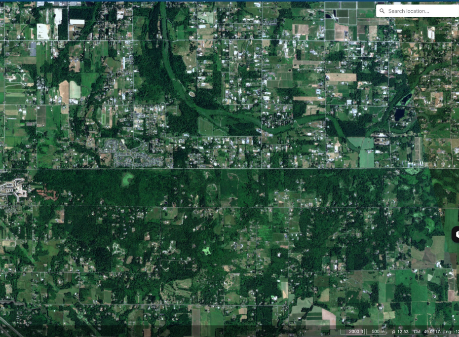
BC/Washington border. Captured by EarthDaily Constellation June 17, 2026
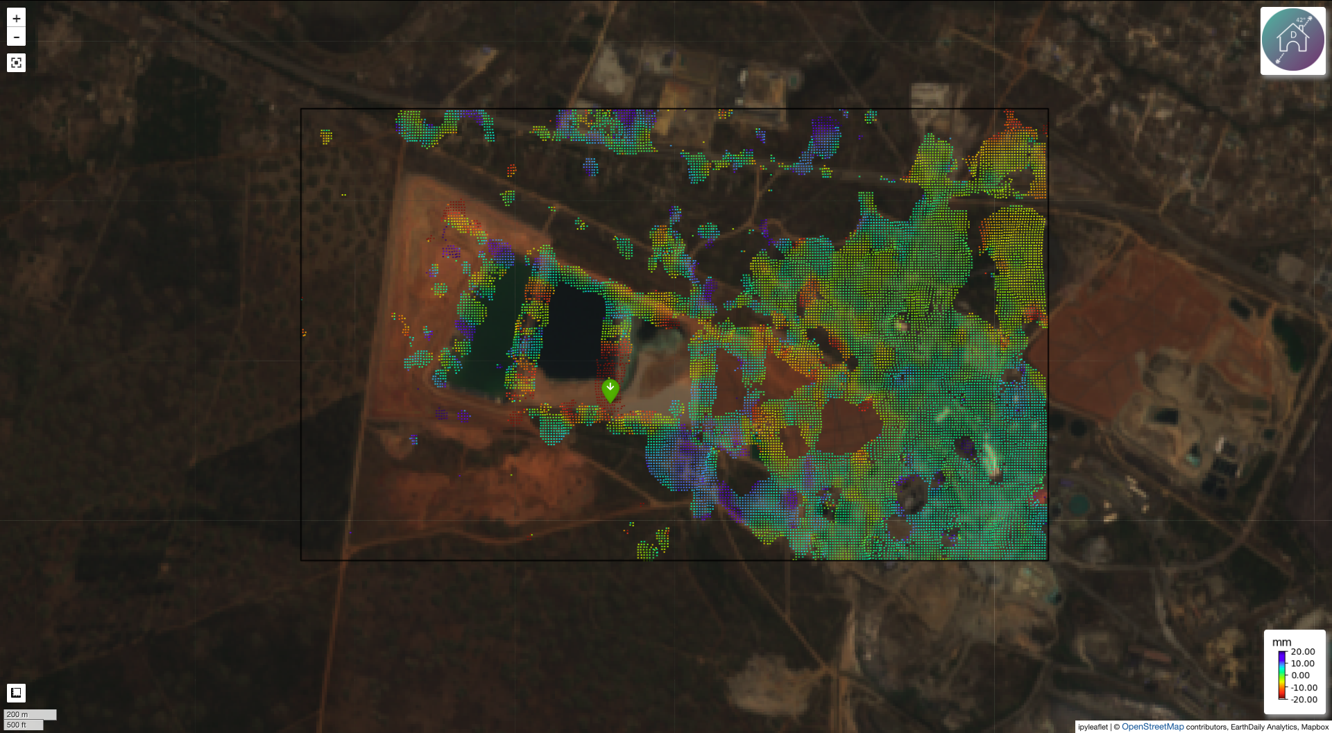
Cumulative deformation at the Chambishi Mine Tailings Facility, measured by Iris from February 24, 2...
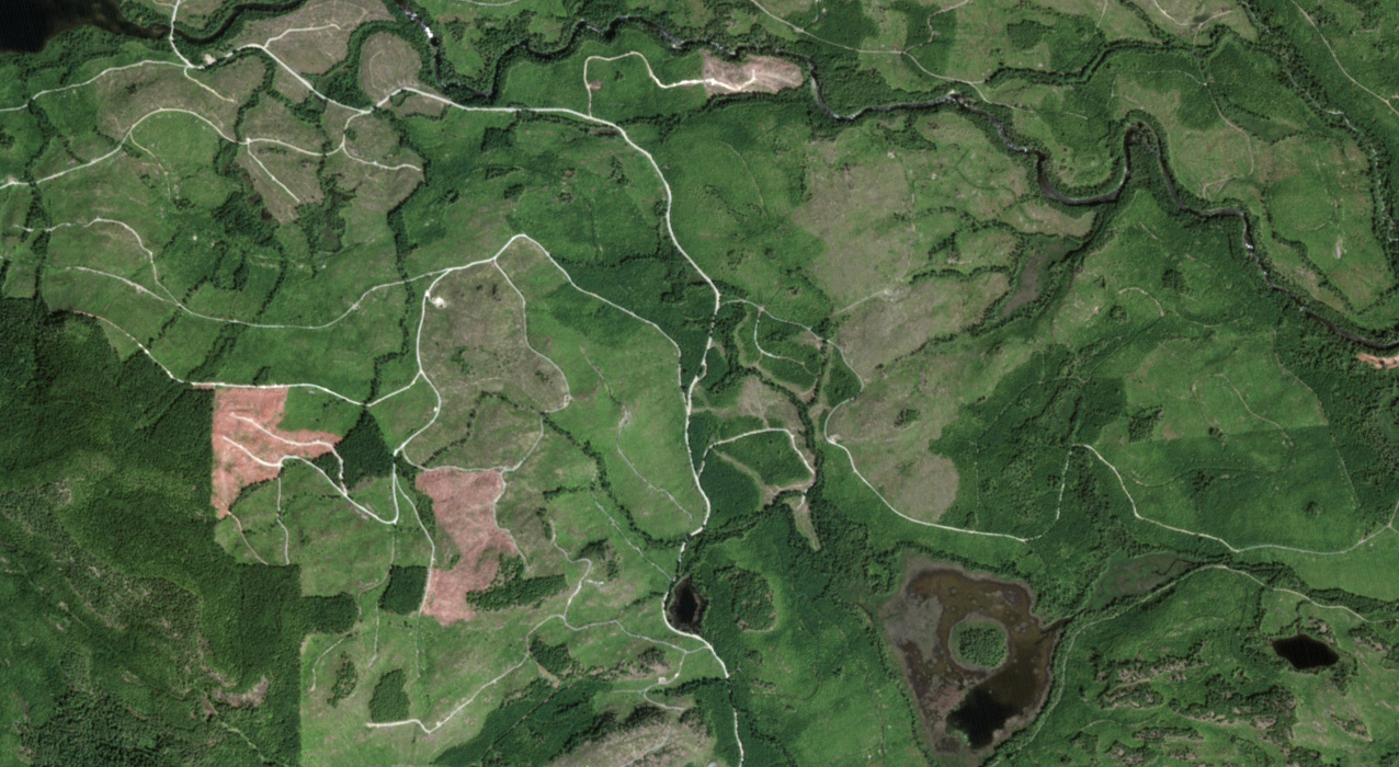
Port Alberni, Vancouver Island. Captured by EarthDaily Constellation in June 2026 Standing offer est...
.png)
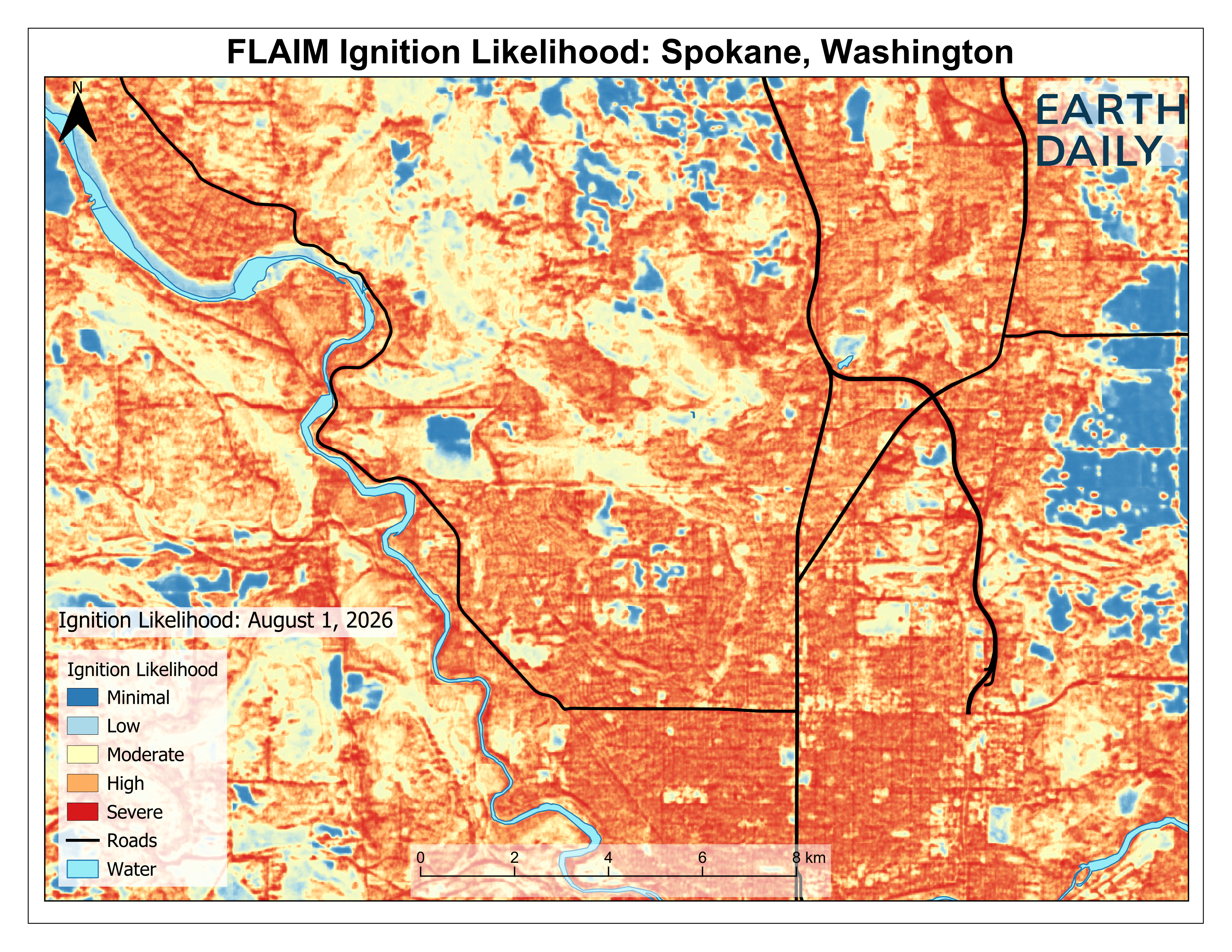
EarthDaily’s Fire Likelihood AI Model (FLAIM) shows a monthly composite of wildfire ignition likelih...

Daily, consistent Earth observation helps agencies detect vessel activity, follow changes at ports a...