.jpg?width=289&height=168&name=Data%20Use%20cases%20(1).jpg)
Why Satellite Imagery Still Struggles to Scale in Agriculture
Satellite imagery has long shown value in agriculture. This blog explores why scaling it remains difficult and what it takes to make Earth observation operational.
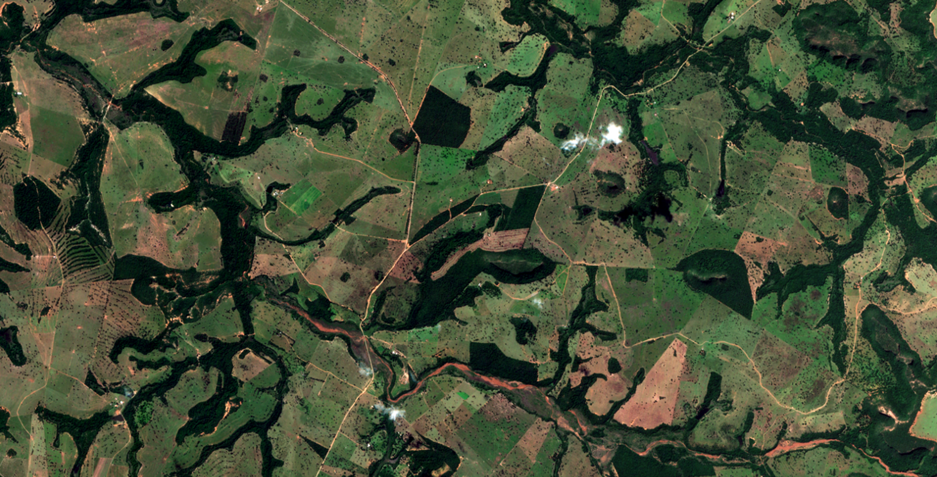
Landscapes rarely change in obvious ways. Forests thin out before they disappear. Cities grow outwar...

Loft Orbital (“Loft”), a global space infrastructure company, andEarthDaily Analytics (“EarthDaily”)...

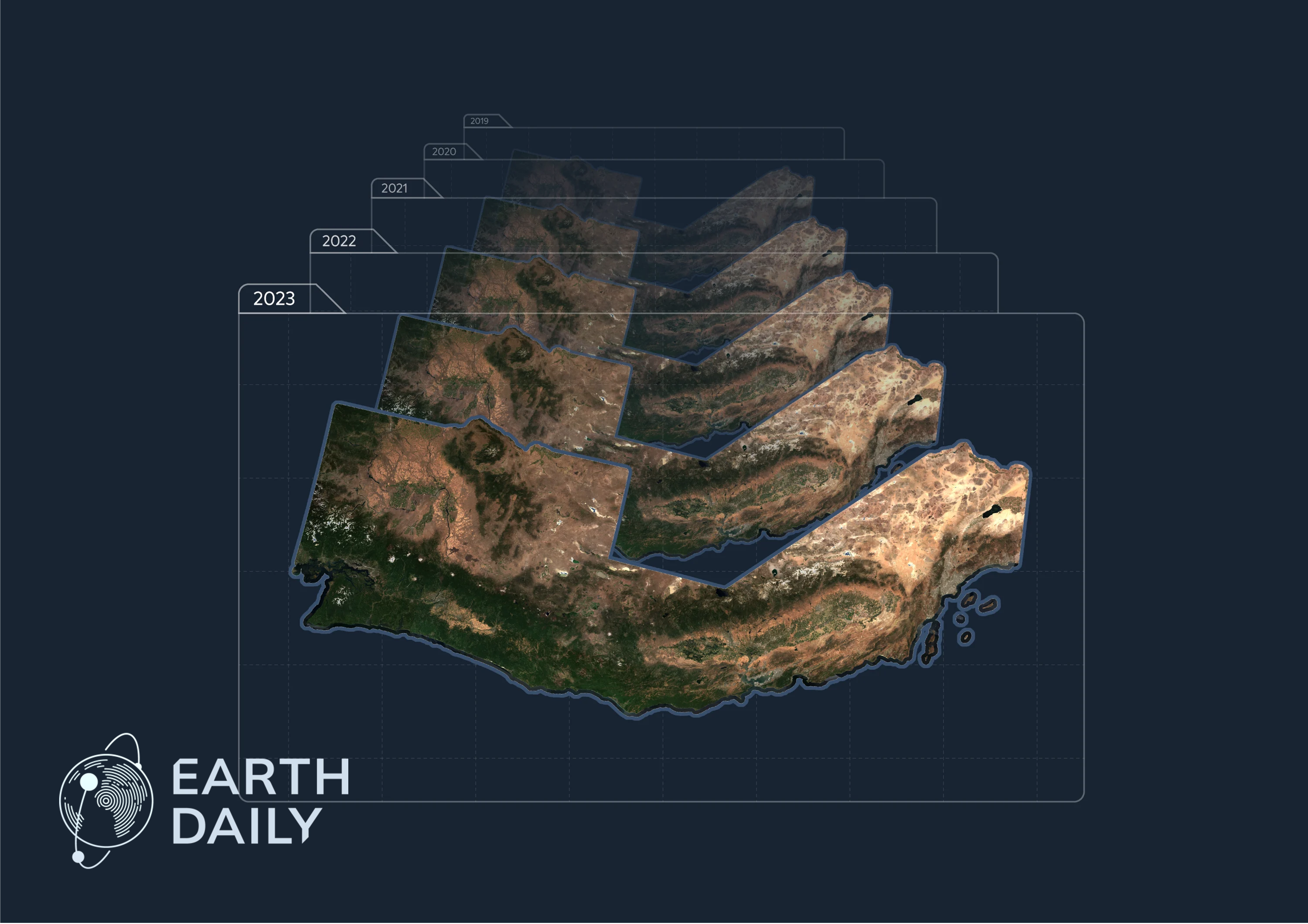
The first imagery released from the EarthDaily Constellation offered an early look at the system’s m...
More precise risk selection is changing underwriting outcomes. The challenge is what to do with the ...
Agreement highlights growing demand for calibrated, consistent data powering AI-driven Earth intelli...
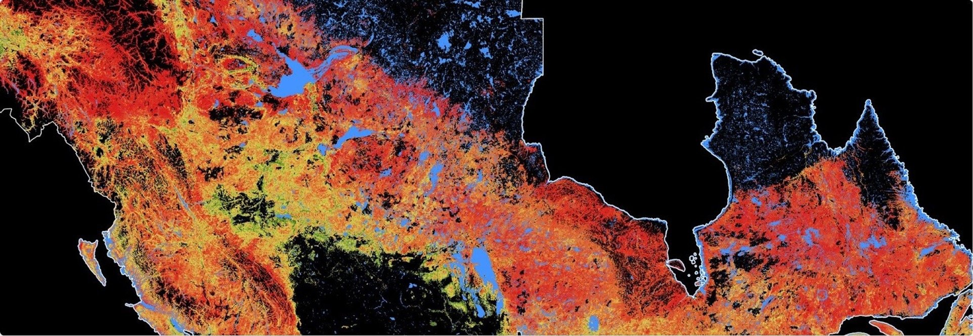
The EarthDaily Constellation will provide daily global coverage of vegetation indices with low signa...
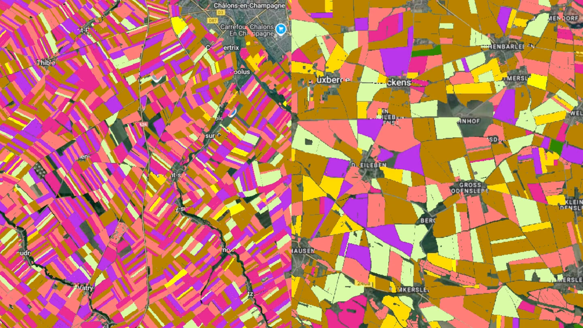
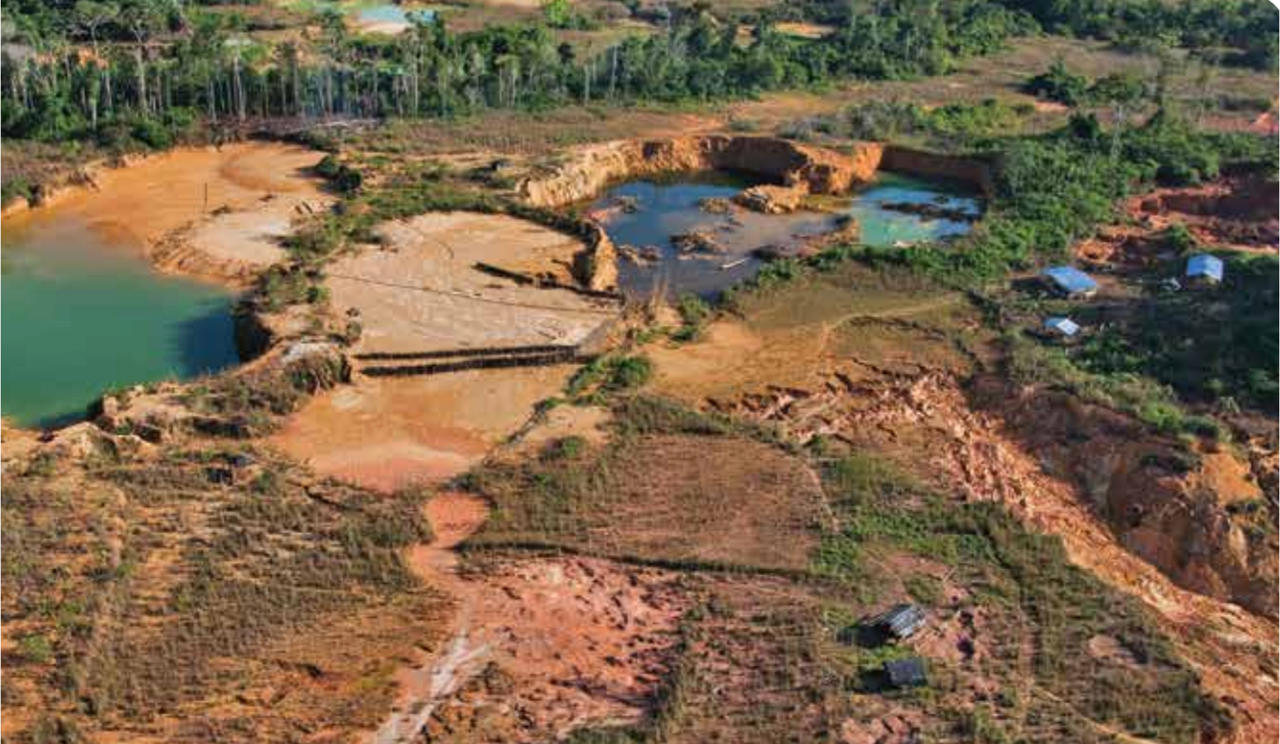
Image source: World Gold Council
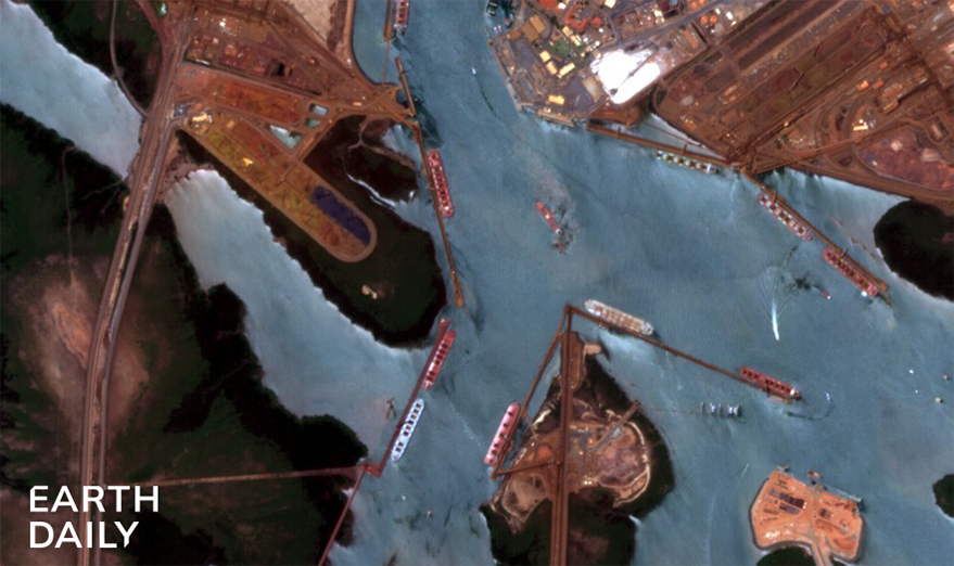
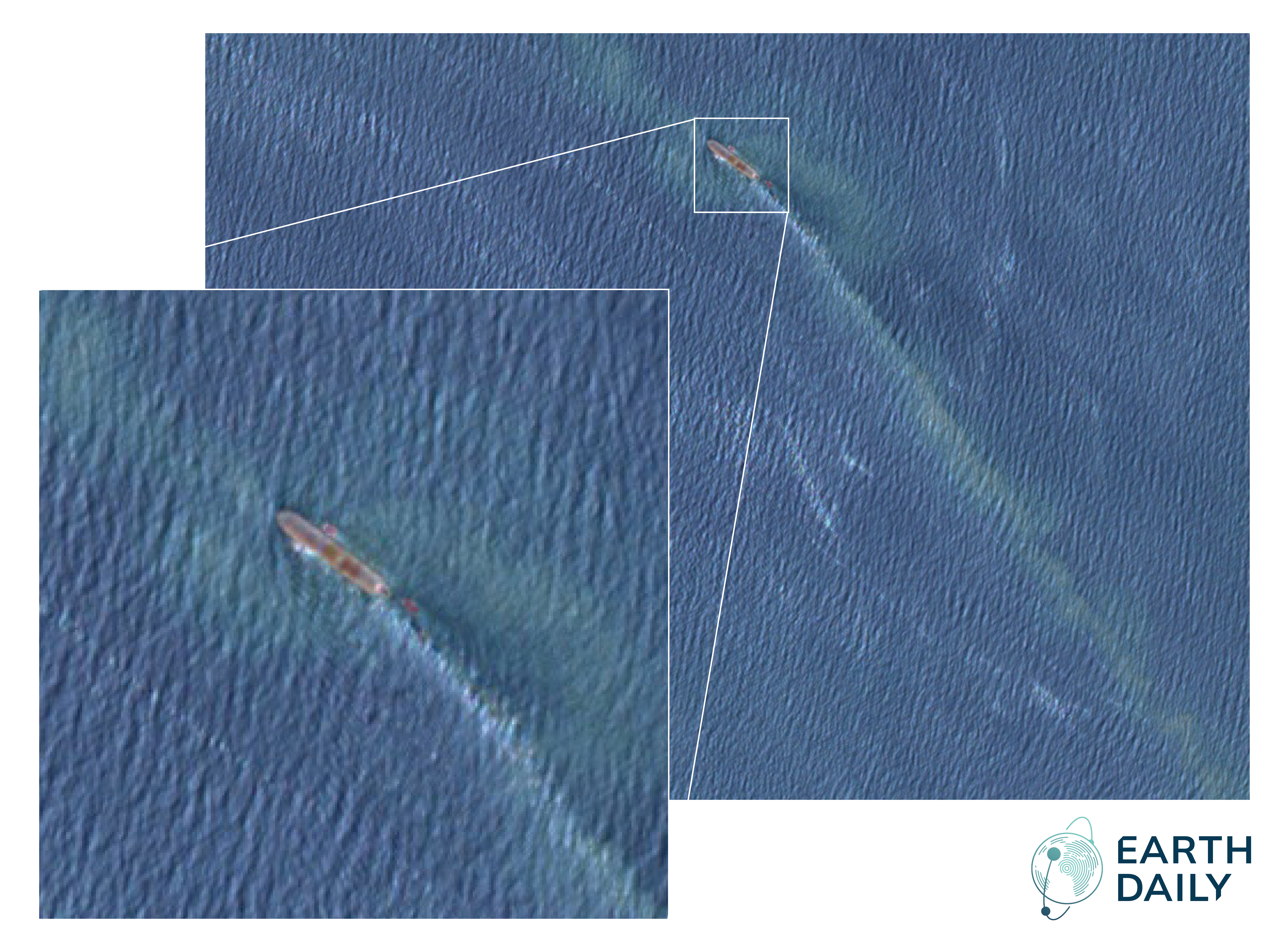
Activity at Port Hedland, Australia, one of the world’s largest bulk export ports, captured by EDC-0...
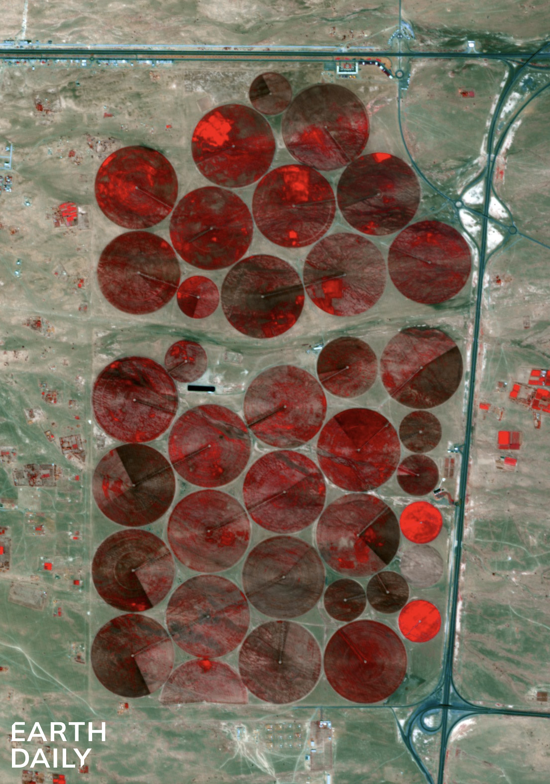
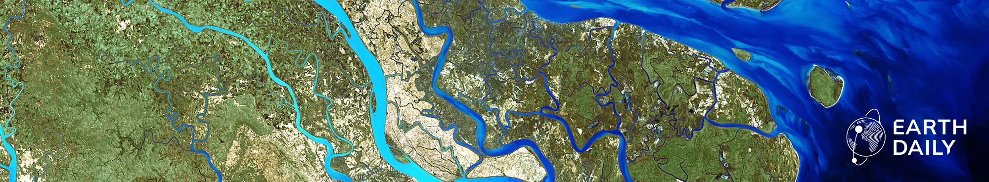
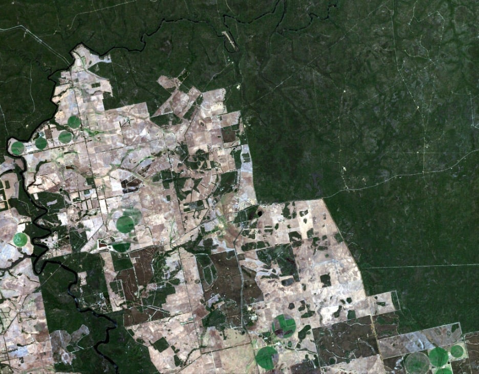
Irrigation fields in false color captured by EDC-01 in Feb 2026
The traditional "snapshot" era of geospatial intelligence (GEOINT) is over. For decades, the industr...
Validation Confirms Science-Grade Integrity of the EarthDaily Constellation Vancouver, BC & New ...


