.jpg?width=289&height=168&name=Data%20Use%20cases%20(1).jpg)
SynMax Expands EarthDaily Constellation Subscription to Support Energy Analytics
New EarthDaily Constellation (EDC) imagery subscription will support SynMax’s Hyperion Platform and its expansion into new analytics offerings.

Artisanal miners in Ghana. Image Source: Morten Larsen/World Bank.

EarthDaily and Geospatial Intelligence Pty Ltd are pleased to announce a new partnership to expand a...
(This is a guest contribution from Matt Hallas, Geospatial Practice Manager at DevPartners. Matt has...
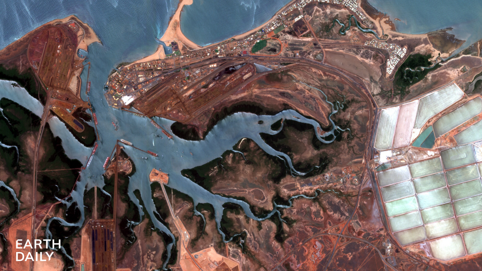
Port Hedland, Western Australia, captured by EarthDaily’s EDC-01 satellite in February 2026. Consist...
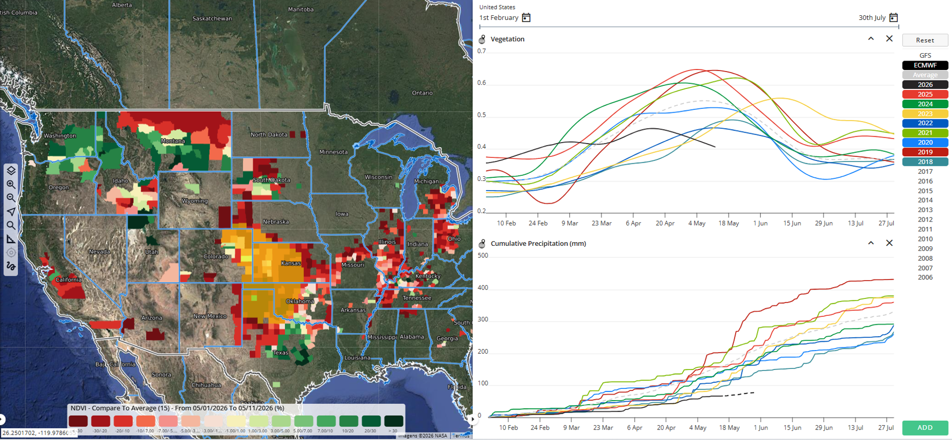
EarthDaily’s analysis showed early signs of stress in U.S. winter wheat months before the latest USD...
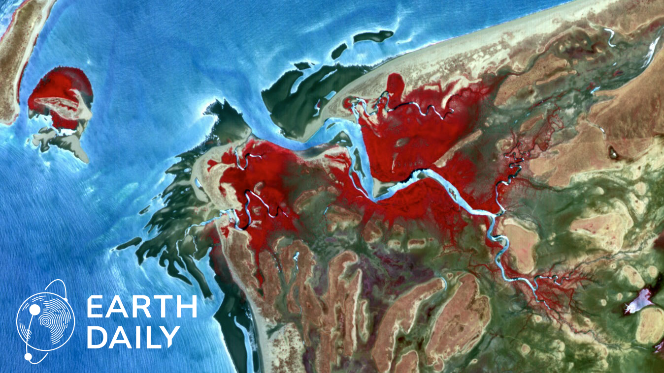
EarthDaily’s data is built for science-grade measurement at the system level, combining consistent a...
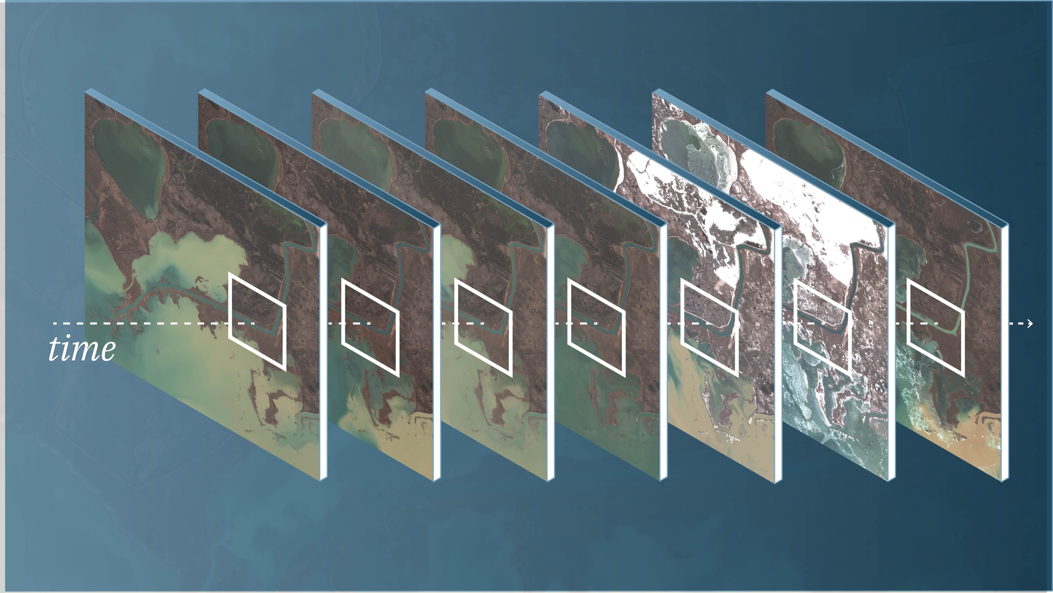
Science-grade Earth observation data provides the foundation for trusted measurement over time, enab...
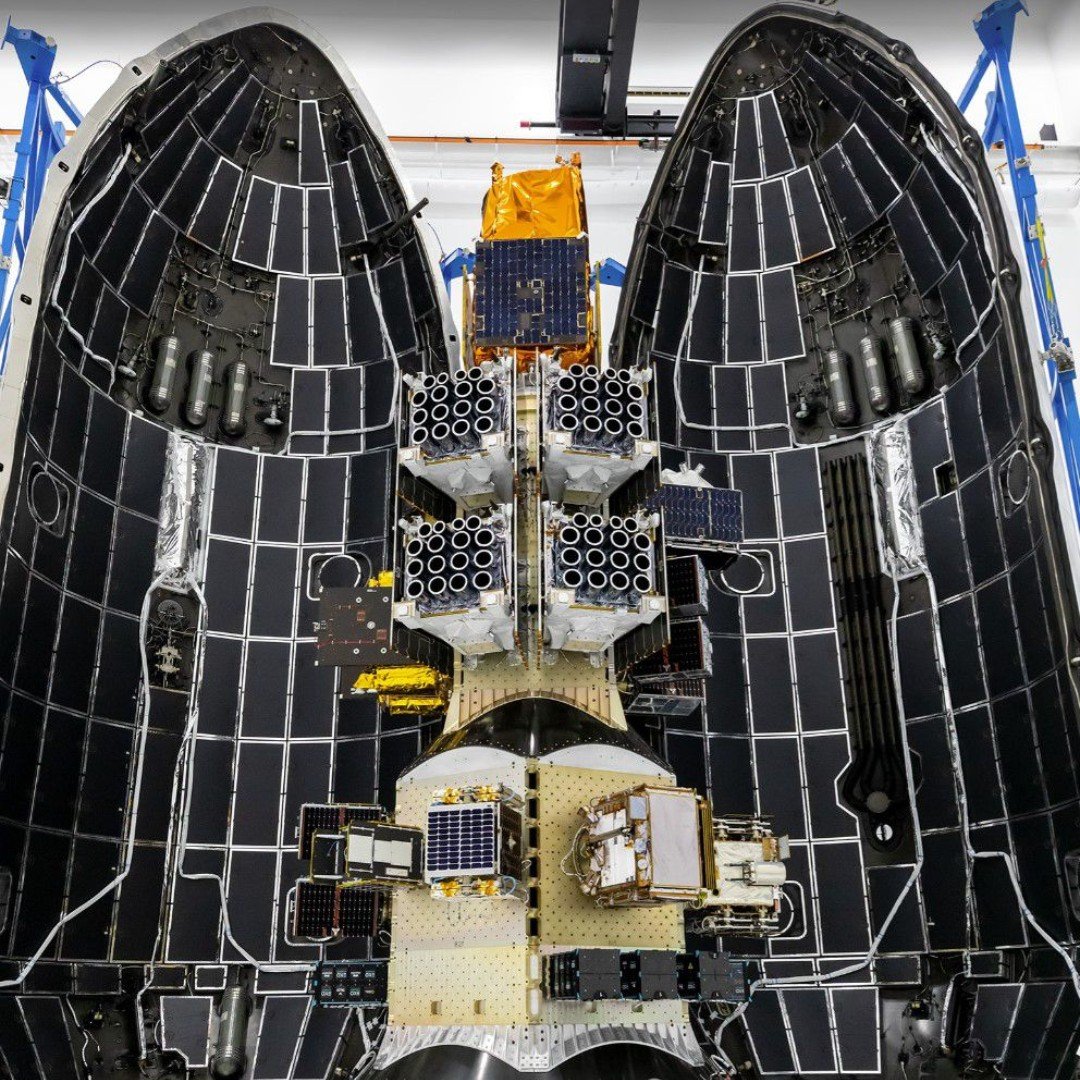
SpaceX Falcon 9 sits on launchpad ahead of the CAS500-2 Mission, on May late night. Image Courtesy o...

Nicole Toigo, President of EarthDaily Federal, joins industry leaders at GEOINT Symposium 2026 for a...
NRO Director Pete Muend announces EarthDaily’s selection for a Commercial Solutions Opening contract...

Participation strengthens role in advancing trusted, AI-ready Earth intelligence for U.S. mission re...