.jpg?width=289&height=168&name=Data%20Use%20cases%20(1).jpg)
Why Satellite Imagery Still Struggles to Scale in Agriculture
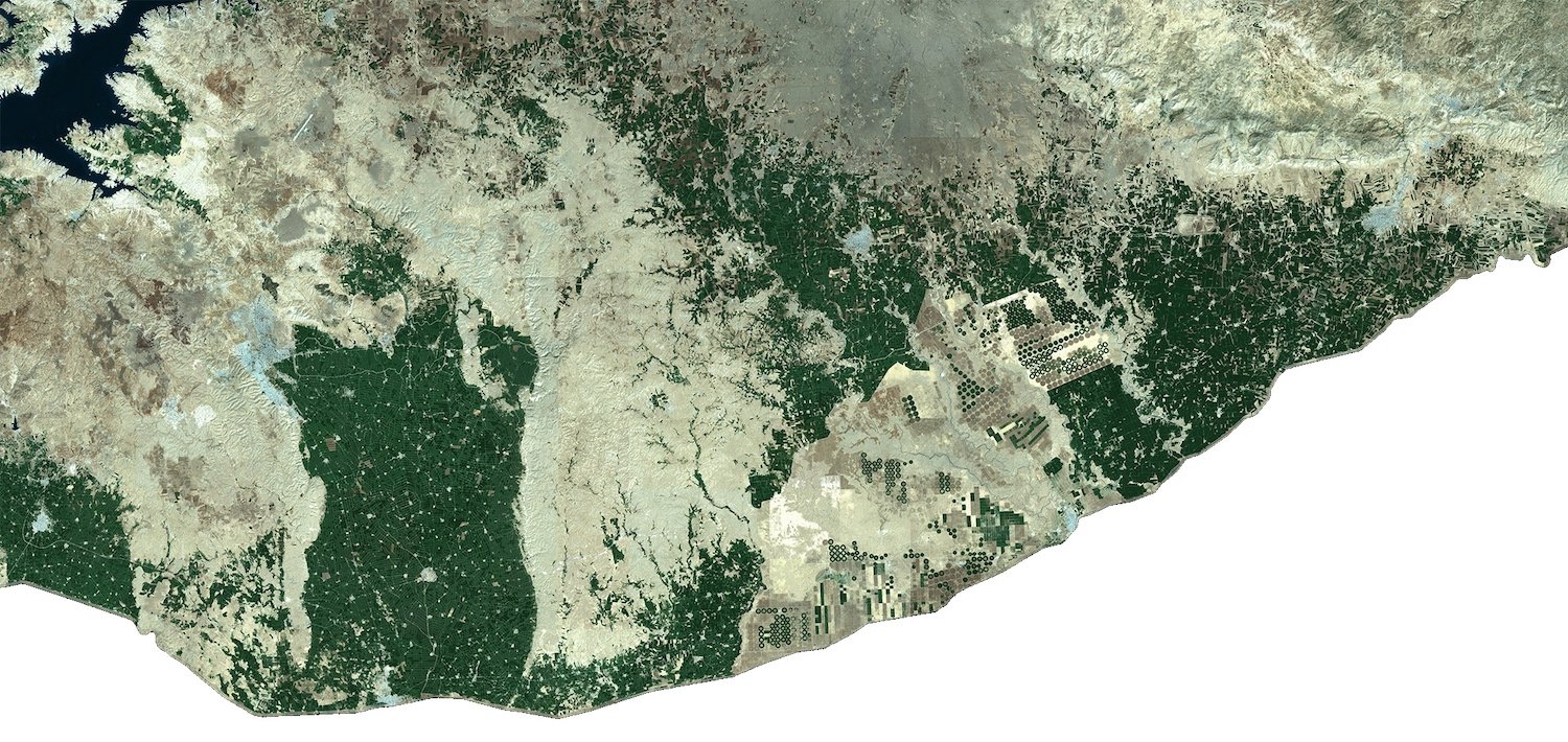
Satellite imagery has long shown value in agriculture. This blog explores why scaling it remains difficult and what it takes to make Earth observation operational.
Our team of crop analysts constantly monitor the world’s major growing regions. To understand what’s...
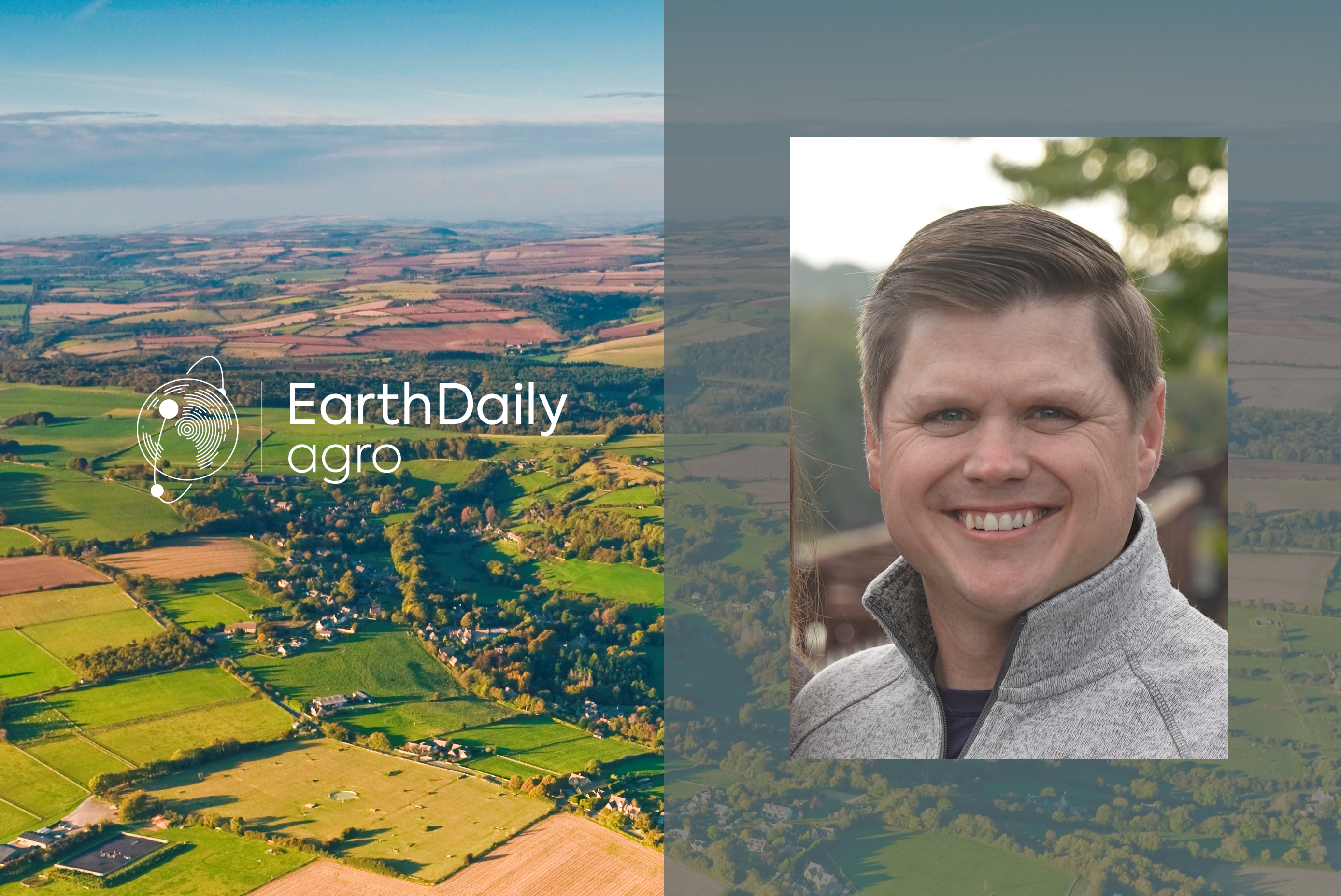
Ник Ортман — директор по обеспечению успеха партнеров. Он работает с крупными партнерами, помогая им...
Nick Ohrtman é nosso Diretor de Sucesso dos Parceiros. Ele trabalha com clientes de grande porte par...
Nick Ohrtman est notre directeur pour la réussite de nos partenaires. Il travaille avec nos clients ...
Since he graduated as an Agronomist in 2016, Mathieu Almeida had a knack for long-distance running a...
Nick Ohrtman is our Director of Partner Success. He works with larger customers to help to grow thei...
We’re excited to announce a new partnership with Aspia Space to power its ClearSky product offering ...
Desde a época em que se formou como Agrônomo em 2016, Mathieu Almeida já era bom não apenas em corri...
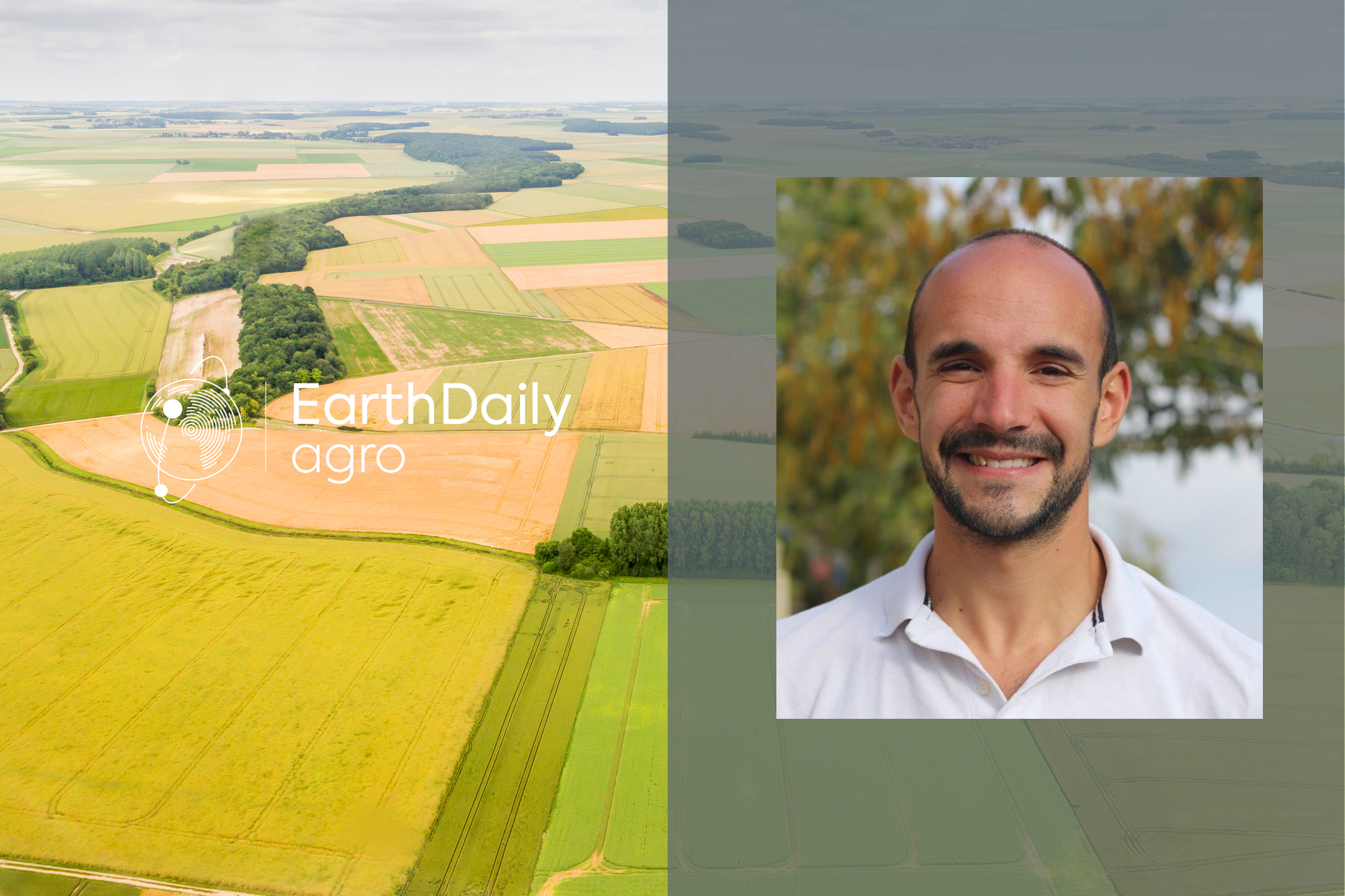
К моменту получения диплома агронома в 2016 г. Матье Альмейда увлекался бегом на длинные дистанции —...
Depuis l’obtention de son diplôme d’ingénieur agronome en 2016, Mathieu Almeida a montré des aptitud...
