.jpg?width=289&height=168&name=Data%20Use%20cases%20(1).jpg)
The Price of Being Trusted: Why Commercial Earth Observation Chose Standards
As commercial Earth observation grows, shared standards are becoming essential for trusted, interoperable satellite data and operational decision-making.

En tant qu’ingénieure en agriculture spécialisée dans les nouvelles technologies de l’information et...
As an agriculture engineer specializing in New Information and Communication Technology, Chloé Cocha...
Как спутниковые данные помогли стандартизировать систему страхования урожая в России Национальный со...
EarthDaily Agro Customers Share How Earth Observation Benefits Their Businesses Coinciding with its ...
At Descartes Labs, we often dive deep into the technical aspects of geospatial intelligence, the rig...
Nossa equipe de analistas de culturas monitora constantemente as principais regiões de cultivo do mu...
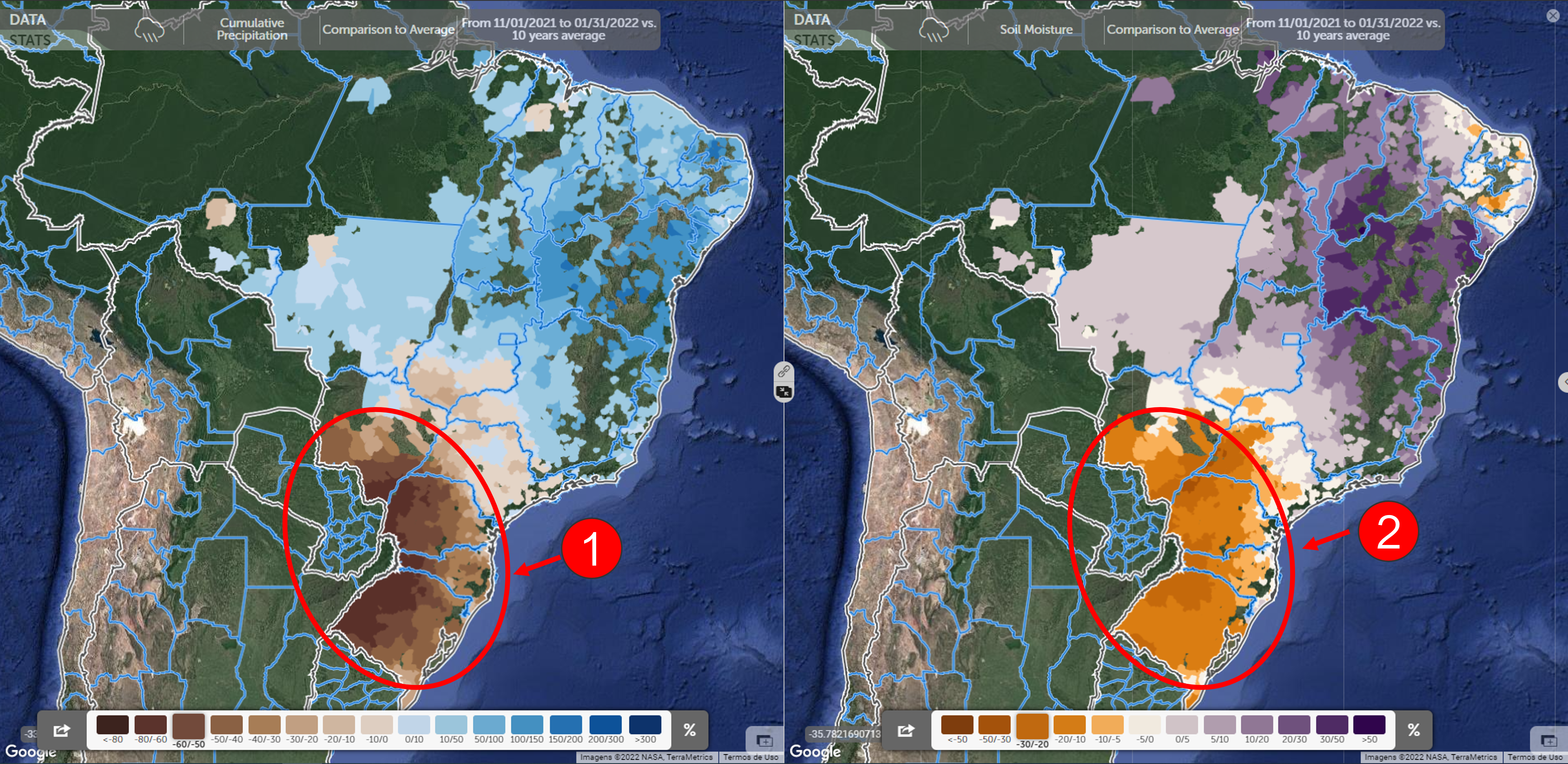
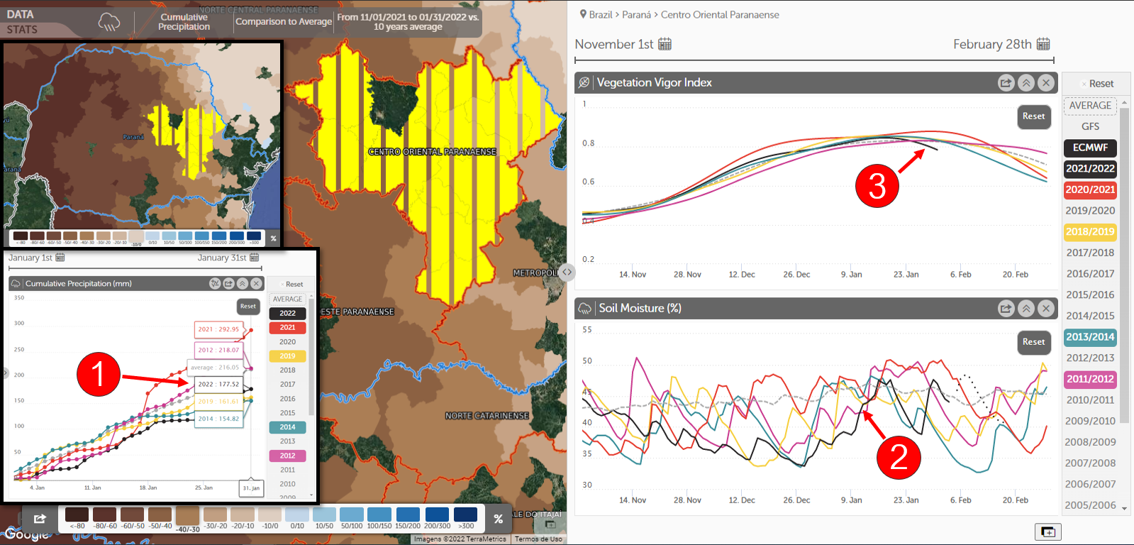
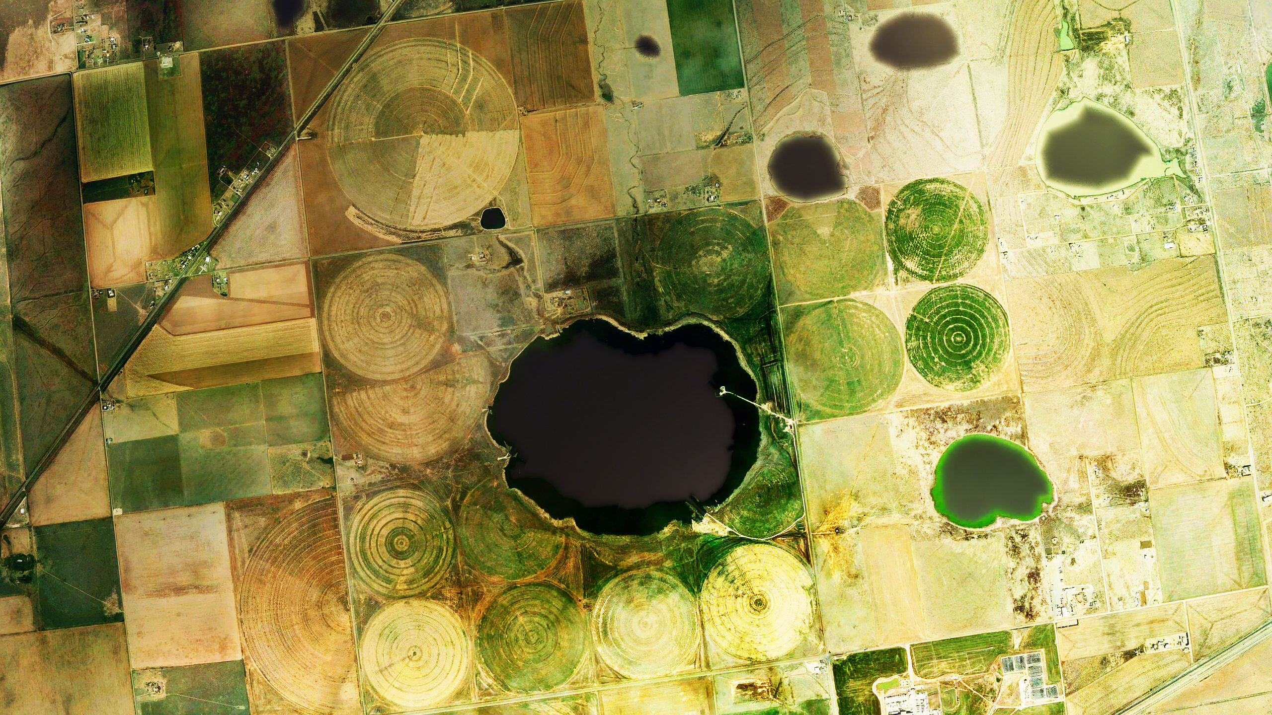
Our team of crop analysts constantly monitor the world’s major growing regions. To understand what’s...
Компания запускает новую программную платформу для сельскохозяйственной аналитики нового поколения п...
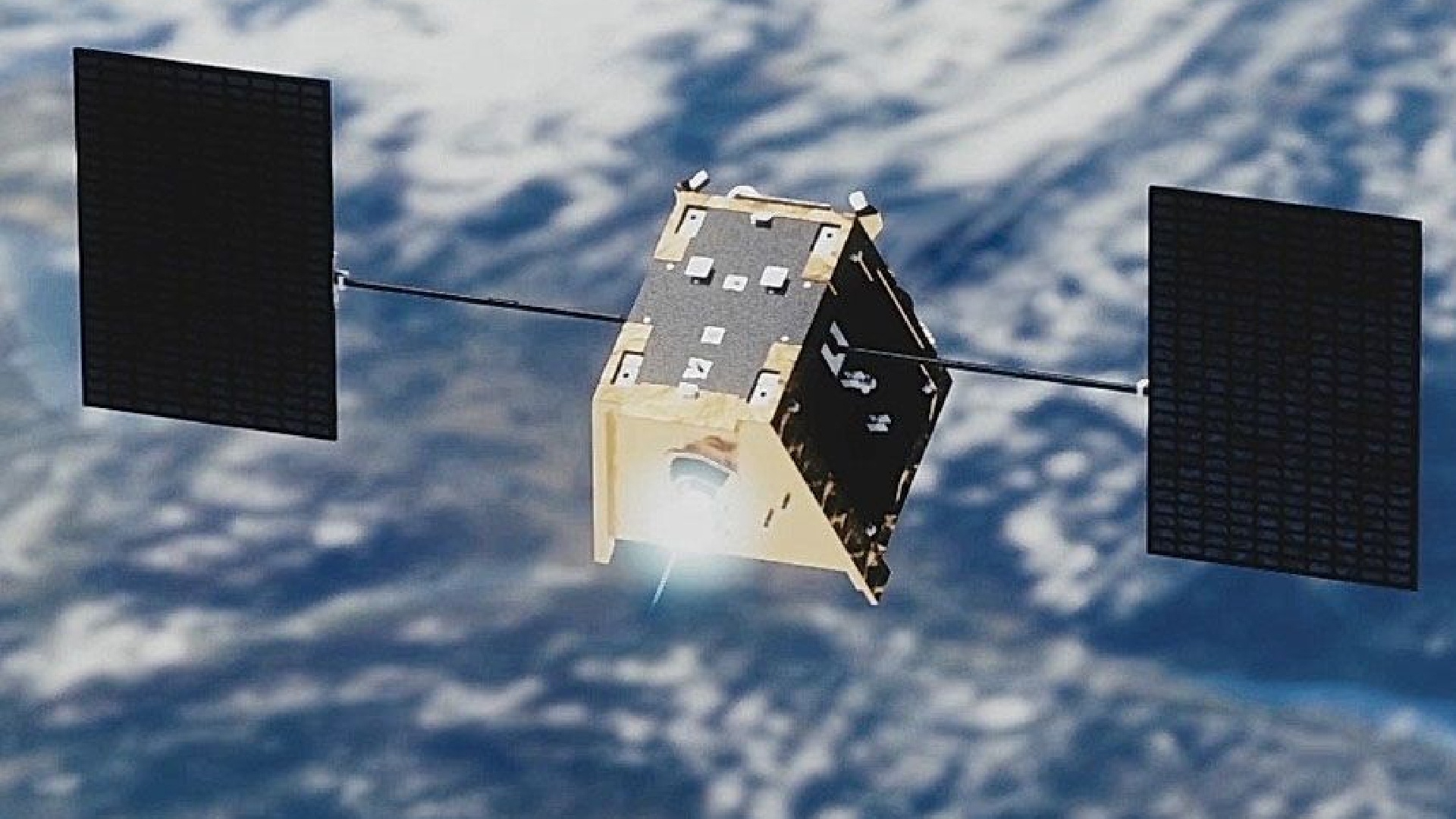
Лидирующие компании отрасли примут участие в создании группы спутников для ежесуточной суперспектрал...
