Beyond AIS: How Satellite Monitoring Closes Maritime Visibility Gaps
How daily satellite monitoring and AI-ready data strengthen maritime domain awareness across vast, difficult-to-observe waters.
How to remotely monitor supply and demand to make better business decisions in times of economic dis...
Descartes Labs opens up our second round of applications for free platform API access to individuals...
The State Forestry Department will use our automated detector during the 2020 wildfire season In 201...
We will recover, but how will we know when? Updated with aggregated mobility data from Friday, June ...
Geospatial data and modeling tools in one package At Descartes Labs, we’ve been working at scale for...
Creating statistical models of reservoir storage and hydropower generation using the Descartes Labs ...
For a fun piece to chew on during the Thanksgiving holiday, National Geographic asked Descartes Labs...
Descartes Labs has built an operational wildfire detector using satellite imagery which enabled the ...
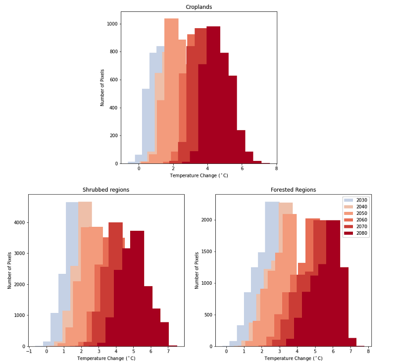
The Descartes Labs Platform supercharges the development of an urban heat island layer across 14,000...
There’s never a dull moment over here at Descartes Labs. Between hosting the 2030 Governor’s Energy ...