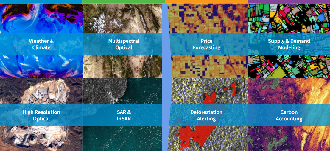
.jpg?width=289&height=168&name=Data%20Use%20cases%20(1).jpg)
Why Satellite Imagery Still Struggles to Scale in Agriculture
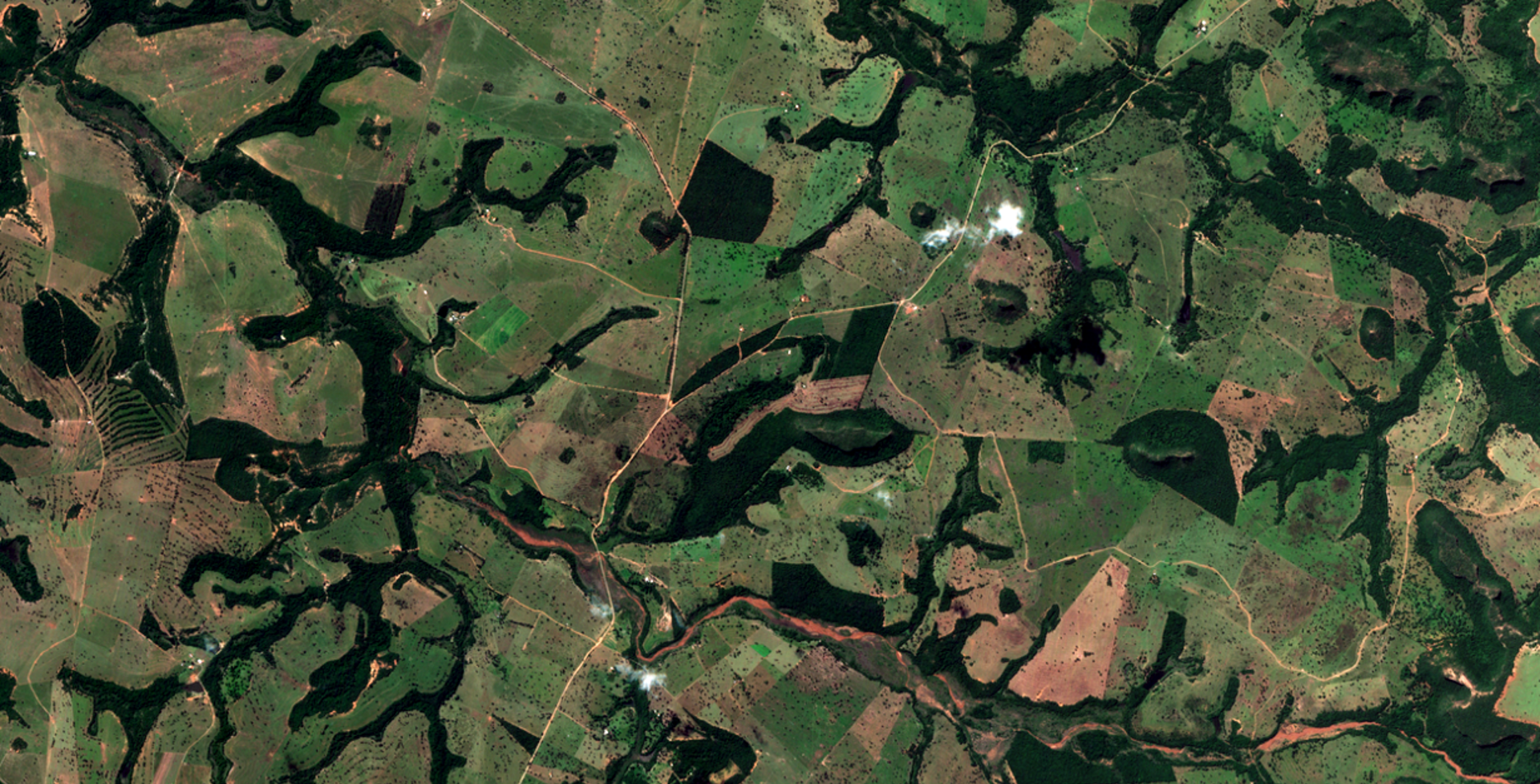
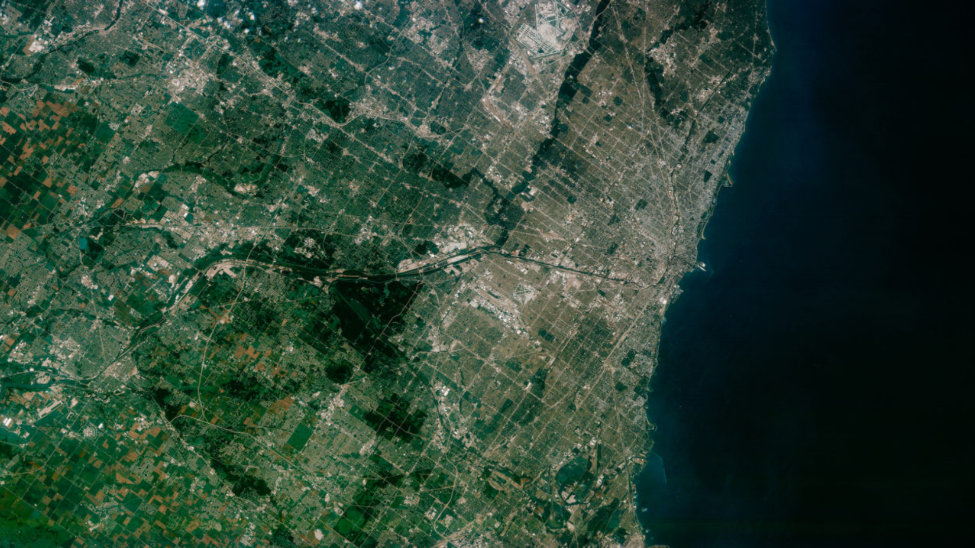
Satellite imagery has long shown value in agriculture. This blog explores why scaling it remains difficult and what it takes to make Earth observation operational.
O nome Geosys permanece vivo com o lançamento da nova plataforma de software de próxima geração que ...
Прежнее наименование Geosys передается программной платформе нового поколения. Ее выпуск произведет ...
Le nom de Geosys perdurera grâce au lancement d’une plateforme logicielle de nouvelle génération app...
Geosys name will live on with launch of new, next-generation software platform that revolutionizes t...
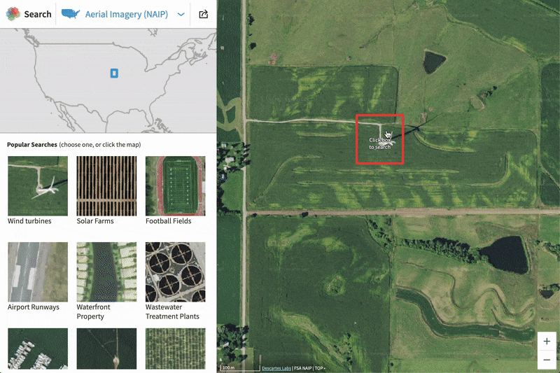
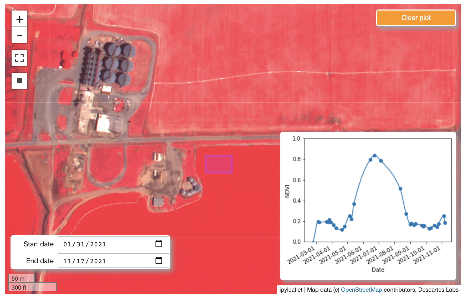
Introduction In this blog, we will show how to go from zero data to thousands of annotated satellite...
Today, we’re excited to announce a new partnership with Satellogic that brings sub-meter, high-frequ...
Zhihan Ma, Global Head of ESG at AllianceBernstein speaks with Erika Randolph, Director of Sustainab...
Agrifood businesses face many challenges developing programs to address biodiversity and climate imp...