.jpg?width=289&height=168&name=Data%20Use%20cases%20(1).jpg)
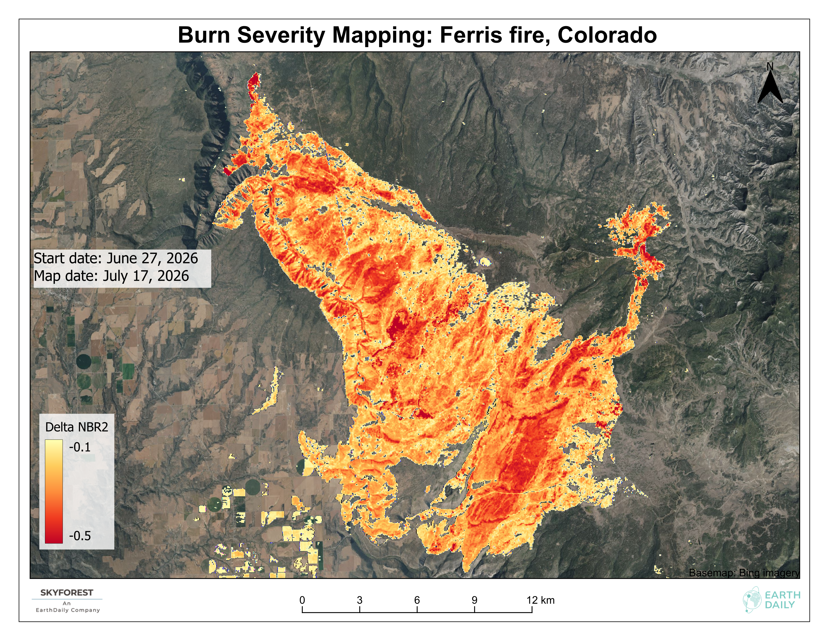
Why Burn Severity Mapping Needs to Move Faster
See how EarthDaily delivers fast, accurate burn severity assessments across multiple wildfires using an automated EarthPlatform workflow.

Zoomed out view of mill-level carbon scores. Lower scores mean less nearby deforested area and estim...
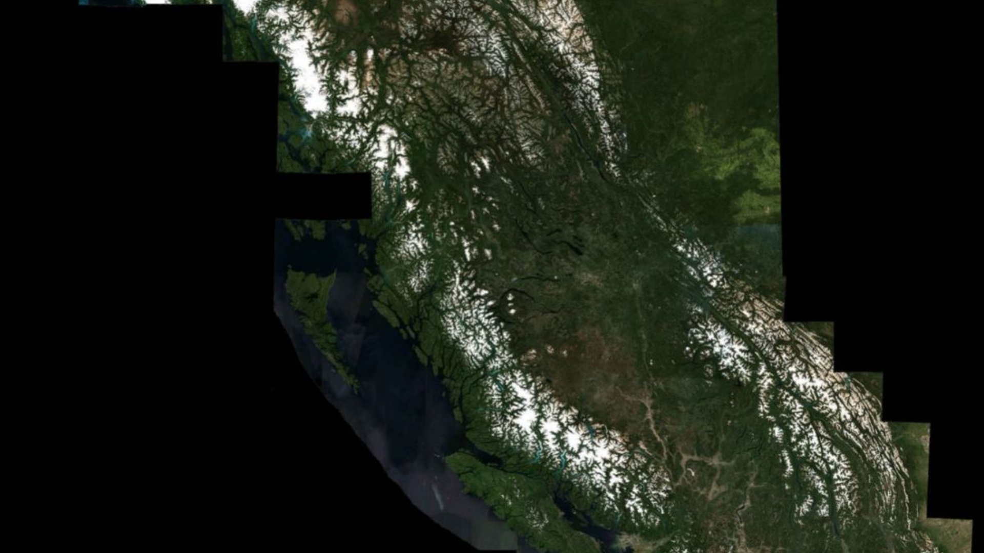
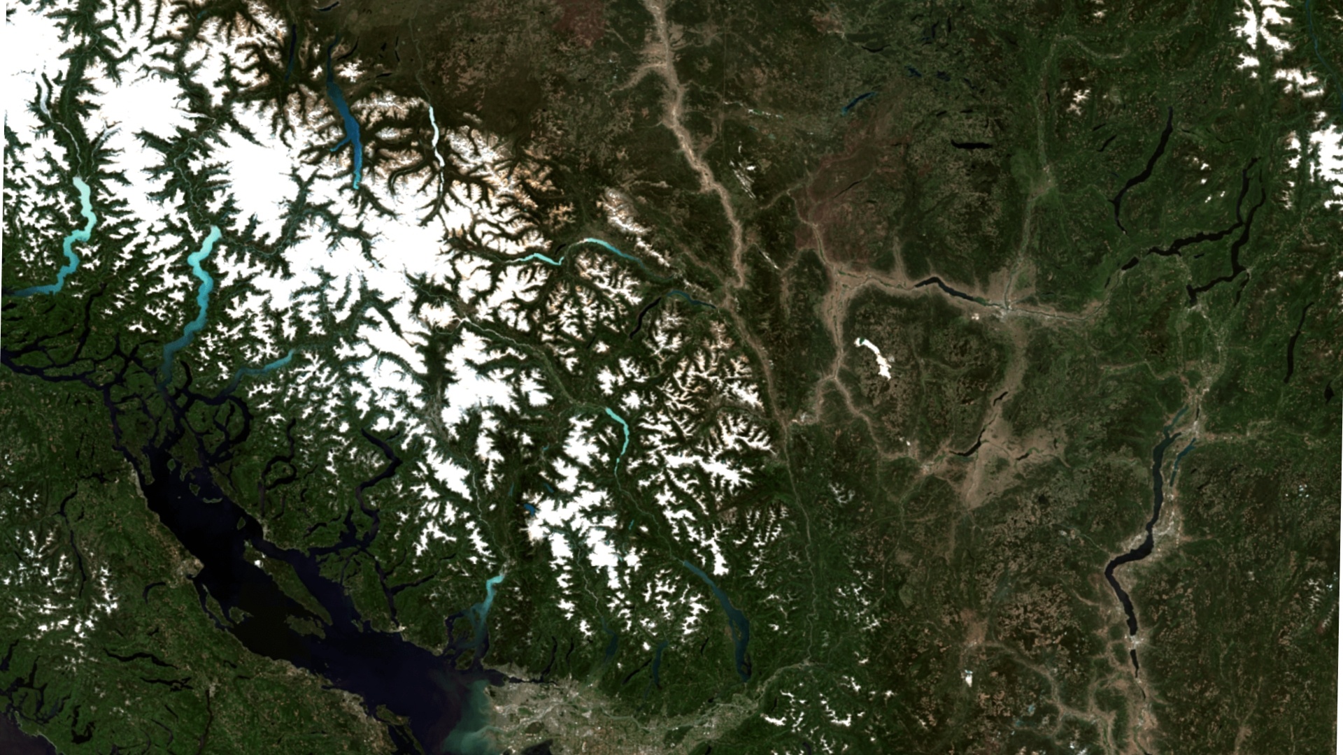
Tackling the Pressing Challenge of Deforestation to Help Build a More Sustainable Future Terry Cunni...
Several bins of varied winter vegetation cover are defined using NDVI thresholds in Pennsylvania Des...

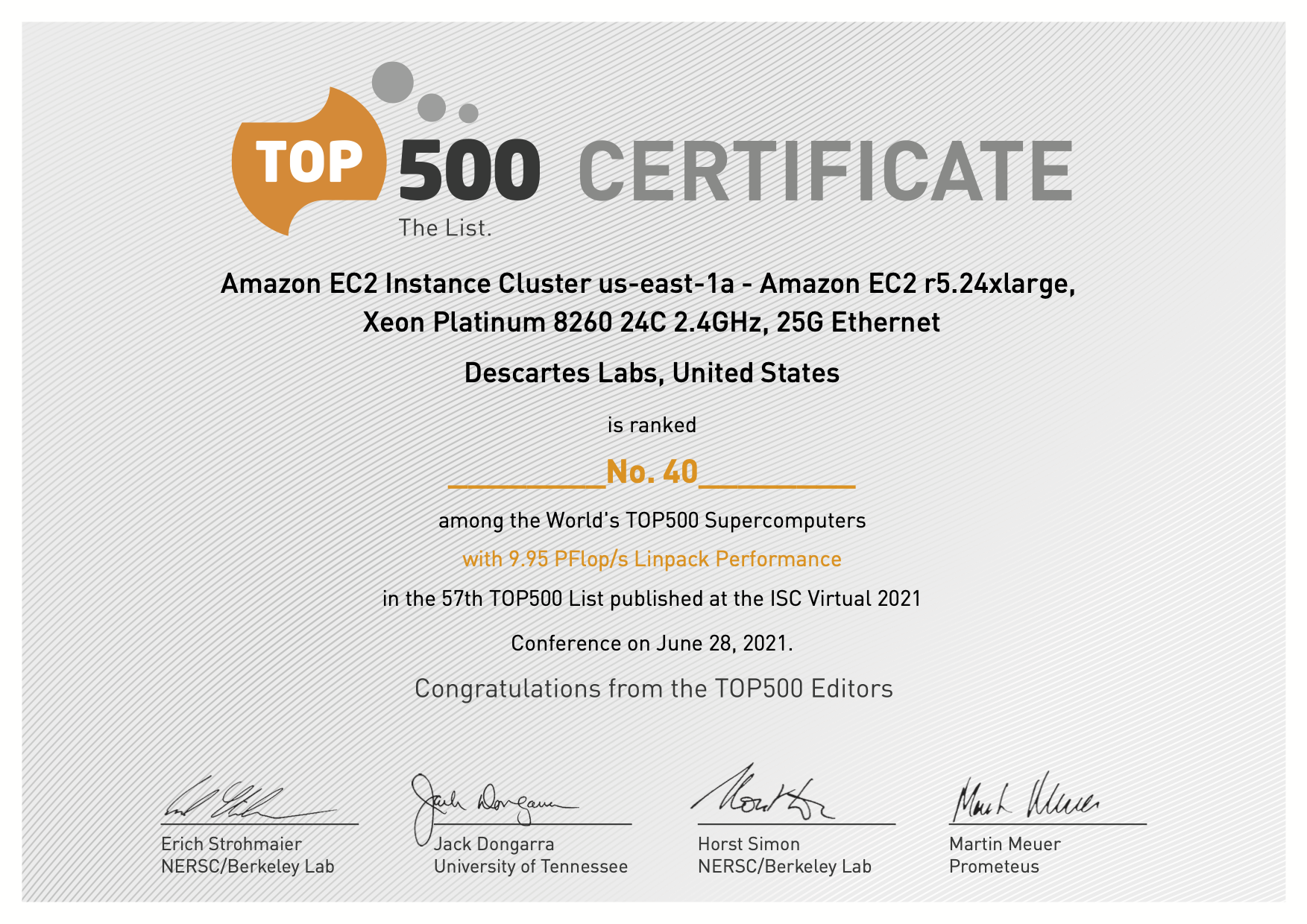
SANTA FE--(Newswire.com)--Jun. 28, 2021-- Descartes Labs, Inc. today announced a new cloud supercomp...

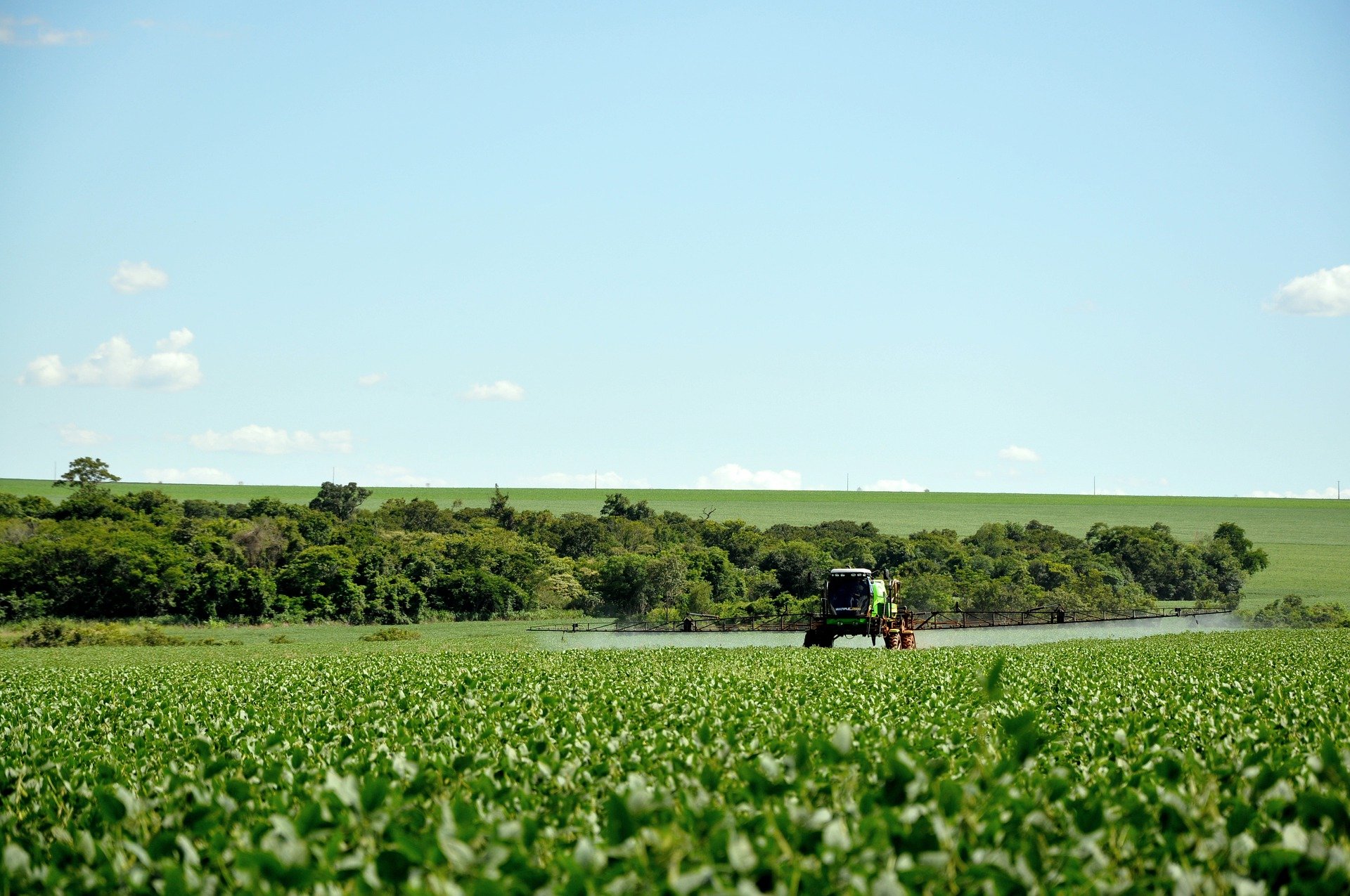
Improving trading and procurement performance with geospatial data and machine learning A recent rep...