.jpg?width=289&height=168&name=Data%20Use%20cases%20(1).jpg)
The Price of Being Trusted: Why Commercial Earth Observation Chose Standards
As commercial Earth observation grows, shared standards are becoming essential for trusted, interoperable satellite data and operational decision-making.


Our very own Don Osborne was invited to participate in Deutsche Bank’s podcast series Making Sense o...
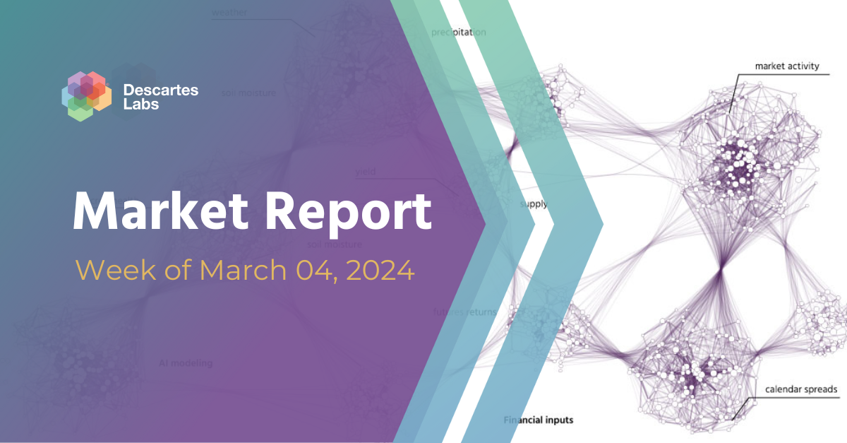
Market Insights Overview: Descartes Labs' advanced geospatial insights uses quantitative models for ...
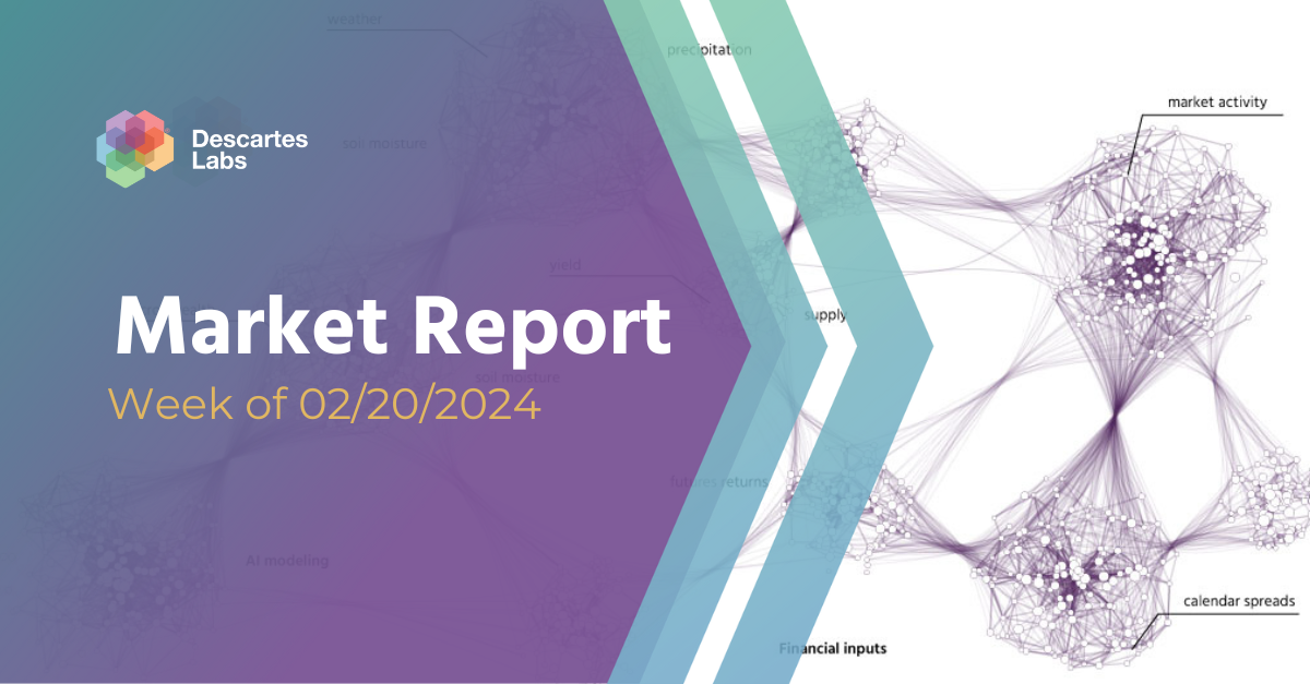
Market Insights Overview: Descartes Labs' advanced geospatial insights uses quantitative models for ...

Market Insights Overview: Descartes Labs' advanced geospatial insights uses quantitative models for ...
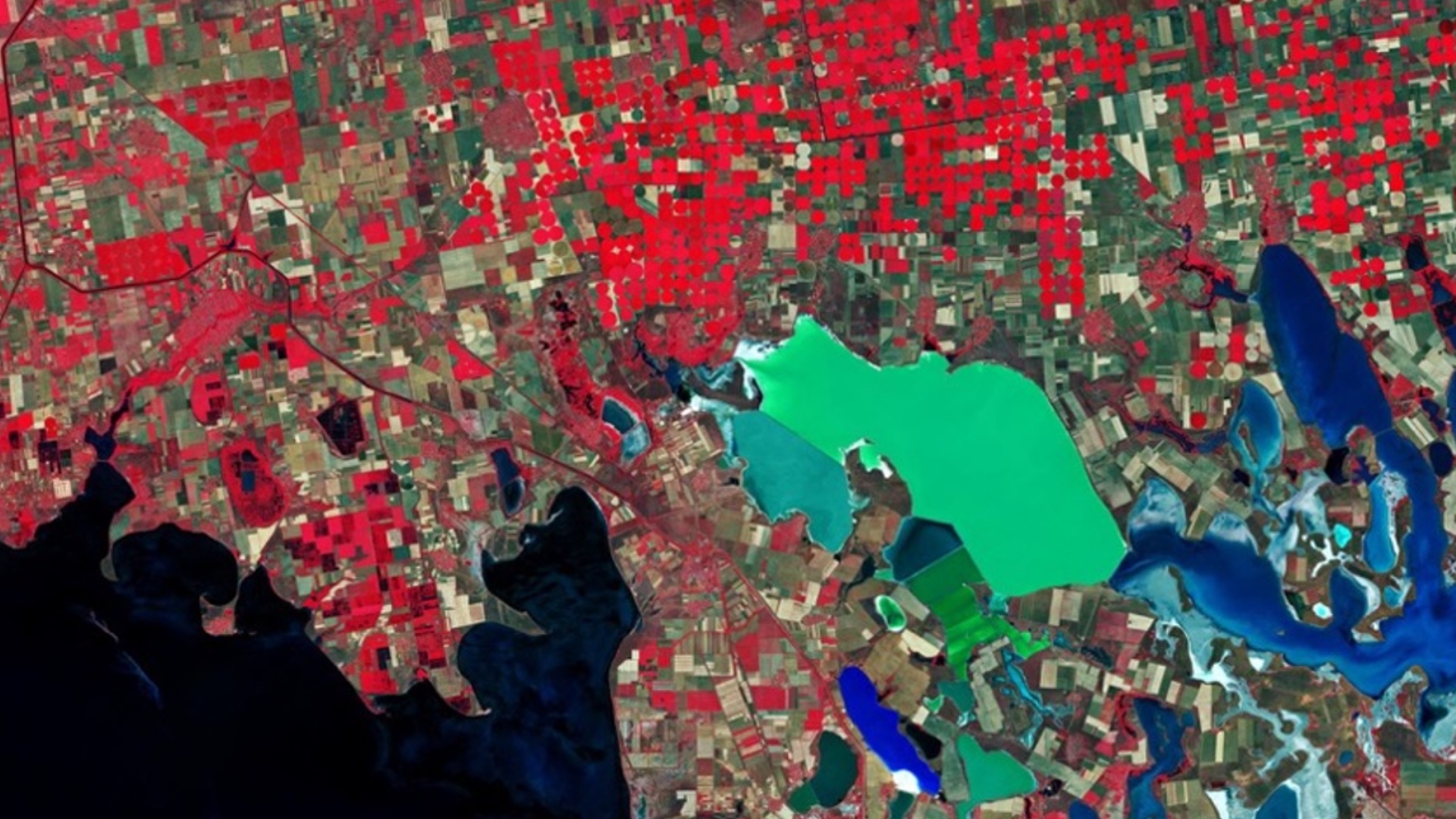
ESA Copernicus-enabled white paper and interactive tools help interested parties understand how spac...

Market Insights Overview: Descartes Labs' advanced geospatial insights uses quantitative models for ...
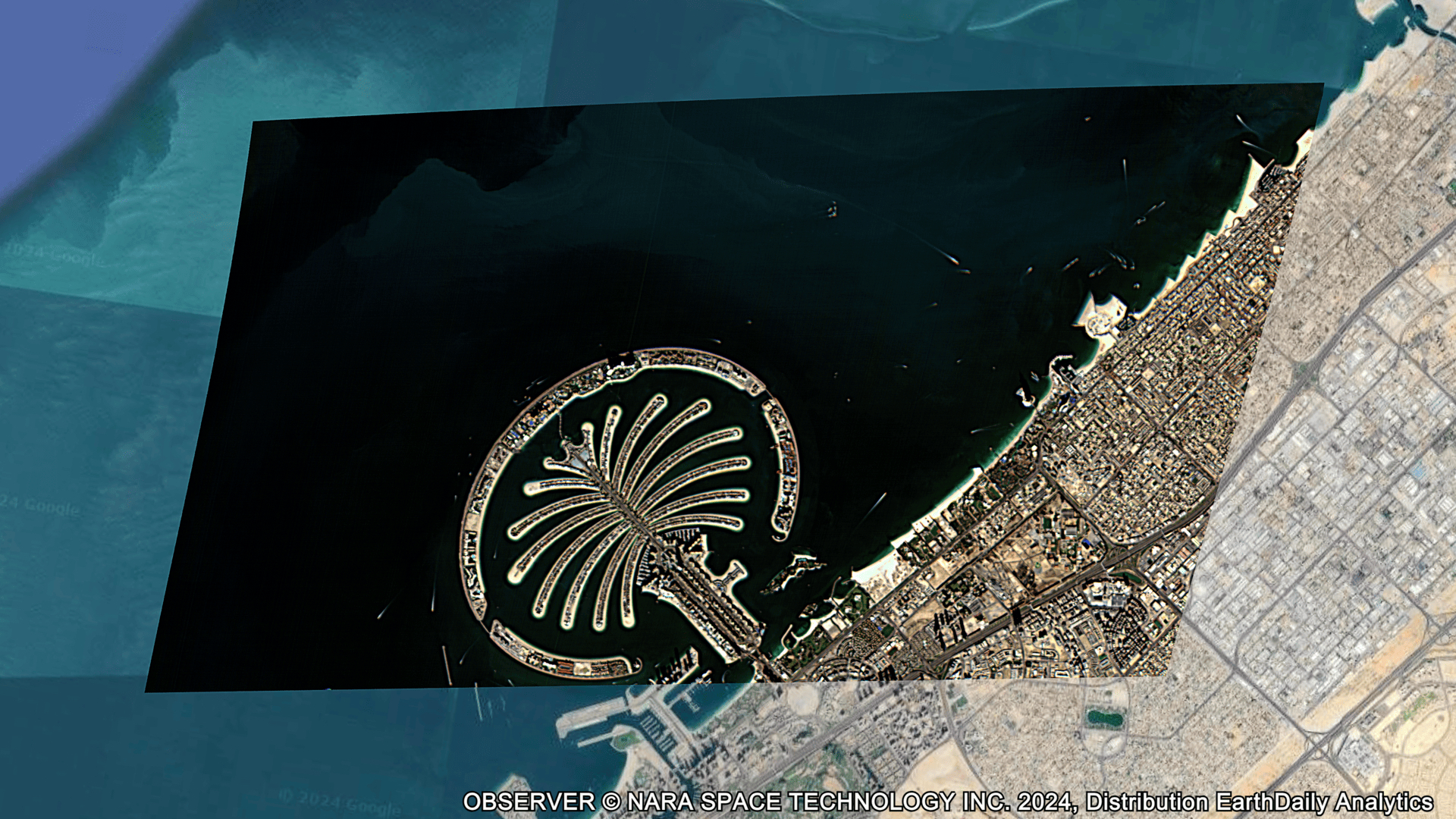
Technology Overview: At the core of Descartes Labs’ technology is a powerful end-to-end geospatial m...
Andrew Mullin January 24, 2024 At EDA, we’re not shy about the fact that we are excited about what t...
