.jpg?width=289&height=168&name=Data%20Use%20cases%20(1).jpg)
The Price of Being Trusted: Why Commercial Earth Observation Chose Standards
As commercial Earth observation grows, shared standards are becoming essential for trusted, interoperable satellite data and operational decision-making.


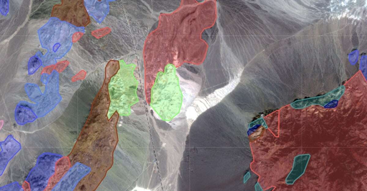
Product Overview: Marigold is a GIS-like user interface, built for the exploration geologist, which ...


Outside the city of Mykolaivka, Ukraine, a combine sits in a field full of landmines laid by Russian...

By Pedro Borges Introduction: In partnership with the European Space Agency EarthDaily recently host...

By Clara Galtier In Chernihiv, Ukraine, near the Belarusian border, Sergey needs $2,500 to buy fuel ...

Agriculture Green bonds. With ties to financial innovation going back to time immemorial, the unique...

As this Halloween approaches, it’s not just ghouls and goblins that spook cocoa traders; the record ...


The importance of weather forecasts during the early stages of a crop’s growing season cannot be ove...

October 17, 2023 How Earth Observation impacts the monitoring and verifying the carbon stock of fore...
