

.jpg?width=289&height=168&name=Data%20Use%20cases%20(1).jpg)
Tracking Crop Change After Severe Weather
How EarthDaily tracked crop change after summer storms in Iowa and Nebraska using satellite data — and what it means for California's coming El Niño season.
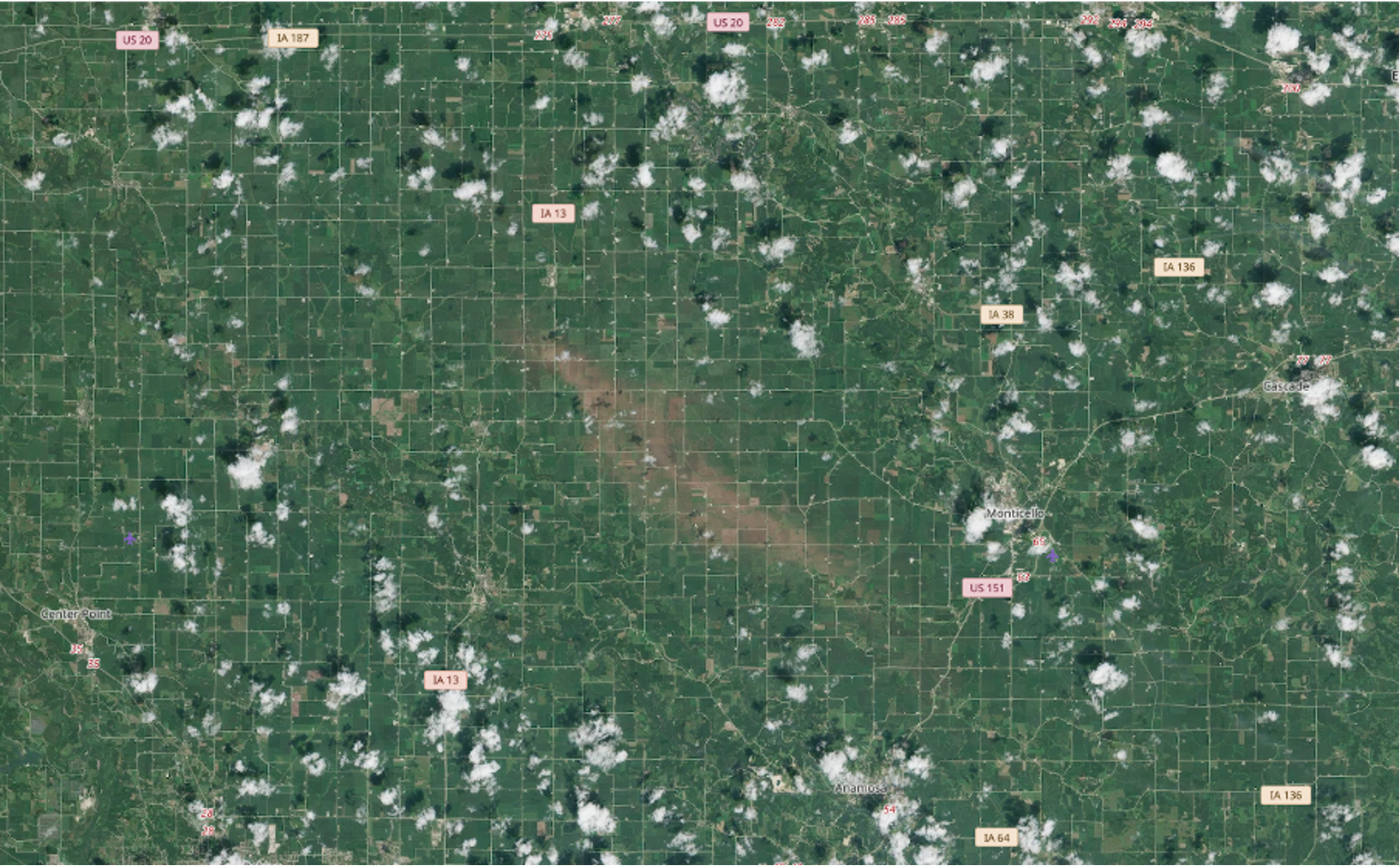
The Descartes Labs Platform runs on Kubernetes and scales from hundreds to tens of thousands of core...
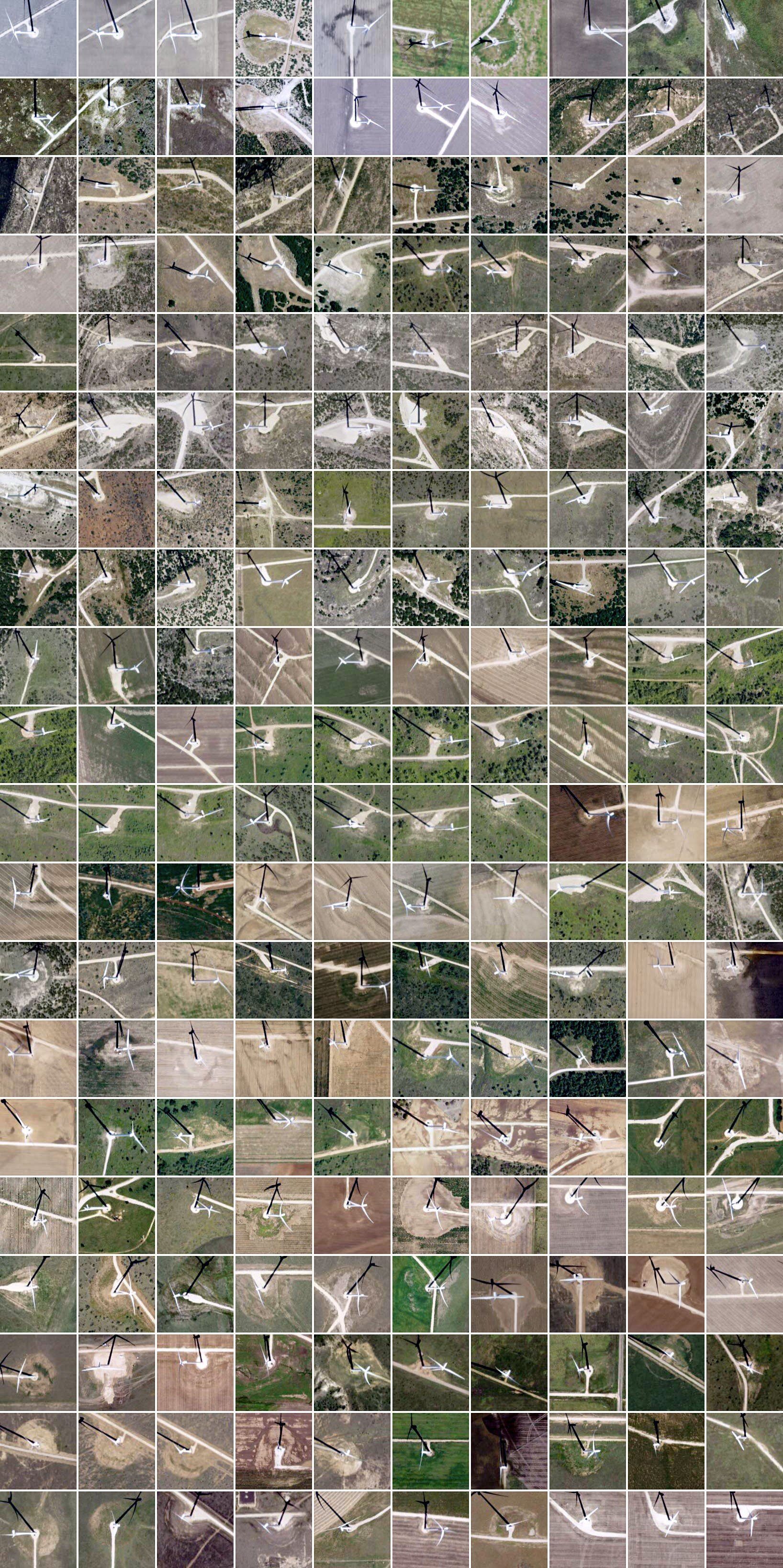
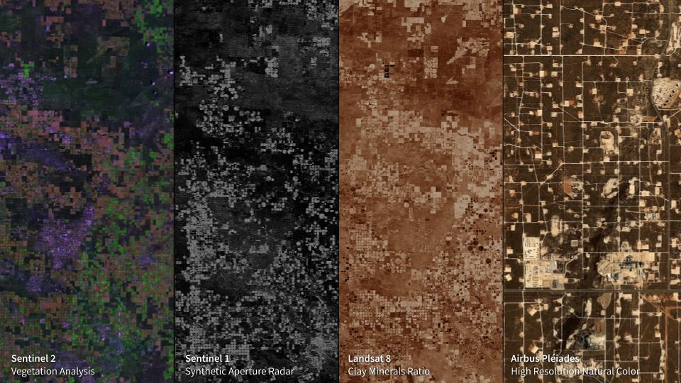
This eight-mile-across image of McCamey, Texas sits in a part of the state with a seemingly endless ...
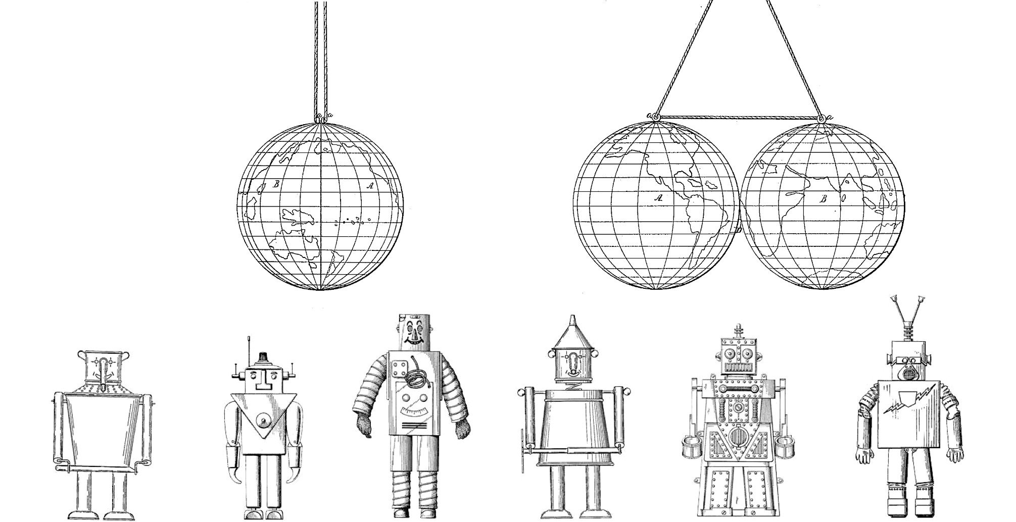
Let’s cut to the chase. Artificial Intelligence (A.I.) is a buzzword that is applied to so many thin...
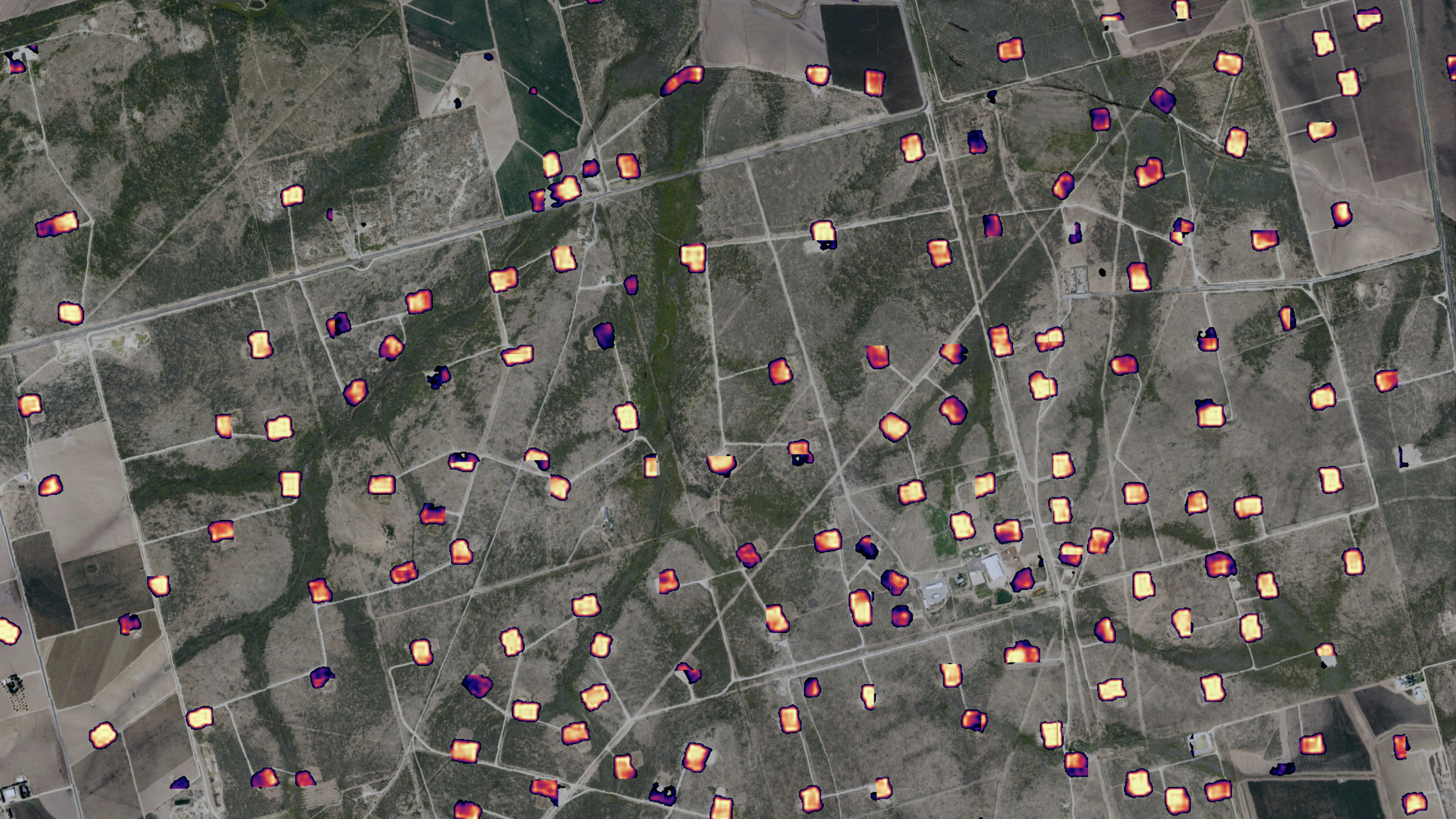
Creating Actionable Intelligence for the Oil & Gas Sector by Fusing Commercial and Proprietary D...
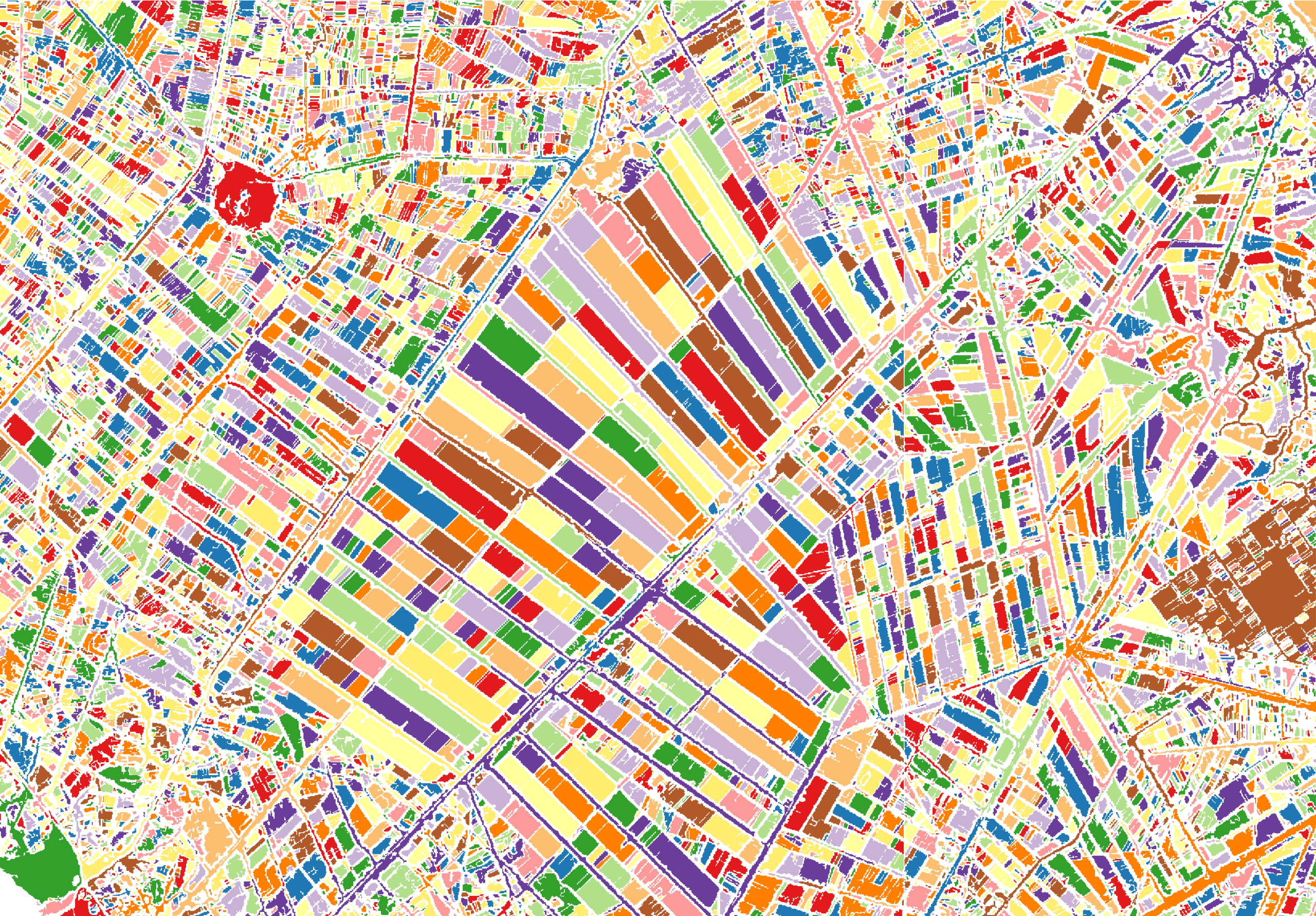
At Descartes Labs, we got our start modeling agricultural yields using data from satellites. Along t...
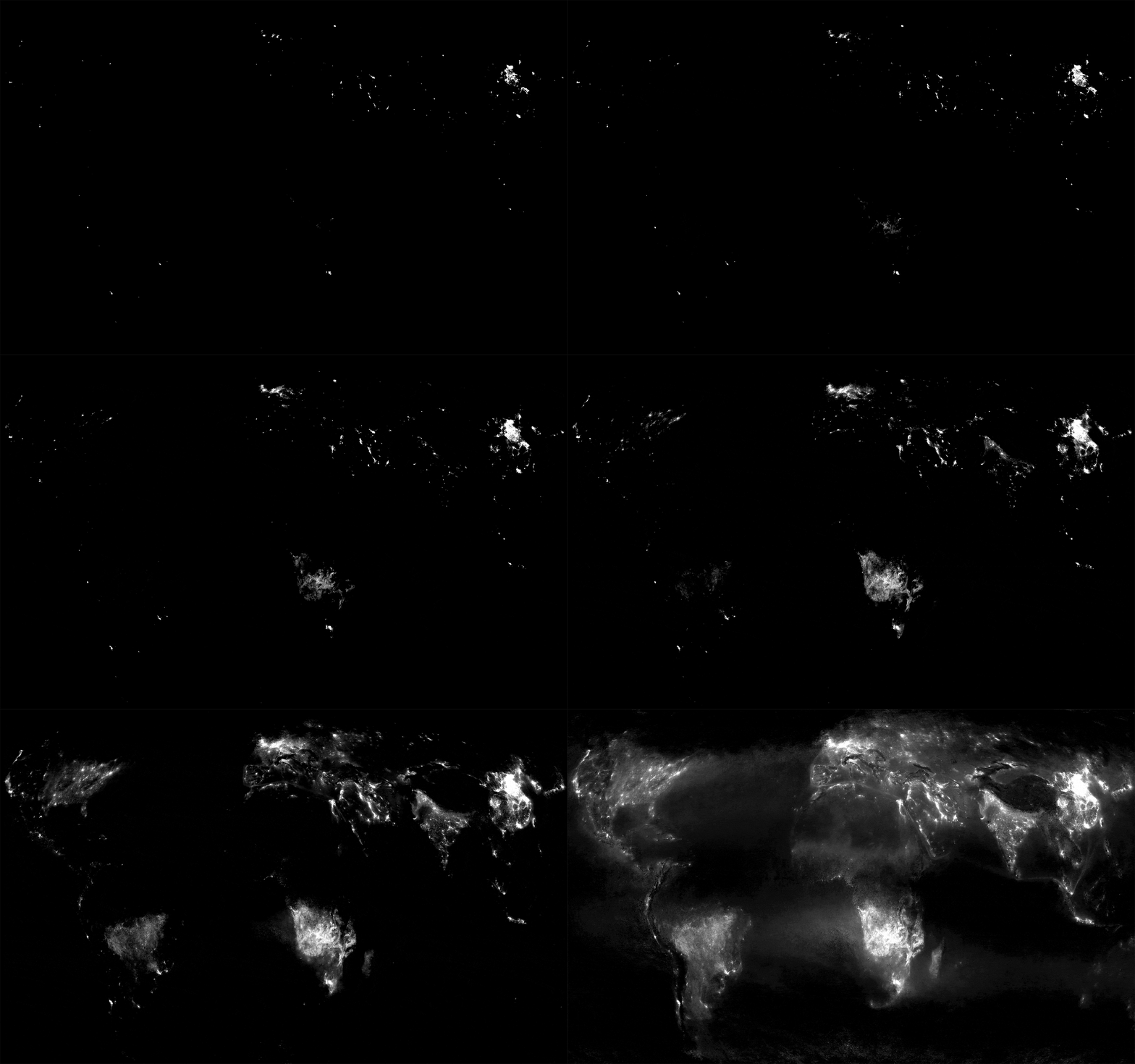
Nikhil Sharma at Descartes Labs created a global composite of Nitrogen Dioxide (NO₂) over August and...
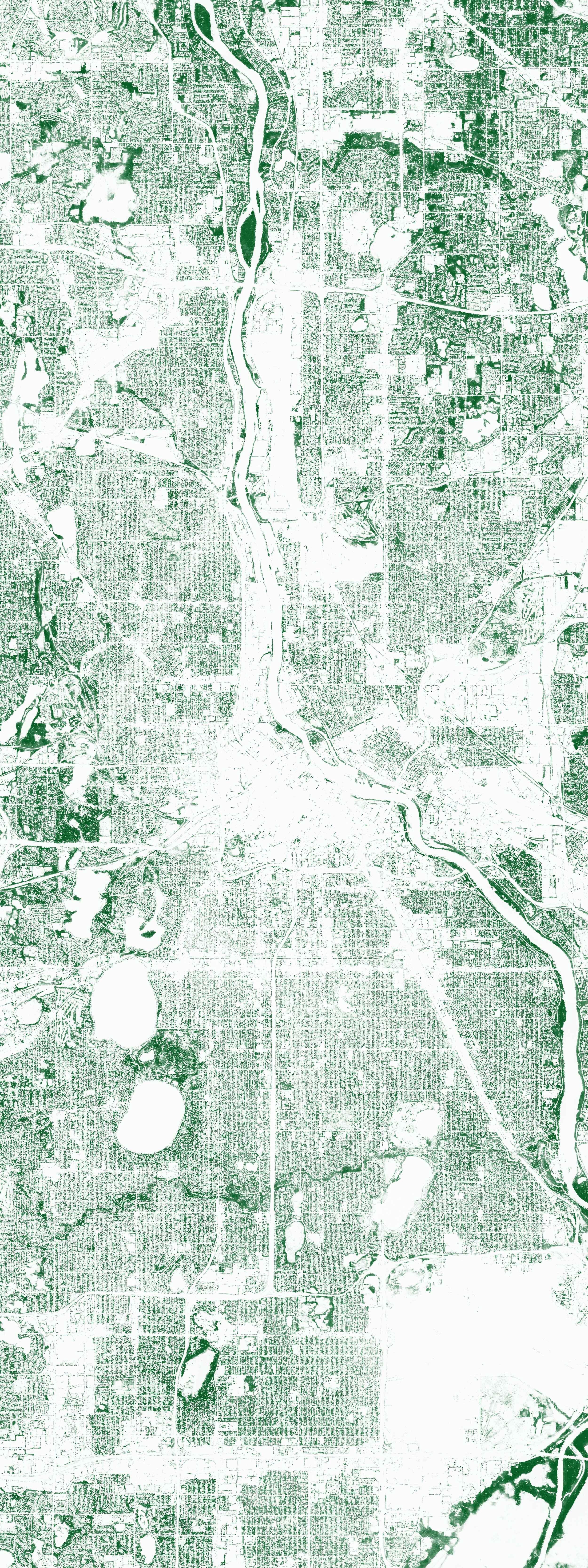
Descartes Labs built a machine learning model to identify tree canopy globally using a combination o...
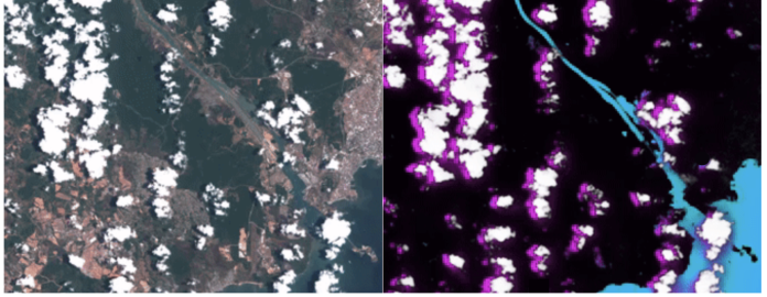
As some of you might know, in January I joined Descartes Labs. As a company, one of our goals is to ...
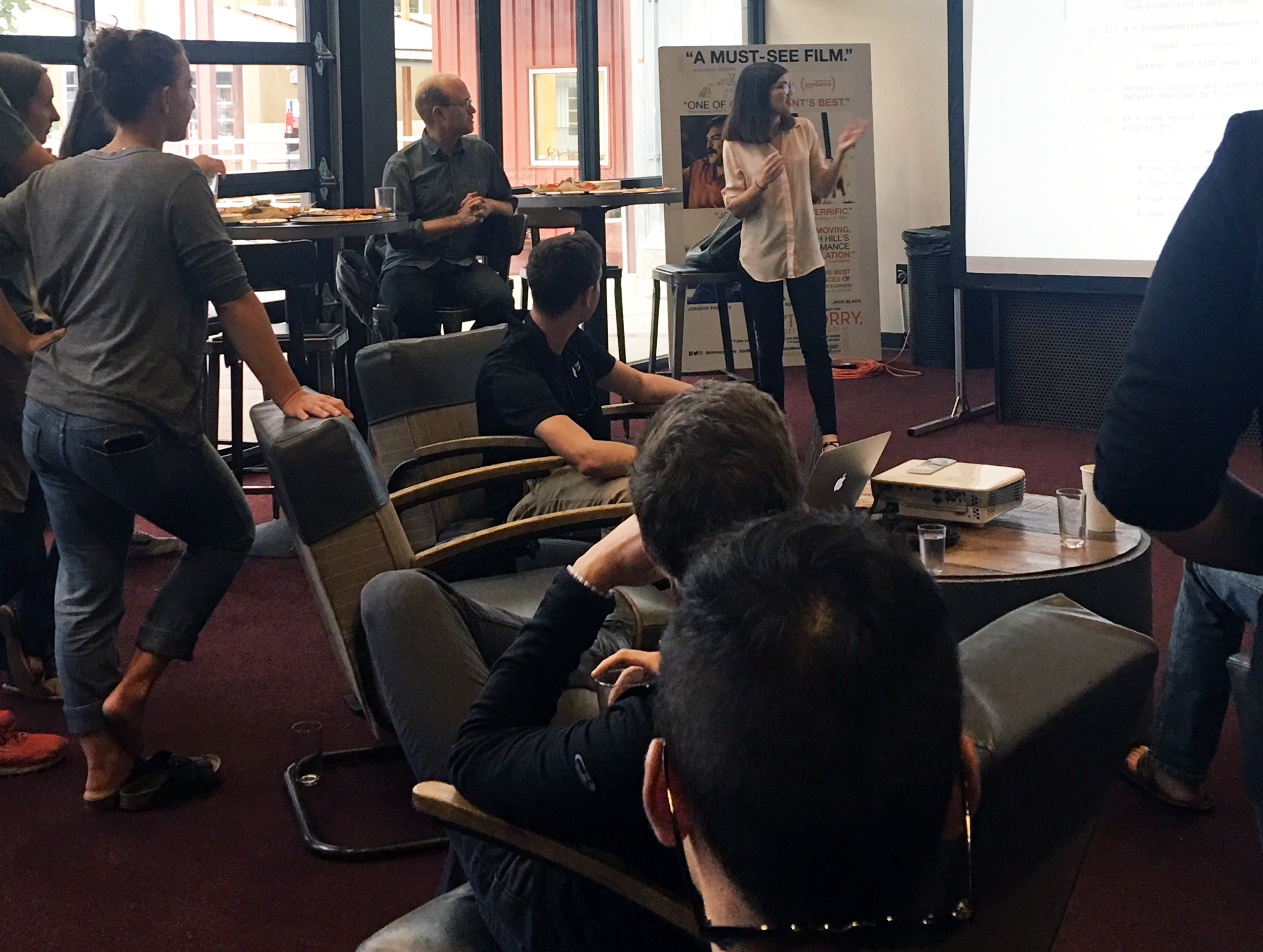
We had our first summer internship program at Descartes Labs this summer, and wow, were we impressed...
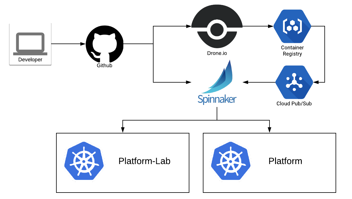
Deployment Pipelines for a Descartes Labs Service At Descartes Labs we’ve been using Spinnaker to de...
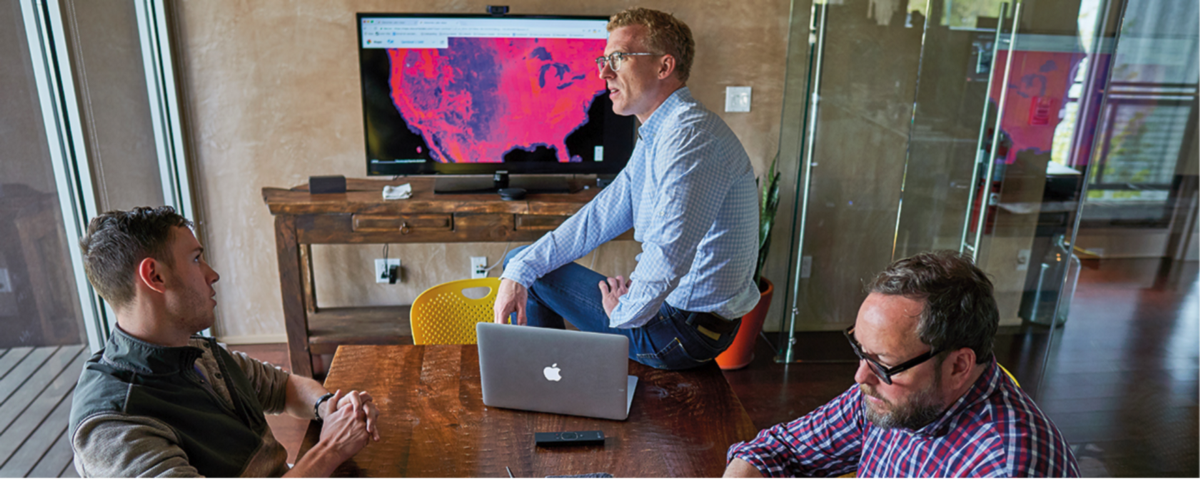
(This article has been reposted from www.cargill.com)
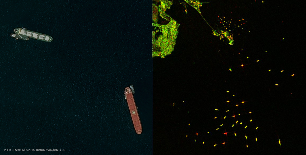
Today we’re excited to announce that DARPA (Defense Advanced Research Projects Agency) has selected ...
