.jpg?width=289&height=168&name=Data%20Use%20cases%20(1).jpg)
The Price of Being Trusted: Why Commercial Earth Observation Chose Standards
As commercial Earth observation grows, shared standards are becoming essential for trusted, interoperable satellite data and operational decision-making.

By: Dr. Jacob White, Ph.D., Software Engineer at EarthDaily Analytics Environmental Impact Reports (...
LAS VEGAS — Nov. 29, 2022 — At AWS re:Invent, Amazon Web Services, Inc. (AWS), an Amazon.com, Inc. c...

2022 has been a difficult year for vegetable oils supply availability worldwide. We have seen declin...

Food and beverage companies depend on raw ingredients like corn, wheat, barley, coffee, sugarcane, o...
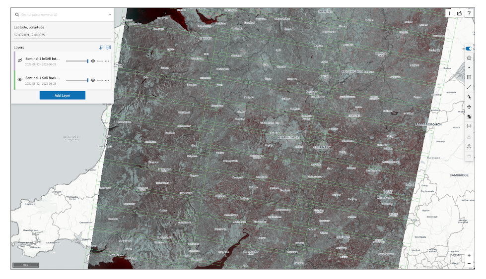
This is Part 5 of a technical series focusing on Descartes Labs’ global SAR processing capabilities....

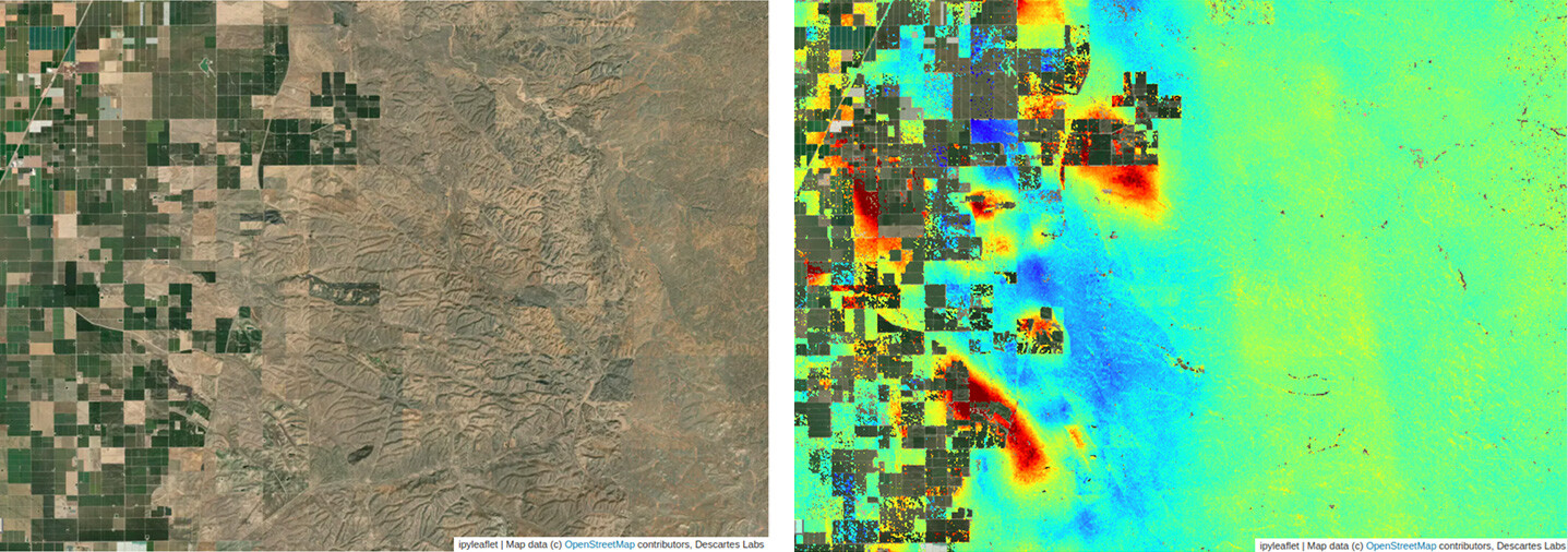
This is Part 4 of a technical series focusing on Descartes Labs’ global SAR processing capabilities....
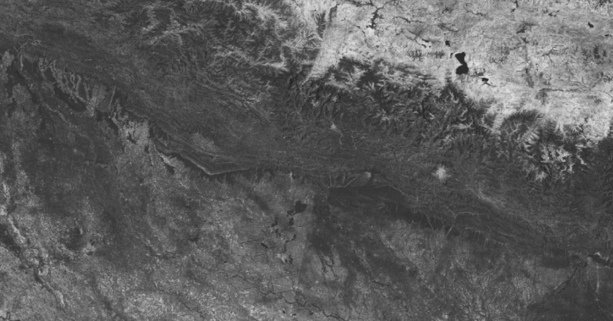
This is Part 3 of a technical series focusing on Descartes Labs’ global SAR processing capabilities....

A global refiner and processor in the food and beverage industry minimizes financial risk by proacti...
This is Part 2 of a technical series focusing on Descartes Labs’ global SAR processing capabilities....
