.jpg?width=289&height=168&name=Data%20Use%20cases%20(1).jpg)
The Price of Being Trusted: Why Commercial Earth Observation Chose Standards
As commercial Earth observation grows, shared standards are becoming essential for trusted, interoperable satellite data and operational decision-making.

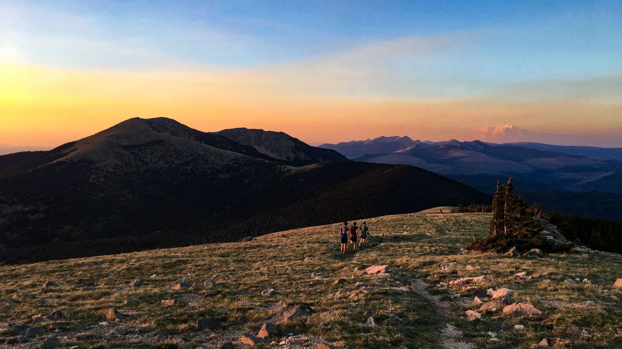
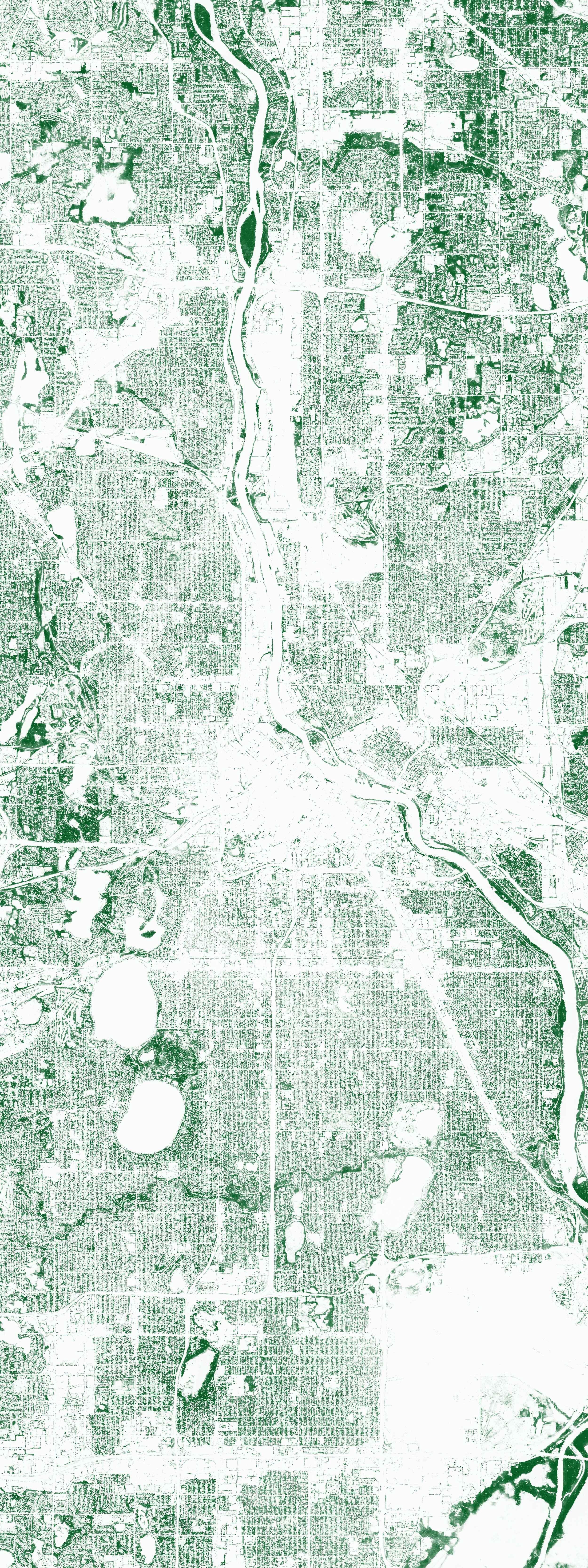
40 Snapshots of the Region Descartes Labs Calls Home If you’ve never been to the city of Santa Fe, y...
Digital supply chain transformations require “decision-useful” data to monitor and measure environme...
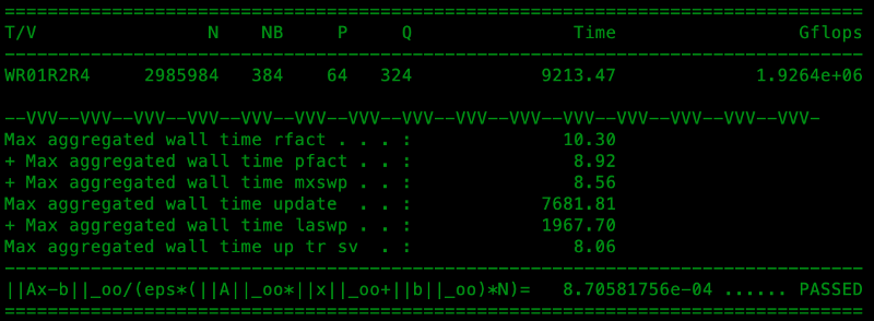
Descartes Labs builds one of the world’s TOP500 fastest supercomputers and the first system on the l...

In February of 2015, after years of delays (including seven that saw the project literally sitting i...
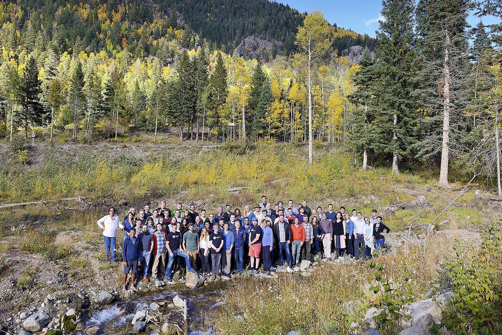
As Descartes Labs grows rapidly, we’re constantly adding to the executive team to support our contin...
The Descartes Labs Platform runs on Kubernetes and scales from hundreds to tens of thousands of core...
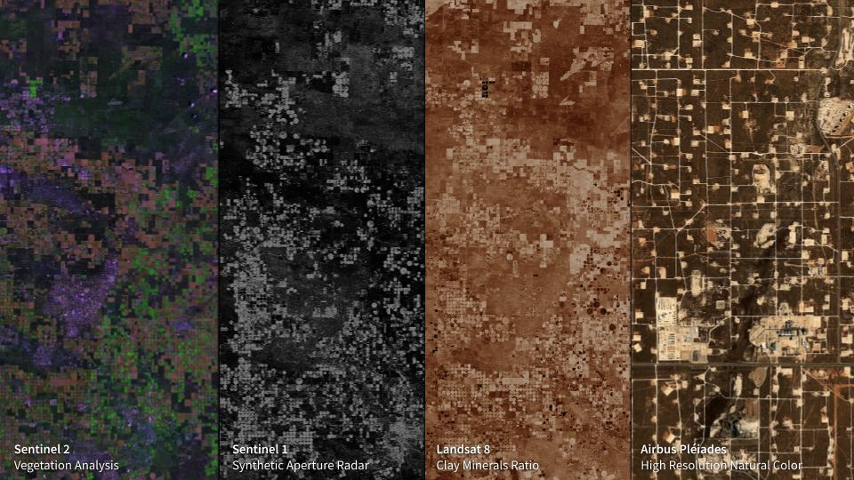
This eight-mile-across image of McCamey, Texas sits in a part of the state with a seemingly endless ...
Let’s cut to the chase. Artificial Intelligence (A.I.) is a buzzword that is applied to so many thin...
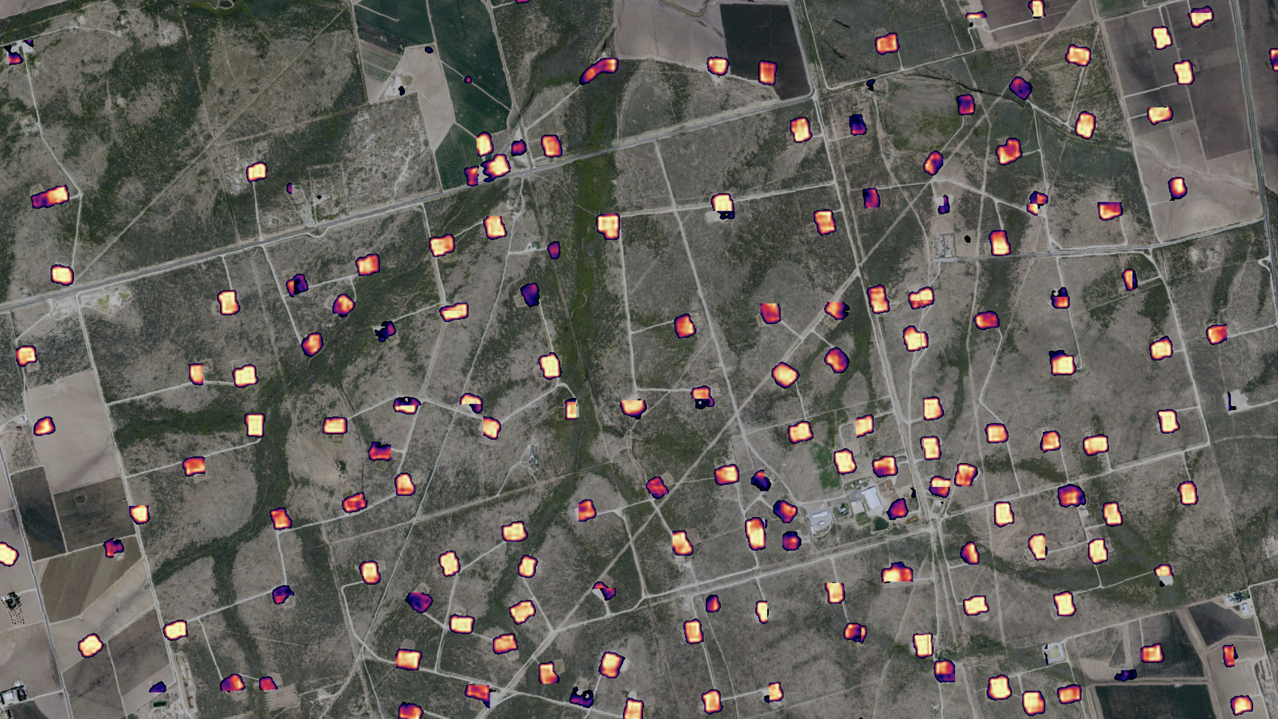
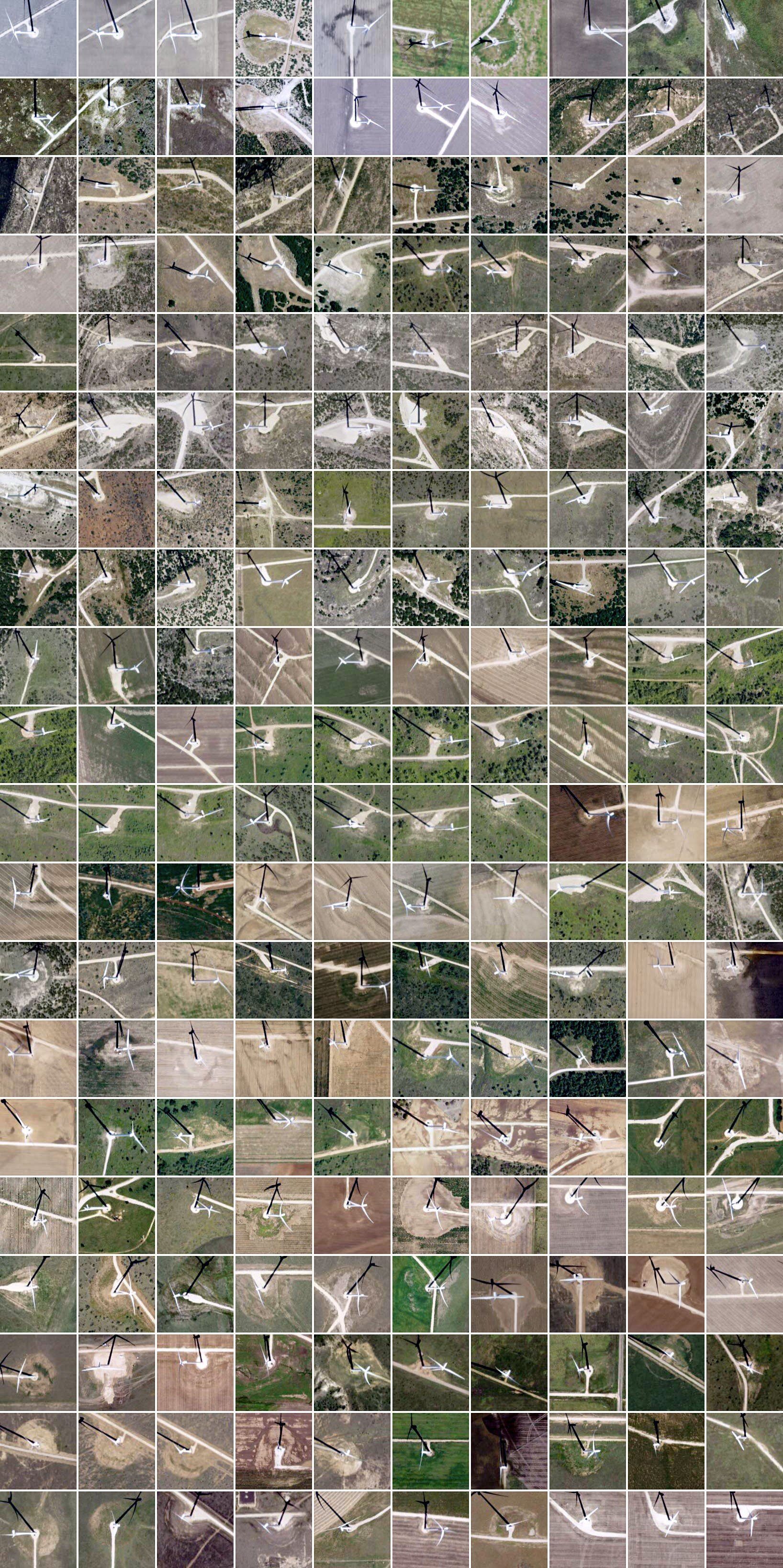
Creating Actionable Intelligence for the Oil & Gas Sector by Fusing Commercial and Proprietary D...

At Descartes Labs, we got our start modeling agricultural yields using data from satellites. Along t...

Nikhil Sharma at Descartes Labs created a global composite of Nitrogen Dioxide (NO₂) over August and...
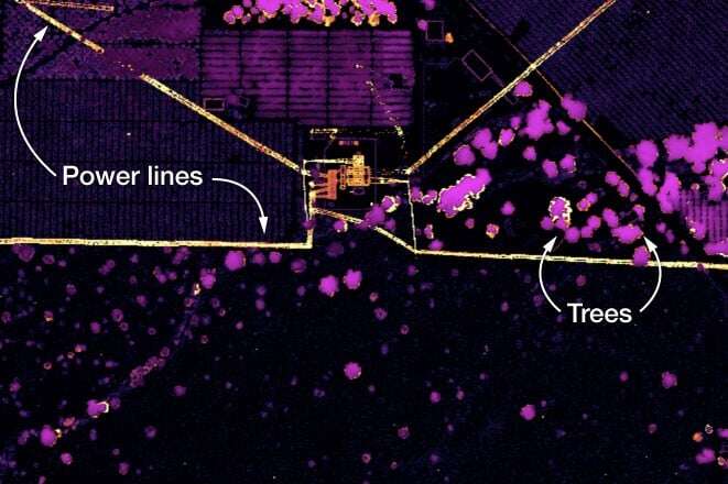
Descartes Labs built a machine learning model to identify tree canopy globally using a combination o...
