

.jpg?width=289&height=168&name=Data%20Use%20cases%20(1).jpg)
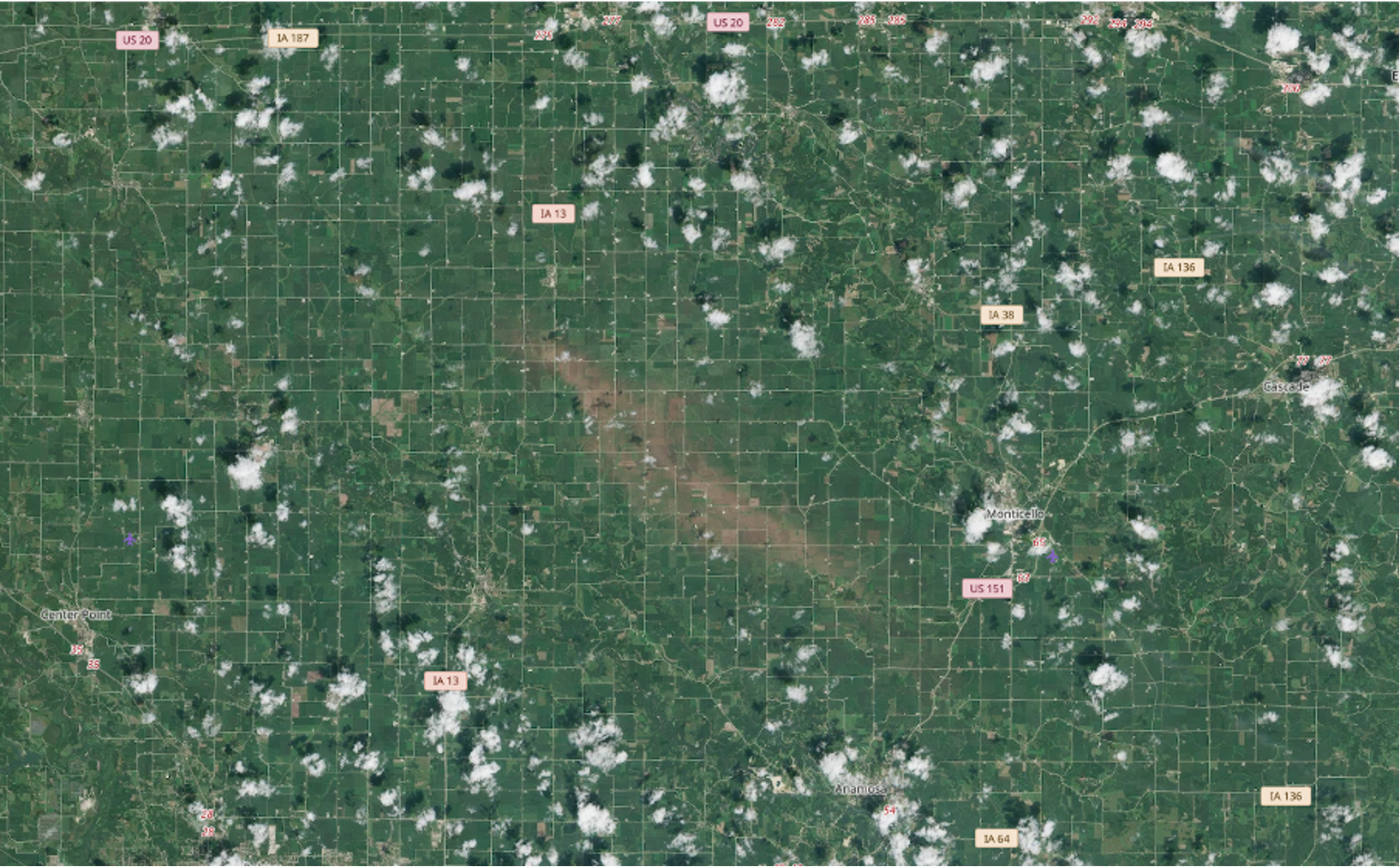
Tracking Crop Change After Severe Weather
How EarthDaily tracked crop change after summer storms in Iowa and Nebraska using satellite data — and what it means for California's coming El Niño season.
There’s never a dull moment over here at Descartes Labs. Between hosting the 2030 Governor’s Energy ...
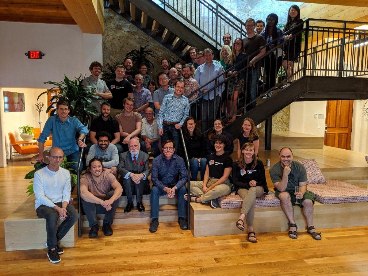
Santa Fe is a special place. Aside from its unique adobe-style architecture, one of the things that ...
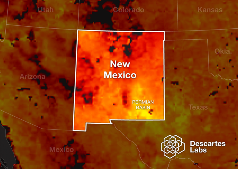
Today we’re excited to announce that Descartes Labs will create mapping and modeling capabilities to...
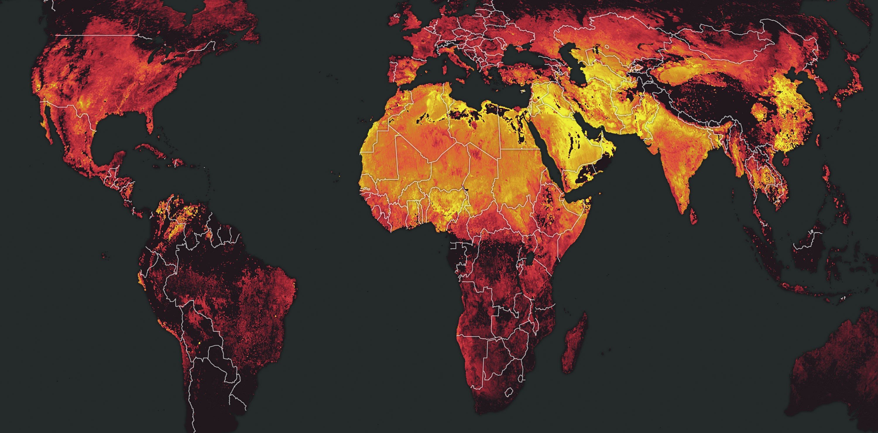
The European Space Agency’s launch of the Sentinel-5P satellite in October of 2017 ushered in a new ...
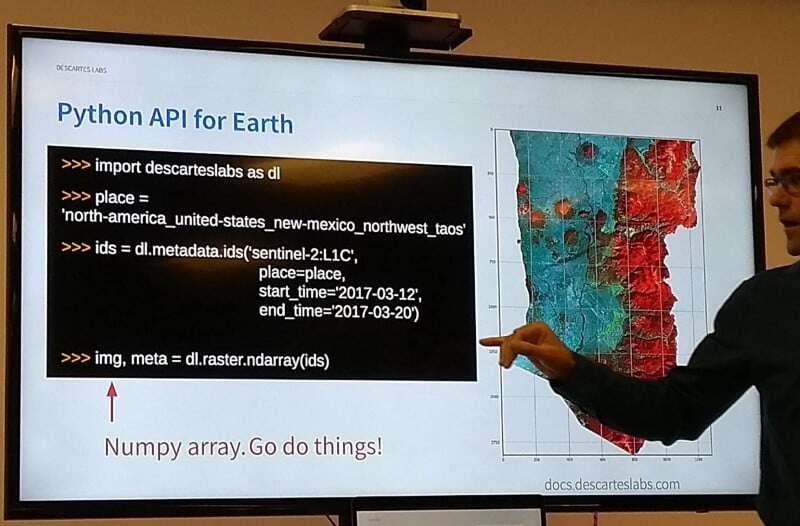
Descartes Labs aims to improve science around the world with free Platform API access for individual...
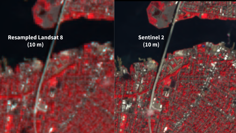
If you’ve ever gone online to find your favorite spot on a map and, upon zooming in, you were left d...
Suzi McBride, Descartes Labs newest board member We are thrilled to welcome Suzi McBride as our firs...
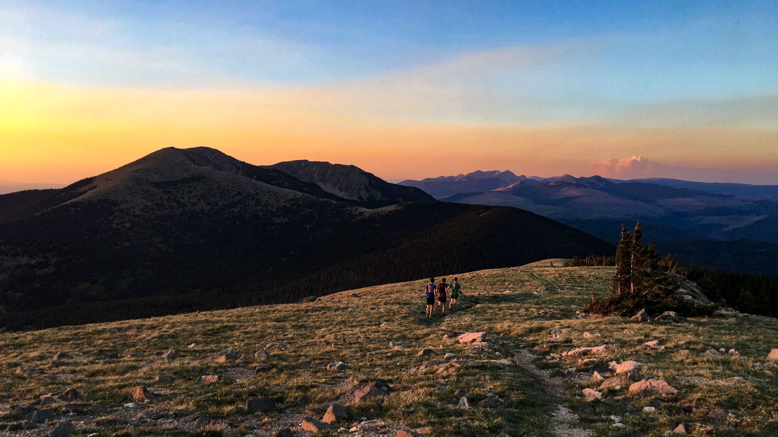
40 Snapshots of the Region Descartes Labs Calls Home If you’ve never been to the city of Santa Fe, y...
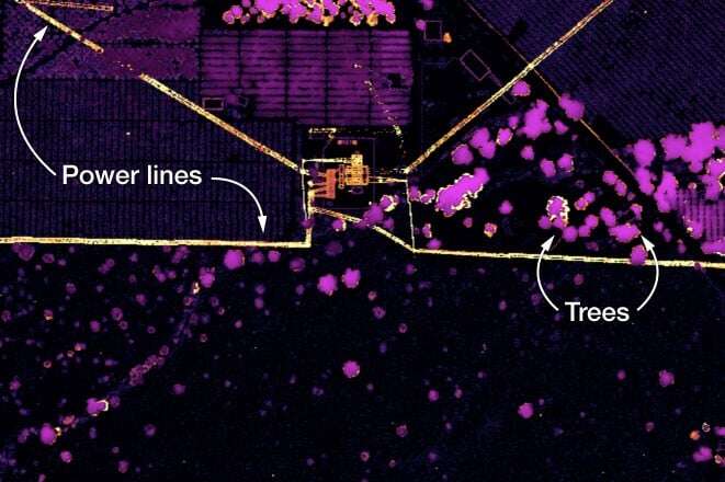
Digital supply chain transformations require “decision-useful” data to monitor and measure environme...
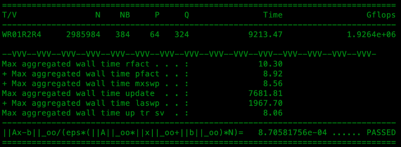
Descartes Labs builds one of the world’s TOP500 fastest supercomputers and the first system on the l...

In February of 2015, after years of delays (including seven that saw the project literally sitting i...
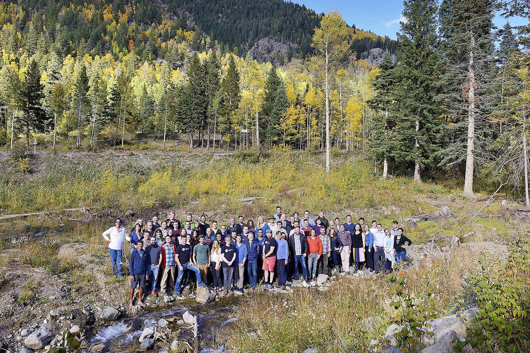
As Descartes Labs grows rapidly, we’re constantly adding to the executive team to support our contin...
