.jpg?width=289&height=168&name=Data%20Use%20cases%20(1).jpg)
SynMax Expands EarthDaily Constellation Subscription to Support Energy Analytics
New EarthDaily Constellation (EDC) imagery subscription will support SynMax’s Hyperion Platform and its expansion into new analytics offerings.
Earlier this year, EarthDaily partnered with Bloomberg Intelligence for a mid-season look at U.S. co...
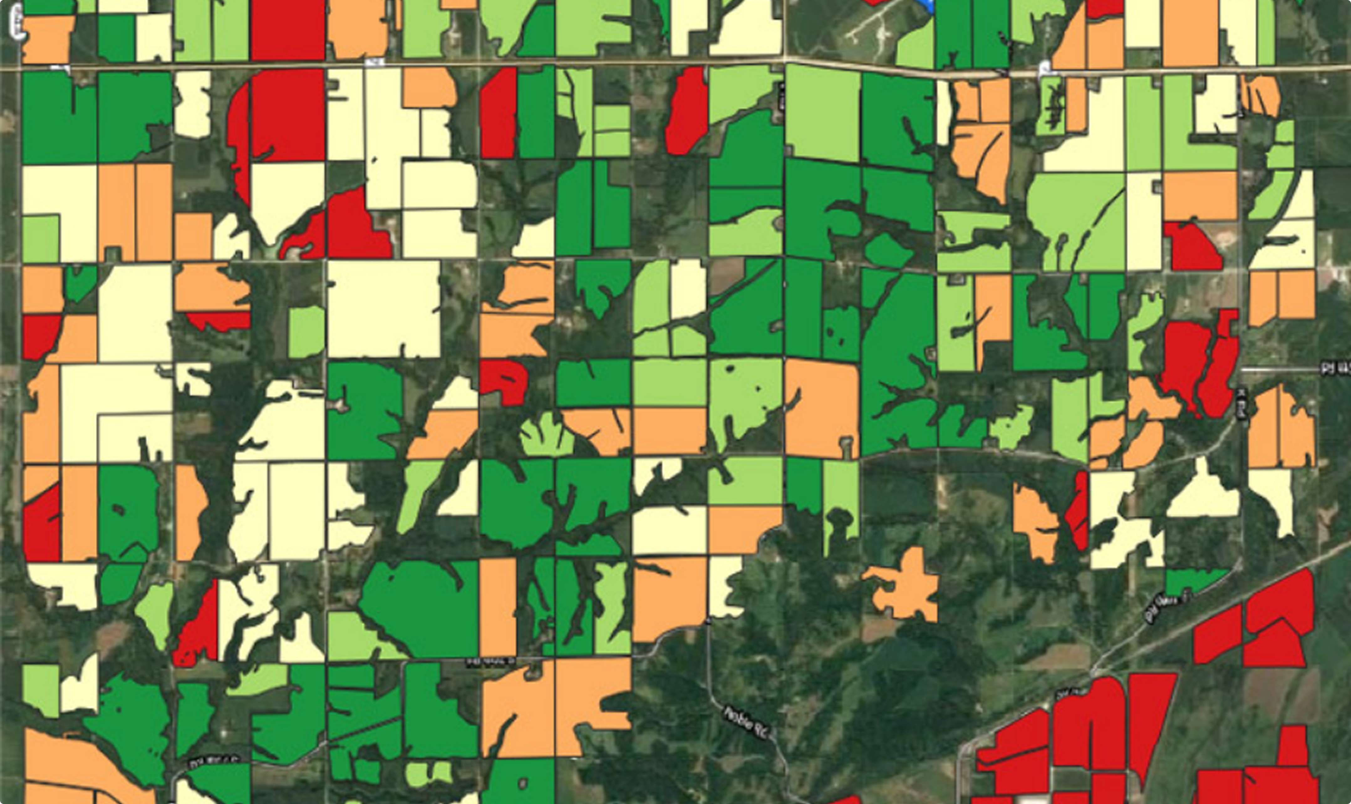
In agriculture, every year presents a new challenge. As weather patterns become more and more unpred...

Ottawa’s nation-building agenda has been clear for a while: rebuild infrastructure, strengthen sover...

Wildfire seasons are changing in ways that show up plainly in the numbers. Canada’s recent fire seas...
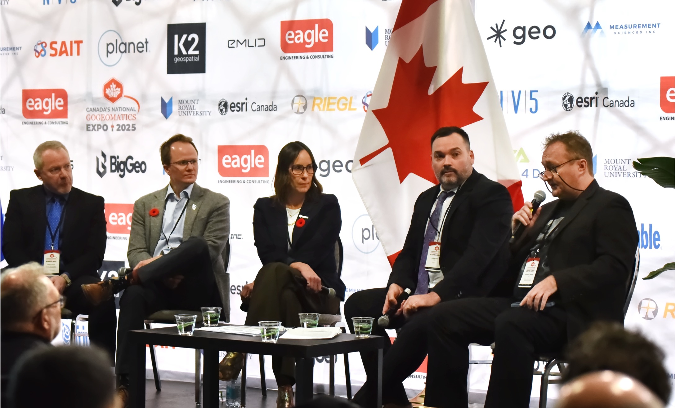
Canada is entering a new phase of nation-building. In Calgary, EarthDaily joined industry leaders fo...

EarthDaily has been named a finalist for the 2025 Nebius Robotics & Physical AI Awards, which re...
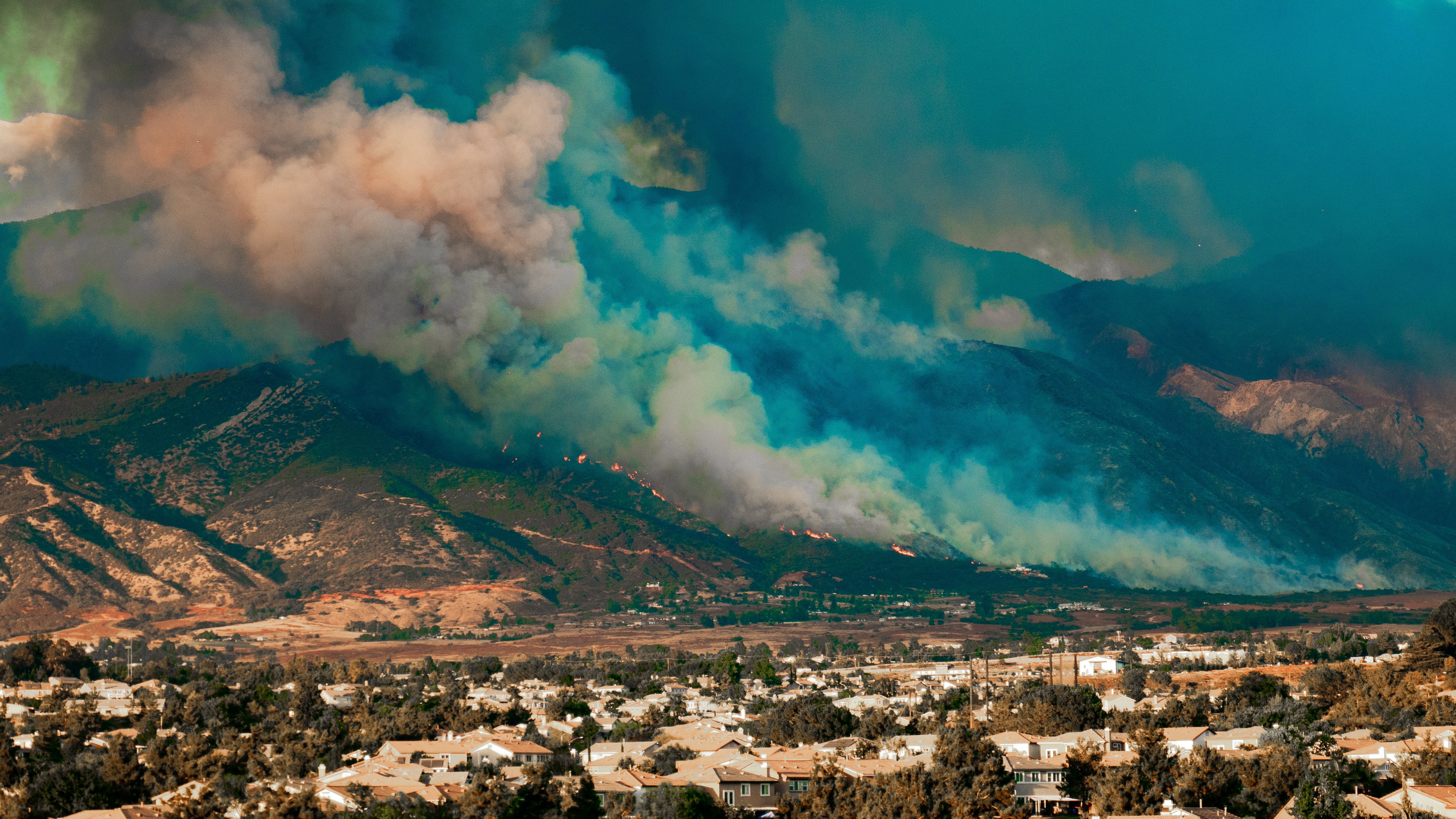
Science-grade Earth observation is about trust in data — calibrated, consistent, and comparable meas...
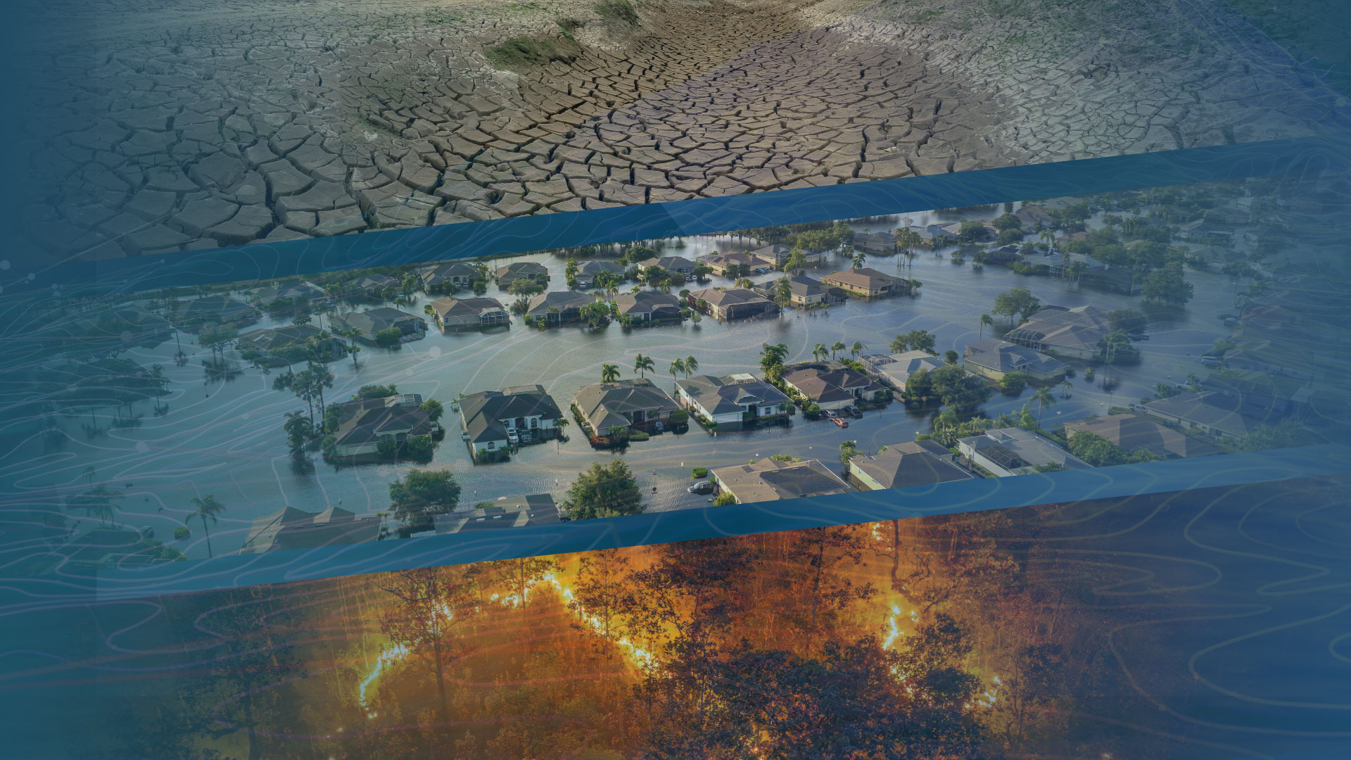
When Bloomberg reported that the United States has spent $7.7 trillion since 2000 on disaster recove...

At EarthDaily Analytics, sustainability is not a separate initiative; it is a guiding principle in h...
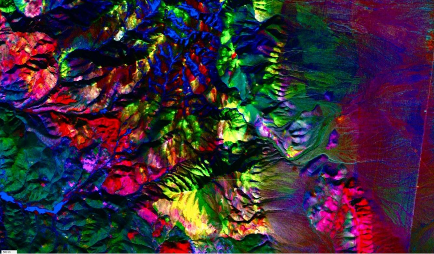
This summer, NASA’s Airborne Visible/Infrared Imaging Spectrometer (AVIRIS) campaigns flew extensive...
We’re excited to announce that EarthDaily has secured $60 million in equipment financing from Trinit...
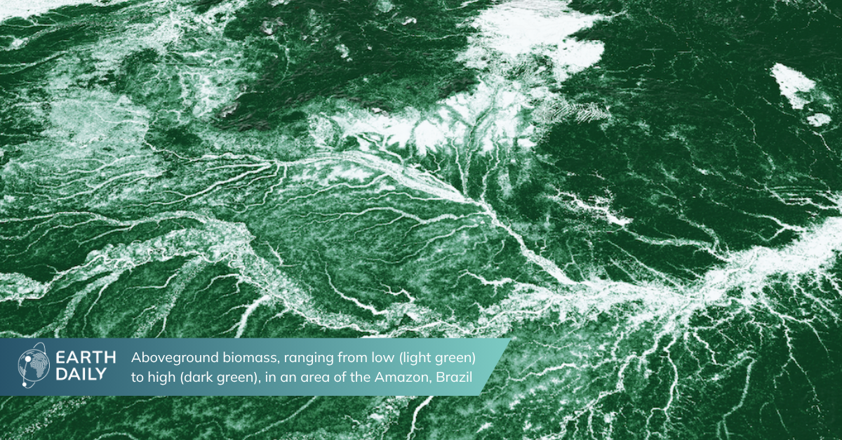
EarthDaily is proud to announce our release of two open datasets covering aboveground biomass (AGBD)...