Why Burn Severity Mapping Needs to Move Faster
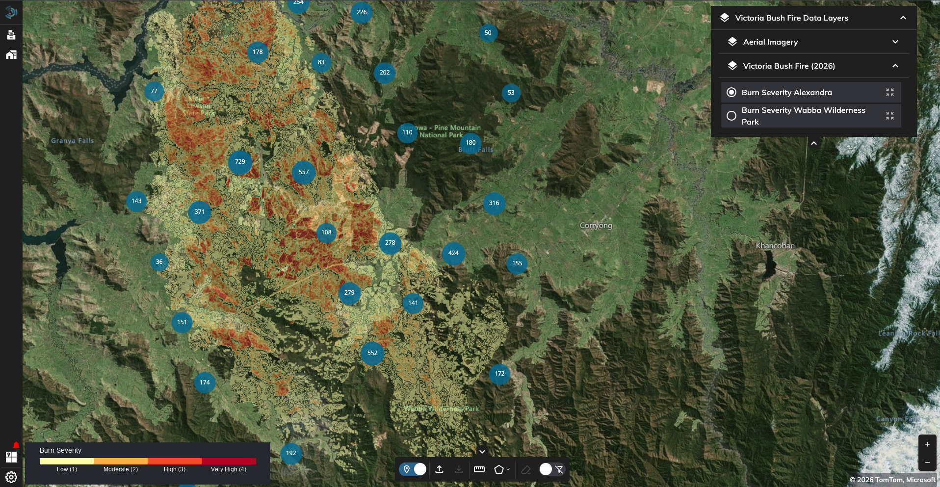
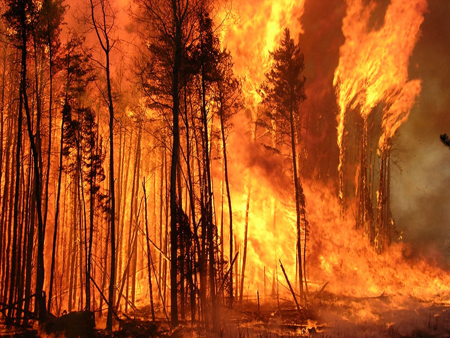
See how EarthDaily delivers fast, accurate burn severity assessments across multiple wildfires using an automated EarthPlatform workflow.
Most forestry companies, government agencies and insurers can produce a burn severity map. The harde...
Perth, Western Australia, captured by EDC-01, illustrating the EarthDaily Constellation's true 5 m, ...
EDC-08 launched aboard SpaceX Transporter-17 as EarthDaily releases first imagery from EDC-02 throug...
Late-June heatwave conditions across Europe. Source: EarthDaily analysis Crop conditions improved ac...
The progression of ASM between June 25, 2021 and June 26, 2025 along a river corridor in Western Afr...
In this science-grade data series, we have looked at calibration, consistency, and comparability. Bu...
ASM activity visibility in Sentinel-2 imagery collected on November 11, 2024 (left) and December 16,...
(This is the fourth blog in our science-grade data series. The first three articles looked at what s...
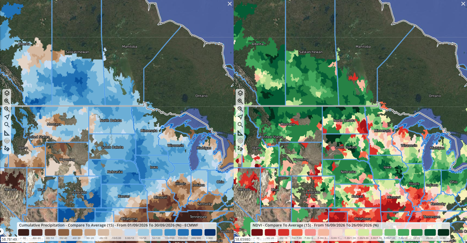
As forecasts point to a strong El Niño developing in 2026, EarthDaily’s ag team is watching where he...
EDC imagery shown in natural color and false color, highlighting how different spectral views can re...
Wheat conditions remained under pressure in May, while improved rainfall in parts of Brazil, Europe,...
Artisanal miners in Ghana. Image Source: Morten Larsen/World Bank.